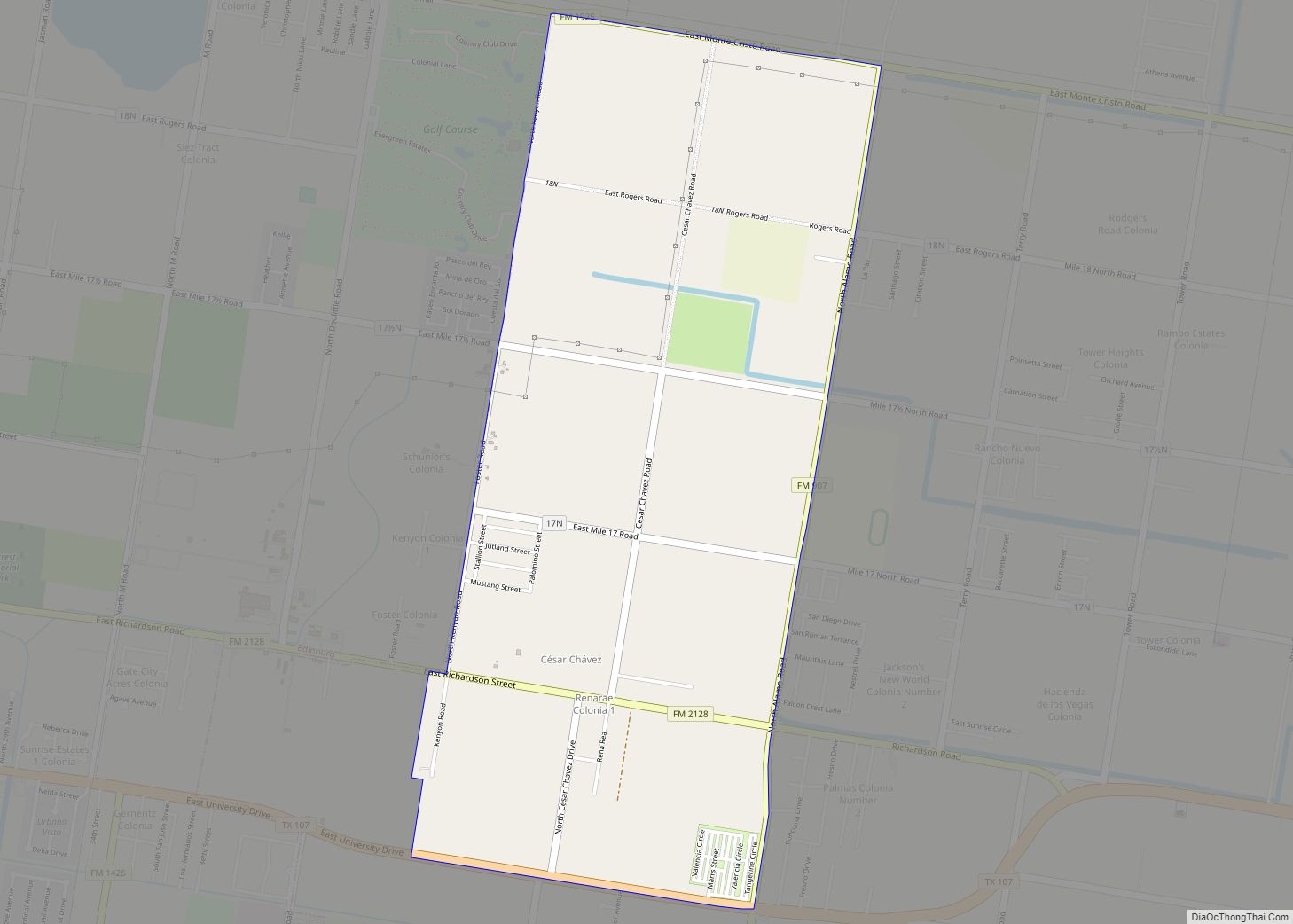
César Chávez is a census-designated place (CDP) in Hidalgo County, Texas. The population was 1,929 at the 2010 United States Census. It is part of the McAllen–Edinburg–Mission Metropolitan Statistical Area. César Chávez CDP overview: Name: César Chávez CDP LSAD Code: 57 LSAD Description: CDP (suffix) State: Texas County: Hidalgo County Elevation: 85 ft (26 m) Total Area: ... Read more
Texas Cities and Places
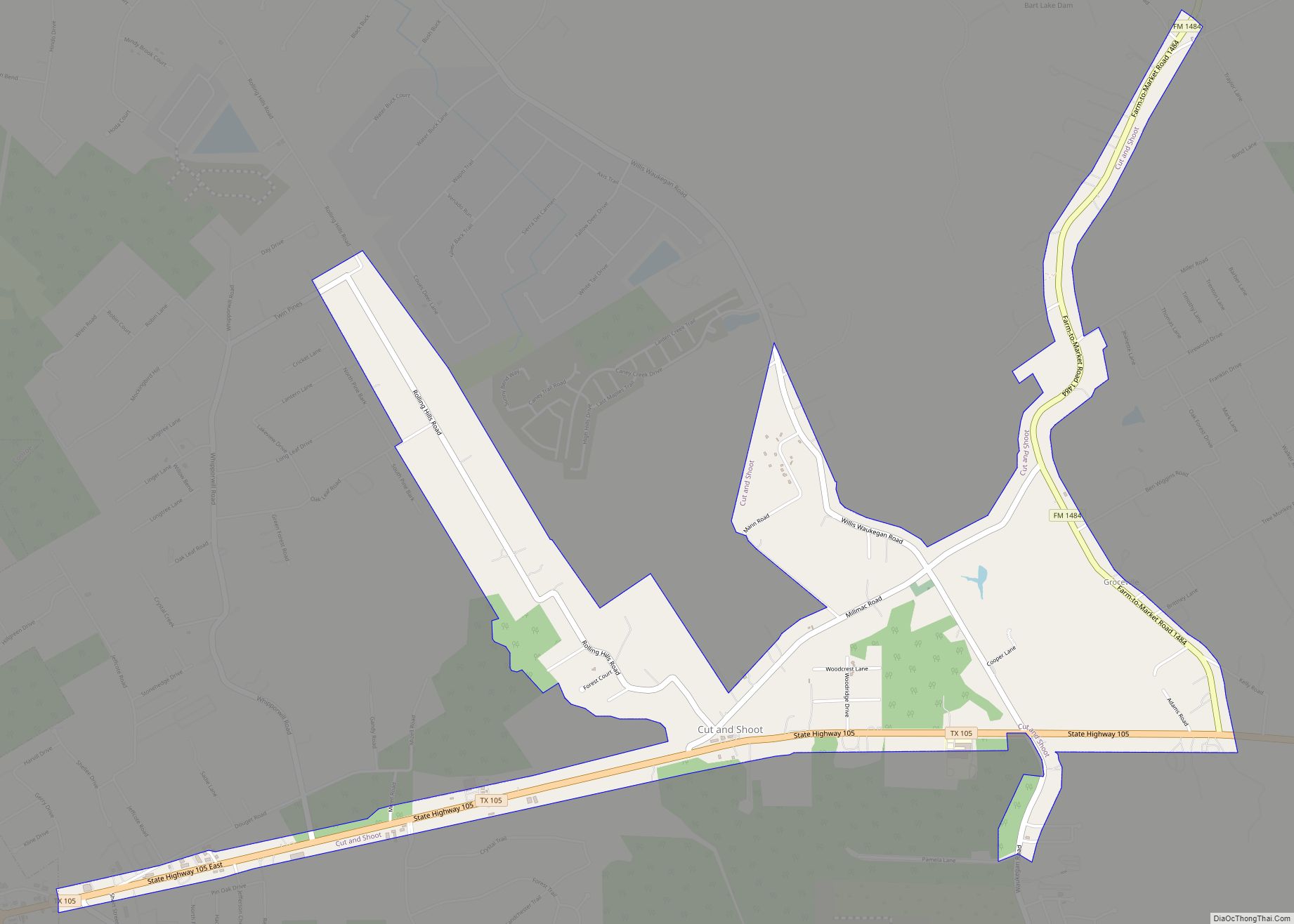
Cut and Shoot is a city in eastern Montgomery County, Texas, United States, about 6 mi (9.7 km) east of Conroe and 40 mi (64 km) north of Houston. Until 2006, Cut and Shoot was considered and called a town. Then, the town council elected for it to be considered and referred to as a city. The population was ... Read more
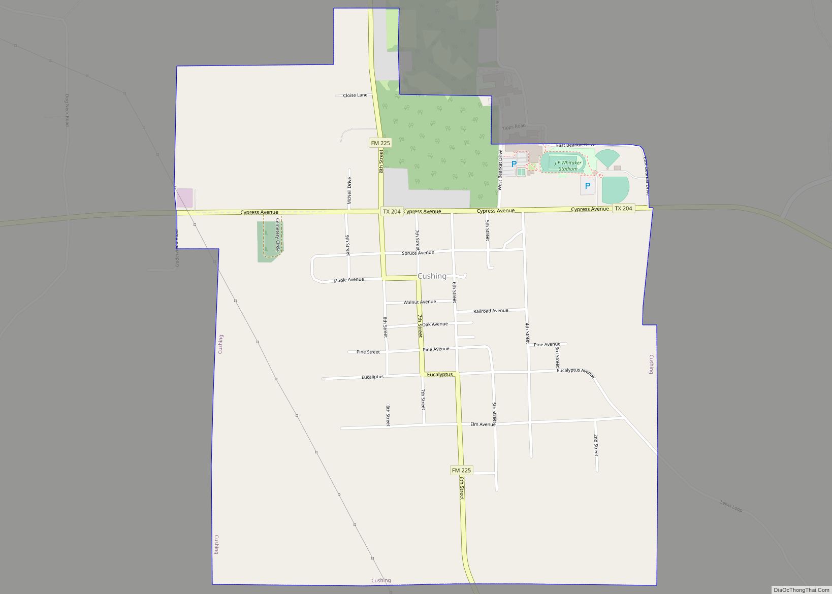
Cushing is a city in Nacogdoches County, Texas, United States. The population was 612 at the 2010 census. Cushing city overview: Name: Cushing city LSAD Code: 25 LSAD Description: city (suffix) State: Texas County: Nacogdoches County Elevation: 410 ft (120 m) Total Area: 1.38 sq mi (3.56 km²) Land Area: 1.37 sq mi (3.55 km²) Water Area: 0.00 sq mi (0.00 km²) Total Population: 612 Population ... Read more
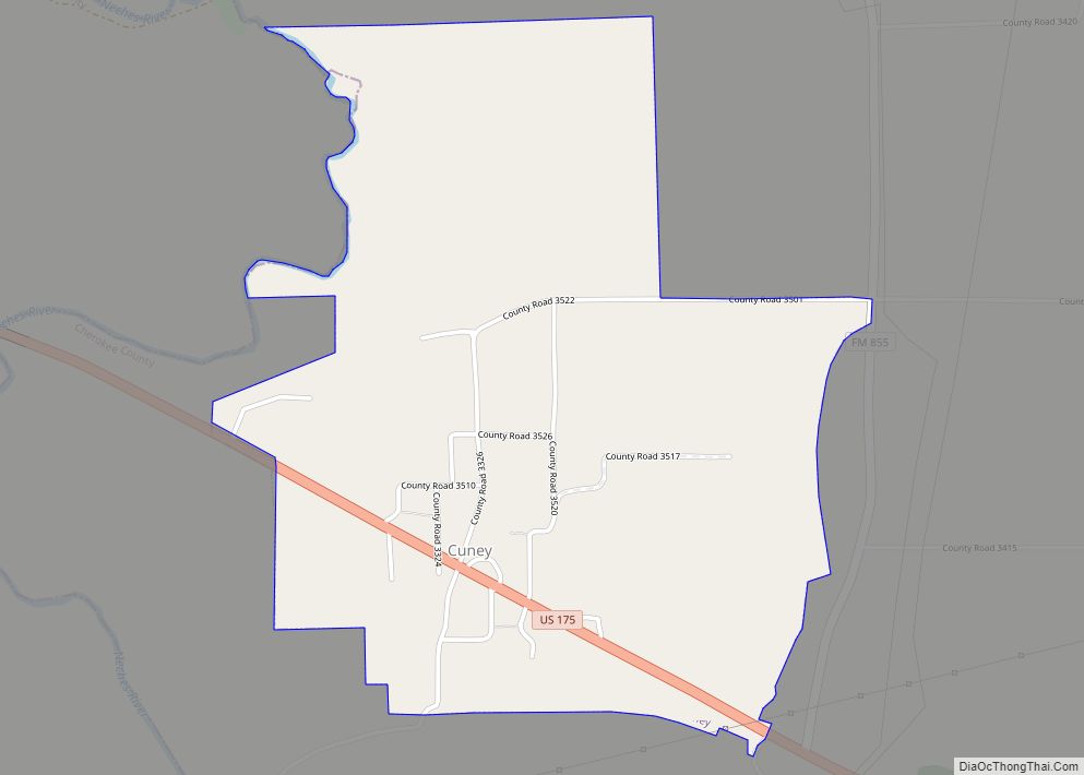
Cuney is a town located in northwest Cherokee County, Texas, United States. With a population of 116 at the 2020 U.S. census, Cuney was the only “wet” town in Cherokee County from the mid-1980s until 2009, when voters in Rusk came out in favor of beer/wine sales. After that result, voters in Jacksonville and Frankston ... Read more
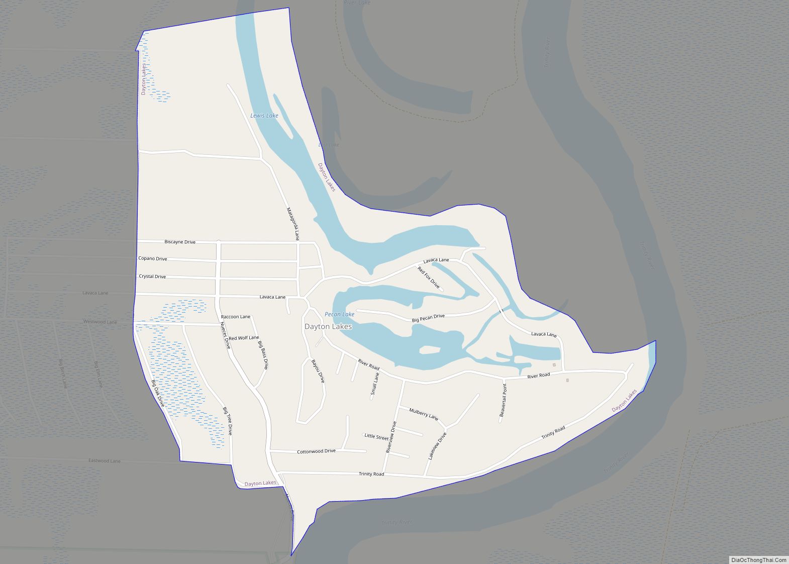
Dayton Lakes is a city in Liberty County, Texas, United States. The population was 93 at the 2010 census. Prior to 1985 Dayton Lakes city was a developed and marketed recreational subdivision named Dayton Lake Estates. In January 1985 the corporation that marketed the original subdivision held and election of residents and when the election ... Read more
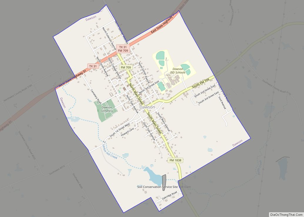
Dawson is a town in Navarro County, in the U.S. state of Texas. The population was 807 at the 2010 census. Dawson town overview: Name: Dawson town LSAD Code: 43 LSAD Description: town (suffix) State: Texas County: Navarro County Elevation: 482 ft (147 m) Total Area: 1.80 sq mi (4.67 km²) Land Area: 1.78 sq mi (4.62 km²) Water Area: 0.02 sq mi (0.04 km²) Total ... Read more
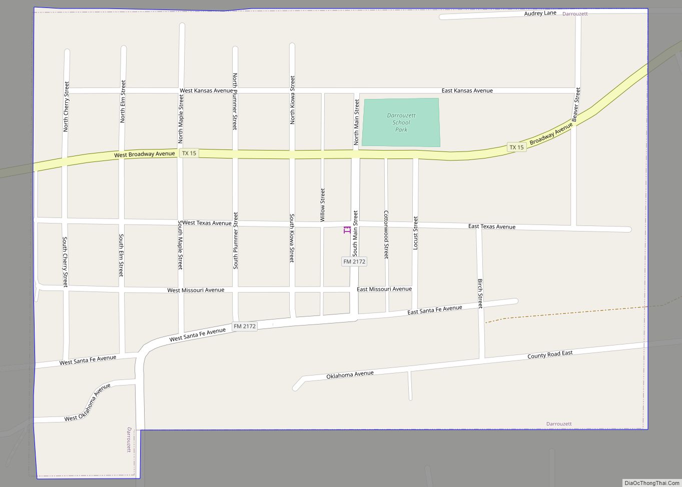
Darrouzett (/ˌdærəˈzɛt/ DARR-ə-ZET) is a town in Lipscomb County, Texas, United States. The population was 350 at the 2010 census, up from 303 at the 2000 census. The town is named for John Louis Darrouzet, a Texas state legislator who served as an attorney for the Santa Fe Railroad. Darrouzett town overview: Name: Darrouzett town ... Read more
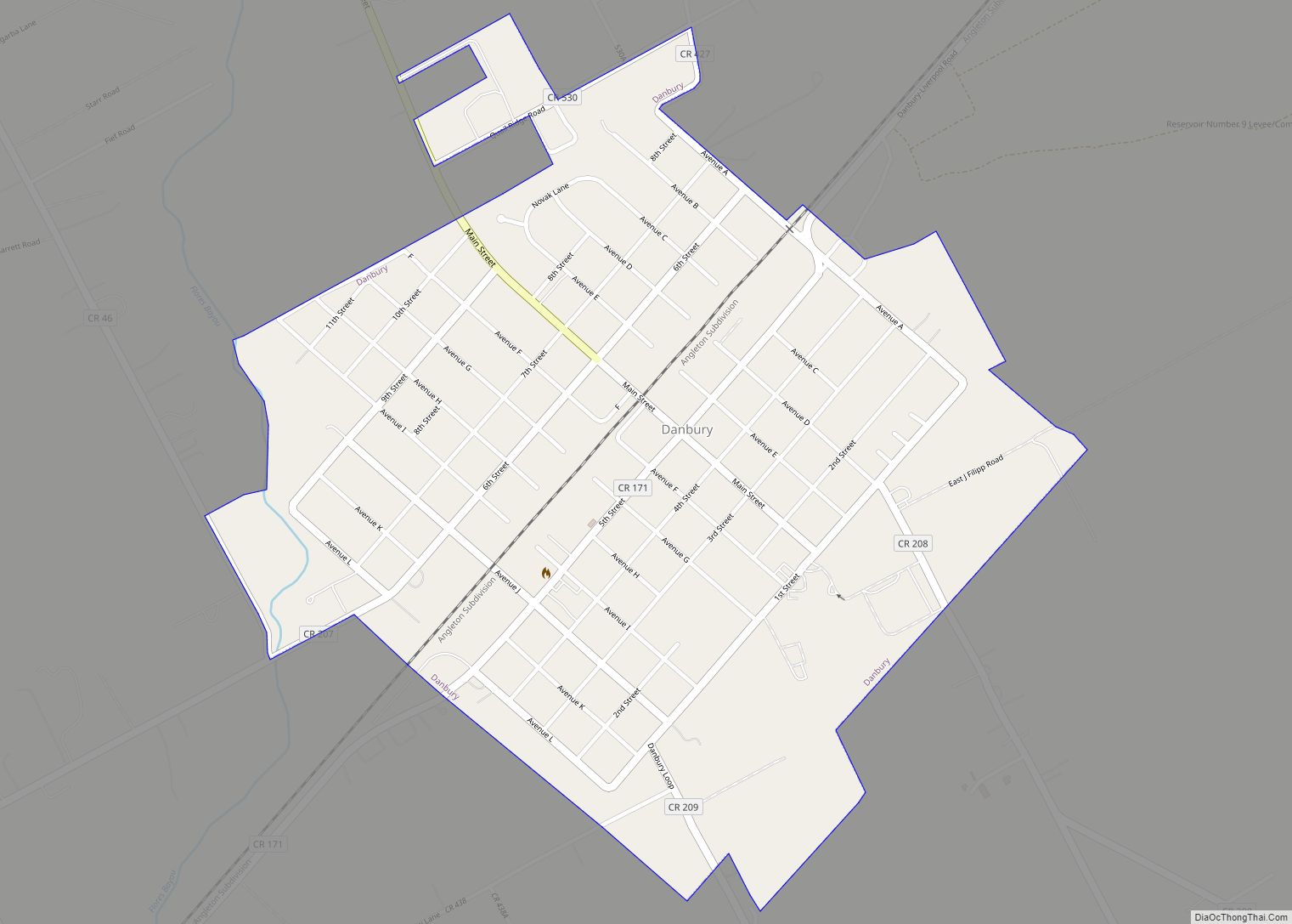
Danbury is a city in Brazoria County, Texas, United States. It is located northeast of Angleton along the Union Pacific Railroad and County Road 171. The city boasts its own school district. The population was 1,671 at the 2020 census. Danbury city overview: Name: Danbury city LSAD Code: 25 LSAD Description: city (suffix) State: Texas ... Read more
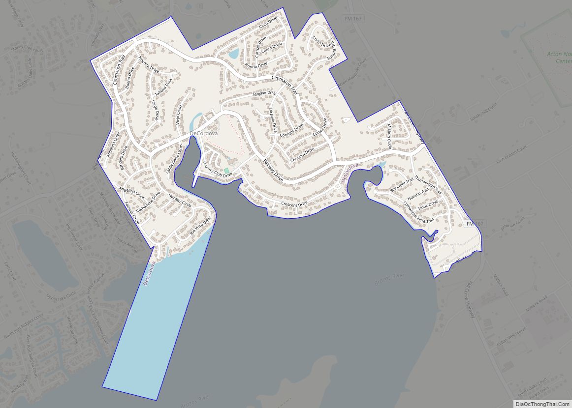
DeCordova is a city in Hood County, Texas, United States. As of the US 2018 Population estimates it has a population of 3169. It is a gated residential community located on Lake Granbury, 6 miles (10 km) east-southeast of Granbury, and is part of the Granbury, Texas Micropolitan Statistical Area. DeCordova city overview: Name: DeCordova city ... Read more
Decatur is the county seat of Wise County, Texas, United States. Its population was 6,538 in 2020. Decatur city overview: Name: Decatur city LSAD Code: 25 LSAD Description: city (suffix) State: Texas County: Wise County Elevation: 1,102 ft (336 m) Total Area: 8.78 sq mi (22.75 km²) Land Area: 8.78 sq mi (22.75 km²) Water Area: 0.00 sq mi (0.00 km²) Total Population: 6,538 Population Density: ... Read more
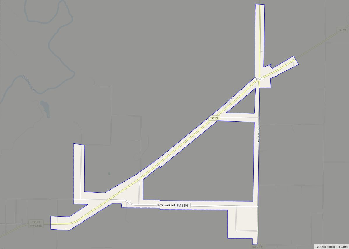
Dean is a city in Clay County, Texas, United States. It is part of the Wichita Falls, Texas Metropolitan Statistical Area. The population was 493 at the 2010 census. Dean city overview: Name: Dean city LSAD Code: 25 LSAD Description: city (suffix) State: Texas County: Clay County Elevation: 961 ft (293 m) Total Area: 2.14 sq mi (5.55 km²) Land ... Read more
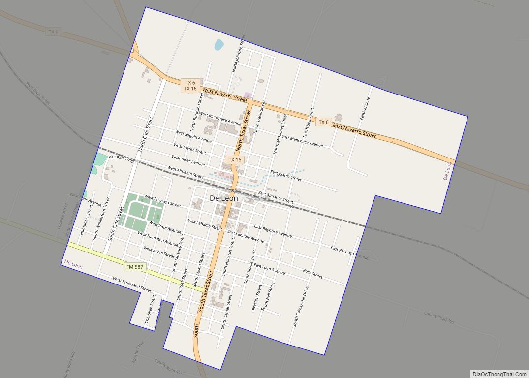
De Leon (/dɪ ˈliːɒn/ dih LEE-on) is a city located in Comanche County in the U.S. state of Texas. Its population was 2,246 in the 2022 census. It is commonly associated with being named after the Spanish explorer Ponce de León, but the town is actually named for its location on the Leon River (de ... Read more
