Map of Fairfield city, Texas

Map of Fairfield city, Texas

Fairfield is a city in Freestone County, Texas, United States. The population was 2,850 at the 2020 census, down from 3,094 at the 2000 census. It is the county seat of Freestone County and was founded as such in 1851. Fairfield city overview: Name: Fairfield city LSAD Code: 25 LSAD Description: city (suffix) State: Texas … Read more

Map of Fairchilds village

Map of Fairchilds village

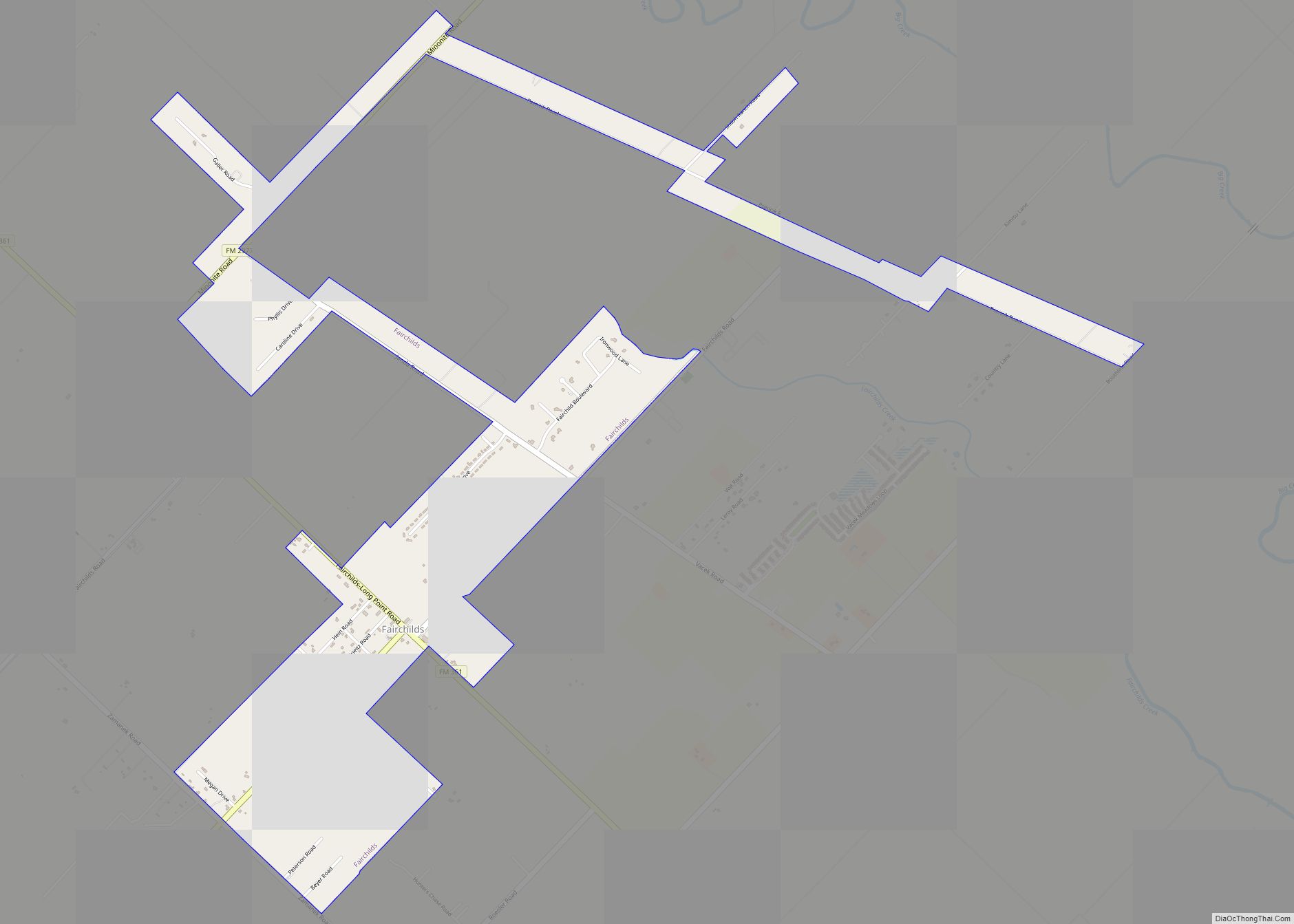
Fairchilds is a village in Fort Bend County, Texas, United States, within the Houston–Sugar Land–Baytown metropolitan area. The population was 763 at the 2010 census, up from 678 at the 2000 census. As of 2018 the population had risen to an estimated 1,224. The center of Fairchilds is located 4 miles (6 km) northeast of Needville at … Read more

Map of Fair Oaks Ranch city

Map of Fair Oaks Ranch city

Fair Oaks Ranch is a city in Bexar, Comal, and Kendall counties in the U.S. state of Texas. The population was 5,986 at the 2010 census and an estimated 9,700 in 2018. It is part of the San Antonio-New Braunfels Metropolitan Statistical Area. The city was named after Ralph Fair Sr, an oilman who had … Read more

Map of Fabrica CDP

Map of Fabrica CDP

Fabrica is an unincorporated community and census-designated place in Maverick County, Texas, United States. Its population was 923 as of the 2010 census. U.S. Route 277 passes through the community. Fabrica CDP overview: Name: Fabrica CDP LSAD Code: 57 LSAD Description: CDP (suffix) State: Texas County: Maverick County Elevation: 719 ft (219 m) Total Area: 0.310 sq mi (0.80 km²) … Read more

Map of Falman CDP

Map of Falman CDP

Falman is a census-designated place (CDP) in San Patricio County, Texas, United States. The population was 76 at the 2010 census. Prior to the 2010 census Falman was part of the Falman-County Acres CDP. Falman CDP overview: Name: Falman CDP LSAD Code: 57 LSAD Description: CDP (suffix) State: Texas County: San Patricio County Total Area: … Read more

Map of Falls City, Texas

Map of Falls City, Texas

Falls City is a city in Karnes County, Texas, United States. The population was 514 at the 2020 census. Falls City is near the location of a uranium tailings disposal cell, completed in 1994 under the terms of the 1978 Uranium Mill Tailings Radiation Control Act. The early settlers, predominantly Polish Catholics, founded the Holy … Read more

Map of Falfurrias city

Map of Falfurrias city

Falfurrias (/fælˈfjʊəriəs/ fal-FYOOR-ee-əs) is a city in and the county seat of Brooks County, Texas. Its population was 4,981 at the 2010 census, in a county that in the same census was just over 7,000. The town is named for founder Edward Cunningham Lasater’s ranch, La Mota de Falfurrias. In 1893, the Falfurrias ranch was … Read more

Map of Faysville CDP

Map of Faysville CDP

Faysville CDP overview: Name: Faysville CDP LSAD Code: 57 LSAD Description: CDP (suffix) State: Texas County: Hidalgo County FIPS code: 4825656 Online Interactive Map Faysville online map. Source: Basemap layers from Google Map, Open Street Map (OSM), Arcgisonline, Wmflabs. Boundary Data from Database of Global Administrative Areas. Faysville location map. Where is Faysville CDP? Faysville … Read more

Map of Fayetteville city, Texas

Map of Fayetteville city, Texas

Fayetteville is a city in Fayette County, Texas. The population was 246 at the 2020 census. Fayetteville city overview: Name: Fayetteville city LSAD Code: 25 LSAD Description: city (suffix) State: Texas County: Fayette County Elevation: 394 ft (120 m) Total Area: 0.50 sq mi (1.30 km²) Land Area: 0.50 sq mi (1.30 km²) Water Area: 0.00 sq mi (0.00 km²) Total Population: 258 Population Density: 511.95/sq mi … Read more

Map of Fate city

Map of Fate city

Fate is a city located in the center of Rockwall County, Texas. The population in 2020 was 17,958 up from 6,357 in 2010, and 602 in 2000. Fate city overview: Name: Fate city LSAD Code: 25 LSAD Description: city (suffix) State: Texas County: Rockwall County Elevation: 584 ft (178 m) Total Area: 12.02 sq mi (31.13 km²) Land Area: 11.85 sq mi … Read more

Map of Farwell city, Texas

Map of Farwell city, Texas

Farwell is a city in and the county seat of Parmer County, Texas, United States. Its population was 1,363 at the 2010 census. The city is located on the Texas-New Mexico border with the city of Texico, New Mexico across the border. Farwell city overview: Name: Farwell city LSAD Code: 25 LSAD Description: city (suffix) … Read more

Map of Farmersville city, Texas

Map of Farmersville city, Texas

Farmersville is a city in Collin County, Texas (as well as a small portion in Hunt County, Texas), United States. The population was 3,612 at the 2020 census. Farmersville city overview: Name: Farmersville city LSAD Code: 25 LSAD Description: city (suffix) State: Texas County: Collin County Elevation: 653 ft (199 m) Total Area: 4.27 sq mi (11.07 km²) Land Area: … Read more