Alpine (/ˈælpaɪn/ AL-pyne) is a city and the county seat of Brewster County, Texas, United States. The population was 5,905 at the 2010 census. The town has an elevation of 4,475 feet (1,364 m), and the surrounding mountain peaks are over 1 mile (1.6 km) above sea level. The university, hospital, library, and retail make Alpine the ... Read more
Texas Cities and Places
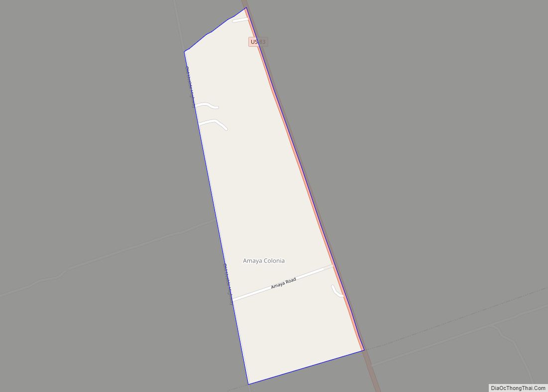
Amaya is a census-designated place (CDP) in Zavala County, Texas, United States. This was a new CDP formed from parts of the former Las Colonias CDP prior to the 2010 census with a population of 93. Amaya CDP overview: Name: Amaya CDP LSAD Code: 57 LSAD Description: CDP (suffix) State: Texas County: Zavala County Total ... Read more
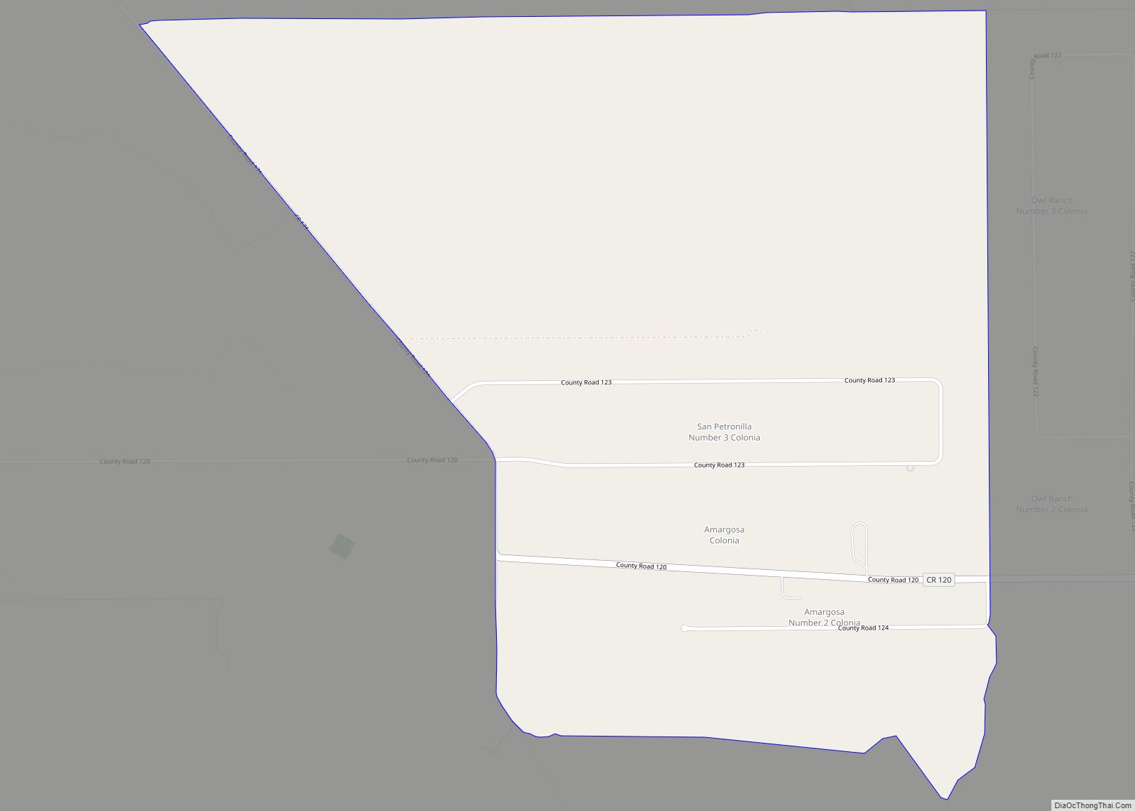
Amargosa is an unincorporated community and census-designated place in Jim Wells County, Texas, United States. Its population was 291 at the 2010 census. Prior to 2010, the community was grouped with nearby Owl Ranch as part of the Owl Ranch-Amargosa census-designated place. The community is named for the Amargosa Creek that runs nearby. The word ... Read more
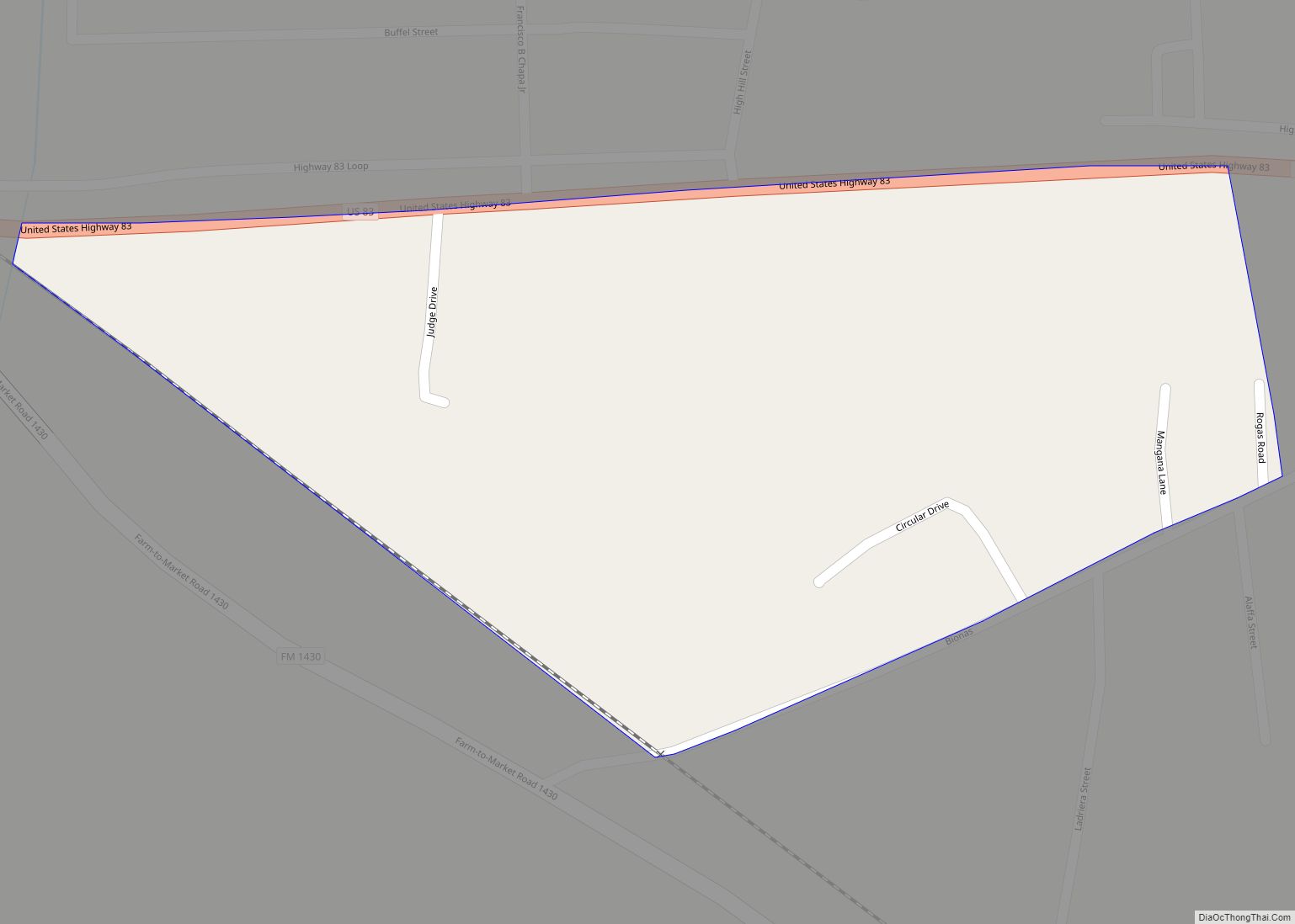
Amada Acres is a census-designated place (CDP) in Starr County, Texas, United States. It is a new CDP formed from part of the former La Casita-Garciasville CDP prior to the 2010 census with a population of 92. Amada Acres CDP overview: Name: Amada Acres CDP LSAD Code: 57 LSAD Description: CDP (suffix) State: Texas County: ... Read more
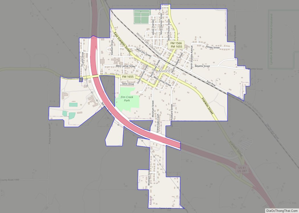
Alvord is a town in Wise County, Texas, United States. The population was 1,351 in 2020. Originally known as Nina, Alvord adopted its present name in 1882 in honor of the president of the Fort Worth and Denver Railway. There is no connection with the Arizona bandit Burt Alvord. A post office was established in ... Read more
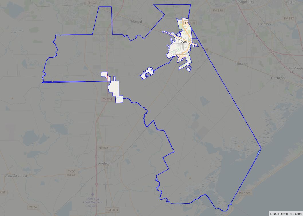
Alvin is a city in the U.S. state of Texas within the Houston-The Woodlands-Sugar Land metropolitan area and Brazoria County. As of the 2020 U.S. Census, the city population was 27,098. Alvin’s claim to fame is Baseball Hall of Famer Nolan Ryan, who moved with his family to the city in 1947 as an infant ... Read more
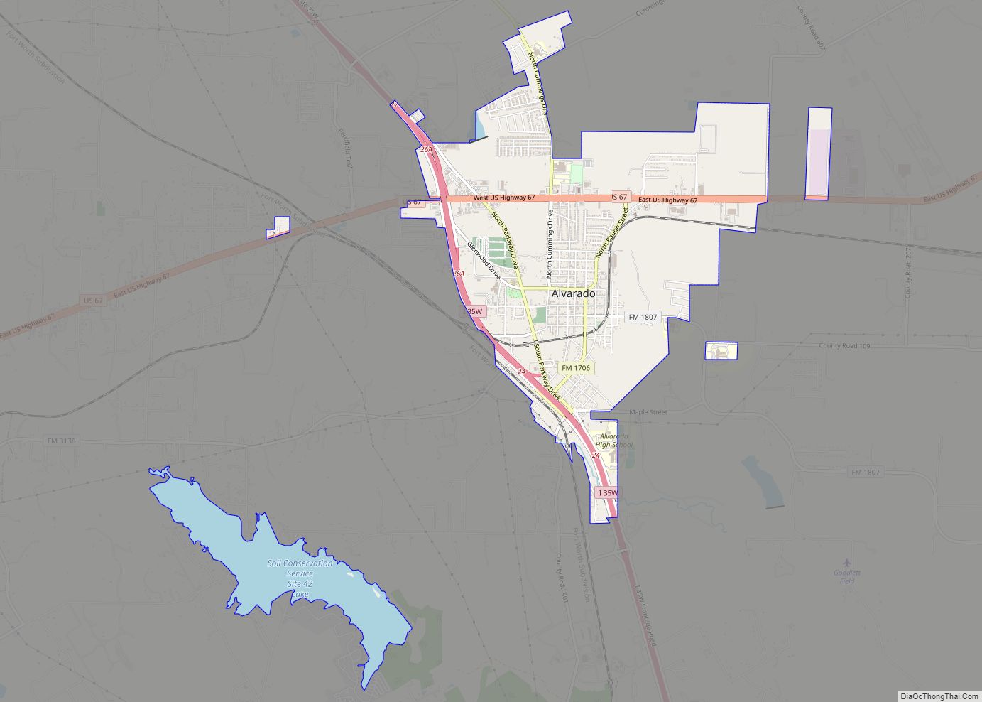
Alvarado (/ˌælvəˈreɪdoʊ/ AL-və-RAY-doh) is the oldest city in Johnson County, Texas. The population was 3,785 as of the 2010 census, up from 3,288 at the 2000 census. Alvarado city overview: Name: Alvarado city LSAD Code: 25 LSAD Description: city (suffix) State: Texas County: Johnson County Elevation: 764 ft (233 m) Total Area: 4.89 sq mi (12.68 km²) Land Area: 4.15 sq mi ... Read more
Alton is a city in Hidalgo County, Texas, United States. The population was 12,298 at the 2010 census and an estimated 19,509 in 2020. Alton city overview: Name: Alton city LSAD Code: 25 LSAD Description: city (suffix) State: Texas County: Hidalgo County Incorporated: 1978 Elevation: 161 ft (49 m) Total Area: 7.31 sq mi (18.94 km²) Land Area: 7.31 sq mi (18.93 km²) ... Read more
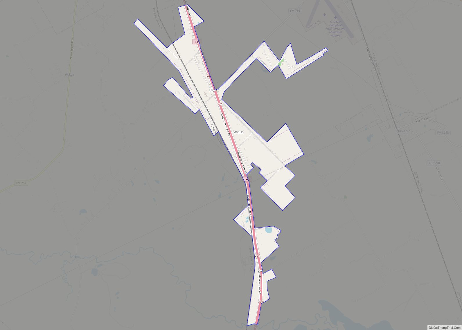
Angus is a city in Navarro County, Texas, United States. The population was 414 at the 2010 census. Angus city overview: Name: Angus city LSAD Code: 25 LSAD Description: city (suffix) State: Texas County: Navarro County Elevation: 436 ft (133 m) Total Area: 3.30 sq mi (8.54 km²) Land Area: 3.29 sq mi (8.52 km²) Water Area: 0.01 sq mi (0.02 km²) Total Population: 414 Population ... Read more
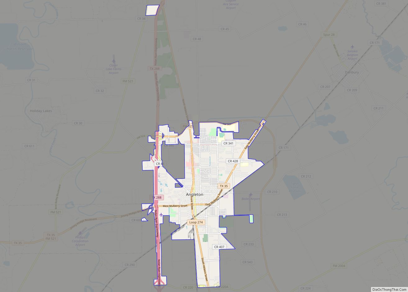
Angleton is a city in and the county seat of Brazoria County, Texas, United States, within the Houston–The Woodlands–Sugar Land metropolitan area. Angleton lies at the intersection of State Highway 288, State Highway 35, and the Union Pacific Railroad. The population was 19,429 at the 2020 census. Angleton is in the 14th congressional district, and ... Read more
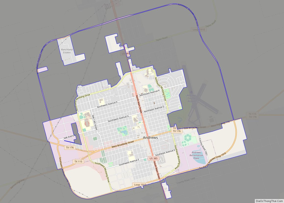
Andrews is the county seat of Andrews County in the Permian Basin of West Texas. Andrews sits to the far southwest within the Texas Panhandle’s plains, about 30 miles east of New Mexico. Andrews was incorporated on February 2, 1937. Both the city and county were named for Richard Andrews, the first Texan soldier to ... Read more
Anderson is a city and county seat of Grimes County, Texas, United States. The population was 193 as of the 2020 census. The town and its surroundings are listed on the National Register of Historic Places as the Anderson Historic District. The town is named for Kenneth Lewis Anderson, a vice-president of the Republic of ... Read more

