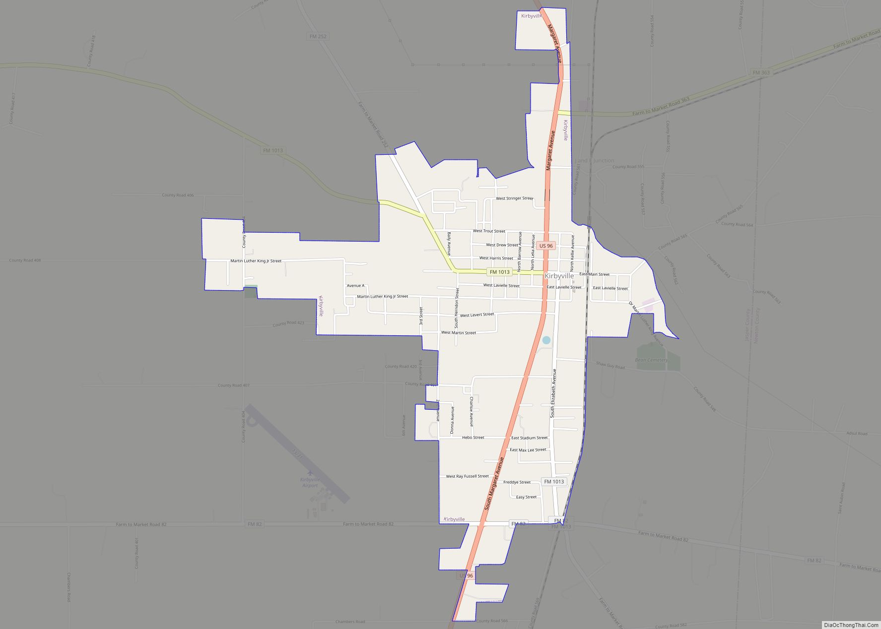
Kirbyville is a city in Jasper County, Texas, United States. The population was 2,036 at the 2020 census. Kirbyville city overview: Name: Kirbyville city LSAD Code: 25 LSAD Description: city (suffix) State: Texas County: Jasper County Elevation: 112 ft (34 m) Total Area: 2.43 sq mi (6.28 km²) Land Area: 2.42 sq mi (6.26 km²) Water Area: 0.01 sq mi (0.02 km²) Total Population: 2,036 Population ... Read more
Texas Cities and Places
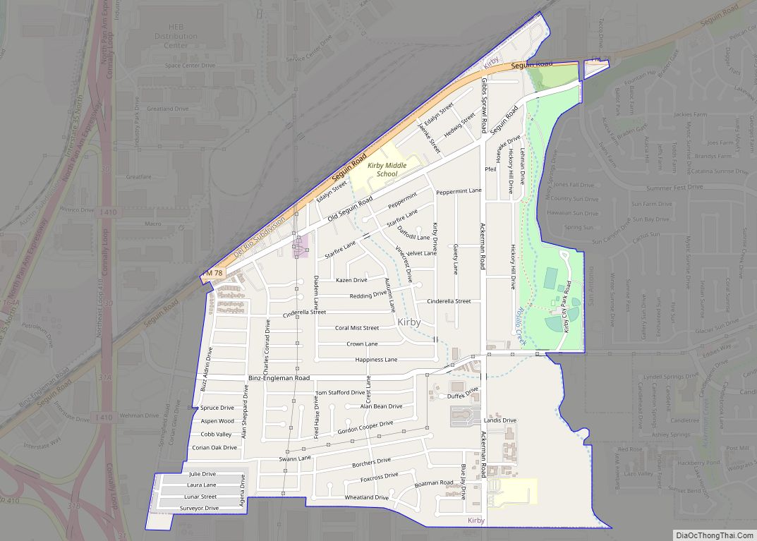
Kirby is a city in Bexar County, Texas, United States. It is an enclave of San Antonio and is part of the San Antonio metropolitan statistical area. Founded as an agricultural settlement along the Southern Pacific railroad, the city was transformed into a suburban community upon its incorporation in 1955. It is known as the ... Read more
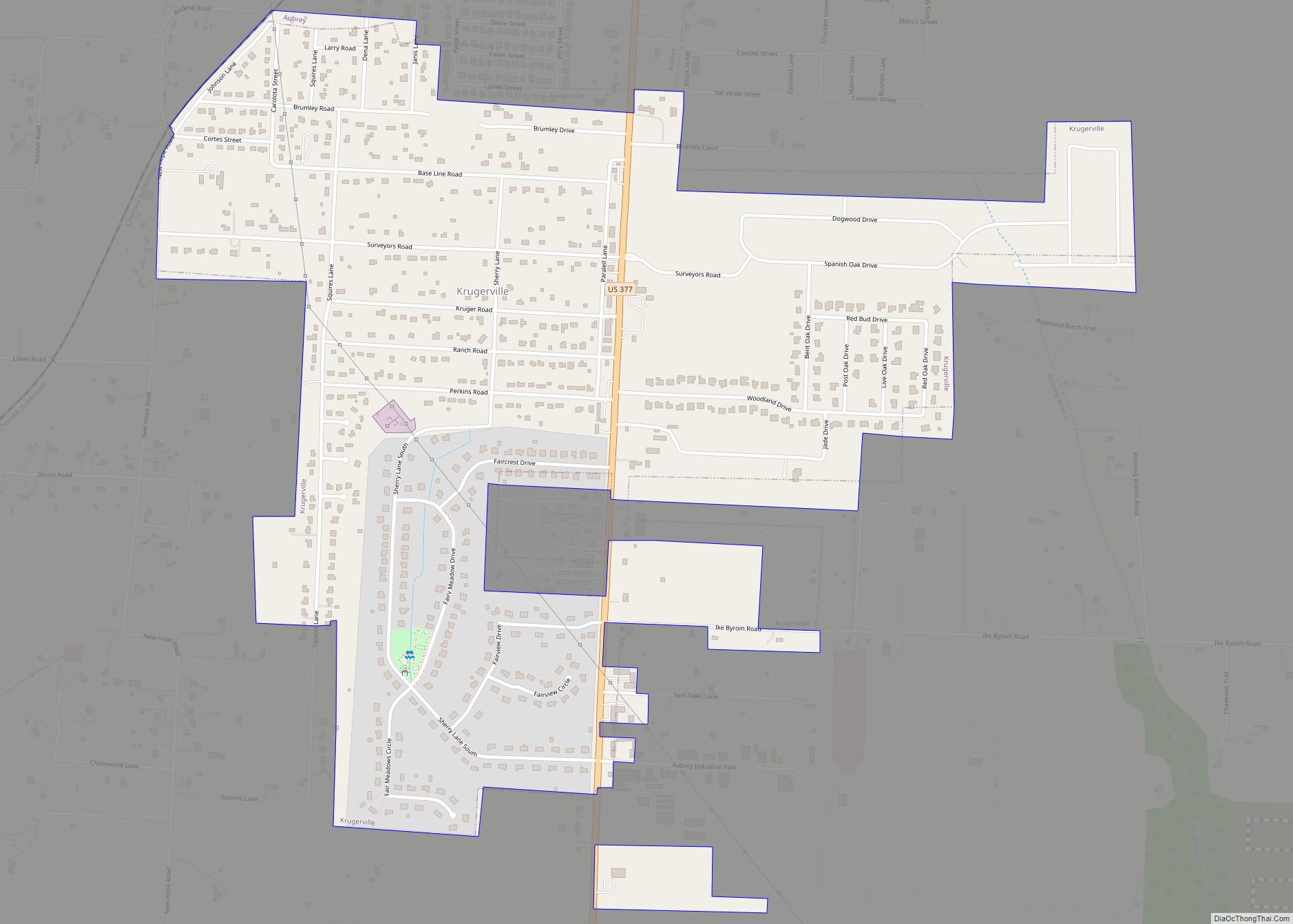
Krugerville is a city in Denton County, Texas, United States. The population was 1,766 in 2020. Krugerville city overview: Name: Krugerville city LSAD Code: 25 LSAD Description: city (suffix) State: Texas County: Denton County Elevation: 686 ft (209 m) Total Area: 1.32 sq mi (3.42 km²) Land Area: 1.32 sq mi (3.42 km²) Water Area: 0.00 sq mi (0.00 km²) Total Population: 1,766 Population Density: 1,389.86/sq mi ... Read more
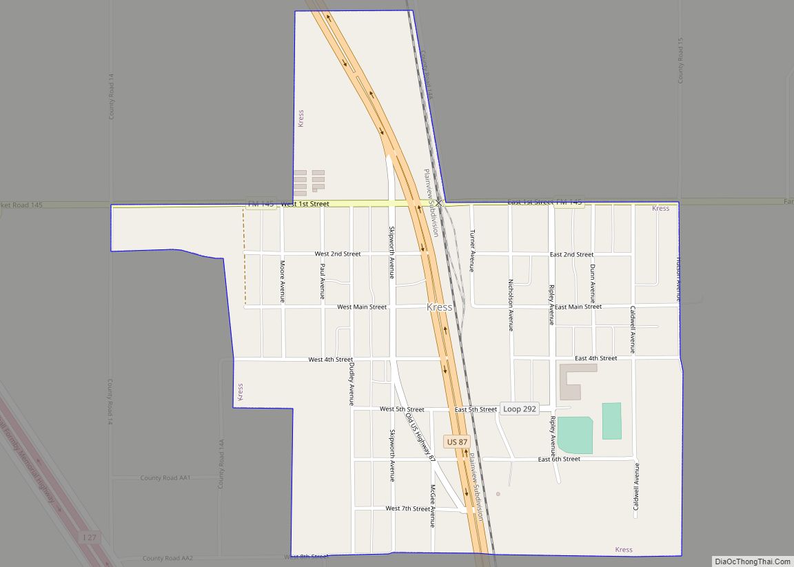
Kress is a city in Swisher County, Texas, United States. The population was 715 at the 2010 census. Kress city overview: Name: Kress city LSAD Code: 25 LSAD Description: city (suffix) State: Texas County: Swisher County Elevation: 3,471 ft (1,058 m) Total Area: 0.57 sq mi (1.48 km²) Land Area: 0.56 sq mi (1.44 km²) Water Area: 0.02 sq mi (0.04 km²) Total Population: 715 Population ... Read more
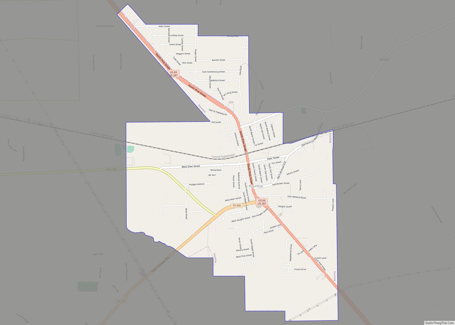
Kountze (/kuːnts/ koonts) is a city in and the county seat of Hardin County, Texas, United States. The population was 1,981 at the 2020 census. The city is part of the Beaumont–Port Arthur Metropolitan Statistical Area. Kountze was originally established as a railroad town in 1881. The city was named for Herman and Augustus Kountze, ... Read more
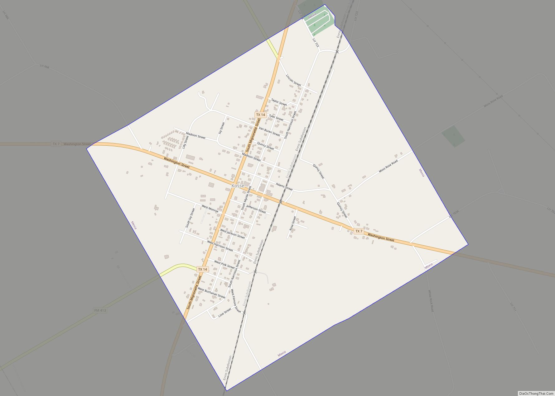
Kosse is a town in southern Limestone County, Texas, United States. The population was 464 at the 2010 census. Kosse calls itself “A Little Town with a Big Heart.” Kosse town overview: Name: Kosse town LSAD Code: 43 LSAD Description: town (suffix) State: Texas County: Limestone County Elevation: 499 ft (152 m) Total Area: 1.30 sq mi (3.37 km²) Land ... Read more
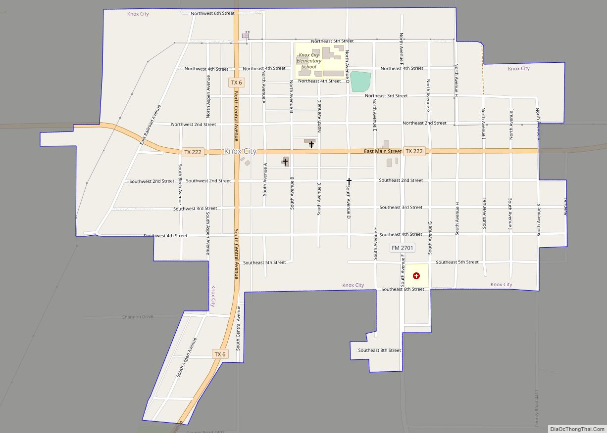
Knox City is a town in Knox County, Texas, United States. The population was 1,119 at the 2019 census. Knox City town overview: Name: Knox City town LSAD Code: 43 LSAD Description: town (suffix) State: Texas County: Knox County Elevation: 1,529 ft (466 m) Total Area: 0.83 sq mi (2.16 km²) Land Area: 0.83 sq mi (2.16 km²) Water Area: 0.00 sq mi (0.00 km²) Total ... Read more
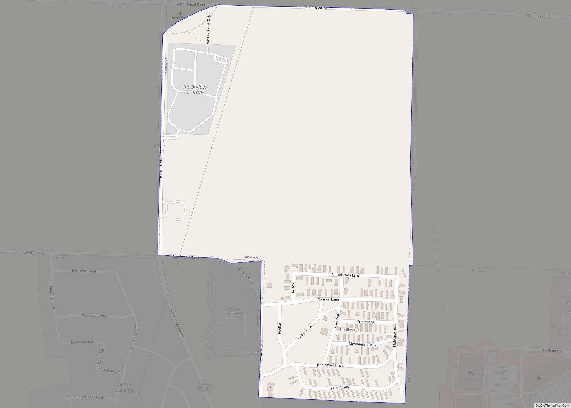
Knollwood is a city in Grayson County, Texas, United States. The population was 432 at the 2010 census. It is part of the Sherman–Denison metropolitan statistical area. Knollwood city overview: Name: Knollwood city LSAD Code: 25 LSAD Description: city (suffix) State: Texas County: Grayson County Elevation: 827 ft (252 m) Total Area: 0.33 sq mi (0.85 km²) Land Area: 0.33 sq mi ... Read more
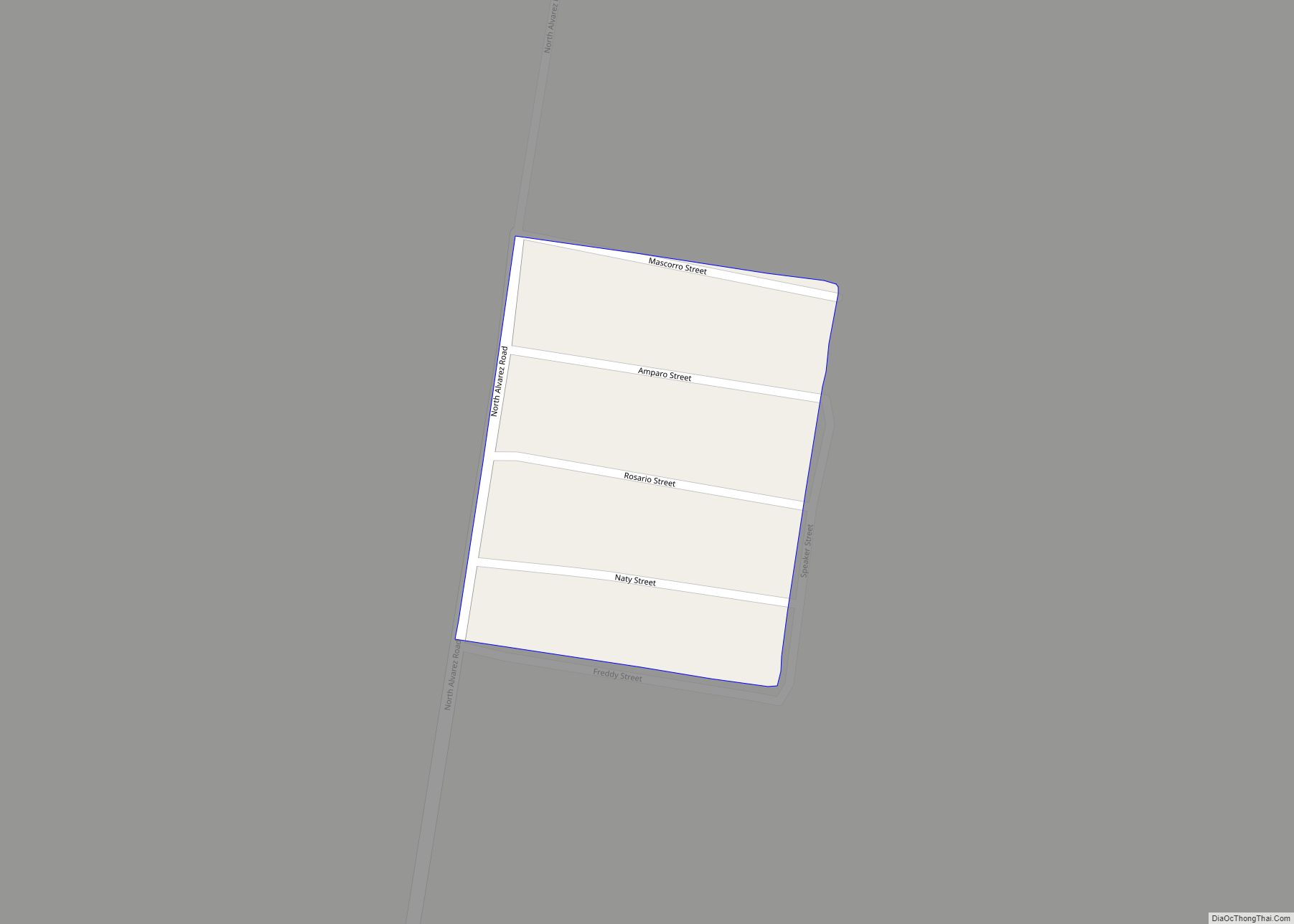
La Esperanza is a census-designated place (CDP) in Starr County, Texas, United States. It is a new CDP formed from part of the former Los Villareales CDP prior to the 2010 census with a population of 229. La Esperanza CDP overview: Name: La Esperanza CDP LSAD Code: 57 LSAD Description: CDP (suffix) State: Texas County: ... Read more
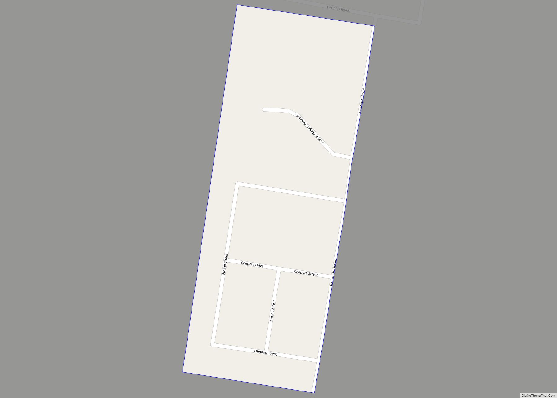
La Escondida is a census-designated place (CDP) in Starr County, Texas, United States. It is a new CDP formed from part of the former Los Villareales CDP prior to the 2010 census with a population of 153. La Escondida CDP overview: Name: La Escondida CDP LSAD Code: 57 LSAD Description: CDP (suffix) State: Texas County: ... Read more
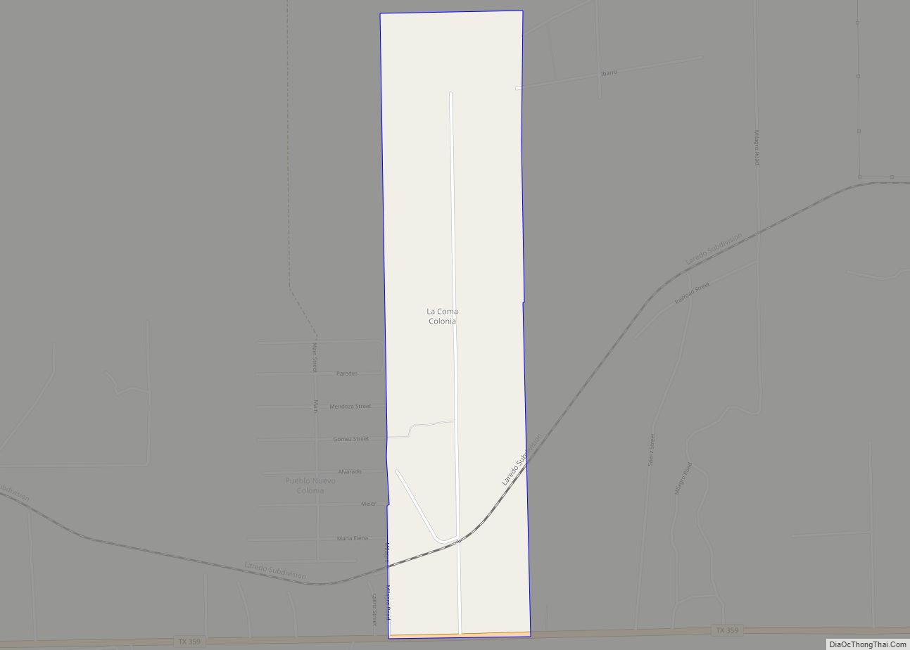
La Coma is a census-designated place (CDP) in Webb County, Texas, United States. This was a new CDP formed from parts of the Laredo Ranchettes CDP prior to the 2010 census with a population of 48. It is one of several colonias in the county. La Coma CDP overview: Name: La Coma CDP LSAD Code: ... Read more
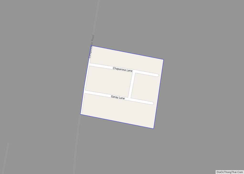
La Chuparosa is a census-designated place (CDP) in Starr County, Texas, United States. It is a new CDP formed from part of the La Rosita CDP prior to the 2010 census with a population of 49. La Chuparosa CDP overview: Name: La Chuparosa CDP LSAD Code: 57 LSAD Description: CDP (suffix) State: Texas County: Starr ... Read more
