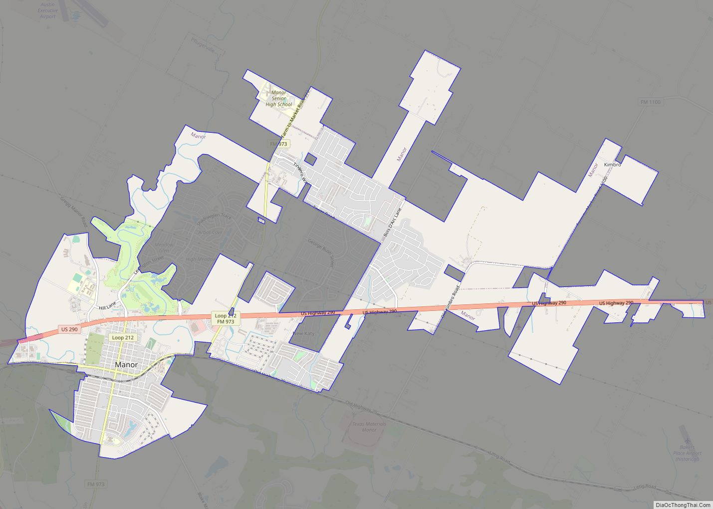
Manor (/ˈmeɪnər/ MAY-nər) is a city in Travis County, Texas, United States. Manor is located 12 miles northeast of Austin and is part of the Austin-Round Rock metropolitan area. The population was 13,652 at the 2020 census. Manor is one of the faster-growing suburbs of Austin. The city was the 7th fastest growing suburb in ... Read more
Texas Cities and Places
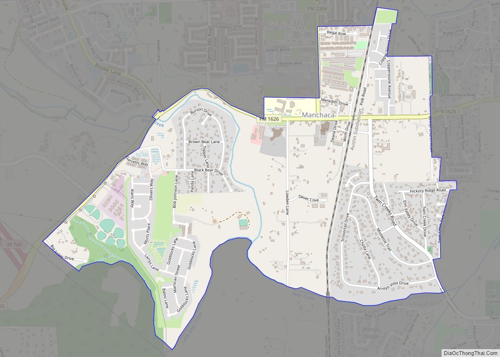
Manchaca (/ˈmænʃæk/ MAN-shak) is an unincorporated community and census-designated place (CDP) in Travis County, Texas, United States. It is located 10 miles (16 km) southwest of downtown Austin. This was a new CDP for the 2010 census with a population of 1,133. Manchaca CDP overview: Name: Manchaca CDP LSAD Code: 57 LSAD Description: CDP (suffix) State: ... Read more
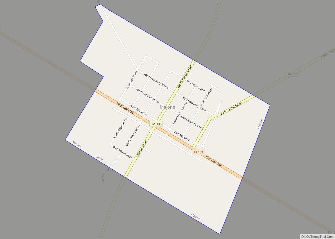
Malone is a town in Hill County, Texas, United States. The population was 269 at the 2010 census. Malone town overview: Name: Malone town LSAD Code: 43 LSAD Description: town (suffix) State: Texas County: Hill County Elevation: 479 ft (146 m) Total Area: 0.46 sq mi (1.19 km²) Land Area: 0.46 sq mi (1.18 km²) Water Area: 0.00 sq mi (0.01 km²) Total Population: 269 Population ... Read more
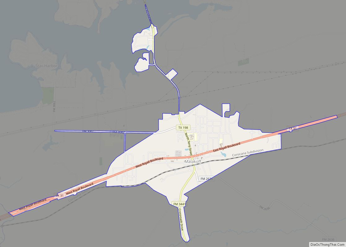
Malakoff is a city in Henderson County, Texas, United States. The population was 2,179 at the 2020 census. The city is named after a Russian fort of Malakoff (Malakhov kurgan), which played a pivotal role during the siege of Sevastopol during the Crimean War. Malakoff city overview: Name: Malakoff city LSAD Code: 25 LSAD Description: ... Read more
Magnolia is a city in southwestern Montgomery County, Texas, United States within the Houston–The Woodlands–Sugar Land metropolitan area. It is named for the magnolia trees that grow in the area. The population was 2,359 at the 2020 United States Census. Magnolia city overview: Name: Magnolia city LSAD Code: 25 LSAD Description: city (suffix) State: Texas ... Read more
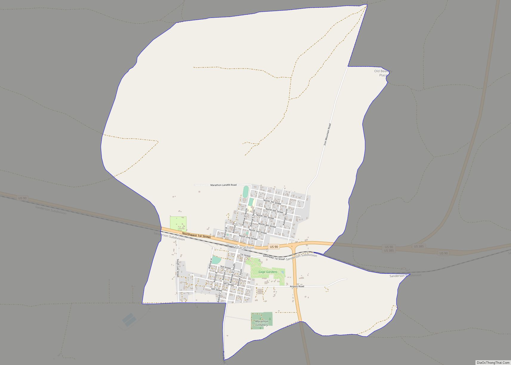
Marathon (/ˈmærəθən/) is a census-designated place (CDP) in Brewster County, Texas, United States. The population was 470 in 2007, after growing from 455 in 2000, but had decreased to 430 by 2010. As of 2012 Marathon services tourists traveling to Big Bend National Park. Marathon CDP overview: Name: Marathon CDP LSAD Code: 57 LSAD Description: ... Read more
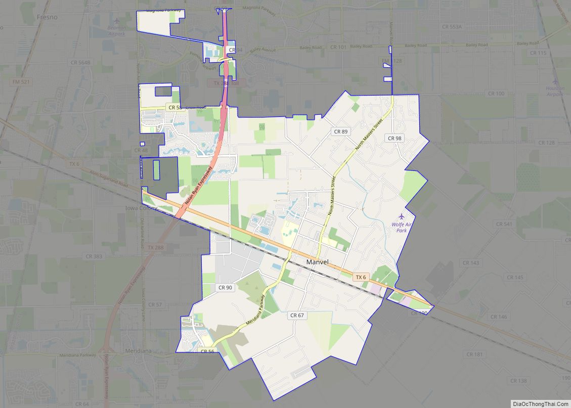
Manvel is a city in Brazoria County, Texas, United States. As of the 2020 census the population was 9,992, up from 5,179 at the 2010 census. Manvel city overview: Name: Manvel city LSAD Code: 25 LSAD Description: city (suffix) State: Texas County: Brazoria County Elevation: 52 ft (16 m) Total Area: 27.50 sq mi (71.22 km²) Land Area: 27.45 sq mi (71.09 km²) ... Read more
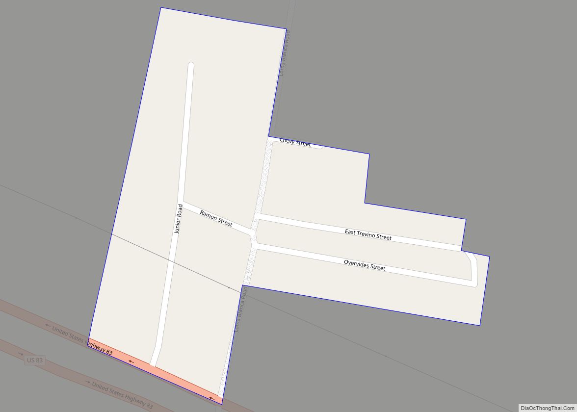
Manuel Garcia is a census-designated place (CDP) in Starr County, Texas, United States. It is a new CDP formed from part of the former La Casita-Garciasville CDP prior to the 2010 census with a population of 203. Manuel Garcia CDP overview: Name: Manuel Garcia CDP LSAD Code: 57 LSAD Description: CDP (suffix) State: Texas County: ... Read more
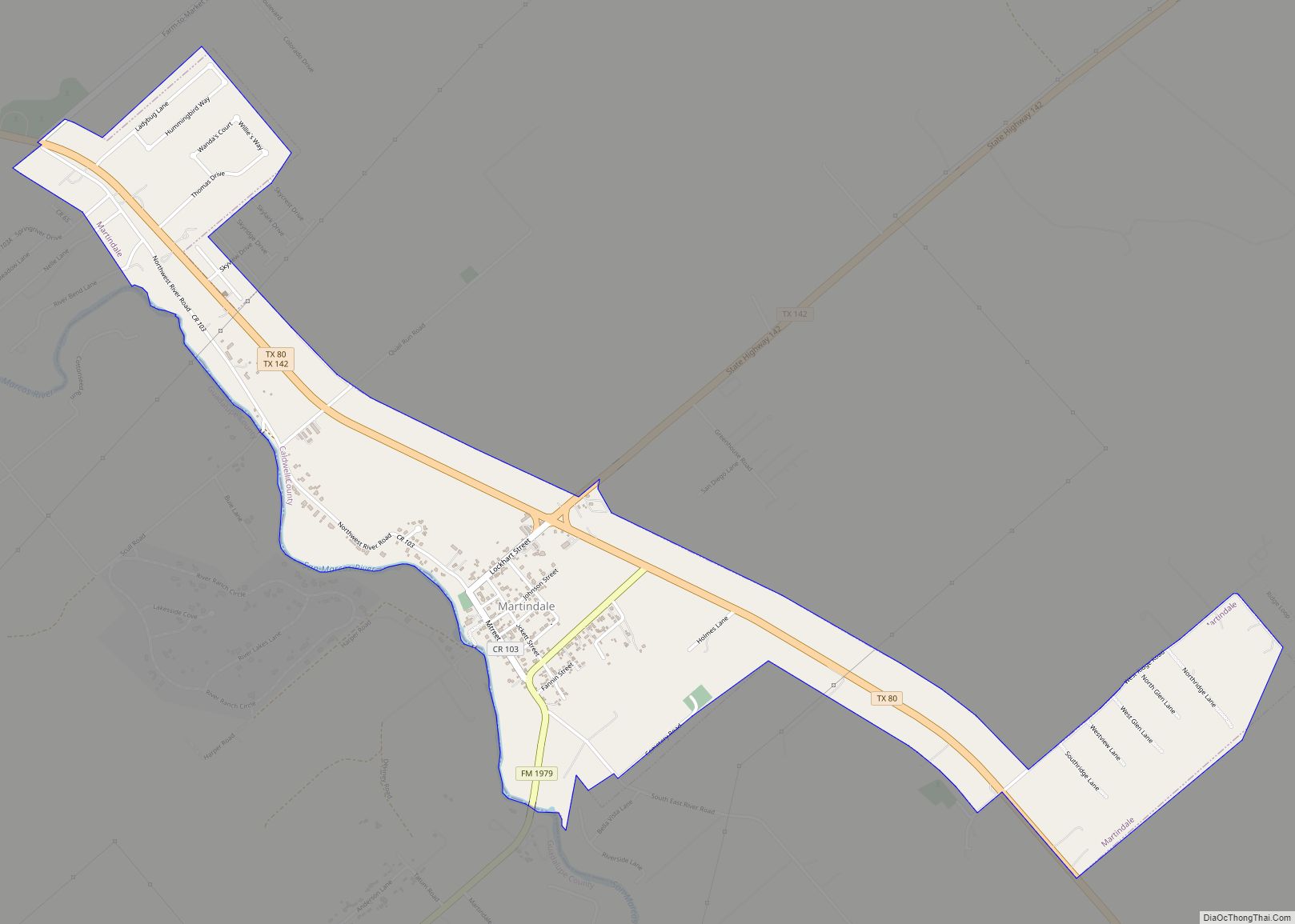
Martindale is a city in Caldwell County, Texas, United States. It is part of the Austin metropolitan area. The population was 1,253 at the 2020 census. The city hosts an egg hunt each Easter. Every Fourth of July, the town holds an Independence Parade leading to a town picnic at the oak-shaded river bottom. In ... Read more
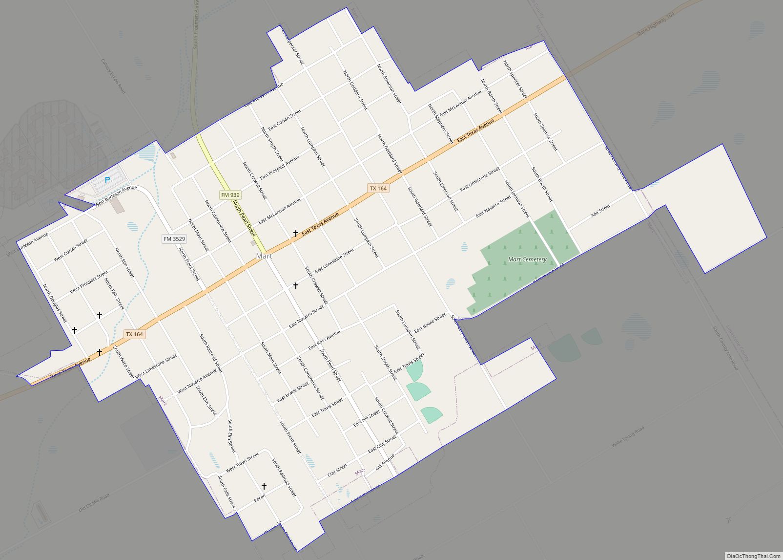
Mart is a city in Limestone and McLennan counties in the U.S. state of Texas. The population was 1,748 at the 2020 census. Mart city overview: Name: Mart city LSAD Code: 25 LSAD Description: city (suffix) State: Texas County: Limestone County, McLennan County Elevation: 525 ft (160 m) Total Area: 1.31 sq mi (3.40 km²) Land Area: 1.31 sq mi (3.40 km²) Water ... Read more
Marshall is a city in the U.S. state of Texas. It is the county seat of Harrison County and a cultural and educational center of the Ark-La-Tex region. At the 2020 U.S. census, the population of Marshall was 23,392; The population of the Greater Marshall area, comprising all of Harrison County, was 65,631 in 2010, ... Read more
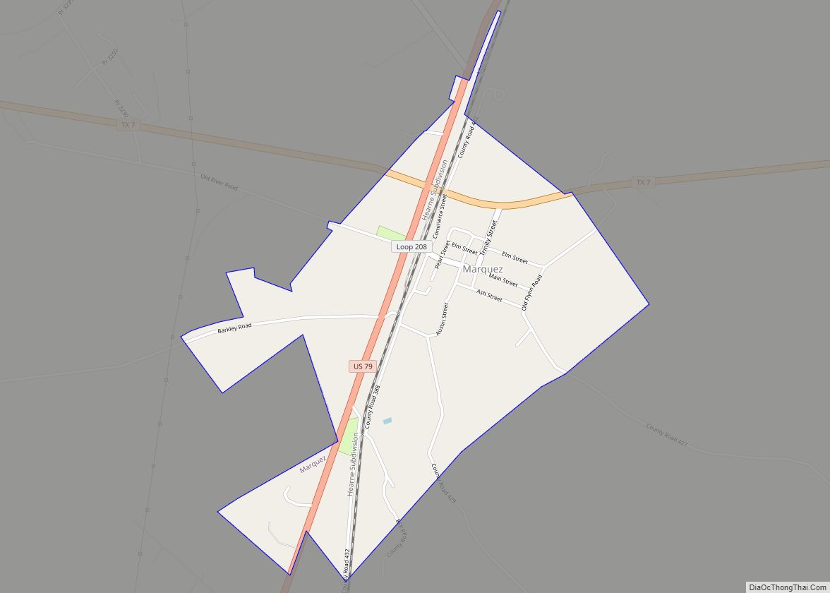
Marquez (/mɑːrˈkeɪ/ mar-KAY) is a city in Leon County, Texas, United States. The population was 263 at the 2010 census. Marquez city overview: Name: Marquez city LSAD Code: 25 LSAD Description: city (suffix) State: Texas County: Leon County Elevation: 407 ft (124 m) Total Area: 1.31 sq mi (3.40 km²) Land Area: 1.31 sq mi (3.40 km²) Water Area: 0.00 sq mi (0.00 km²) Total Population: ... Read more
