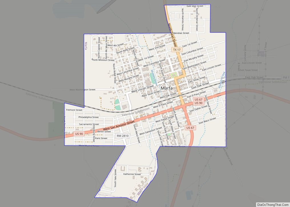
Marfa is a city in the high desert of the Trans-Pecos in far West Texas, between the Davis Mountains and Big Bend National Park. It is the county seat of Presidio County, and its population as of the 2010 United States Census was 1,981. The city was founded in the early 1880s as a water stop; the population increased during World War II, but growth has stalled and reversed somewhat since the late 20th century. Today, Marfa is a tourist destination and a major center for minimalist art. Attractions include Building 98, the Chinati Foundation, artisan shops, historical architecture, a classic Texas town square, modern art installments, art galleries, and the Marfa lights.
| Name: | Marfa city |
|---|---|
| LSAD Code: | 25 |
| LSAD Description: | city (suffix) |
| State: | Texas |
| County: | Presidio County |
| Elevation: | 4,685 ft (1,428 m) |
| Total Area: | 1.63 sq mi (4.22 km²) |
| Land Area: | 1.63 sq mi (4.22 km²) |
| Water Area: | 0.00 sq mi (0.00 km²) |
| Total Population: | 1,981 |
| Population Density: | 997.54/sq mi (385.07/km²) |
| ZIP code: | 79843 |
| Area code: | 432 |
| FIPS code: | 4846620 |
| GNISfeature ID: | 1340942 |
| Website: | cityofmarfa.com |
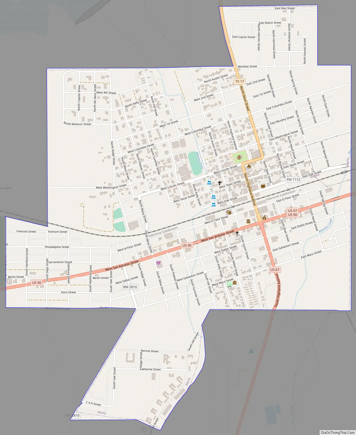
Online Interactive Map
Click on ![]() to view map in "full screen" mode.
to view map in "full screen" mode.
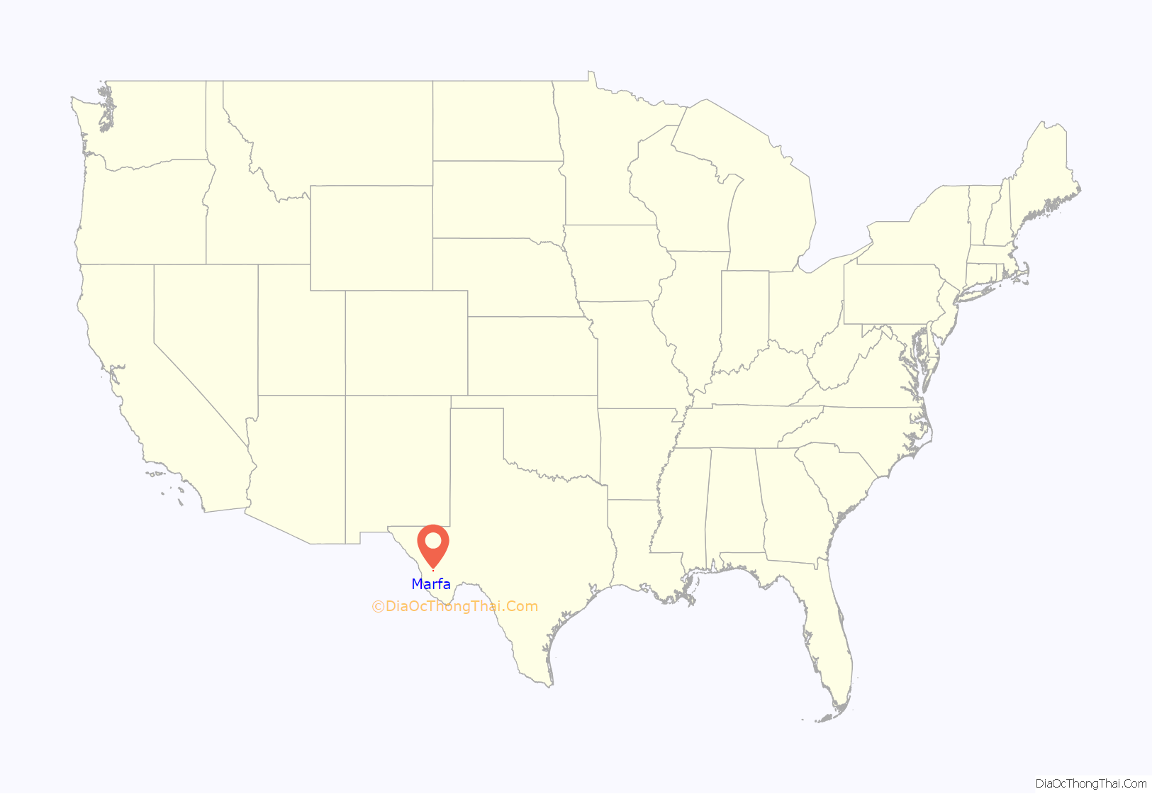
Marfa location map. Where is Marfa city?
History
Marfa was founded in the early 1880s as a railroad water stop. The town was named “Marfa” (Russian for “Martha”) at the suggestion of the wife of a railroad executive. Although some historians have hypothesized that the name came from a character in Fyodor Dostoevsky’s novel The Brothers Karamazov, Marfa was actually named after Marfa Strogoff, a character in Jules Verne’s novel Michael Strogoff. According to Sterry Butcher of the Texas Monthly, a writer researched the Karamazov story and deemed it false, but did not receive any letters to the editor after he submitted the story to the newspaper, and therefore “No one cared. The story we had suited Marfa just fine.”
Hispanic students attended the segregated Blackwell School from 1909 to 1965. The school was authorized to be a National Historic Site in 2022.
The town grew quickly during the 1920s.
The Marfa Army Air Field served as a training facility for several thousand pilots during World War II, including the American actor Robert Sterling, before closing in 1945. The base was also used as the training ground for many of the United States Army’s chemical mortar battalions.
Marfa later experienced economic issues after the war ended and after a water shortage damaged agricultural output. After Donald Judd arrived in 1973, he began buying properties and renovating them, which resulted in bohemian interest in the community. In 2012 Vanity Fair described it as a “playground” for “art-world pioneers and pilgrims”. Marfa is about 60 miles from the Mexico-U.S. border.
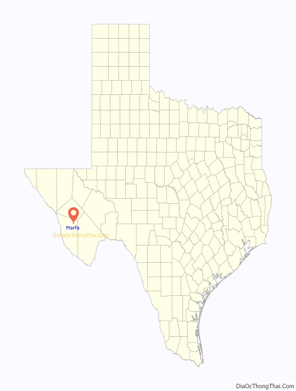
Marfa Road Map
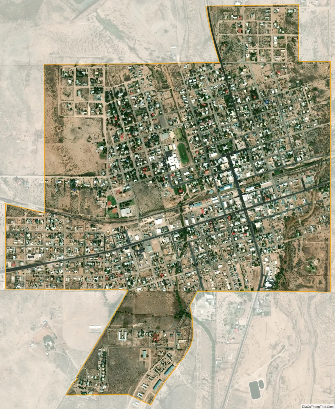
Marfa city Satellite Map
Geography
Marfa is in northeastern Presidio County within the Chihuahuan Desert. The town is about 20 miles south of Fort Davis on Texas Route 17 and about 18 miles west of Alpine on US Route 67. According to the United States Census Bureau, the town has a total area of 1.6 sq mi (4.1 km), all land.
See also
Map of Texas State and its subdivision:- Anderson
- Andrews
- Angelina
- Aransas
- Archer
- Armstrong
- Atascosa
- Austin
- Bailey
- Bandera
- Bastrop
- Baylor
- Bee
- Bell
- Bexar
- Blanco
- Borden
- Bosque
- Bowie
- Brazoria
- Brazos
- Brewster
- Briscoe
- Brooks
- Brown
- Burleson
- Burnet
- Caldwell
- Calhoun
- Callahan
- Cameron
- Camp
- Carson
- Cass
- Castro
- Chambers
- Cherokee
- Childress
- Clay
- Cochran
- Coke
- Coleman
- Collin
- Collingsworth
- Colorado
- Comal
- Comanche
- Concho
- Cooke
- Coryell
- Cottle
- Crane
- Crockett
- Crosby
- Culberson
- Dallam
- Dallas
- Dawson
- Deaf Smith
- Delta
- Denton
- Dewitt
- Dickens
- Dimmit
- Donley
- Duval
- Eastland
- Ector
- Edwards
- El Paso
- Ellis
- Erath
- Falls
- Fannin
- Fayette
- Fisher
- Floyd
- Foard
- Fort Bend
- Franklin
- Freestone
- Frio
- Gaines
- Galveston
- Garza
- Gillespie
- Glasscock
- Goliad
- Gonzales
- Gray
- Grayson
- Gregg
- Grimes
- Guadalupe
- Hale
- Hall
- Hamilton
- Hansford
- Hardeman
- Hardin
- Harris
- Harrison
- Hartley
- Haskell
- Hays
- Hemphill
- Henderson
- Hidalgo
- Hill
- Hockley
- Hood
- Hopkins
- Houston
- Howard
- Hudspeth
- Hunt
- Hutchinson
- Irion
- Jack
- Jackson
- Jasper
- Jeff Davis
- Jefferson
- Jim Hogg
- Jim Wells
- Johnson
- Jones
- Karnes
- Kaufman
- Kendall
- Kenedy
- Kent
- Kerr
- Kimble
- King
- Kinney
- Kleberg
- Knox
- La Salle
- Lamar
- Lamb
- Lampasas
- Lavaca
- Lee
- Leon
- Liberty
- Limestone
- Lipscomb
- Live Oak
- Llano
- Loving
- Lubbock
- Lynn
- Madison
- Marion
- Martin
- Mason
- Matagorda
- Maverick
- McCulloch
- McLennan
- McMullen
- Medina
- Menard
- Midland
- Milam
- Mills
- Mitchell
- Montague
- Montgomery
- Moore
- Morris
- Motley
- Nacogdoches
- Navarro
- Newton
- Nolan
- Nueces
- Ochiltree
- Oldham
- Orange
- Palo Pinto
- Panola
- Parker
- Parmer
- Pecos
- Polk
- Potter
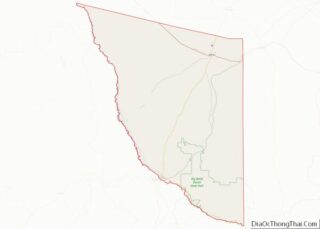
- Presidio
- Rains
- Randall
- Reagan
- Real
- Red River
- Reeves
- Refugio
- Roberts
- Robertson
- Rockwall
- Runnels
- Rusk
- Sabine
- San Augustine
- San Jacinto
- San Patricio
- San Saba
- Schleicher
- Scurry
- Shackelford
- Shelby
- Sherman
- Smith
- Somervell
- Starr
- Stephens
- Sterling
- Stonewall
- Sutton
- Swisher
- Tarrant
- Taylor
- Terrell
- Terry
- Throckmorton
- Titus
- Tom Green
- Travis
- Trinity
- Tyler
- Upshur
- Upton
- Uvalde
- Val Verde
- Van Zandt
- Victoria
- Walker
- Waller
- Ward
- Washington
- Webb
- Wharton
- Wheeler
- Wichita
- Wilbarger
- Willacy
- Williamson
- Wilson
- Winkler
- Wise
- Wood
- Yoakum
- Young
- Zapata
- Zavala
- Alabama
- Alaska
- Arizona
- Arkansas
- California
- Colorado
- Connecticut
- Delaware
- District of Columbia
- Florida
- Georgia
- Hawaii
- Idaho
- Illinois
- Indiana
- Iowa
- Kansas
- Kentucky
- Louisiana
- Maine
- Maryland
- Massachusetts
- Michigan
- Minnesota
- Mississippi
- Missouri
- Montana
- Nebraska
- Nevada
- New Hampshire
- New Jersey
- New Mexico
- New York
- North Carolina
- North Dakota
- Ohio
- Oklahoma
- Oregon
- Pennsylvania
- Rhode Island
- South Carolina
- South Dakota
- Tennessee
- Texas
- Utah
- Vermont
- Virginia
- Washington
- West Virginia
- Wisconsin
- Wyoming