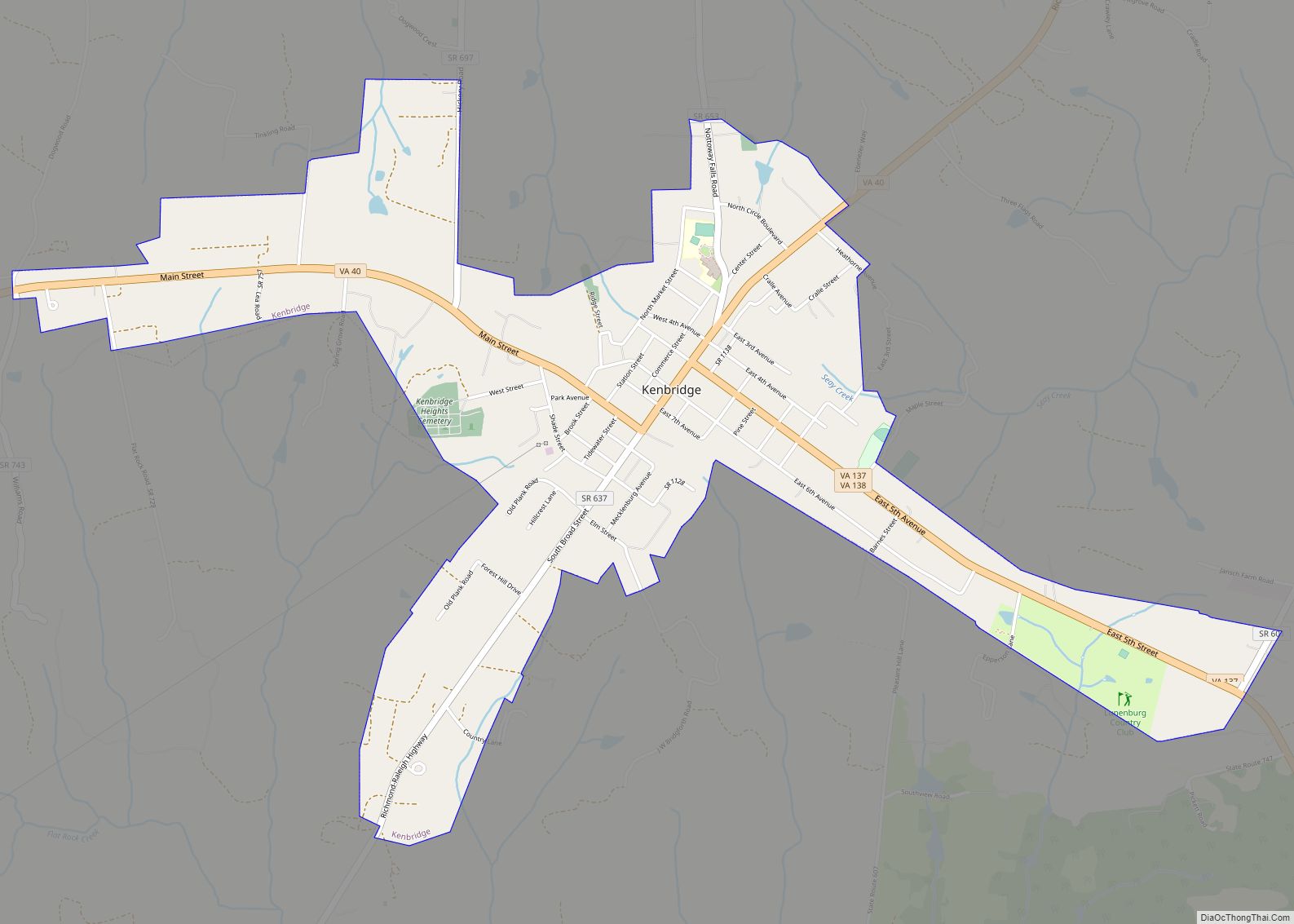
Map of Fairview CDP, Virginia

Map of Fairview CDP, Virginia

Fairview is a census-designated place in Mecklenburg County, Virginia, just north of Chase City.Some of the community is considered North Chase City. The population as of the 2010 census was 240. Fairview CDP overview: Name: Fairview CDP LSAD Code: 57 LSAD Description: CDP (suffix) State: Virginia County: Mecklenburg County ZIP code: 23924 FIPS code: 5126944 … Read more

Map of Fairview Beach CDP

Map of Fairview Beach CDP

Fairview Beach is an unincorporated community and census-designated place (CDP) in King George County, Virginia, United States. The population was 391 at the 2010 census, which was up significantly from the 230 reported in 2000. Fairview Beach CDP overview: Name: Fairview Beach CDP LSAD Code: 57 LSAD Description: CDP (suffix) State: Virginia County: King George … Read more

Map of Fort Hunt CDP

Map of Fort Hunt CDP

Fort Hunt is a census-designated place (CDP) in Fairfax County, Virginia, United States. The area is named after Fort Hunt, which was built on the bank of the Potomac River in 1897 to defend Washington, D.C. from naval attack and is now a public park. The area is also notable for its high population of … Read more

Map of Fort Chiswell CDP

Map of Fort Chiswell CDP

Fort Chiswell is a census-designated place (CDP) in Wythe County, Virginia, United States. The population was 939 at the 2010 census. Fort Chiswell is located at the junction of Interstates 77 and 81. Going west from Fort Chiswell, drivers find themselves on a double wrong-way concurrency – one of few in the nation. Interstate 77 … Read more

Map of Fort Belvoir CDP

Map of Fort Belvoir CDP

Fort Belvoir /ˈbɛlvwɑːr/ is a United States Army installation and a census-designated place (CDP) in Fairfax County, Virginia, United States. It was developed on the site of the former Belvoir plantation, seat of the prominent Fairfax family for whom Fairfax County was named. It was known as Camp A. A. Humphreys from 1917 to 1935 … Read more

Map of Forest CDP, Virginia

Map of Forest CDP, Virginia

Forest CDP overview: Name: Forest CDP LSAD Code: 57 LSAD Description: CDP (suffix) State: Virginia County: Bedford County FIPS code: 5128688 Online Interactive Map Forest online map. Source: Basemap layers from Google Map, Open Street Map (OSM), Arcgisonline, Wmflabs. Boundary Data from Database of Global Administrative Areas. Forest location map. Where is Forest CDP? Forest … Read more

Map of Floyd town, Virginia

Map of Floyd town, Virginia

Floyd is a town in Floyd County, Virginia, United States. The population was 425 at the 2010 census. It is the county seat of Floyd County. The Town of Floyd was originally named Jacksonville as the surrounding county was formed during the tenure of President Andrew Jackson. The name was subsequently changed to Floyd for … Read more

Map of Floris CDP, Virginia

Map of Floris CDP, Virginia

Floris is a census-designated place (CDP) located within the Oak Hill area of Fairfax County, Virginia, United States. The population as of the 2010 census was 8,375. Floris CDP overview: Name: Floris CDP LSAD Code: 57 LSAD Description: CDP (suffix) State: Virginia County: Fairfax County Elevation: 360 ft (110 m) Total Area: 2.78 sq mi (7.20 km²) Land Area: 2.76 sq mi … Read more

Map of Flint Hill CDP, Virginia

Map of Flint Hill CDP, Virginia

Flint Hill is a census-designated place (CDP) in Rappahannock County, Virginia, United States. The population as of the 2010 Census was 209. It is located on Route 522, approximately 2 miles to the east of the border of the Shenandoah National Park. The linear and compact shaped village includes agricultural buildings, residential dwellings, churches, and … Read more

Map of Fishersville CDP

Map of Fishersville CDP

Fishersville CDP overview: Name: Fishersville CDP LSAD Code: 57 LSAD Description: CDP (suffix) State: Virginia County: Augusta County FIPS code: 5127968 Online Interactive Map Fishersville online map. Source: Basemap layers from Google Map, Open Street Map (OSM), Arcgisonline, Wmflabs. Boundary Data from Database of Global Administrative Areas. Fishersville location map. Where is Fishersville CDP? Fishersville … Read more

Map of Franconia CDP

Map of Franconia CDP

Franconia is a census-designated place (CDP) in Fairfax County, Virginia, United States. The population was 18,245 at the 2010 census, down from 31,907 in 2000 due to the splitting off of part of it to form the Kingstowne CDP. Located just southwest of Alexandria, Franconia has existed as a community since the 1870s, when a … Read more

Map of Fort Lee CDP, Virginia

Map of Fort Lee CDP, Virginia

Fort Lee CDP overview: Name: Fort Lee CDP LSAD Code: 57 LSAD Description: CDP (suffix) State: Virginia County: Prince George County FIPS code: 5129152 Online Interactive Map Fort Lee online map. Source: Basemap layers from Google Map, Open Street Map (OSM), Arcgisonline, Wmflabs. Boundary Data from Database of Global Administrative Areas. Fort Lee location map. … Read more