King William is a census-designated place (CDP) in and the county seat of King William County, Virginia, United States. The population as of the 2010 census was 252. Located in King William is the oldest courthouse in continuous use in the United States, built in 1725. The community is also known as King William Courthouse or, by an alternative spelling, King William Court House.
The King William County Courthouse, King William Training School, Sharon Indian School, and Sweet Hall are listed on the National Register of Historic Places.
| Name: | King William CDP |
|---|---|
| LSAD Code: | 57 |
| LSAD Description: | CDP (suffix) |
| State: | Virginia |
| County: | King William County |
| Elevation: | 142 ft (43 m) |
| Total Area: | 4.6 sq mi (11.9 km²) |
| Land Area: | 4.6 sq mi (11.9 km²) |
| Water Area: | 0.0 sq mi (0.0 km²) |
| Total Population: | 252 |
| Population Density: | 55/sq mi (21.1/km²) |
| ZIP code: | 23086 |
| FIPS code: | 5142792 |
| GNISfeature ID: | 1498501 |
Online Interactive Map
Click on ![]() to view map in "full screen" mode.
to view map in "full screen" mode.
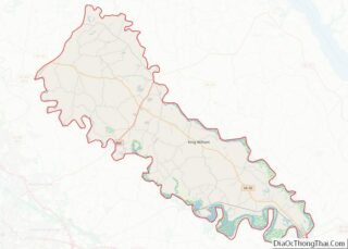
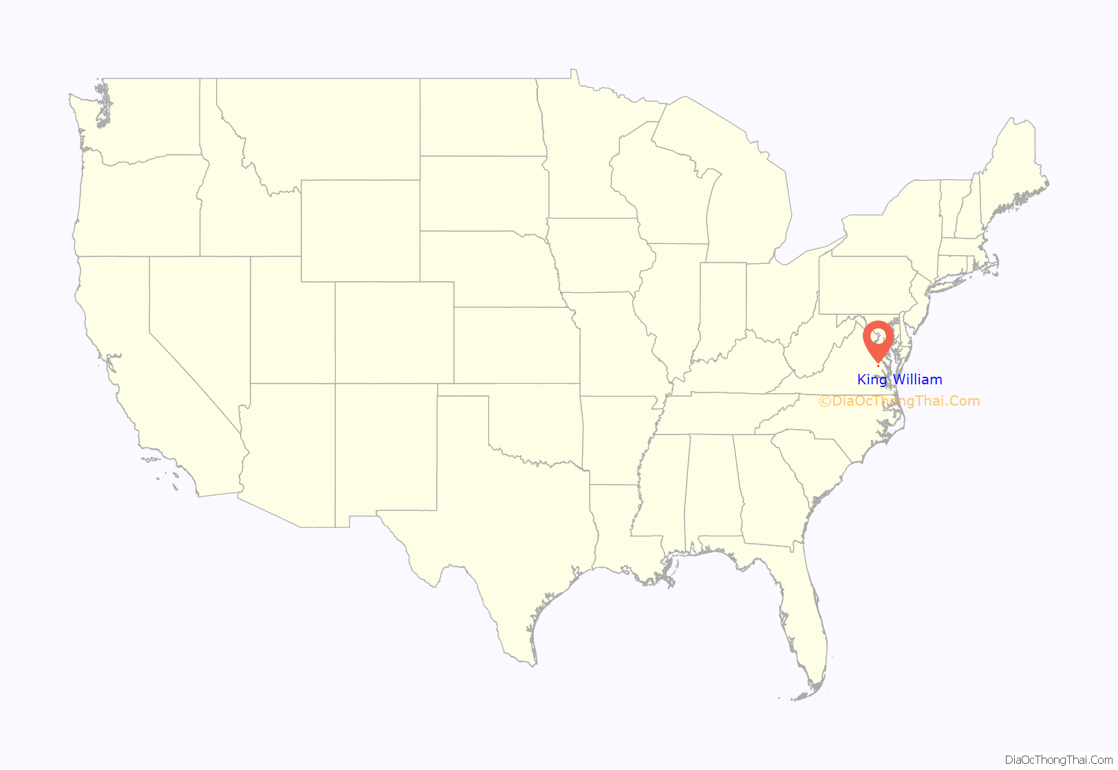
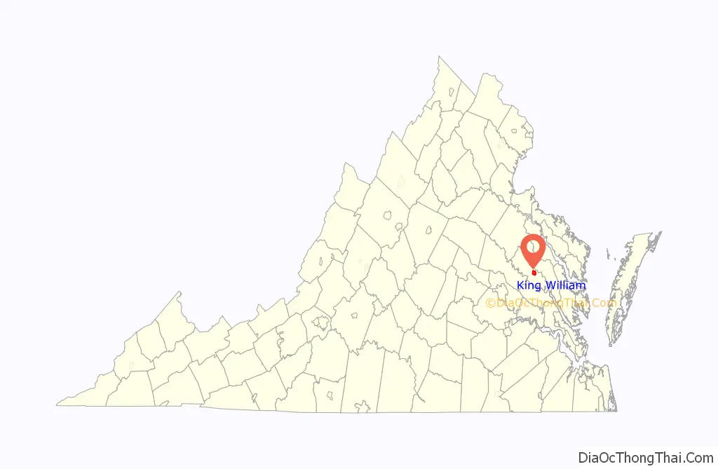
King William location map. Where is King William CDP?
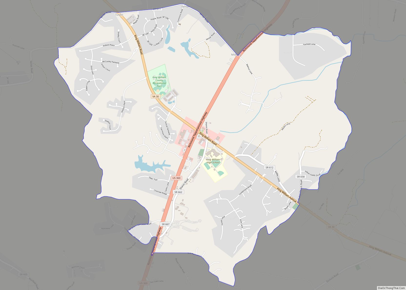
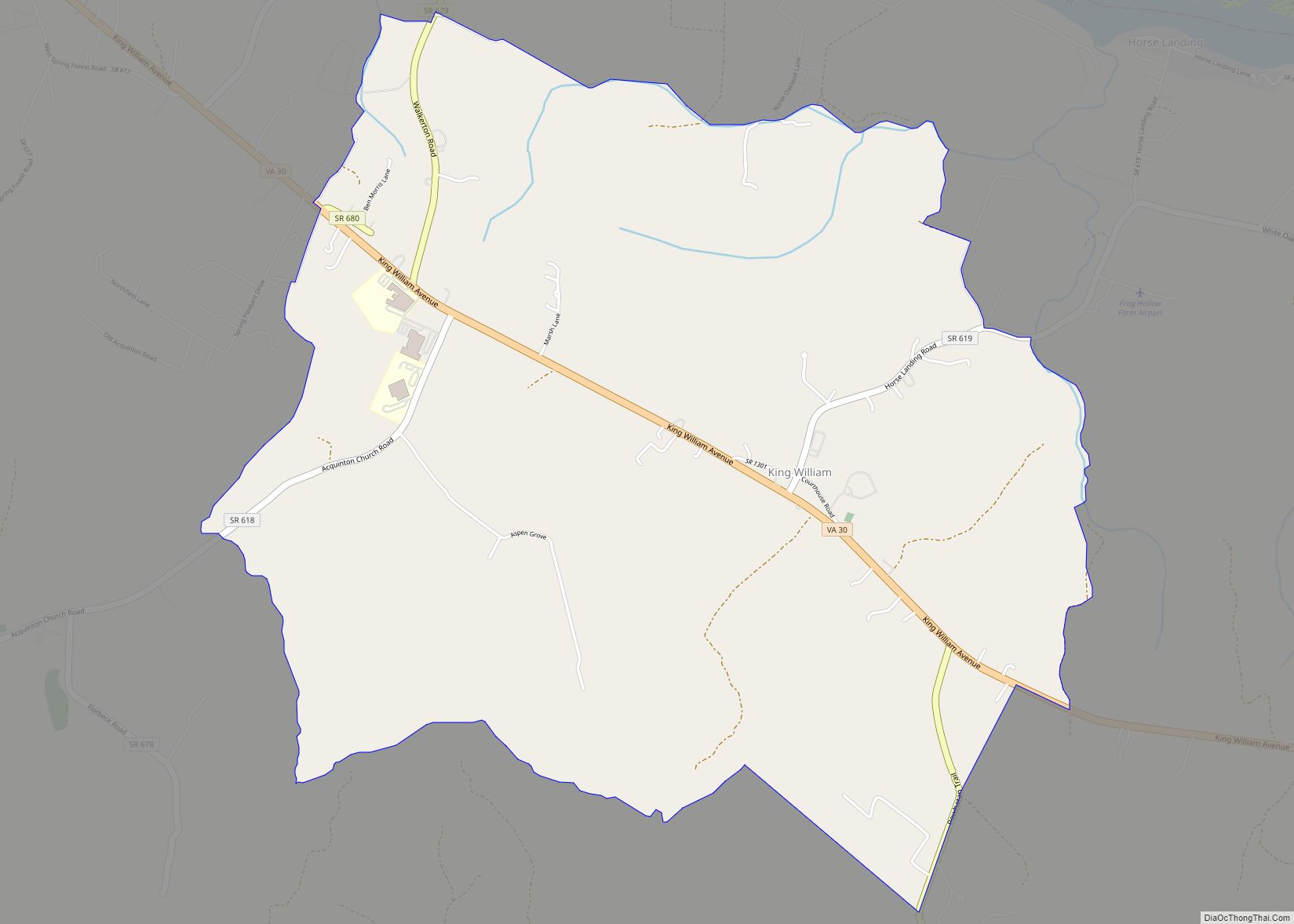
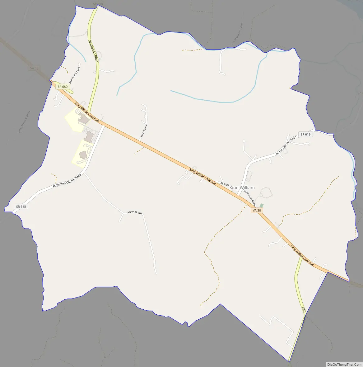
King William Road Map
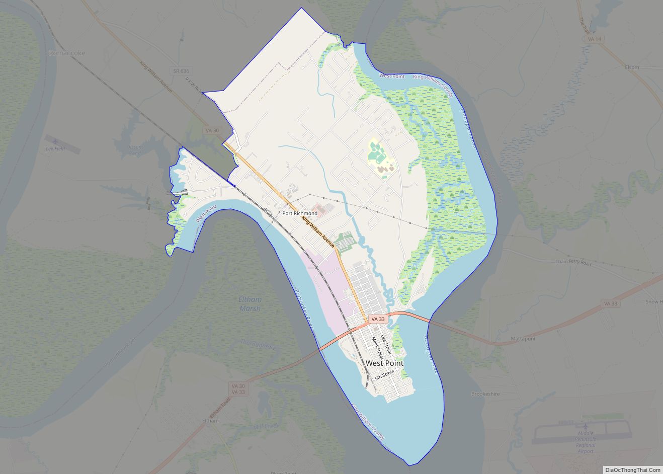
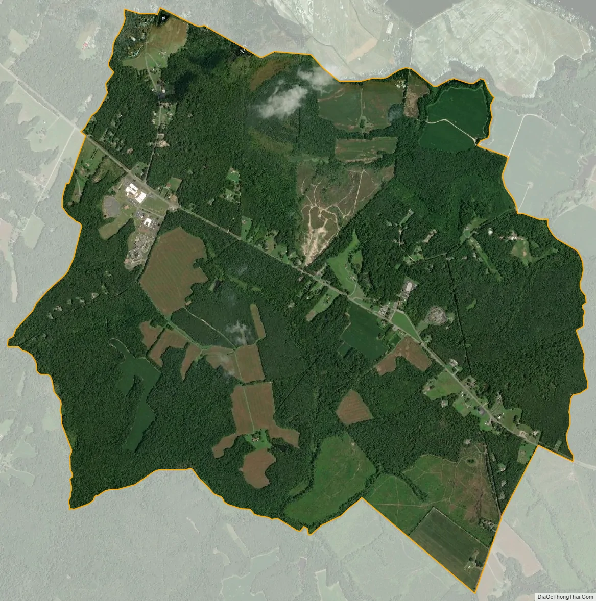
King William city Satellite Map
Geography
King William is slightly east of the center of King William County, along Virginia State Route 30. It is 17 miles (27 km) northwest of West Point and 31 miles (50 km) by road east of Richmond.
According to the U.S. Census Bureau, the CDP has an area of 4.6 square miles (11.9 km), of which 0.4 acres (1,588 m), or 0.01%, are water. King William is 2 miles (3 km) south of Horse Landing, a small community on the tidal Mattaponi River.
The Pamunkey Indian Reservation is located 10 miles (16 km) south of King William, and the Pamunkey Indian Tribe Museum was established on the reservation in 1979. The chiefs Wahunsonacock and Opechancanough are buried on the Pamunkey Indian Reservation near railroad tracks.
See also
Map of Virginia State and its subdivision:- Accomack
- Albemarle
- Alexandria
- Alleghany
- Amelia
- Amherst
- Appomattox
- Arlington
- Augusta
- Bath
- Bedford
- Bedford City
- Bland
- Botetourt
- Bristol
- Brunswick
- Buchanan
- Buckingham
- Buena Vista
- Campbell
- Caroline
- Carroll
- Charles City
- Charlotte
- Charlottesville
- Chesapeake
- Chesterfield
- Clarke
- Clifton Forge City
- Colonial Heights
- Covington
- Craig
- Culpeper
- Cumberland
- Danville
- Dickenson
- Dinwiddie
- Emporia
- Essex
- Fairfax
- Fairfax City
- Falls Church
- Fauquier
- Floyd
- Fluvanna
- Franklin
- Frederick
- Fredericksburg
- Galax
- Giles
- Gloucester
- Goochland
- Grayson
- Greene
- Greensville
- Halifax
- Hampton
- Hanover
- Harrisonburg
- Henrico
- Henry
- Highland
- Hopewell
- Isle of Wight
- James City
- King and Queen
- King George
- King William
- Lancaster
- Lee
- Lexington
- Loudoun
- Louisa
- Lunenburg
- Lynchburg
- Madison
- Manassas
- Manassas Park
- Martinsville
- Mathews
- Mecklenburg
- Middlesex
- Montgomery
- Nelson
- New Kent
- Newport News
- Norfolk
- Northampton
- Northumberland
- Norton
- Nottoway
- Orange
- Page
- Patrick
- Petersburg
- Pittsylvania
- Poquoson
- Portsmouth
- Powhatan
- Prince Edward
- Prince George
- Prince William
- Pulaski
- Radford
- Rappahannock
- Richmond
- Roanoke
- Roanoke City
- Rockbridge
- Rockingham
- Russell
- Salem
- Scott
- Shenandoah
- Smyth
- Southampton
- Spotsylvania
- Stafford
- Staunton
- Suffolk
- Surry
- Sussex
- Tazewell
- Virginia Beach
- Warren
- Washington
- Waynesboro
- Westmoreland
- Williamsburg
- Winchester
- Wise
- Wythe
- York
- Alabama
- Alaska
- Arizona
- Arkansas
- California
- Colorado
- Connecticut
- Delaware
- District of Columbia
- Florida
- Georgia
- Hawaii
- Idaho
- Illinois
- Indiana
- Iowa
- Kansas
- Kentucky
- Louisiana
- Maine
- Maryland
- Massachusetts
- Michigan
- Minnesota
- Mississippi
- Missouri
- Montana
- Nebraska
- Nevada
- New Hampshire
- New Jersey
- New Mexico
- New York
- North Carolina
- North Dakota
- Ohio
- Oklahoma
- Oregon
- Pennsylvania
- Rhode Island
- South Carolina
- South Dakota
- Tennessee
- Texas
- Utah
- Vermont
- Virginia
- Washington
- West Virginia
- Wisconsin
- Wyoming