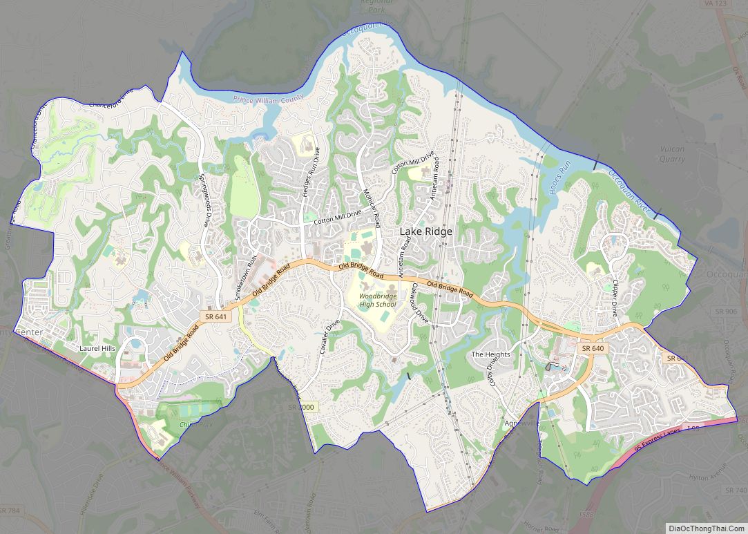
Lake Ridge is a census-designated place (CDP) in Prince William County, Virginia, United States. It is an annex of Woodbridge, Virginia. The population was 41,058 at the 2010 census, an increase of 35% from 2000. Lake Ridge CDP overview: Name: Lake Ridge CDP LSAD Code: 57 LSAD Description: CDP (suffix) State: Virginia County: Prince William ... Read more
Virginia Cities and Places
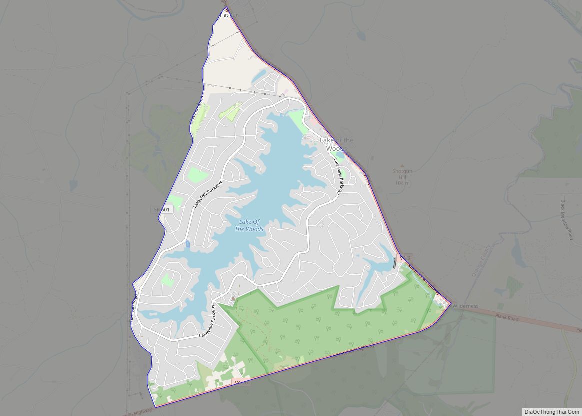
Lake of the Woods is a census-designated place in Locust Grove, Orange County, Virginia. It is a gated subdivision covering approximately 2,600 acres with 4,260 lots (850 with lake frontage) distributed among 16 sections (many named after well-known southern names and landmarks). It includes more than 41 miles of paved private roads. Lake of the ... Read more
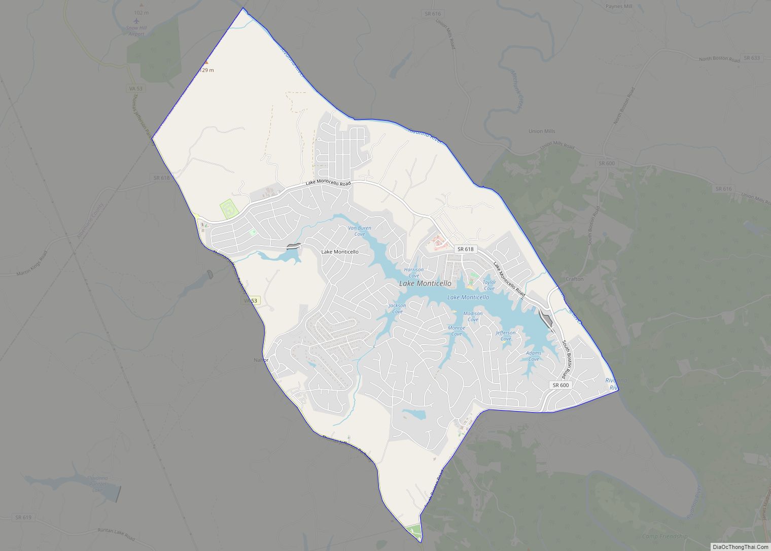
Lake Monticello CDP overview: Name: Lake Monticello CDP LSAD Code: 57 LSAD Description: CDP (suffix) State: Virginia County: Fluvanna County FIPS code: 5143424 Online Interactive Map Lake Monticello online map. Source: Basemap layers from Google Map, Open Street Map (OSM), Arcgisonline, Wmflabs. Boundary Data from Database of Global Administrative Areas. Lake Monticello location map. Where ... Read more
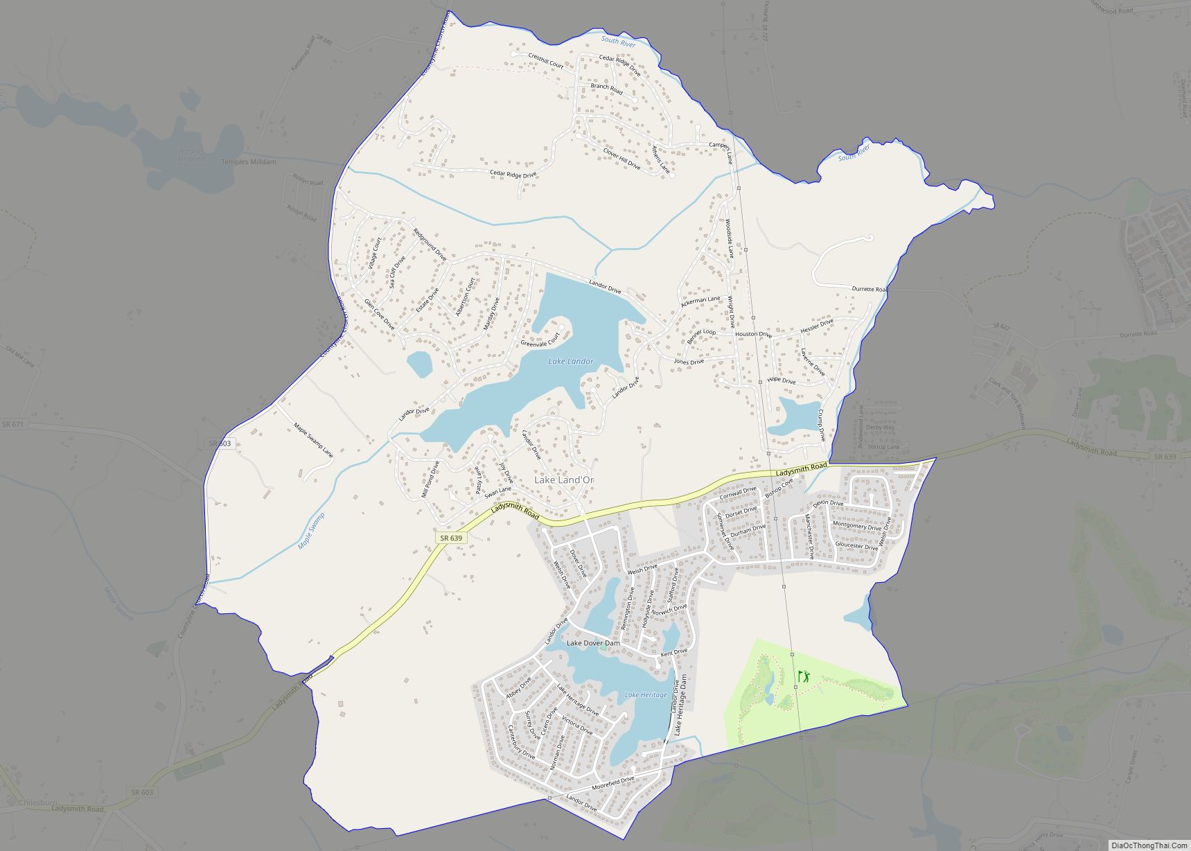
Lake Land’Or is a census-designated place in Caroline County, Virginia, United States. The population as of the 2010 census was 4,223. It is a gated subdivision built around the eponymous man-made lake and numerous smaller lakes and ponds, about 2 miles (3 km) west of Ladysmith. Lake Land’Or CDP overview: Name: Lake Land’Or CDP LSAD Code: ... Read more
Leesburg is a town in and the county seat of Loudoun County, Virginia, United States. Settlement in the area began around 1740, which is named for the Lee family, early leaders of the town. Located in the far northeast of the state, in the War of 1812 it was a refuge for important federal documents ... Read more
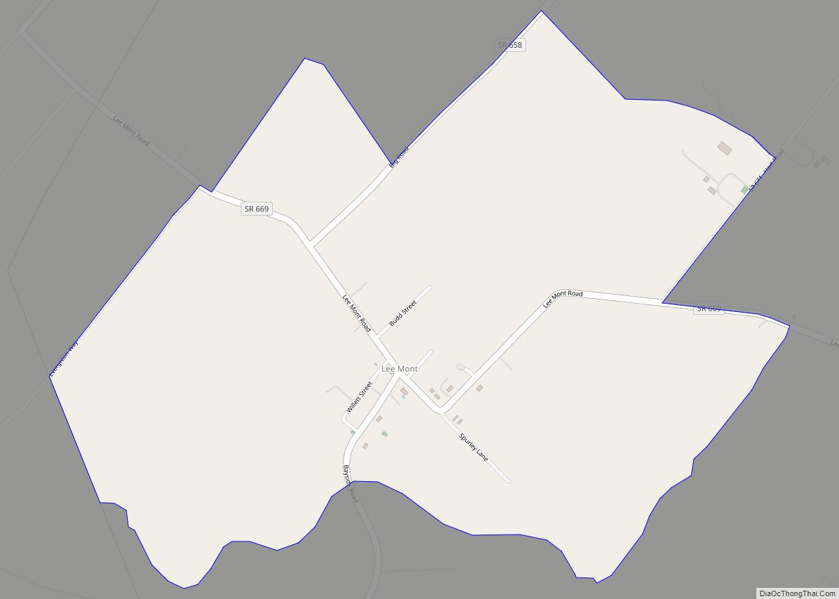
Lee Mont is a census-designated place (CDP) in Accomack County, Virginia, United States. Per the 2020 census, the population was 102. Lee Mont CDP overview: Name: Lee Mont CDP LSAD Code: 57 LSAD Description: CDP (suffix) State: Virginia County: Accomack County Elevation: 4 m (13 ft) Total Area: 102 FIPS code: 5144952 GNISfeature ID: 2584865 Online Interactive ... Read more
Lebanon is a town in Russell County, Virginia, United States. The population was 3,424 at the 2010 census. It is the county seat of Russell County. Lebanon town overview: Name: Lebanon town LSAD Code: 43 LSAD Description: town (suffix) State: Virginia County: Russell County Elevation: 2,060 ft (628 m) Total Area: 4.83 sq mi (12.52 km²) Land Area: 4.82 sq mi (12.47 km²) ... Read more
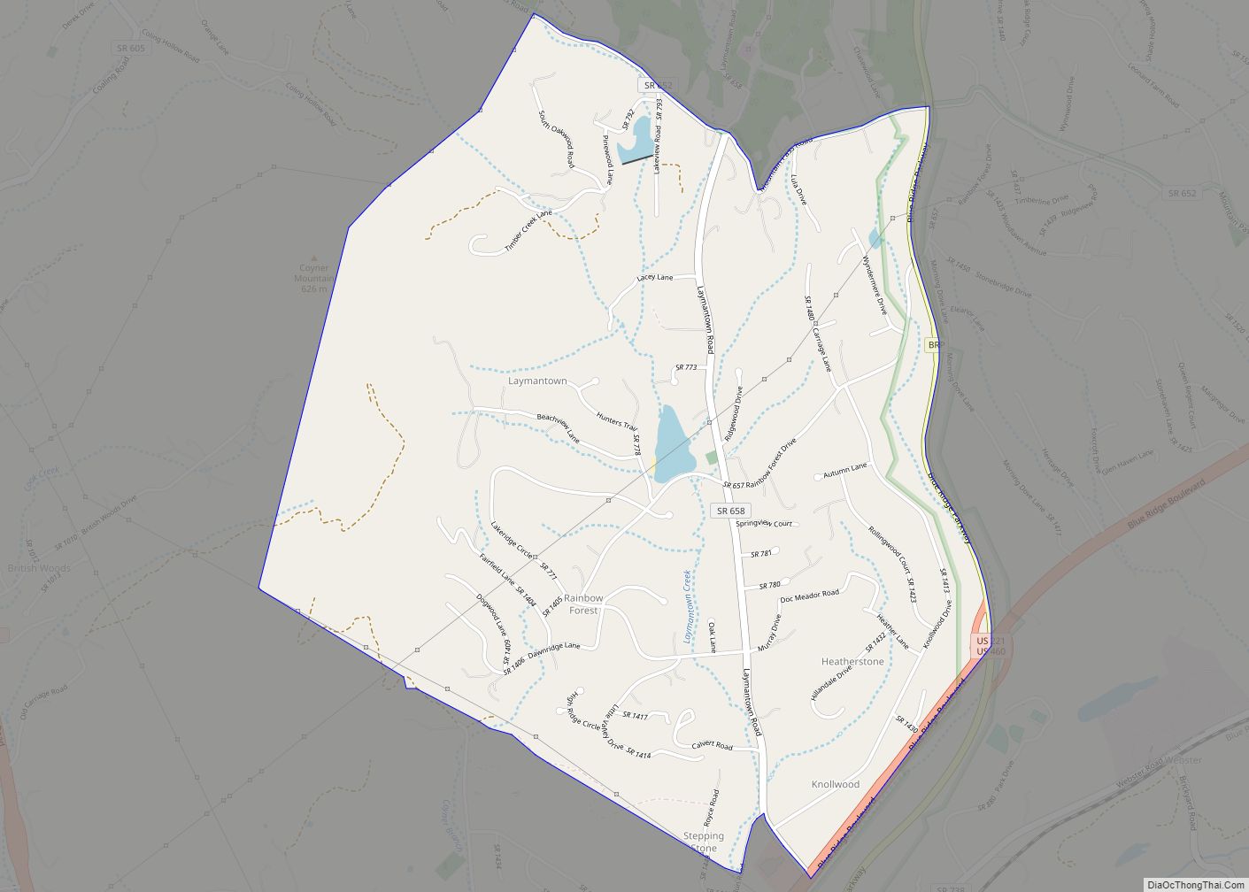
Laymantown is a census-designated place (CDP) in southern Botetourt County, Virginia, United States. The population was 1,867 at the 2020 census. The community is located along State Route 658 (Laymantown Road). It is part of the Roanoke Metropolitan Statistical Area. Laymantown CDP overview: Name: Laymantown CDP LSAD Code: 57 LSAD Description: CDP (suffix) State: Virginia ... Read more
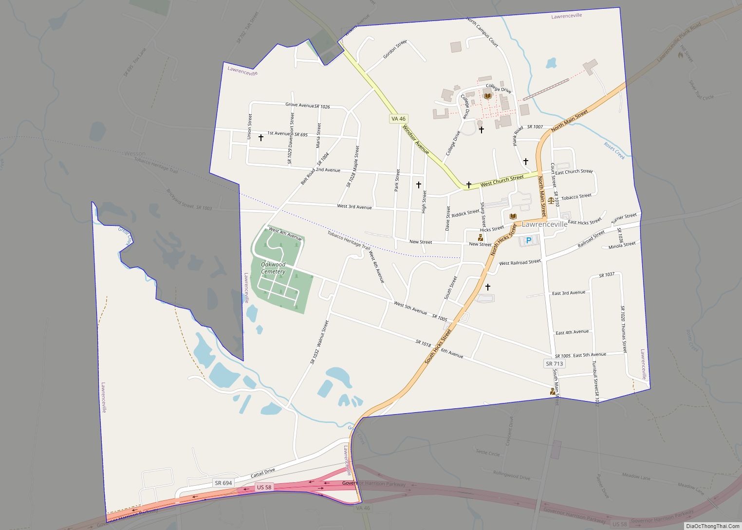
Lawrenceville is a town in Brunswick County, Virginia, United States. Per the 2020 census, the population was 1,014. Located by the Meherrin River, it is the county seat of Brunswick County. In colonial times, Lieutenant Governor Alexander Spotswood had a stockade built nearby, called Fort Christanna, where converted Native American allies were housed and educated. ... Read more
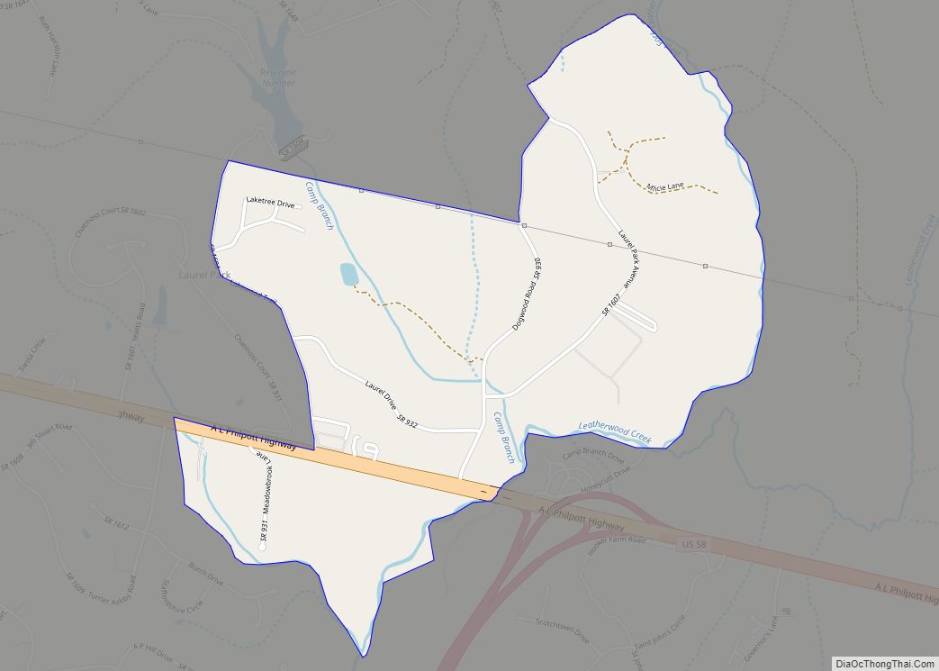
Laurel Park is a census-designated place (CDP) in Henry County, Virginia, United States. The population was 675 at the 2010 census. It is part of the Martinsville Micropolitan Statistical Area. Laurel Park CDP overview: Name: Laurel Park CDP LSAD Code: 57 LSAD Description: CDP (suffix) State: Virginia County: Henry County Elevation: 791 ft (241 m) Total Area: ... Read more
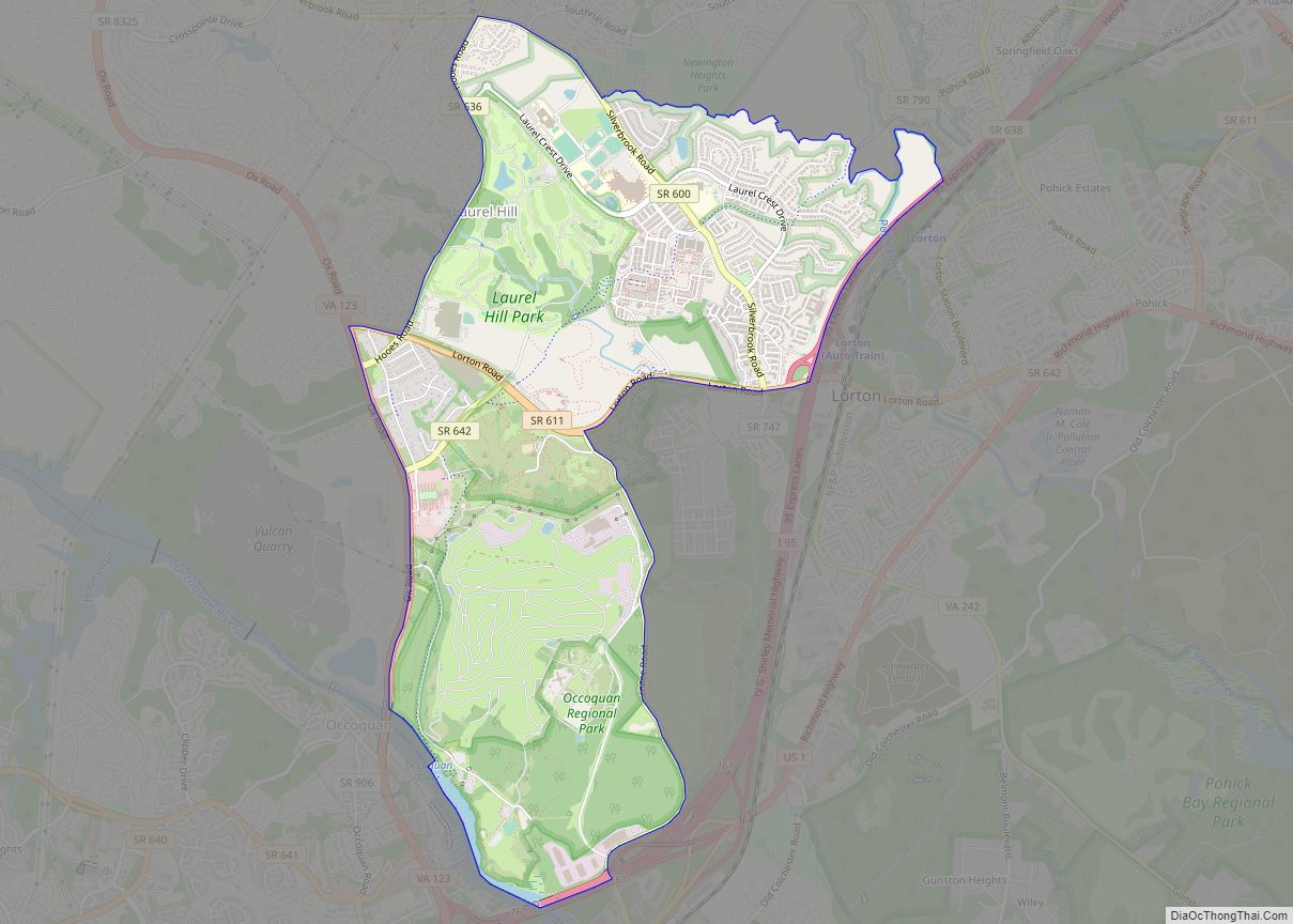
Laurel Hill is a census-designated place in Fairfax County, Virginia, United States. The population as of the 2010 census was 6,855. Formerly part of the Lorton CDP, it comprises most of what was formerly the Lorton Reformatory grounds, which were purchased by Fairfax County in 2002 following the prison’s closing and redeveloped as a new ... Read more
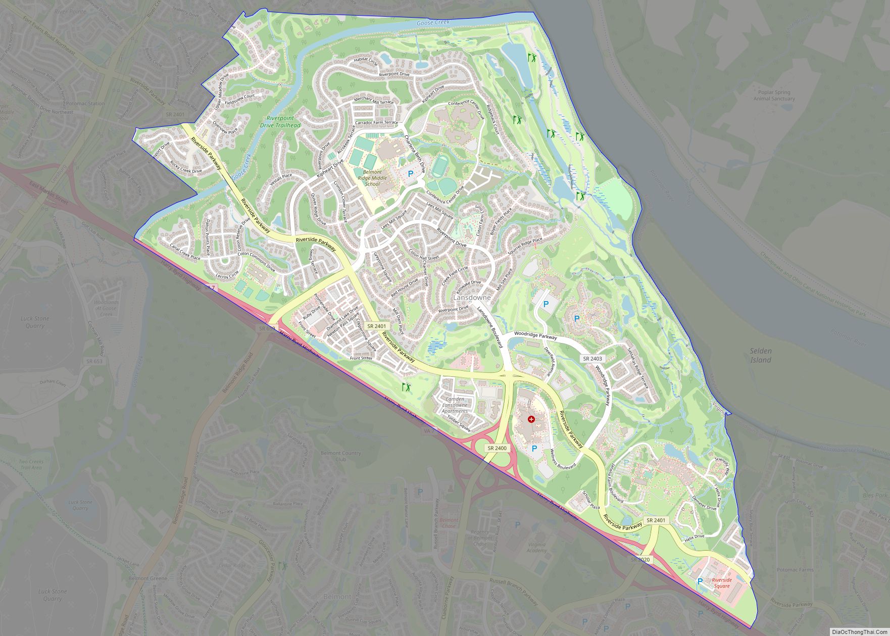
Lansdowne is a census-designated place and planned community located near Leesburg, Virginia in Loudoun County, Virginia. The population as of the 2010 United States Census was 11,253. It is north of State Route 7 and south of the Potomac River. Before the Revolutionary War, the Lee family established Coton Manor here. A section of the ... Read more
