Leesburg is a town in and the county seat of Loudoun County, Virginia, United States. Settlement in the area began around 1740, which is named for the Lee family, early leaders of the town. Located in the far northeast of the state, in the War of 1812 it was a refuge for important federal documents evacuated from Washington, DC, and in the Civil War, it changed hands several times.
Leesburg is 33 miles (53 km) west-northwest of Washington, D.C., along the base of Catoctin Mountain and close to the Potomac River. The town is the northwestern terminus of the Dulles Greenway, a private toll road that connects to the Dulles Toll Road at Washington Dulles International Airport. Its population was 48,250 as of the 2020 Census and an estimated 48,908 in 2021. It is Virginia’s largest incorporated town within a county (rather than being an independent city).
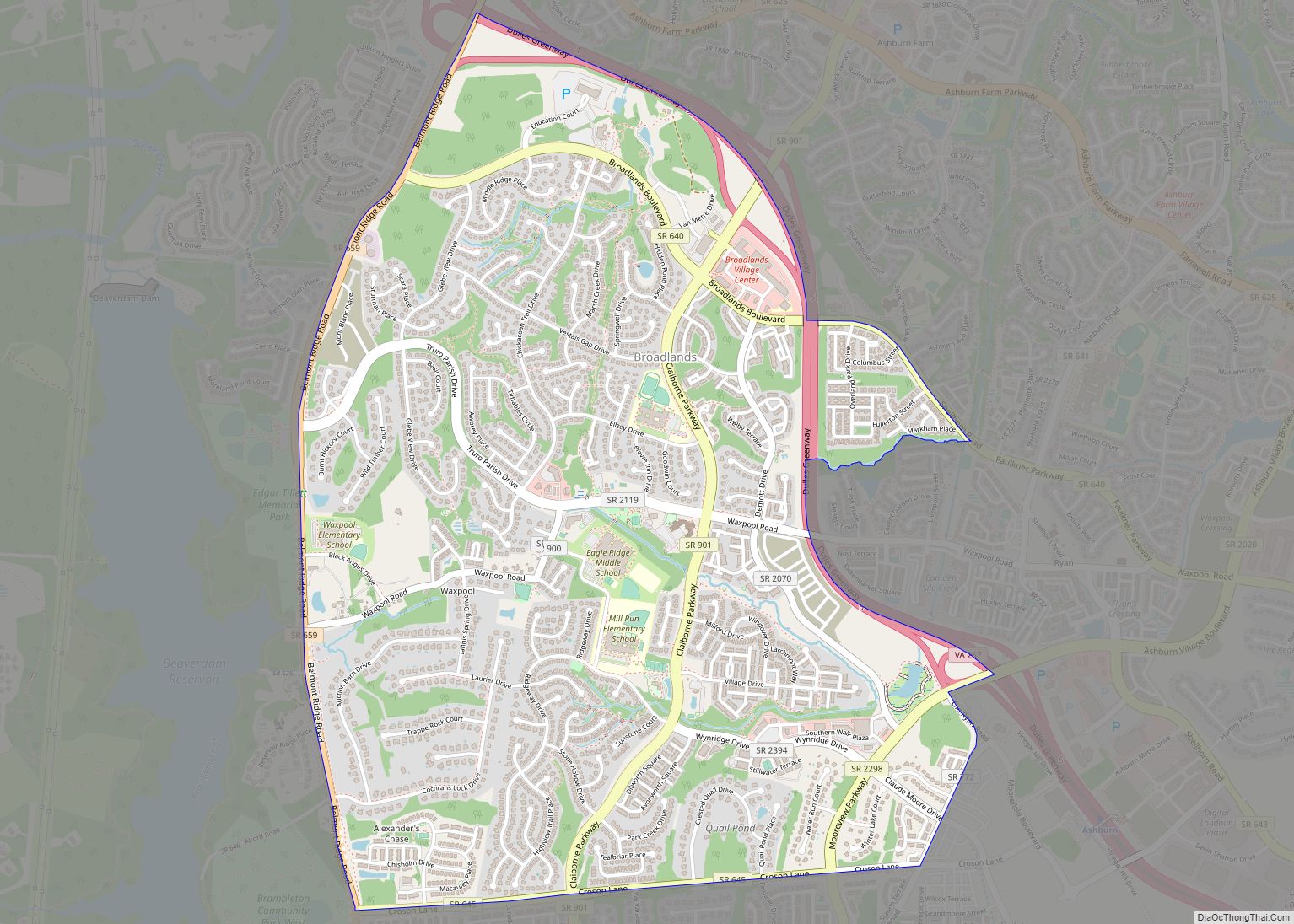
Leesburg, like much of Loudoun County, has undergone considerable growth and development over the last 30 years, transforming from a small, rural, Piedmont town to a suburban bedroom community for commuters to the national capital. Growth in the town and its immediate area to the east (Lansdowne/Ashburn) concentrates along the Dulles Greenway and State Route 7, which roughly parallels the Potomac River between Winchester to the west and Alexandria to the east.
Leesburg is home to professional soccer team Loudoun United FC of the USL Championship division who play their home matches at Segra Field , a soccer-specific stadium located within Phillip A. Bolen Park, and adjacent to Loudoun Soccer Park. The season runs from March through October. Home and road matches are carried on the ESPN+ streaming platform which carries all USL Championship matches with some selected league matches on one of ESPN’s linear channels
Northern Virginia United FC is another American soccer club based in Leesburg. They currently have teams in the fourth-tier National Premier Soccer League and fifth-tier United Premier Soccer League.The club play their home matches at Cropp Metcalfe Park at Evergreen Sportsplex. All home games are broadcast live from Evergreen Sportsplex via the club’s YouTube channel.
The Federal Aviation Administration’s Washington Air Route Traffic Control Center is in Leesburg.
| Name: | Leesburg town |
|---|---|
| LSAD Code: | 43 |
| LSAD Description: | town (suffix) |
| State: | Virginia |
| County: | Loudoun County |
| Founded: | October 12, 1758 |
| Elevation: | 341 ft (104 m) |
| Total Area: | 12.47 sq mi (32.29 km²) |
| Land Area: | 12.40 sq mi (32.11 km²) |
| Water Area: | 0.07 sq mi (0.18 km²) |
| Total Population: | 48,250 |
| Population Density: | 4,333.17/sq mi (1,673.07/km²) |
| ZIP code: | 20175-20178 |
| Area code: | 703, 571 |
| FIPS code: | 5144984 |
| GNISfeature ID: | 1498505 |
| Website: | www.leesburgva.gov |
Online Interactive Map
Click on ![]() to view map in "full screen" mode.
to view map in "full screen" mode.
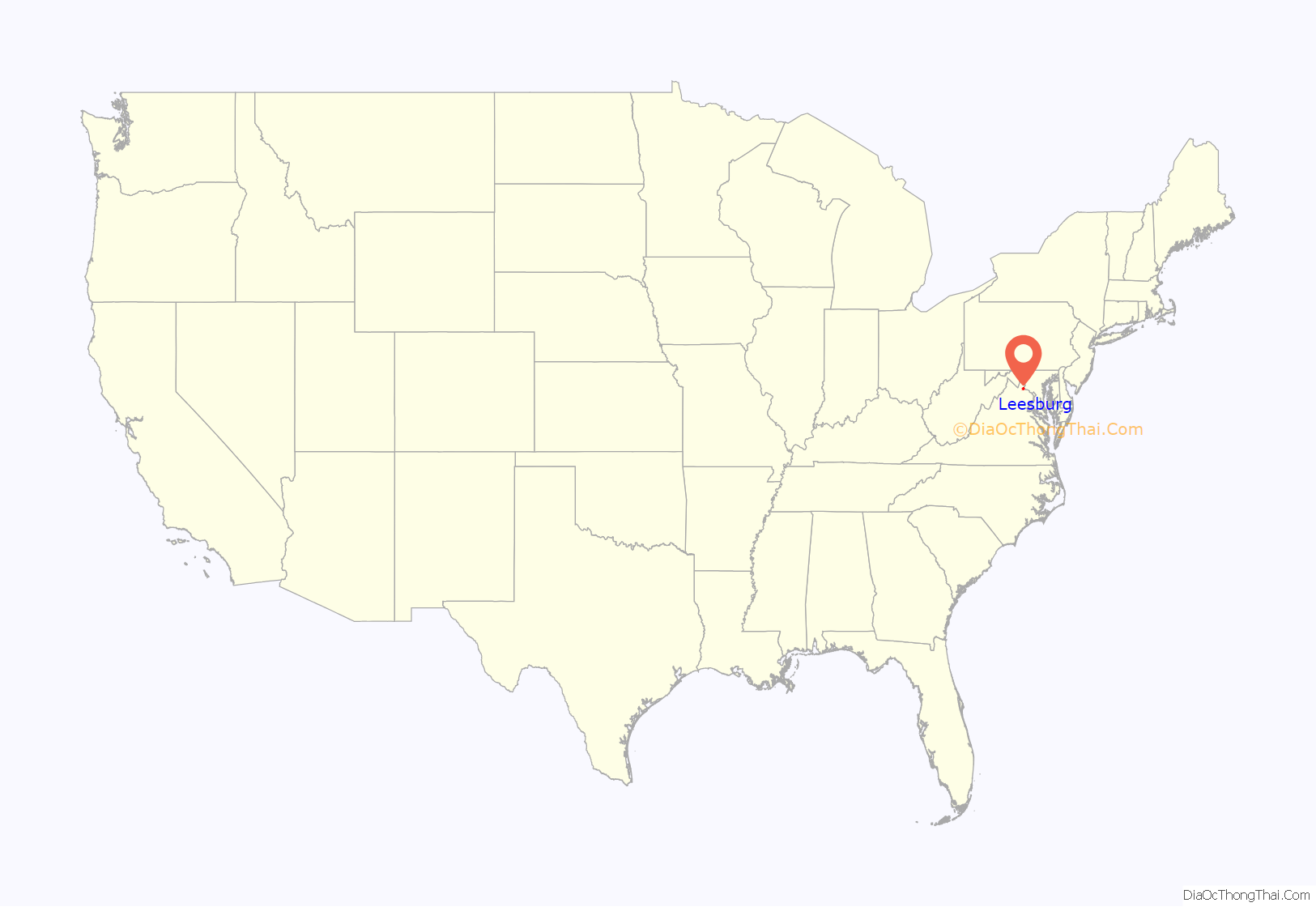
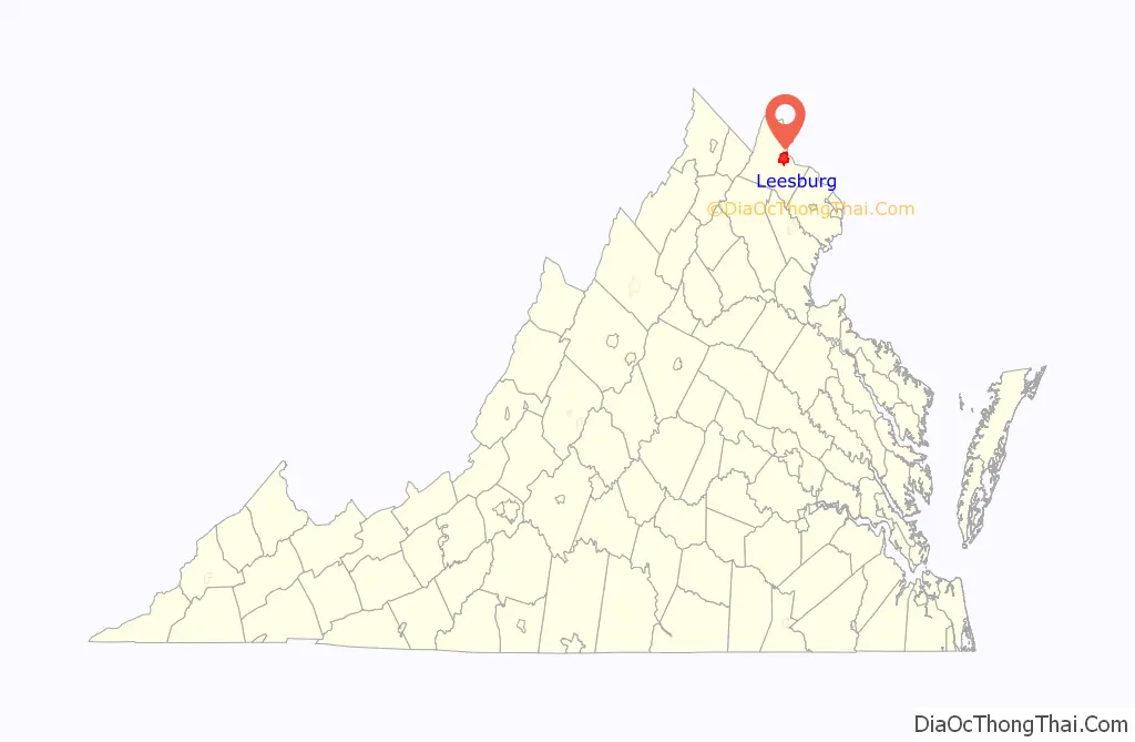
Leesburg location map. Where is Leesburg town?
History
Prior to European settlement, the area around Leesburg was occupied by various Native American tribes. John Lederer (1670) testified that the entire Piedmont region had once been occupied by the “Tacci, alias Dogi”, but that the Siouan tribes, driven from the northwest, had occupied it for 400 years. In 1699, the Algonquian Piscataway (Conoy) moved to an island in the Potomac in the environs of Leesburg, and were there when the first known Europeans visited what is now Loudoun County.
What would become known as the Old Carolina Road (present day U.S. Route 15) was a major route of travel between north and south for Native tribes. According to local historians, a pitched battle was fought near present Leesburg between the warring Catawba and Lenape tribes, neither of whom lived in the area. A war party of Lenape had traveled from their home in New Jersey and neighboring regions, all the way to South Carolina to inflict a blow on their distant enemies, the Catawba. As they were returning northward, a party of Catawbas overtook them before they reached the Potomac, but were defeated in a pitched battle 2 miles (3 km) south of Leesburg. The surviving Lenape buried their dead in a huge burial mound, and early settlers reported that they would return to this mound to honor their dead on the anniversary of this battle for many years thereafter. The date of this conflict is unknown, but it seems the Lenape and Catawba were indeed at war in the 1720s and 1730s.
European settlement near Leesburg began in the late 1730s as Tidewater planters moved into the area from the south and east, establishing large farms and plantations. Many of the First Families of Virginia were among those to settle in the area, including the Carters, Lees and Masons. The genesis of Leesburg occurred sometime before 1755 when Nicholas Minor acquired land around the intersection of the Old Carolina Road and the Potomac Ridge Road (present-day Route 7) and established a tavern there. Despite lack of growth around the tavern, upon Loudoun County’s formation in 1757, Minor dubbed the sparse collection of buildings about his tavern “George Town” in honor of the reigning monarch of Great Britain. The village’s prosperity changed the following year when the British Colonial Council ordered the establishment of the county courthouse at the crossroads. Accordingly, Minor had a town laid out on the traditional Virginia plan of six criss-cross streets. On October 12 of that year (1758) the Virginia General Assembly founded the town of Leesburg upon the 60 acres (0.24 km) that Minor laid out. Leesburg was renamed to honor the influential Thomas Lee and not, as is popular belief, his son Francis Lightfoot Lee who lived in Loudoun and brought up the bill to establish Leesburg. When the post office was established in Leesburg in 1803 the branch was named “Leesburgh”; the “h” persisted until 1894.
During the War of 1812, Leesburg served as a temporary haven for the United States government and its archives (including the Declaration of Independence and the U.S. Constitution and portraits of early American leaders like Benjamin Franklin) when it was forced to flee Washington in the face of the British Army. Some websites have claimed that this resulted in Leesburg temporarily becoming the capital of the United States. However, these claims are not true, as none of the U.S. government bodies were present in Leesburg at the time. When reconstruction began on the Capitol, Potomac marble from quarries just south of Leesburg was used.
Early in the American Civil War Leesburg was the site of the Battle of Ball’s Bluff, a small but significant Confederate victory. The battlefield, along the Potomac River 2 miles (3 km) northeast of the town center, is marked by one of America’s smallest national cemeteries. The town frequently changed hands over the course of the war as both armies traversed the area during the Maryland and Gettysburg campaigns. The Battle of Mile Hill was fought just north of the town prior to its occupation by Robert E. Lee in September 1862. Leesburg also served as a base of operations for Col. John S. Mosby and his partisan Raiders. Some people consider the local courthouse among the few courthouses in Virginia not burned during the Civil War (1861–1865); the present one was built in 1894. In 1889 a 14-year-old African-American Orion Anderson was killed by a white mob at the town’s freight depot; his murder would be the second of three recorded lynchings in Loudoun County, Virginia, between 1880 and 1902.
In the 20th century, Leesburg was the home of World War II General George C. Marshall, architect of the famous Marshall Plan that helped re-build Europe after the war, and radio personality Arthur Godfrey, who donated land for the town’s first airport.
Leesburg continues to serve as the center of government and commerce for Loudoun County. The town’s Historic District was placed on the National Register of Historic Places in 1970 and cited as one of the best preserved and most picturesque downtowns in Virginia. Downtown merchants have recently labeled themselves “Loudoun’s Original Town Center”, largely in response to the growing number of mixed-use shopping areas in proximity. Leesburg has served as the Loudoun county seat continuously since the county’s formation in 1757.
Historic sites
The Leesburg area contains 21 entries on the National Register of Historic Places, including:
- Dodona Manor, the restored, early 19th century home of George C. Marshall, a general and diplomat who received the Nobel Peace Prize and owned the home from 1941 until his death in 1959.George C. Marshall’s Dodona Manor is open to the public as a museum.
- Exeter Plantation, delisted after it burned down.
- Glenfiddich House, a former Civil War era hospital where Robert E. Lee planned the invasion of Maryland.
- Morven Park, the estate of Virginia Governor Westmoreland Davis.
- Oatlands Historic House & Gardens, a National Historic Landmark and former home of George Carter and William Corcoran Eustis.
- White’s Ferry, before closing in December 2020 was the only remaining ferry across the Potomac River, with its Virginia terminus 4 miles (6 km) northeast of town. It was a cable-guided car and passenger ferry. A ferry had plied the river from this site since 1828. According to WTOP, a Loudoun County businessman purchased White’s Ferry in February 2021 with the express purpose of reviving the historic Potomac River crossing.
At least 63 historic markers are located in and near Leesburg.
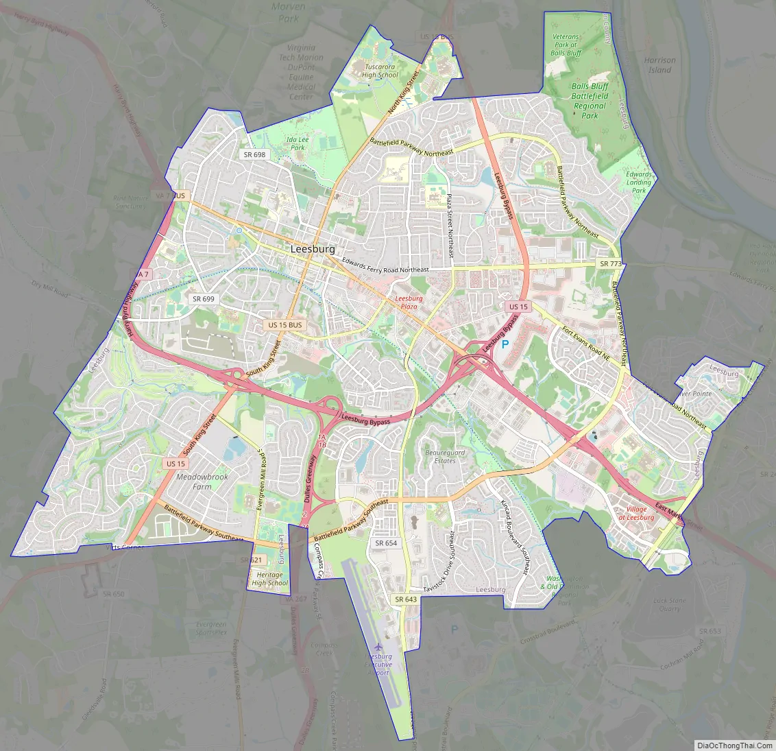
Leesburg Road Map
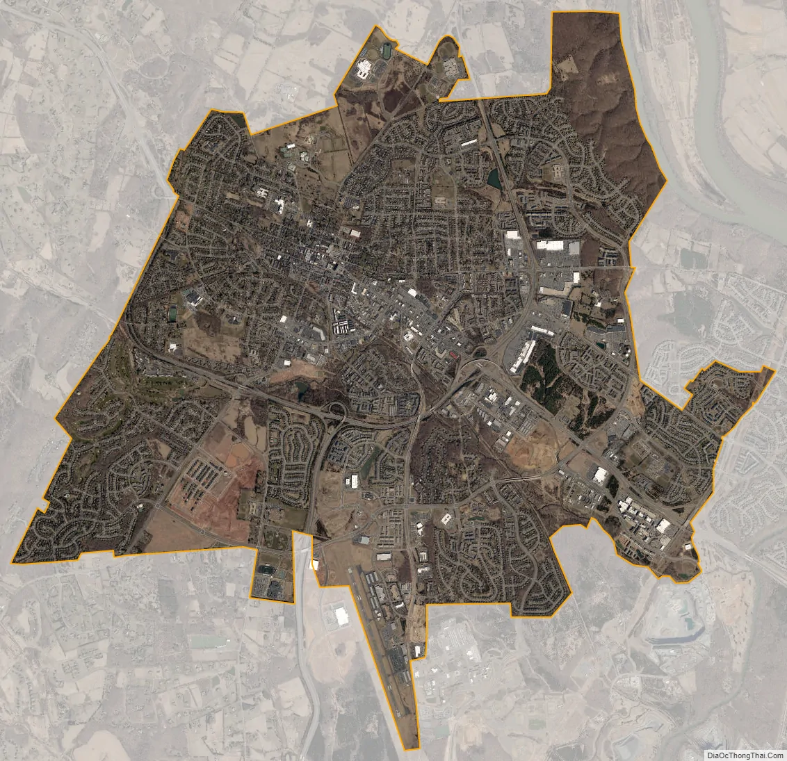
Leesburg city Satellite Map
Geography
Leesburg is located northeast of the center of Loudoun County at 39°7′N 77°33′W / 39.117°N 77.550°W / 39.117; -77.550 (39.109, −77.558), It is part of the northern Virginia Piedmont and sits at the base of the easternmost chain of the Blue Ridge Mountains, Catoctin Mountain. The town lies in the Culpeper Basin (an inland sea during the Jurassic period) and is adjacent to the valley of the Potomac River, so that the local relief is less pronounced than in other Virginia Piedmont towns. Elevation in town ranges from about 350 to 400 feet (110 to 120 m), with the ridge of Catoctin Mountain rising to 670 feet (200 m) just west of the town limits. The Town Branch of Tuscarora Creek passes through the center of town, flowing east to Goose Creek, a tributary of the Potomac.
According to the United States Census Bureau, the town has a total area of 12.4 square miles (32 km), of which 0.06 square miles (0.16 km), or 0.54%, are water.
See also
Map of Virginia State and its subdivision:- Accomack
- Albemarle
- Alexandria
- Alleghany
- Amelia
- Amherst
- Appomattox
- Arlington
- Augusta
- Bath
- Bedford
- Bedford City
- Bland
- Botetourt
- Bristol
- Brunswick
- Buchanan
- Buckingham
- Buena Vista
- Campbell
- Caroline
- Carroll
- Charles City
- Charlotte
- Charlottesville
- Chesapeake
- Chesterfield
- Clarke
- Clifton Forge City
- Colonial Heights
- Covington
- Craig
- Culpeper
- Cumberland
- Danville
- Dickenson
- Dinwiddie
- Emporia
- Essex
- Fairfax
- Fairfax City
- Falls Church
- Fauquier
- Floyd
- Fluvanna
- Franklin
- Frederick
- Fredericksburg
- Galax
- Giles
- Gloucester
- Goochland
- Grayson
- Greene
- Greensville
- Halifax
- Hampton
- Hanover
- Harrisonburg
- Henrico
- Henry
- Highland
- Hopewell
- Isle of Wight
- James City
- King and Queen
- King George
- King William
- Lancaster
- Lee
- Lexington
- Loudoun
- Louisa
- Lunenburg
- Lynchburg
- Madison
- Manassas
- Manassas Park
- Martinsville
- Mathews
- Mecklenburg
- Middlesex
- Montgomery
- Nelson
- New Kent
- Newport News
- Norfolk
- Northampton
- Northumberland
- Norton
- Nottoway
- Orange
- Page
- Patrick
- Petersburg
- Pittsylvania
- Poquoson
- Portsmouth
- Powhatan
- Prince Edward
- Prince George
- Prince William
- Pulaski
- Radford
- Rappahannock
- Richmond
- Roanoke
- Roanoke City
- Rockbridge
- Rockingham
- Russell
- Salem
- Scott
- Shenandoah
- Smyth
- Southampton
- Spotsylvania
- Stafford
- Staunton
- Suffolk
- Surry
- Sussex
- Tazewell
- Virginia Beach
- Warren
- Washington
- Waynesboro
- Westmoreland
- Williamsburg
- Winchester
- Wise
- Wythe
- York
- Alabama
- Alaska
- Arizona
- Arkansas
- California
- Colorado
- Connecticut
- Delaware
- District of Columbia
- Florida
- Georgia
- Hawaii
- Idaho
- Illinois
- Indiana
- Iowa
- Kansas
- Kentucky
- Louisiana
- Maine
- Maryland
- Massachusetts
- Michigan
- Minnesota
- Mississippi
- Missouri
- Montana
- Nebraska
- Nevada
- New Hampshire
- New Jersey
- New Mexico
- New York
- North Carolina
- North Dakota
- Ohio
- Oklahoma
- Oregon
- Pennsylvania
- Rhode Island
- South Carolina
- South Dakota
- Tennessee
- Texas
- Utah
- Vermont
- Virginia
- Washington
- West Virginia
- Wisconsin
- Wyoming