Map of Tampico CDP, Washington
Tampico is a census-designated place and unincorporated community in Yakima County, Washington, United States, located approximately eighteen miles west of Yakima on Ahtanum Creek. The population was 312 at the 2010 United States Census. Tampico CDP overview: Name: Tampico CDP LSAD Code: 57 LSAD Description: CDP (suffix) State: Washington County: Yakima County Total Area: 312 ... Read more
Map of Tampico CDP, Washington
Map of Town and Country CDP, Washington
Town and Country (often referred to locally as ‘Lynwood’) is a census-designated place (CDP) in Spokane County, Washington, United States. The population was 5,068 at the 2020 census. Town and Country CDP overview: Name: Town and Country CDP LSAD Code: 57 LSAD Description: CDP (suffix) State: Washington County: Spokane County Elevation: 2,060 ft (628 m) Total Area: ... Read more
Map of Town and Country CDP, Washington
Map of Taholah CDP
Taholah is a census-designated place (CDP) on the Quinault Indian Reservation, in Grays Harbor County, Washington, United States. Named for a Quinault chief in 1905, its population was 840 at the 2010 census. The headquarters for the Quinault Indian Nation was moved to Taholah from the town of Quinault on the shore of Lake Quinault. ... Read more
Map of Taholah CDP
Map of Swede Heaven CDP
Swede Heaven is a census-designated place (CDP) in Snohomish County, Washington, United States. The population was 768 at the 2010 census. Swede Heaven CDP overview: Name: Swede Heaven CDP LSAD Code: 57 LSAD Description: CDP (suffix) State: Washington County: Snohomish County Elevation: 413 ft (126 m) Total Area: 7.014 sq mi (18.17 km²) Land Area: 7.007 sq mi (18.15 km²) Water Area: 0.007 sq mi ... Read more
Map of Swede Heaven CDP
Map of Torboy CDP
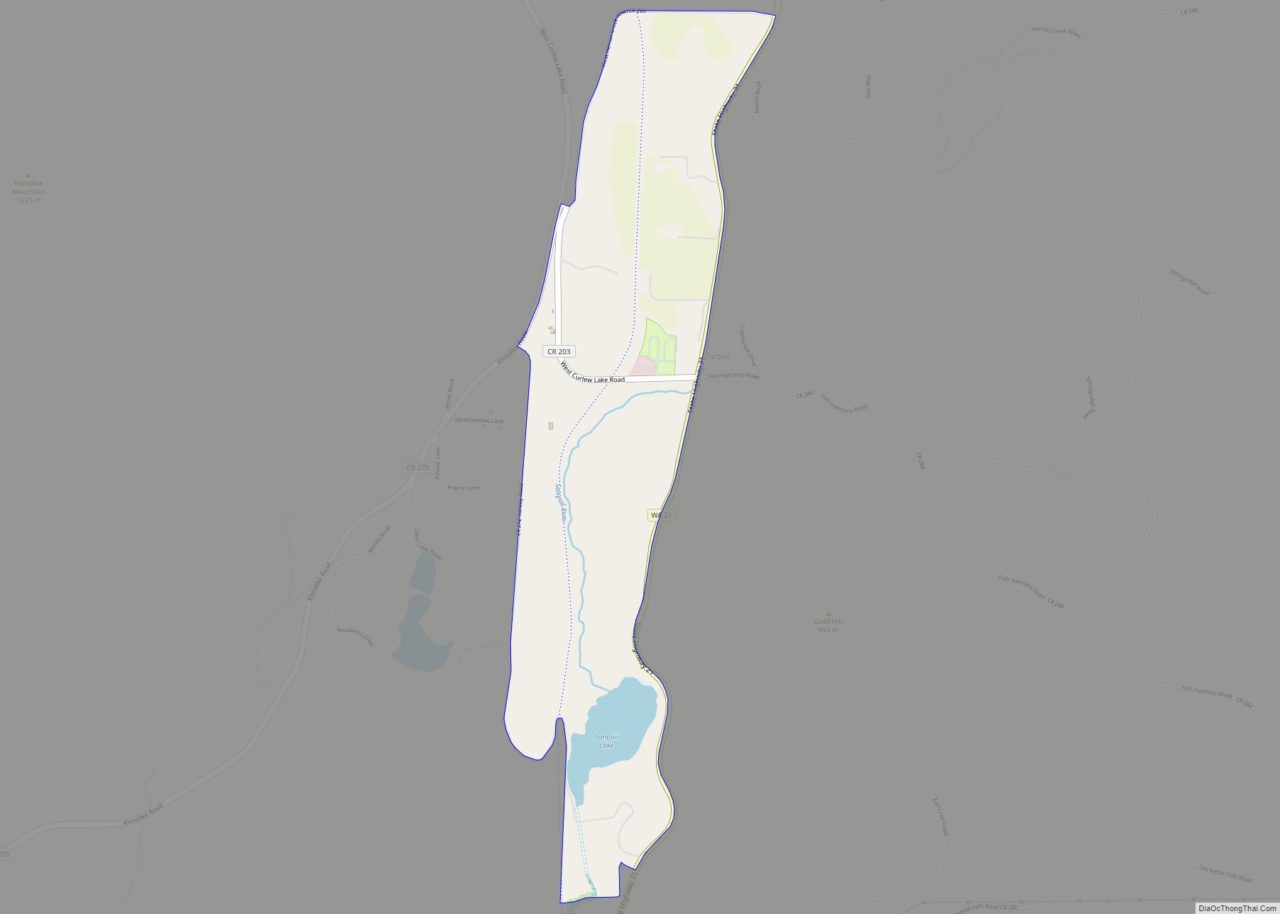
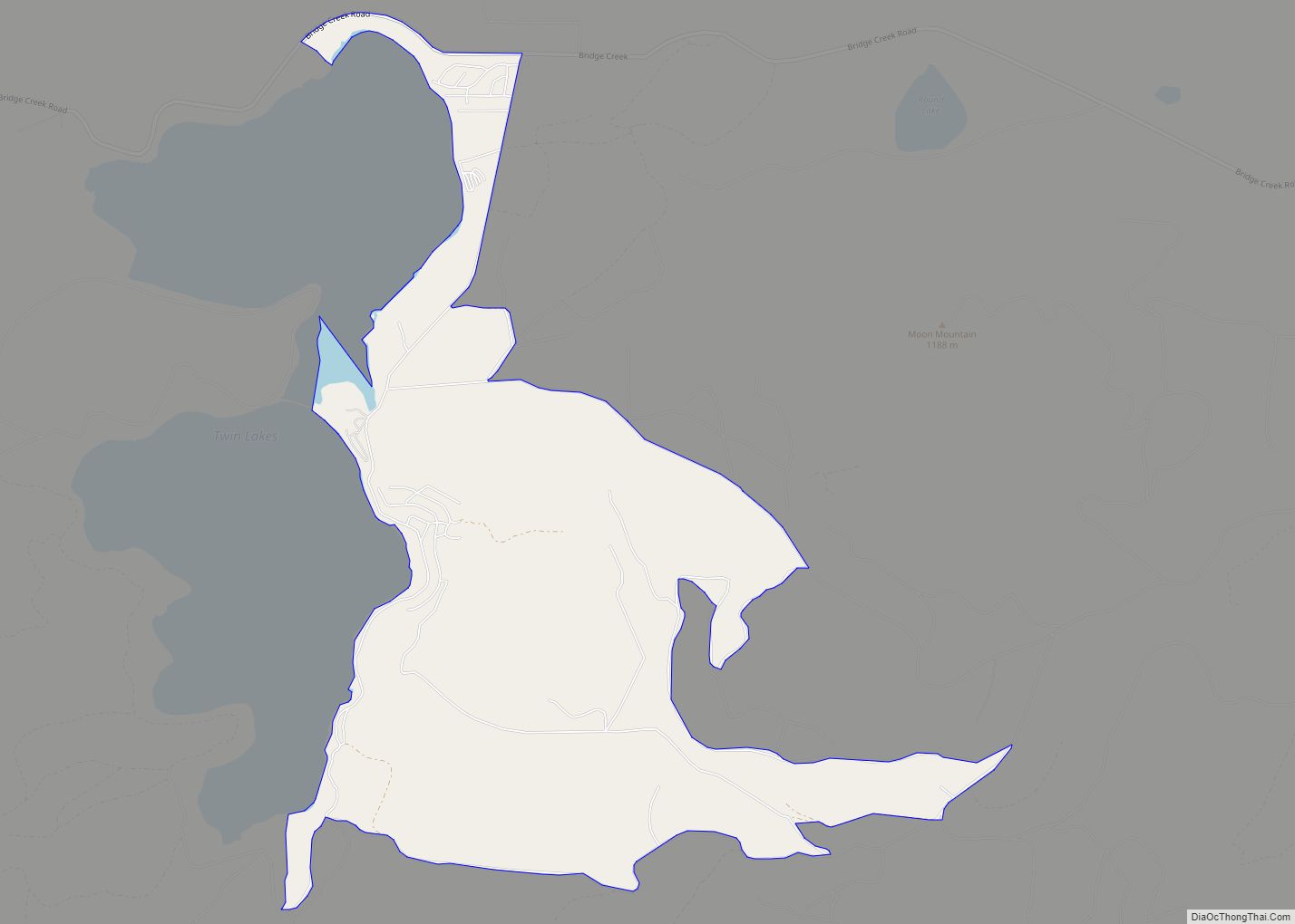
Torboy is a census-designated place in Ferry County, Washington, United States. Torboy CDP overview: Name: Torboy CDP LSAD Code: 57 LSAD Description: CDP (suffix) State: Washington County: Ferry County Elevation: 2,425 ft (739 m) Total Area: 0.95 sq mi (2.47 km²) Land Area: 0.93 sq mi (2.40 km²) Water Area: 0.03 sq mi (0.07 km²) Total Population: 49 Population Density: 53/sq mi (20.4/km²) Area code: 360 FIPS ... Read more
Map of Torboy CDP
Map of Suquamish CDP
Suquamish is a census-designated place (CDP) in Kitsap County, Washington, United States. The population was 4,140 at the 2010 census. Comprising the Port Madison Indian Reservation, it is the burial site of Chief Seattle and the site of the Suquamish tribe winter longhouse known as Old Man House. Suquamish CDP overview: Name: Suquamish CDP LSAD ... Read more
Map of Suquamish CDP
Map of Vader city
Vader is a city in Lewis County, Washington, United States. The population was 629 at the 2020 census. Vader city overview: Name: Vader city LSAD Code: 25 LSAD Description: city (suffix) State: Washington County: Lewis County Elevation: 161 ft (49 m) Total Area: 0.93 sq mi (2.41 km²) Land Area: 0.93 sq mi (2.41 km²) Water Area: 0.00 sq mi (0.00 km²) Total Population: 629 Population ... Read more
Map of Vader city
Map of Upper Elochoman CDP
Upper Elochoman is a census-designated place (CDP) in Wahkiakum County, Washington, United States. The population was 193 at the 2010 census. The CDP includes the State Camp community. Upper Elochoman CDP overview: Name: Upper Elochoman CDP LSAD Code: 57 LSAD Description: CDP (suffix) State: Washington County: Wahkiakum County Elevation: 102 ft (31 m) Total Area: 193 Area ... Read more
Map of Upper Elochoman CDP
Map of University Place city
University Place is a city in Pierce County, Washington, United States. Its population was 34,866 at the 2020 census. Based on per capita income, University Place ranks 81st of 522 areas in the state of Washington to be ranked. University Place city overview: Name: University Place city LSAD Code: 25 LSAD Description: city (suffix) State: ... Read more
Map of University Place city
Map of Uniontown town, Washington
Uniontown town overview: Name: Uniontown town LSAD Code: 43 LSAD Description: town (suffix) State: Washington County: Whitman County FIPS code: 5373360 Online Interactive Map Uniontown online map. Source: Basemap layers from Google Map, Open Street Map (OSM), Arcgisonline, Wmflabs. Boundary Data from Database of Global Administrative Areas. Uniontown location map. Where is Uniontown town? Uniontown ... Read more
Map of Uniontown town, Washington
Map of Union CDP, Washington
Union or Union City is a small census-designated place in Mason County, Washington, United States. The community lies along the southern shore of the Great Bend of the Hood Canal, near the mouth of the Skokomish River, which flows from the nearby Olympic Mountains. The U.S. Census reported a population of 631 inhabitants in the ... Read more
Map of Union CDP, Washington
Map of Union Hill-Novelty Hill CDP
Union Hill-Novelty Hill is a census-designated place (CDP) in King County, Washington, United States. The area was first recognized by the Census Bureau in the 2000 census. The population was 18,805 at the 2010 census. Based on per capita income, Union Hill-Novelty Hill ranks 5th of 522 areas in the state of Washington to be ... Read more
Map of Union Hill-Novelty Hill CDP