Toppenish (/ˈtɒppənɪʃ/) is a city in Yakima County, Washington. As of the 2020 census, the city population was 8,854. It is located within the Yakama Indian Reservation, established in 1855.
Toppenish calls itself the city of Murals, as it has more than 75 murals adorning its buildings. The first, “Clearing the Land”, was painted in 1989, and the city hosts horse-drawn tours and annual art events. All historically accurately depict scenes of the region from 1840 to 1940.
| Name: | Toppenish city |
|---|---|
| LSAD Code: | 25 |
| LSAD Description: | city (suffix) |
| State: | Washington |
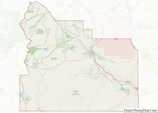
| County: | Yakima County |
| Founded: | 1884 |
| Incorporated: | April 29, 1907 |
| Elevation: | 758 ft (231 m) |
| Total Area: | 2.13 sq mi (5.53 km²) |
| Land Area: | 2.13 sq mi (5.53 km²) |
| Water Area: | 0.00 sq mi (0.00 km²) |
| Total Population: | 8,854 |
| Population Density: | 4,126.00/sq mi (1,592.75/km²) |
| ZIP code: | 98948 |
| Area code: | 509 |
| FIPS code: | 5371960 |
| GNISfeature ID: | 1512732 |
| Website: | cityoftoppenish.us |
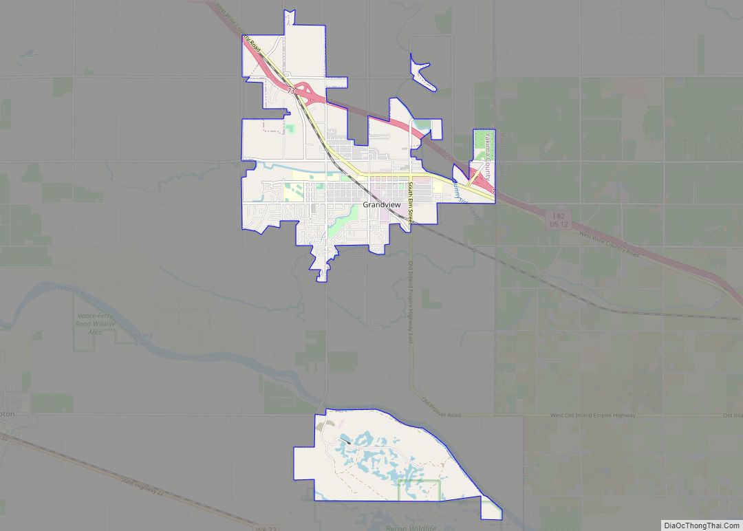
Online Interactive Map
Click on ![]() to view map in "full screen" mode.
to view map in "full screen" mode.
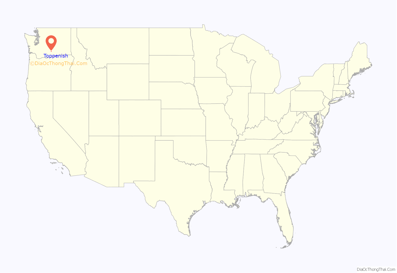
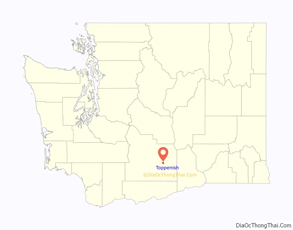
Toppenish location map. Where is Toppenish city?
History
All territory set aside for the Yakama Indian Reservation by the Treaty of Washington was held communally in the name of the tribe. None of the land was individually owned. The treaty of 1855, between the United States government, representatives from thirteen other bands, tribes, and Chief Kamiakin, resulted in the Yakama Nation relinquishing 16,920 square miles (43,800 km) of their homeland. Prior to their ceding the land, only Native Americans had lived in the area.
For a time they were not much disturbed, but the railroad was constructed into the area in 1883. More white settlers migrated into the region, looking for farming land, and joined the ranchers in older settlements bordering the Columbia River.
The Dawes Act of 1887 was part of federal legislation designed to force assimilation to European-American ways by Native Americans. Specifically, it was designed to break up the communal tribal land of Native American reservations and allot portions to individual households of tribal members, in order to encourage subsistence farming in the European-American style and familiarity with western conceptions of property. Lands declared excess by the government to this allotment were available for sale to anyone, and European Americans had been demanding more land in the West for years. Under varying conditions, Native American landowners were to be allowed to sell their plots.
Josephine Bowser Lillie was among Native Americans granted an 80-acre (320,000 m) allotment of land within the Yakama Reservation. Of mixed Native American/European ancestry and Yakama identification, she is known as “The Mother of Toppenish.” She platted the north 40 acres (160,000 m) of her land. These tracts became the first deeded land to be sold on the Yakama Nation Reservation.
A driving figure in Toppenish’s early development was William Leslie Shearer (October 31, 1862 – June 5, 1922). Since Toppenish had no church in 1897 Shearer obtained permission from the Northern Pacific Railroad Company and offered the freight room for religious services. Following this, he helped organize the first Methodist Church and, as trustee, was instrumental in the construction of a building that would house the church and also serve as school classrooms until a separate schoolhouse could be built. The building was completed in time for the 1898-1899 school term.
After leaving the employment of the railroad, Shearer, with Frank J. Lemon as his partner, opened Toppenish’s first drugstore in 1905. About a year later, Shearer sold out, turning his attention to the newly organized Yakima Produce and Trading company, with George Plank, A.W. McDonald and M. McDonald as partners. The company bought some acreage and leased more sagebrush land to develop the 1700-acre ranch near Satus Station. Shearer had a system of irrigation ditches constructed leading from Satus Creek to the acreage.
Toppenish was officially incorporated on April 29, 1907, and founded by Johnny Barnes. The city lies inside the boundaries of the Yakama Nation’s Reservation.
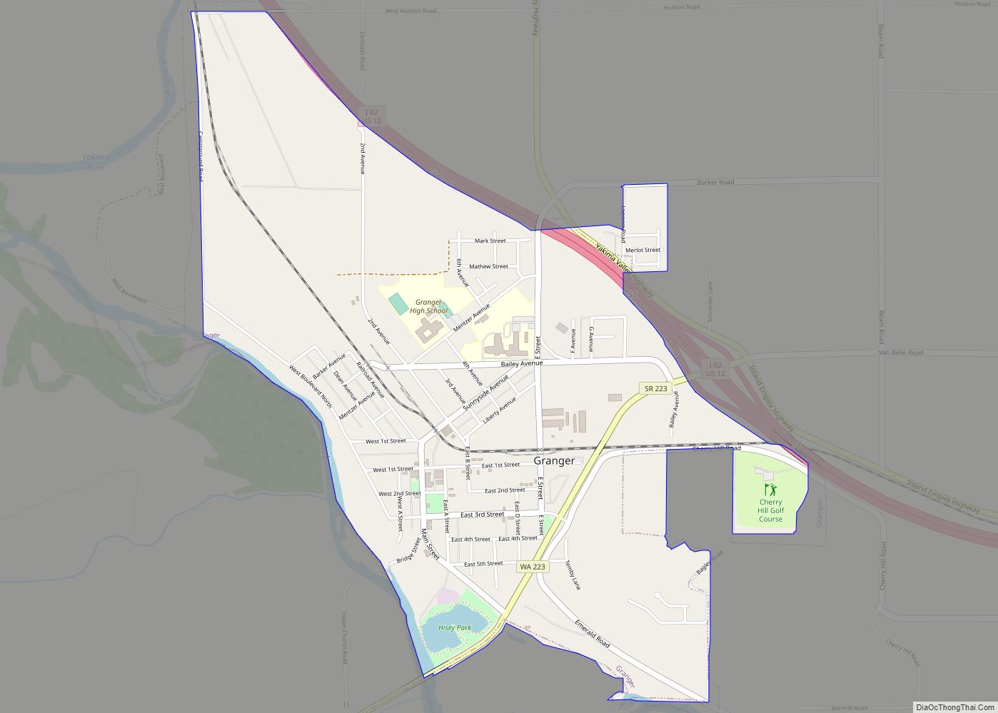
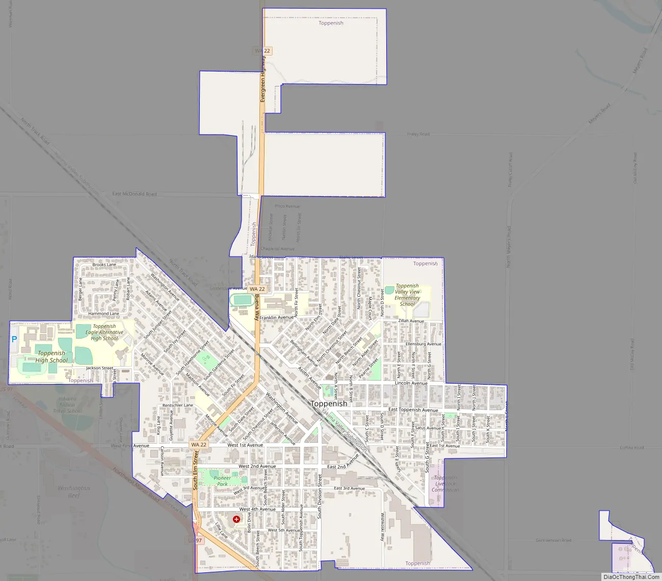
Toppenish Road Map
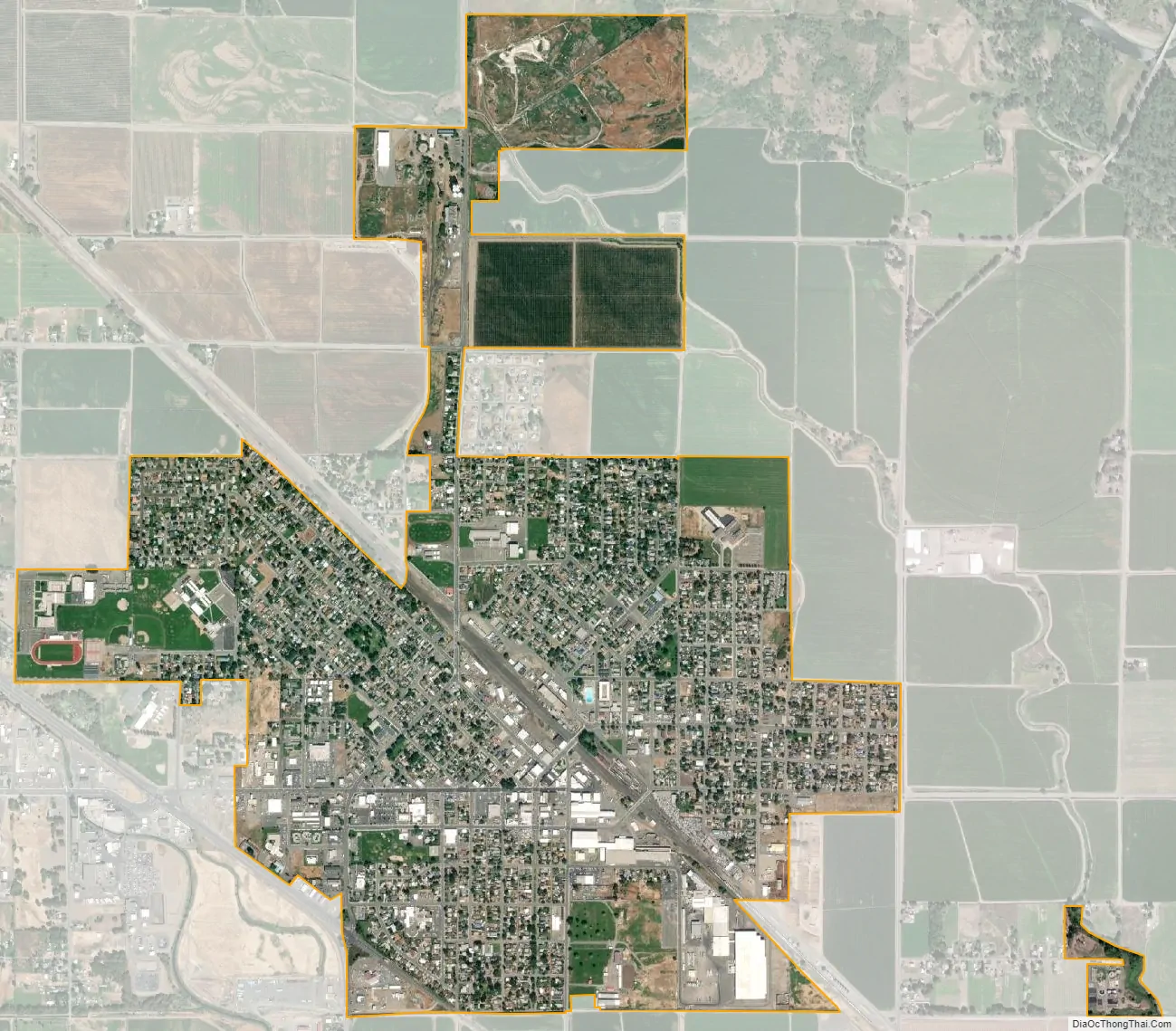
Toppenish city Satellite Map
Geography
Toppenish is located at 46°22′44″N 120°18′43″W / 46.37889°N 120.31194°W / 46.37889; -120.31194 (46.378880, -120.311823).
According to the United States Census Bureau, the city has a total area of 2.09 square miles (5.41 km), all of it land.
See also
Map of Washington State and its subdivision:- Adams
- Asotin
- Benton
- Chelan
- Clallam
- Clark
- Columbia
- Cowlitz
- Douglas
- Ferry
- Franklin
- Garfield
- Grant
- Grays Harbor
- Island
- Jefferson
- King
- Kitsap
- Kittitas
- Klickitat
- Lewis
- Lincoln
- Mason
- Okanogan
- Pacific
- Pend Oreille
- Pierce
- San Juan
- Skagit
- Skamania
- Snohomish
- Spokane
- Stevens
- Thurston
- Wahkiakum
- Walla Walla
- Whatcom
- Whitman
- Yakima
- Alabama
- Alaska
- Arizona
- Arkansas
- California
- Colorado
- Connecticut
- Delaware
- District of Columbia
- Florida
- Georgia
- Hawaii
- Idaho
- Illinois
- Indiana
- Iowa
- Kansas
- Kentucky
- Louisiana
- Maine
- Maryland
- Massachusetts
- Michigan
- Minnesota
- Mississippi
- Missouri
- Montana
- Nebraska
- Nevada
- New Hampshire
- New Jersey
- New Mexico
- New York
- North Carolina
- North Dakota
- Ohio
- Oklahoma
- Oregon
- Pennsylvania
- Rhode Island
- South Carolina
- South Dakota
- Tennessee
- Texas
- Utah
- Vermont
- Virginia
- Washington
- West Virginia
- Wisconsin
- Wyoming