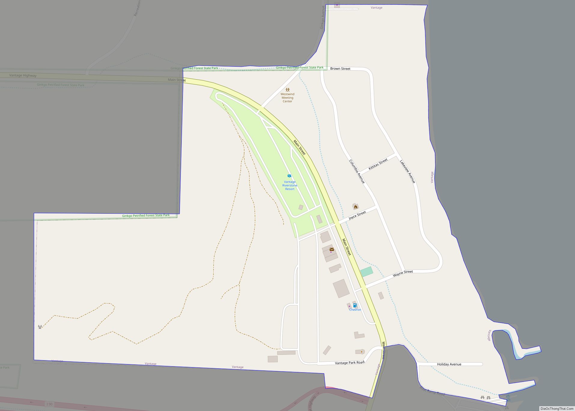
Vantage is a census-designated place (CDP) in Kittitas County, Washington, United States. The population was 74 at the 2010 census. Vantage CDP overview: Name: Vantage CDP LSAD Code: 57 LSAD Description: CDP (suffix) State: Washington County: Kittitas County Elevation: 663 ft (202 m) Total Area: 0.3 sq mi (0.8 km²) Land Area: 0.3 sq mi (0.8 km²) Water Area: 0.0 sq mi (0.0 km²) Total Population: ... Read more
Washington Cities and Places
Wauna is a census-designated place in Pierce County, Washington, United States with a 2010 census population of 4,186. Wauna CDP overview: Name: Wauna CDP LSAD Code: 57 LSAD Description: CDP (suffix) State: Washington County: Pierce County Elevation: 16 ft (5 m) Total Area: 6.39 sq mi (16.54 km²) Total Population: 4,186 Population Density: 660/sq mi (250/km²) ZIP code: 98395 FIPS code: ... Read more
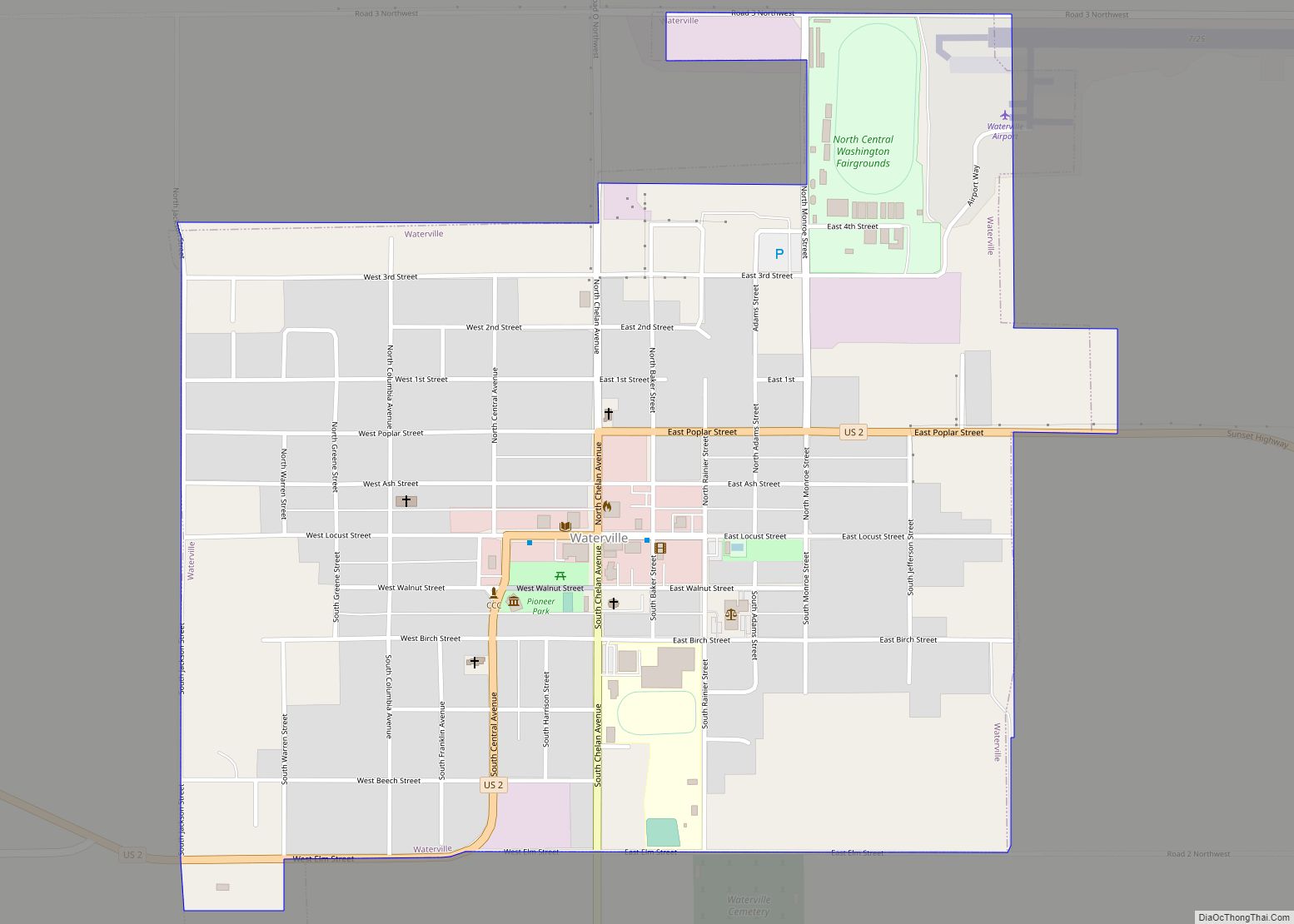
Waterville town overview: Name: Waterville town LSAD Code: 43 LSAD Description: town (suffix) State: Washington County: Douglas County FIPS code: 5376510 Online Interactive Map Waterville online map. Source: Basemap layers from Google Map, Open Street Map (OSM), Arcgisonline, Wmflabs. Boundary Data from Database of Global Administrative Areas. Waterville location map. Where is Waterville town? Waterville ... Read more
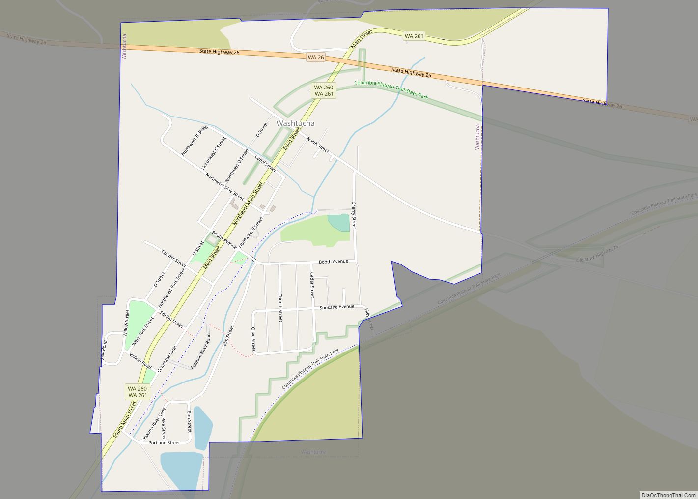
Washtucna town overview: Name: Washtucna town LSAD Code: 43 LSAD Description: town (suffix) State: Washington County: Adams County FIPS code: 5376440 Online Interactive Map Washtucna online map. Source: Basemap layers from Google Map, Open Street Map (OSM), Arcgisonline, Wmflabs. Boundary Data from Database of Global Administrative Areas. Washtucna location map. Where is Washtucna town? Washtucna ... Read more
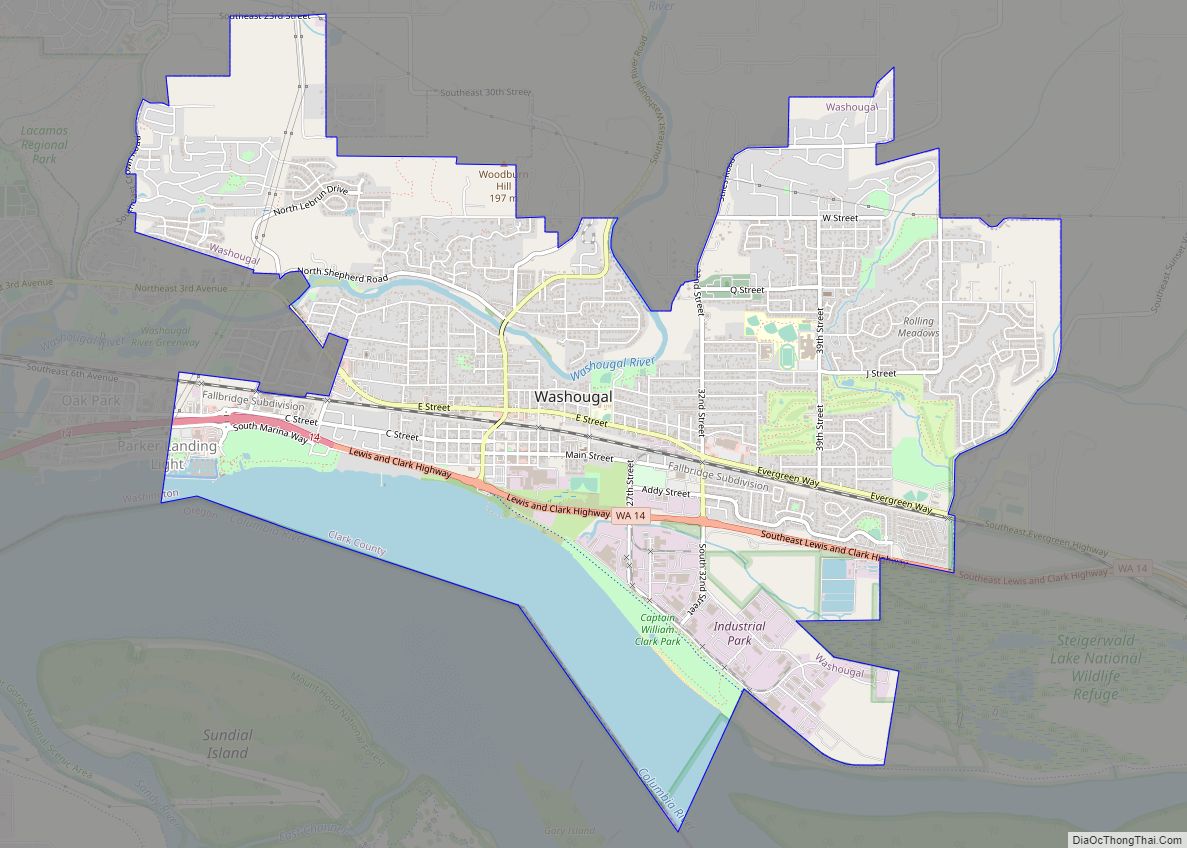
Washougal (/wɑːˈʃuːɡəl/ wah-SHOO-gəl) is a city in Clark County, Washington, United States. The population was 17,039 as of the 2020 census. Washougal city overview: Name: Washougal city LSAD Code: 25 LSAD Description: city (suffix) State: Washington County: Clark County Elevation: 79 ft (24 m) Total Area: 6.83 sq mi (17.68 km²) Land Area: 5.95 sq mi (15.41 km²) Water Area: 0.88 sq mi (2.27 km²) Total ... Read more
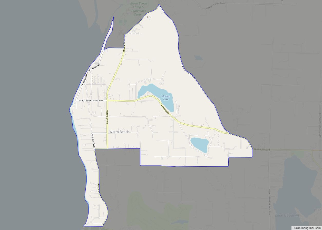
Warm Beach is a census-designated place (CDP) in Snohomish County, Washington, United States. The population was 2,437 at the 2010 census. Based on per capita income, one of the more reliable measures of affluence, Warm Beach ranks 66th of 522 areas in the state of Washington to be ranked. Warm Beach is home to the ... Read more
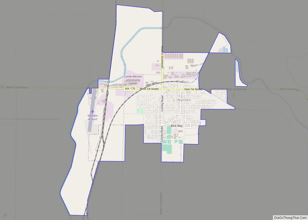
Warden is a city in Grant County, Washington, United States. The population was 2,449 at the 2020 census. Warden city overview: Name: Warden city LSAD Code: 25 LSAD Description: city (suffix) State: Washington County: Grant County Elevation: 1,302 ft (397 m) Total Area: 2.95 sq mi (7.65 km²) Land Area: 2.93 sq mi (7.60 km²) Water Area: 0.02 sq mi (0.05 km²) Total Population: 2,449 Population ... Read more
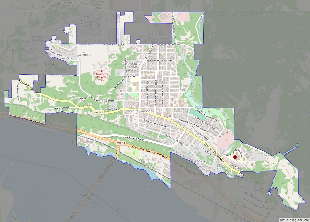
White Salmon is a city in Klickitat County, Washington, United States. It is located in the Columbia River Gorge. The population was 2,193 at the 2000 census and increased 1.4% to 2,224 at the 2010 census. White Salmon city overview: Name: White Salmon city LSAD Code: 25 LSAD Description: city (suffix) State: Washington County: Klickitat ... Read more
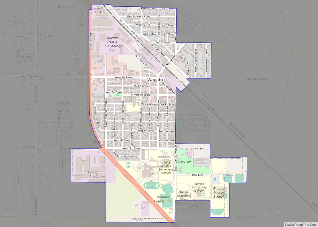
Wapato is a town in Yakima County, Washington, United States. The population was 4,607 at the 2020 census. It has a Hispanic majority. Wapato city overview: Name: Wapato city LSAD Code: 25 LSAD Description: city (suffix) State: Washington County: Yakima County Founded: 1885 Incorporated: September 16, 1908 Elevation: 856 ft (261 m) Total Area: 1.16 sq mi (2.99 km²) Land ... Read more
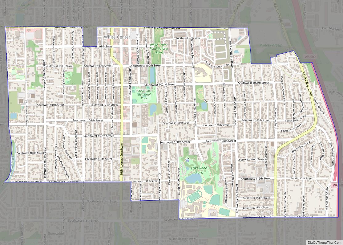
White Center is a census-designated place (CDP) in King County, Washington, United States. It lies between West Seattle and Burien. The population was 16,631 at the 2020 census. White Center is sometimes referred to by the nickname “Rat City” due to the historical presence of a military Relocation and Training Center during World War II. ... Read more
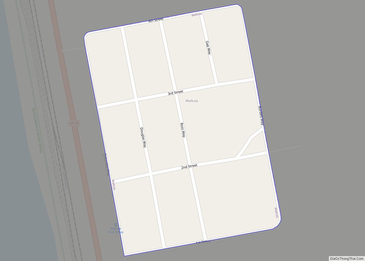
Wallula (/wəˈluːlʌ/) is a census-designated place (CDP) in Walla Walla County, Washington, United States. The population was 179 at the 2010 census. Wallula CDP overview: Name: Wallula CDP LSAD Code: 57 LSAD Description: CDP (suffix) State: Washington County: Walla Walla County Elevation: 423 ft (129 m) Total Area: 0.1 sq mi (0.3 km²) Land Area: 0.1 sq mi (0.3 km²) Water Area: 0.0 sq mi ... Read more
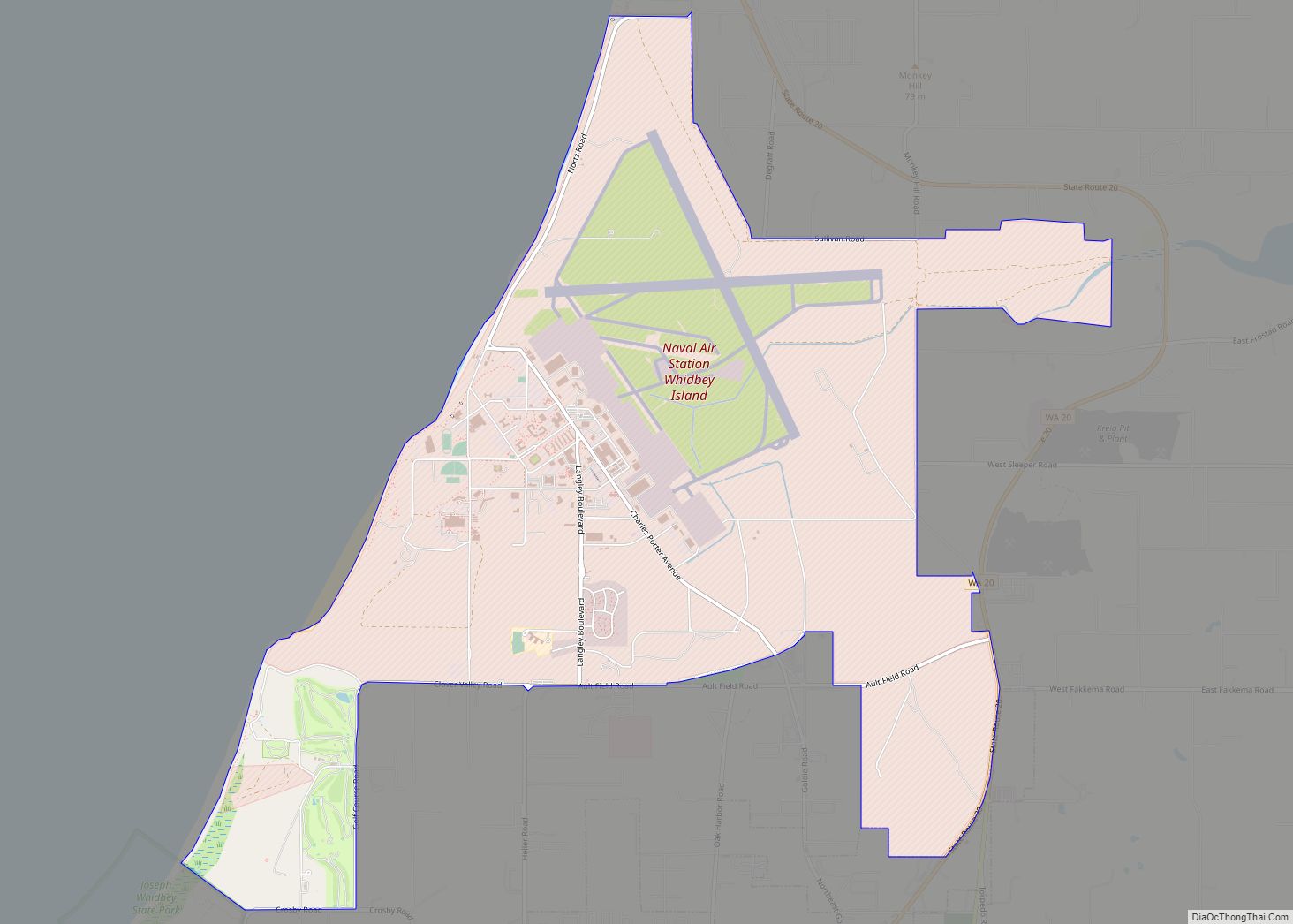
Naval Air Station Whidbey Island (NASWI) (IATA: NUW, ICAO: KNUW, FAA LID: NUW) is a naval air station of the United States Navy located on two pieces of land near Oak Harbor, on Whidbey Island, in Island County, Washington. The main portion of the base, Ault Field, is about three miles north of Oak Harbor. ... Read more
