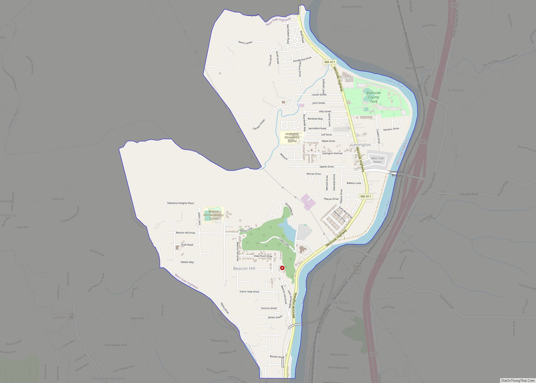
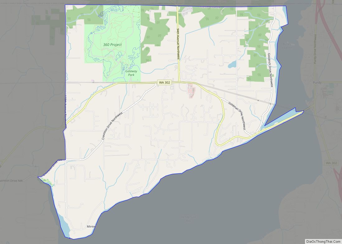
West Side Highway was a census-designated place (CDP) in Cowlitz County, Washington, named after a state highway (SR 411) running north–south between Longview and Castle Rock. As of the 2010 census, the CDP population was 5,517. Prior to the 2020 census, the CDP was split into two new CDPs, Beacon Hill and Lexington. West Side ... Read more
Washington Cities and Places
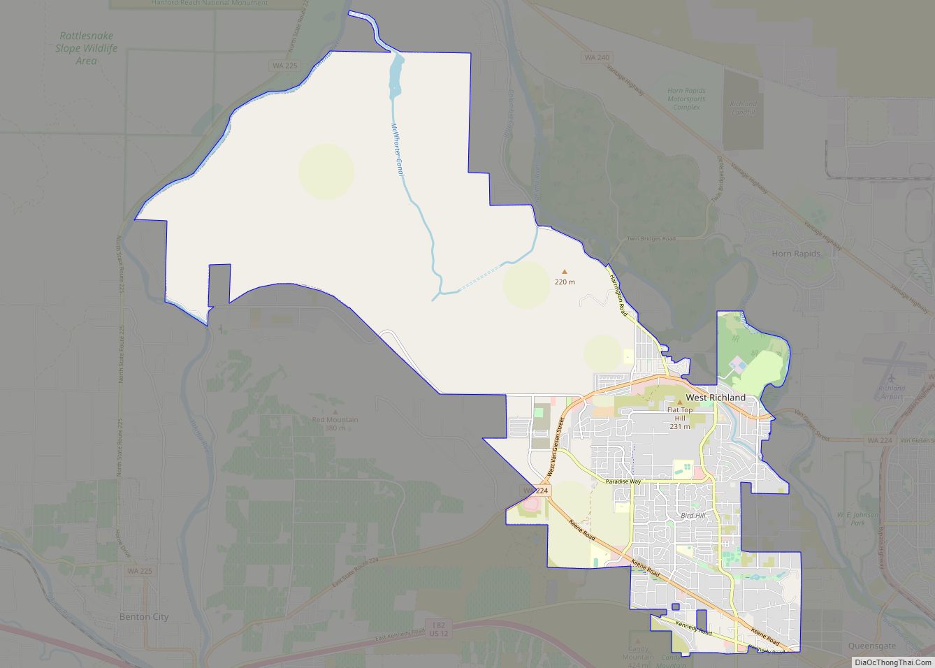
West Richland is a city in Benton County, Washington. The population was 16,295 at the time of the 2020 census. The city is part of the Tri-Cities metropolitan area, whose principal cities (the Tri-Cities) are Richland, Kennewick, and Pasco. West Richland city overview: Name: West Richland city LSAD Code: 25 LSAD Description: city (suffix) State: ... Read more
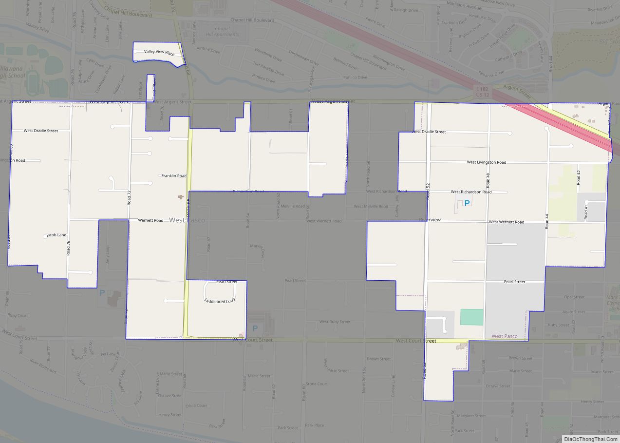
West Pasco is a census-designated place (CDP) in Franklin County, Washington, United States. The population was 3,739 at the 2010 census. Based on per capita income, one of the more reliable measures of affluence, West Pasco ranks 47th of 522 areas in the state of Washington to be ranked. It is also the highest rank ... Read more
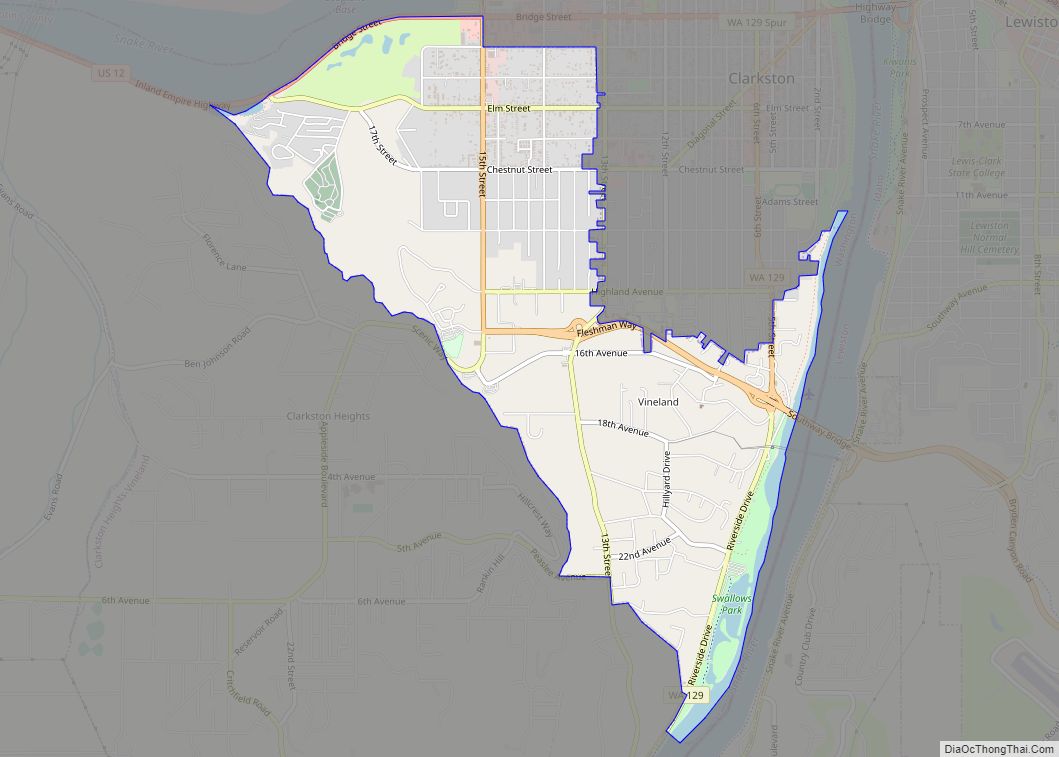
West Clarkston-Highland is a census-designated place (CDP) in Asotin County, Washington, United States. It is part of the Lewiston, ID-WA Metropolitan Statistical Area. The population was 5,488 at the 2020 census. West Clarkston-Highland CDP overview: Name: West Clarkston-Highland CDP LSAD Code: 57 LSAD Description: CDP (suffix) State: Washington County: Asotin County Total Area: 2.7 sq mi (6.9 km²) ... Read more
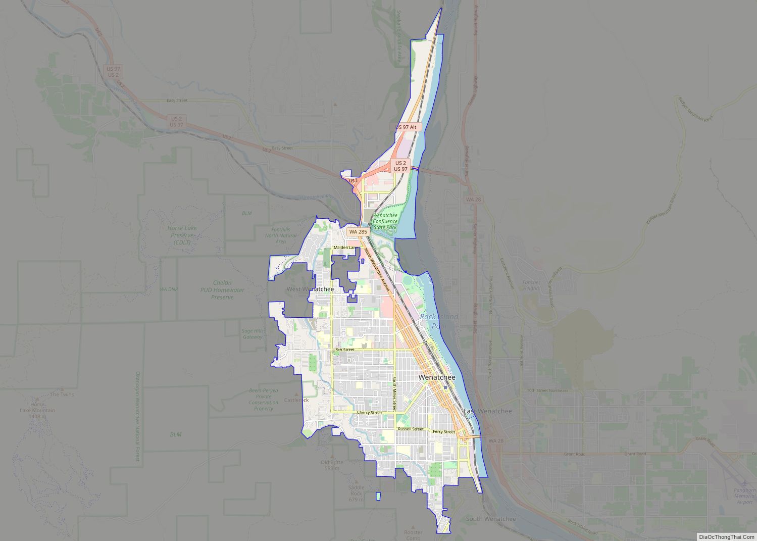
Wenatchee (/wɛˈnætʃiː/ weh-NA-tchee) is the county seat and largest city of Chelan County, Washington, United States. The population within the city limits in 2010 was 31,925, and has increased to 35,508 as of 2020. Located in the north-central part of the state, at the confluence of the Columbia and Wenatchee rivers near the eastern foothills ... Read more
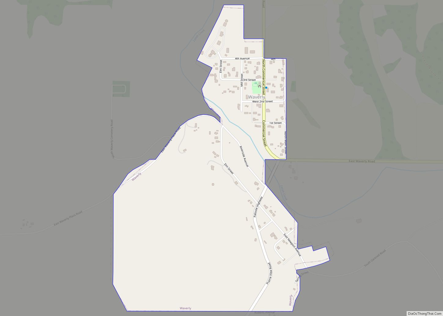
Waverly town overview: Name: Waverly town LSAD Code: 43 LSAD Description: town (suffix) State: Washington County: Spokane County FIPS code: 5376720 Online Interactive Map Waverly online map. Source: Basemap layers from Google Map, Open Street Map (OSM), Arcgisonline, Wmflabs. Boundary Data from Database of Global Administrative Areas. Waverly location map. Where is Waverly town? Waverly ... Read more
Wauna is a census-designated place in Pierce County, Washington, United States with a 2010 census population of 4,186. Wauna CDP overview: Name: Wauna CDP LSAD Code: 57 LSAD Description: CDP (suffix) State: Washington County: Pierce County Elevation: 16 ft (5 m) Total Area: 6.39 sq mi (16.54 km²) Total Population: 4,186 Population Density: 660/sq mi (250/km²) ZIP code: 98395 FIPS code: ... Read more
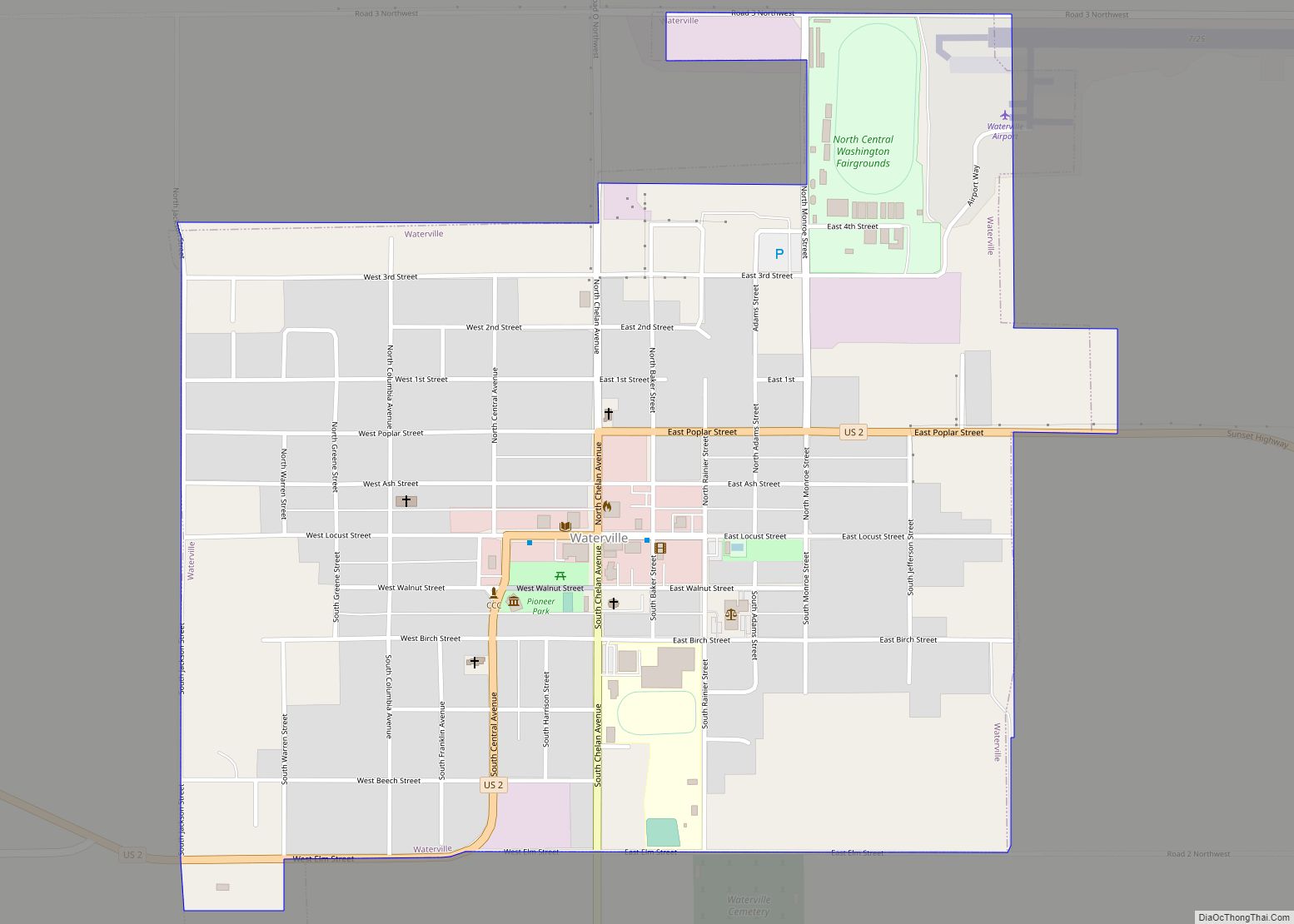
Waterville town overview: Name: Waterville town LSAD Code: 43 LSAD Description: town (suffix) State: Washington County: Douglas County FIPS code: 5376510 Online Interactive Map Waterville online map. Source: Basemap layers from Google Map, Open Street Map (OSM), Arcgisonline, Wmflabs. Boundary Data from Database of Global Administrative Areas. Waterville location map. Where is Waterville town? Waterville ... Read more
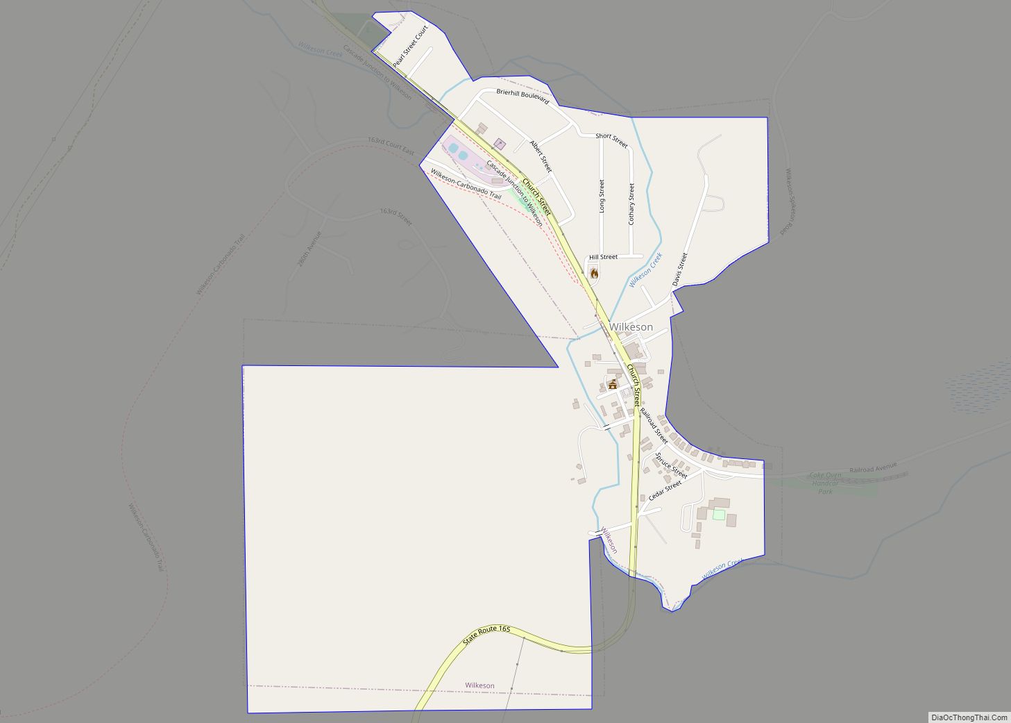
Wilkeson town overview: Name: Wilkeson town LSAD Code: 43 LSAD Description: town (suffix) State: Washington County: Pierce County FIPS code: 5378925 Online Interactive Map Wilkeson online map. Source: Basemap layers from Google Map, Open Street Map (OSM), Arcgisonline, Wmflabs. Boundary Data from Database of Global Administrative Areas. Wilkeson location map. Where is Wilkeson town? Wilkeson ... Read more
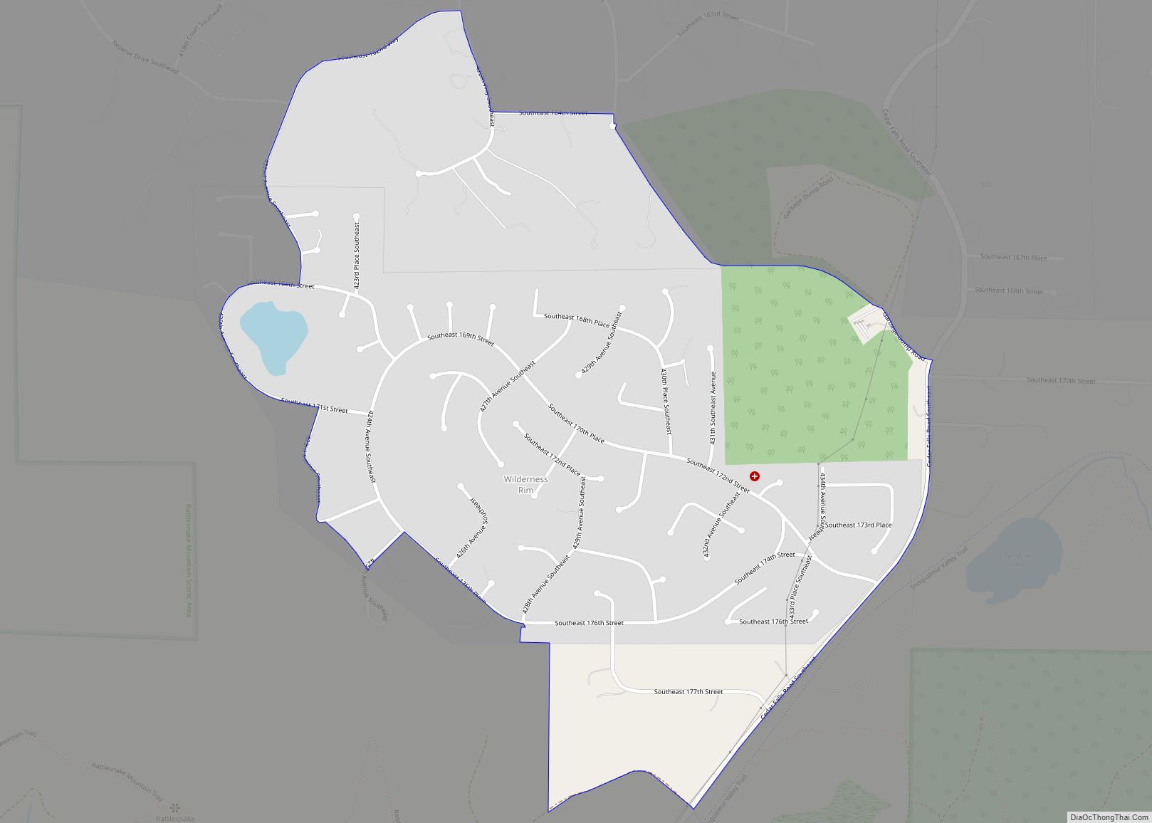
Wilderness Rim is a census-designated place (CDP) in King County, Washington, United States. It lies at an elevation of 1,043 feet (318 m). The population was 1,523 at the 2010 census. Wilderness Rim CDP overview: Name: Wilderness Rim CDP LSAD Code: 57 LSAD Description: CDP (suffix) State: Washington County: King County Elevation: 1,043 ft (318 m) Total Area: ... Read more
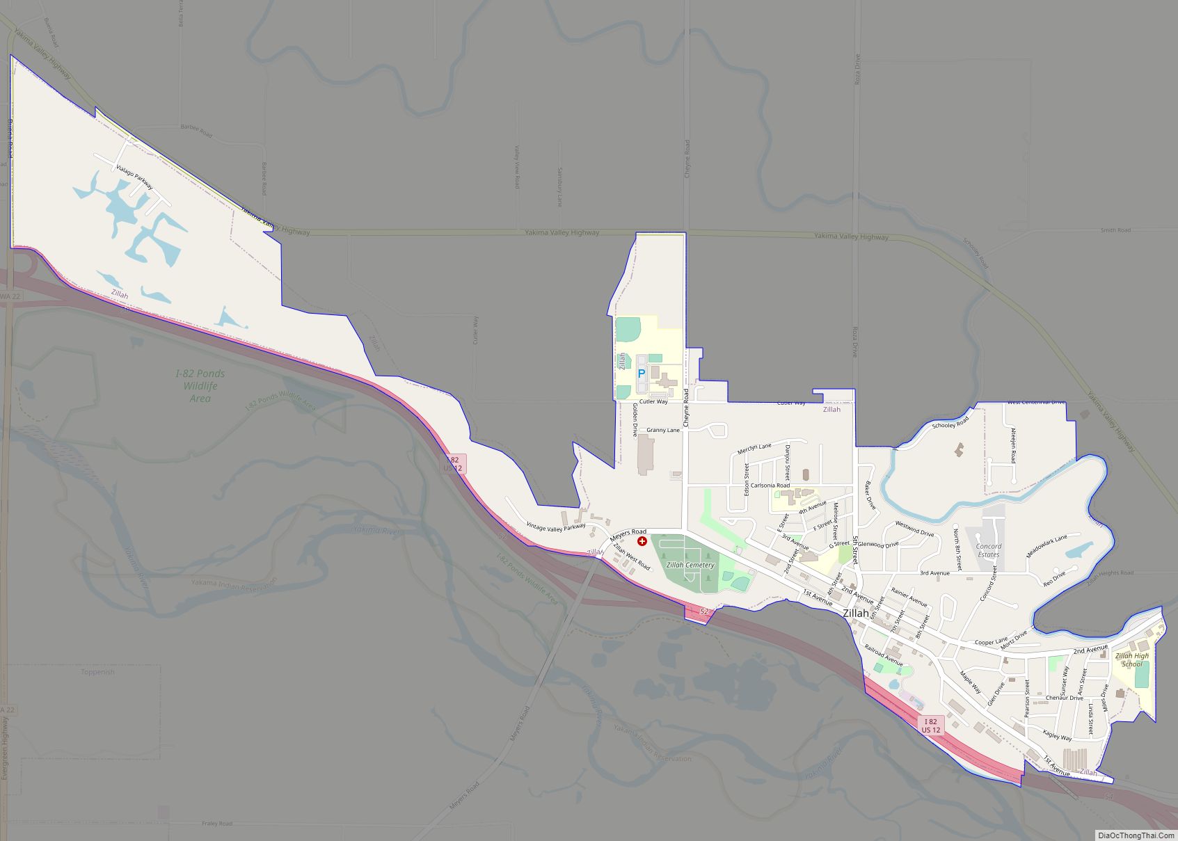
Zillah is a city in Yakima County, Washington, United States, with a population of 3,179 as of the 2020 census. Zillah city overview: Name: Zillah city LSAD Code: 25 LSAD Description: city (suffix) State: Washington County: Yakima County Founded: 1892 Incorporated: January 5, 1911 Elevation: 820 ft (250 m) Total Area: 1.82 sq mi (4.72 km²) Land Area: 1.82 sq mi (4.72 km²) ... Read more
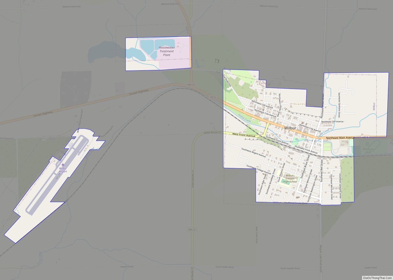
Wilbur town overview: Name: Wilbur town LSAD Code: 43 LSAD Description: town (suffix) State: Washington County: Lincoln County FIPS code: 5378680 Online Interactive Map Wilbur online map. Source: Basemap layers from Google Map, Open Street Map (OSM), Arcgisonline, Wmflabs. Boundary Data from Database of Global Administrative Areas. Wilbur location map. Where is Wilbur town? Wilbur ... Read more
