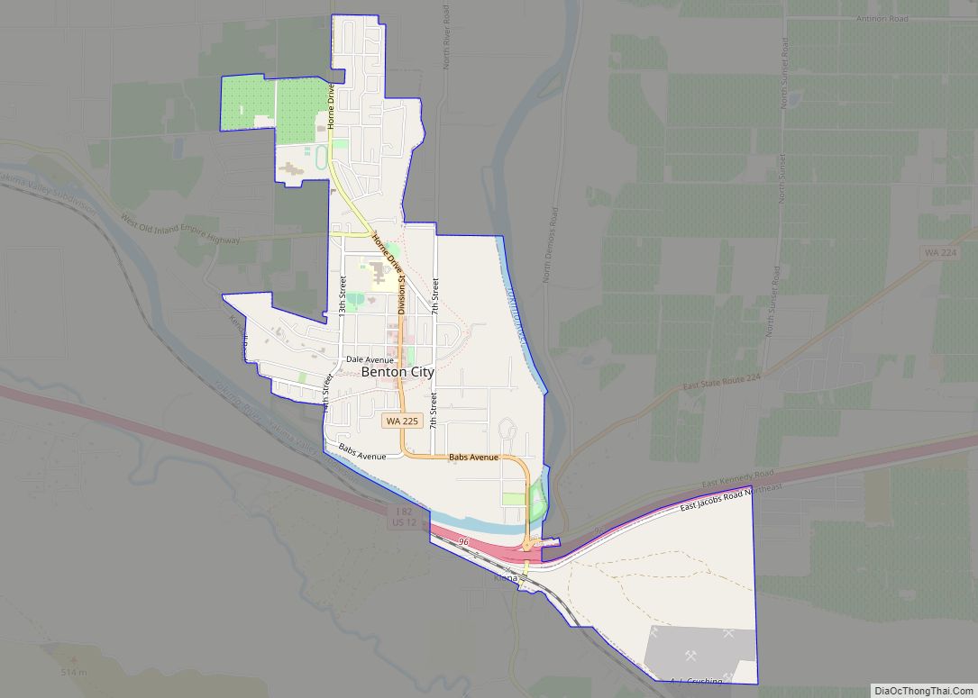
Map of Riverbend CDP, Washington

Map of Riverbend CDP, Washington

Riverbend is an unincorporated community and census-designated place (CDP) in King County, Washington, United States. The population was 2,132 at the 2010 census. Based on per capita income, one of the more reliable measures of affluence, Riverbend ranks 87th of 522 areas in the state of Washington to be ranked. Riverbend CDP overview: Name: Riverbend … Read more

Map of River Road CDP, Washington

Map of River Road CDP, Washington

River Road is a census-designated place (CDP) in Clallam County, Washington, United States. The population was 454 at the 2010 census. It is a primarily residential area next to the city of Sequim. River Road CDP overview: Name: River Road CDP LSAD Code: 57 LSAD Description: CDP (suffix) State: Washington County: Clallam County Elevation: 315 ft … Read more

Map of Ritzville city

Map of Ritzville city

Ritzville (/ˈrɪtsvɪl/) is a city in Adams County, Washington, United States. The population was 1,767 at the 2020 census. It is the county seat of Adams County. The city is part of the Othello, WA Micropolitan Area, which comprises all of Adams County, and is part of the larger Moses Lake-Othello, WA Combined Statistical Area. … Read more

Map of Ridgefield city, Washington

Map of Ridgefield city, Washington

Ridgefield is a city in northern Clark County, Washington, United States. The population was 10,319 at the time of the 2020 census, up from 4,763 in 2010, making it the fastest growing city in the state of Washington. Located within the Portland metropolitan area, Ridgefield is notable for the significant Native American history and connection … Read more

Map of Richland city, Washington

Map of Richland city, Washington

Richland (/ˈrɪtʃlənd/) is a city in Benton County, Washington, United States. It is located in southeastern Washington at the confluence of the Yakima and the Columbia Rivers. As of the 2020 census, the city’s population was 60,560. Along with the nearby cities of Pasco and Kennewick, Richland is one of the Tri-Cities, and is home … Read more

Map of Shadow Lake CDP

Map of Shadow Lake CDP

Shadow Lake is a census-designated place (CDP) in King County, Washington, United States. The population was 2,262 at the 2010 census. Shadow Lake CDP overview: Name: Shadow Lake CDP LSAD Code: 57 LSAD Description: CDP (suffix) State: Washington County: King County Elevation: 550 ft (170 m) Total Area: 5.33 sq mi (13.81 km²) Land Area: 5.19 sq mi (13.44 km²) Water Area: 0.14 sq mi … Read more

Map of Rosedale CDP, Washington

Map of Rosedale CDP, Washington

Rosedale is a census-designated place (CDP) located in Pierce County, Washington. A post office called Rosedale was established in 1887, and remained in operation until 1918. The community was named for roses near the original town site. Rosedale CDP overview: Name: Rosedale CDP LSAD Code: 57 LSAD Description: CDP (suffix) State: Washington County: Pierce County … Read more

Map of Sequim city

Map of Sequim city

Sequim (/ˈskwɪm/ (listen) SKWIM) is a city in Clallam County, Washington, United States. It is located along the Dungeness River near the base of the Olympic Mountains. The 2020 census counted a population of 8,018, with an estimated population in 2021 of 8,241. Sequim lies within the rain shadow of the Olympic Mountains and receives, … Read more

Map of Rosburg CDP

Map of Rosburg CDP

Rosburg is a Census-designated place (CDP) in Wahkiakum County, Washington, United States. Rosburg is located on the Grays River near Washington State Route 4, 15 miles (24 km) northwest of Cathlamet. Rosburg has a post office with ZIP code 98643. The CDP includes the communities of Eden and Oneida. Christian Rosburg, the town’s first postmaster, named … Read more

Map of Selah city

Map of Selah city

Selah is a city in Yakima County, Washington, United States. The population was 8,153 at the 2020 census. Selah city overview: Name: Selah city LSAD Code: 25 LSAD Description: city (suffix) State: Washington County: Yakima County Founded: 1871 Incorporated: March 17, 1919 Elevation: 1,119 ft (341 m) Total Area: 4.64 sq mi (12.01 km²) Land Area: 4.58 sq mi (11.86 km²) Water Area: … Read more

Map of Rosalia town, Washington

Map of Rosalia town, Washington

Rosalia town overview: Name: Rosalia town LSAD Code: 43 LSAD Description: town (suffix) State: Washington County: Whitman County FIPS code: 5359775 Online Interactive Map Rosalia online map. Source: Basemap layers from Google Map, Open Street Map (OSM), Arcgisonline, Wmflabs. Boundary Data from Database of Global Administrative Areas. Rosalia location map. Where is Rosalia town? Rosalia … Read more

Map of Sekiu CDP

Map of Sekiu CDP

Sekiu is an unincorporated community and census-designated place in Clallam County, Washington, United States. As of the 2010 census it had a population of 27. Overlooking the west side of Clallam Bay and the Strait of Juan de Fuca, it is twinned with the community of Clallam Bay, on the east side of the bay. … Read more