Battle Ground is a city in Clark County, Washington, United States. The population was 20,743 at the 2020 census. Between 2000 and 2005, Battle Ground ranked fourth in the state for population growth, out of 279 eligible incorporated communities. As of 2021, its population is 21,119.
| Name: | Battle Ground city |
|---|---|
| LSAD Code: | 25 |
| LSAD Description: | city (suffix) |
| State: | Washington |
| County: | Clark County |
| Elevation: | 295 ft (90 m) |
| Total Area: | 8.54 sq mi (22.13 km²) |
| Land Area: | 8.54 sq mi (22.13 km²) |
| Water Area: | 0.00 sq mi (0.00 km²) |
| Total Population: | 20,743 |
| Population Density: | 2,487.65/sq mi (960.47/km²) |
| ZIP code: | 98604 |
| Area code: | 360, 564 |
| FIPS code: | 5304475 |
| GNISfeature ID: | 1530801 |
| Website: | cityofbg.org |
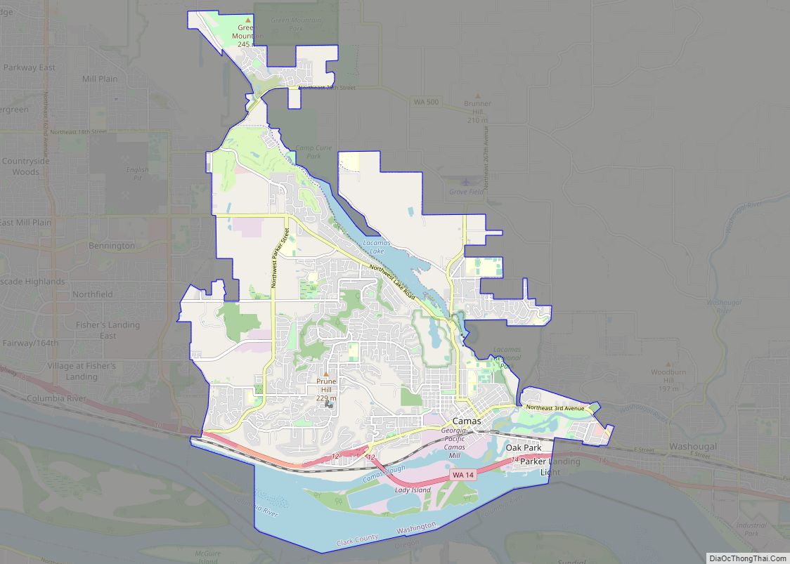
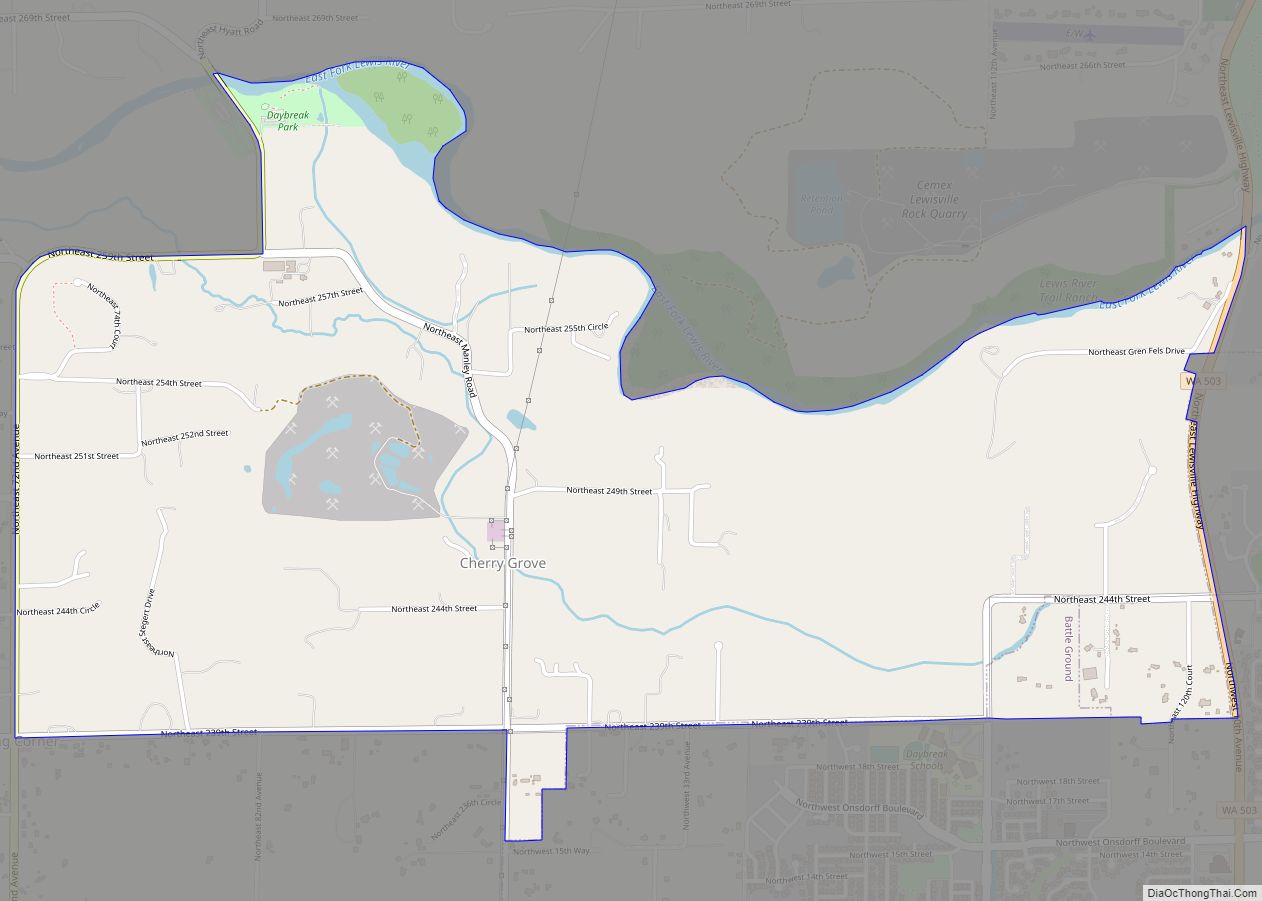
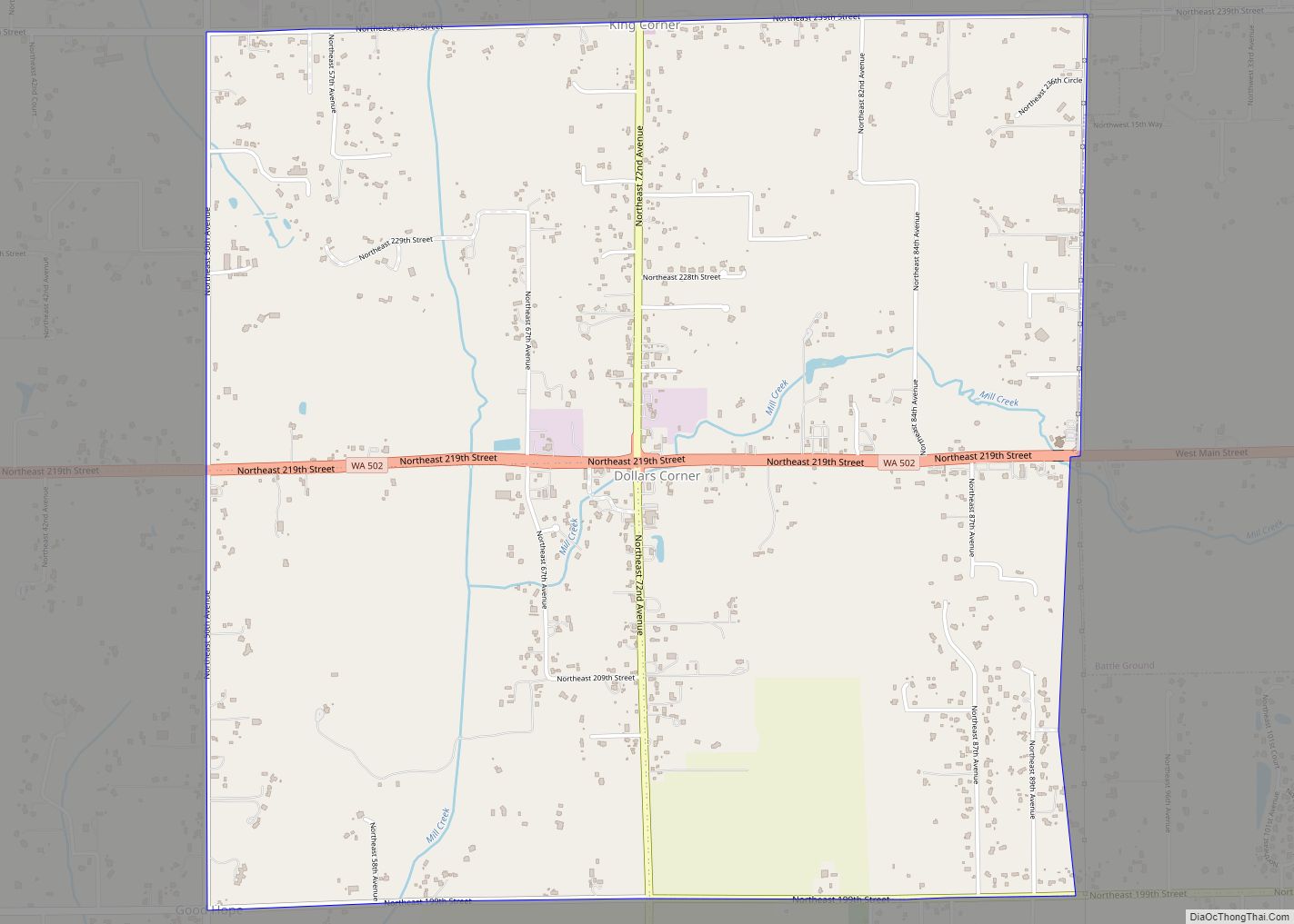
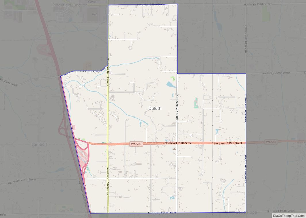
Online Interactive Map
Click on ![]() to view map in "full screen" mode.
to view map in "full screen" mode.
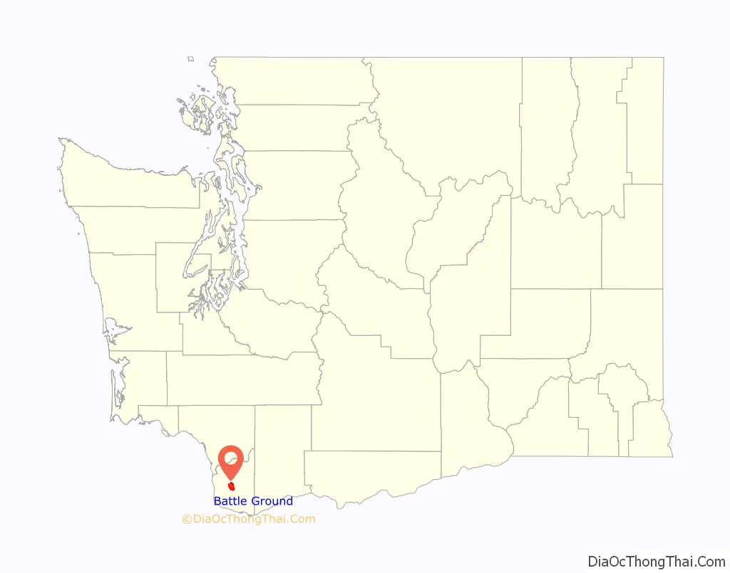
Battle Ground location map. Where is Battle Ground city?

History
Name
Battle Ground got its name from a standoff between a group of the Klickitat peoples and a military force from the Vancouver Barracks, which had recently transitioned to a U.S. Army post. In 1855, when this occurred, members of the Klickitat peoples had been imprisoned at the Vancouver Barracks. The hostile conditions of their detainment inspired some of the Klickitats to decamp.
This group of Klickitat peoples headed north, led by Chief Umtuch (or Umtux, according to some accounts). When the community at Fort Vancouver discovered this escape, they assembled an armed contingent led by Captain William Strong to pursue the Klickitats. After great difficulty, Captain Strong’s party found the Klickitats near the present-day location of downtown Battle Ground.
Details of the standoff that ensued vary. However, accounts agree that Chief Umtuch and Captain Strong engaged in some sort of negotiations which resulted in the Klickitats’ agreeing to return to the Barracks. After this decision though, at least one shot was fired that murdered Chief Umtuch, likely by one of Captain Strong’s soldiers.
The Klickitat asked Captain Strong to leave them alone so they could properly bury their chief. After some deliberation, Captain Strong agreed as long as the Klickitats promised to return to the Fort, which they did a couple of days later.
As a result of this event, settlers at the fort began to refer to that site as “Strong’s Battle Ground”, which was later shortened to “Battle Ground”.
Two currently operating schools in Battle Ground are named after Captain Strong and Chief Umtuch.
Early settlement
Battle Ground was first settled in 1886 by Augustus H. Richter, who platted the town in 1902. Battle Ground was officially incorporated on June 18, 1951. During early settlement in the area, large numbers of people populated Fort Vancouver and locations closer to the Columbia River.
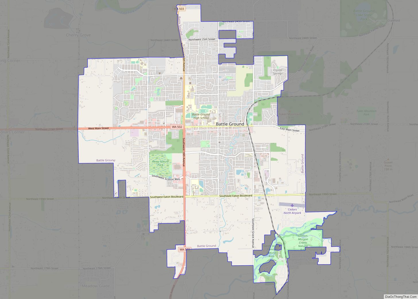
Battle Ground Road Map
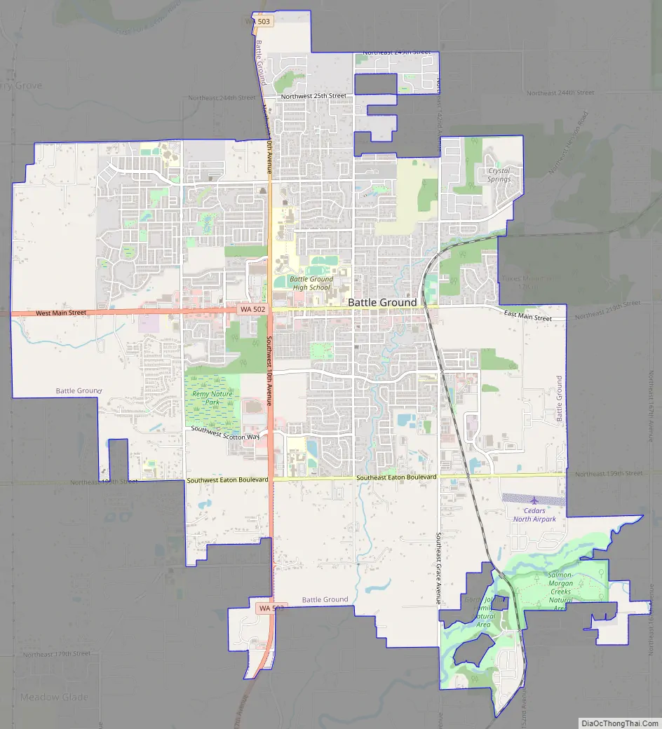
Battle Ground city Satellite Map

Geography
Battle Ground is located about 11 miles (18 km) north northeast of Vancouver, 32 miles (51 km) south southwest of Mount St. Helens. It is near the geographical center of Clark County.
According to the United States Census Bureau, the city has a total area of 7.16 square miles (18.54 km), all of its land.’
Climate
See also
Map of Washington State and its subdivision:- Adams
- Asotin
- Benton
- Chelan
- Clallam
- Clark
- Columbia
- Cowlitz
- Douglas
- Ferry
- Franklin
- Garfield
- Grant
- Grays Harbor
- Island
- Jefferson
- King
- Kitsap
- Kittitas
- Klickitat
- Lewis
- Lincoln
- Mason
- Okanogan
- Pacific
- Pend Oreille
- Pierce
- San Juan
- Skagit
- Skamania
- Snohomish
- Spokane
- Stevens
- Thurston
- Wahkiakum
- Walla Walla
- Whatcom
- Whitman
- Yakima
- Alabama
- Alaska
- Arizona
- Arkansas
- California
- Colorado
- Connecticut
- Delaware
- District of Columbia
- Florida
- Georgia
- Hawaii
- Idaho
- Illinois
- Indiana
- Iowa
- Kansas
- Kentucky
- Louisiana
- Maine
- Maryland
- Massachusetts
- Michigan
- Minnesota
- Mississippi
- Missouri
- Montana
- Nebraska
- Nevada
- New Hampshire
- New Jersey
- New Mexico
- New York
- North Carolina
- North Dakota
- Ohio
- Oklahoma
- Oregon
- Pennsylvania
- Rhode Island
- South Carolina
- South Dakota
- Tennessee
- Texas
- Utah
- Vermont
- Virginia
- Washington
- West Virginia
- Wisconsin
- Wyoming