Bothell (/ˈbɒθəl/) is a city in King and Snohomish counties in the U.S. state of Washington. It is part of the Seattle metropolitan area, situated near the northeast end of Lake Washington. As of the 2020 census, it had a population of 48,161 residents. Bothell city overview: Name: Bothell city LSAD Code: 25 LSAD Description: ... Read more
Washington Cities and Places
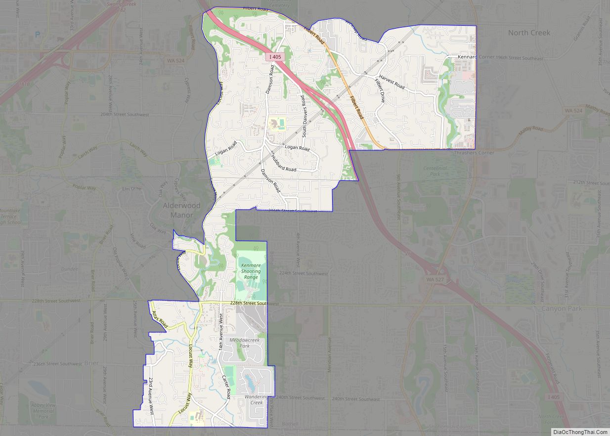
Bothell West is a census-designated place (CDP) in Snohomish County, Washington, United States. The population was 16,607 at the 2010 census. Bothell West is one of several CDPs that were created out of the former North Creek CDP in 2010. Bothell West, along with Bothell East, are recognized as part of unincorporated Bothell. Bothell West ... Read more
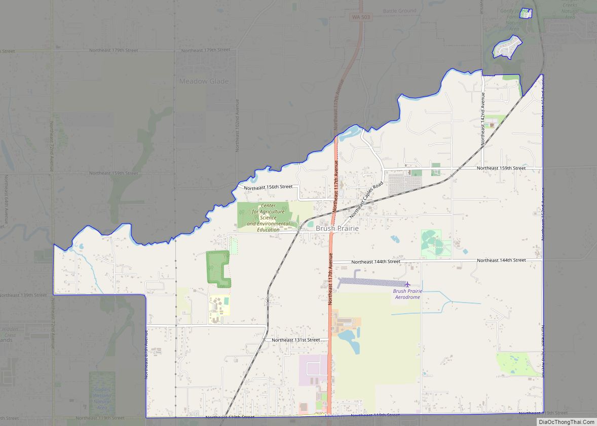
Brush Prairie is a census-designated place (CDP) in Clark County, Washington, United States. The population was 2,652 at the 2010 census, up from 2,384 at the 2000 census. Based on per capita income, one of the more reliable measures of affluence, Brush Prairie ranks 57th of 522 areas in the state of Washington to be ... Read more
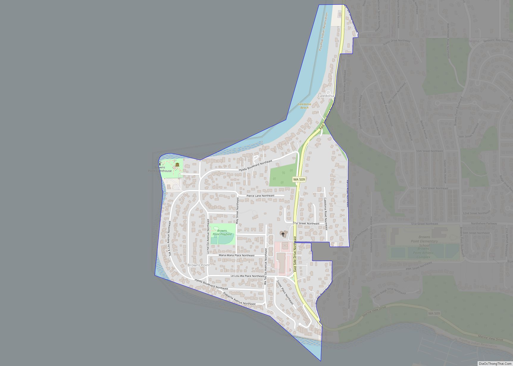
Browns Point is a census-designated place (CDP) in Pierce County, Washington, United States, bordered by Tacoma on the east and Puget Sound on all other sides. The population was 1,198 at the 2010 census. The Tacoma neighborhood immediately adjacent to Browns Point is also referred to locally as “Browns Point” (although it is also often ... Read more
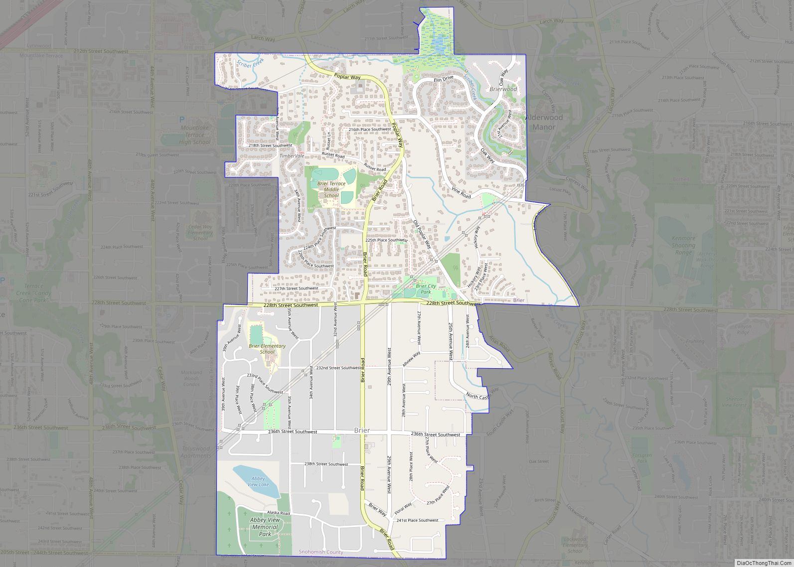
Brier is a city in Snohomish County, Washington, United States. It is bordered by Mountlake Terrace to the west, Lynnwood to the north, Bothell to the east, and Lake Forest Park to the south. The population was 6,087 at the 2010 census. Brier city overview: Name: Brier city LSAD Code: 25 LSAD Description: city (suffix) ... Read more
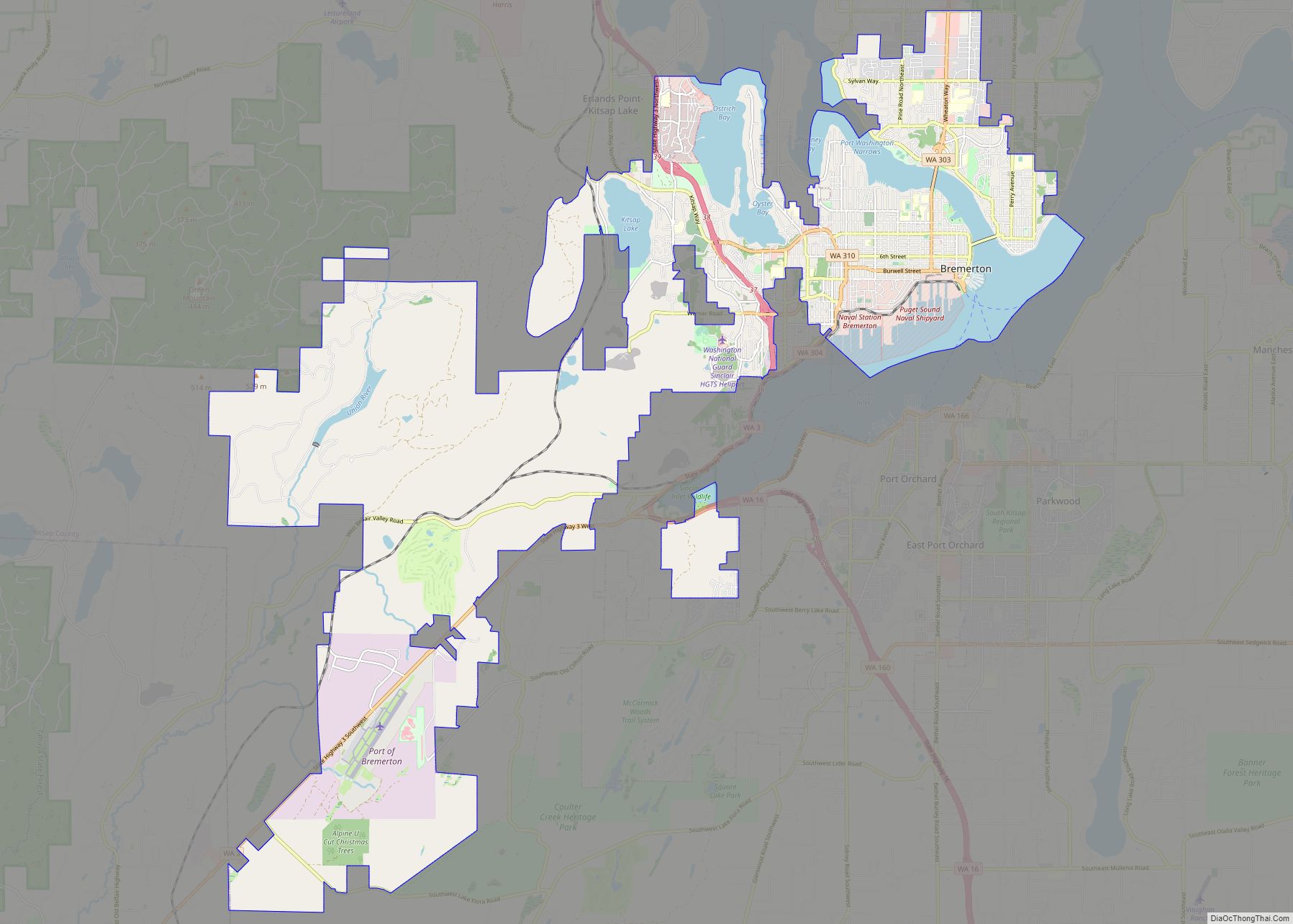
Bremerton is a city in Kitsap County, Washington. The population was 43,505 at the 2020 census and an estimated 44,122 in 2021, making it the largest city on the Kitsap Peninsula. Bremerton is home to Puget Sound Naval Shipyard and the Bremerton Annex of Naval Base Kitsap. Bremerton is connected to downtown Seattle by two ... Read more
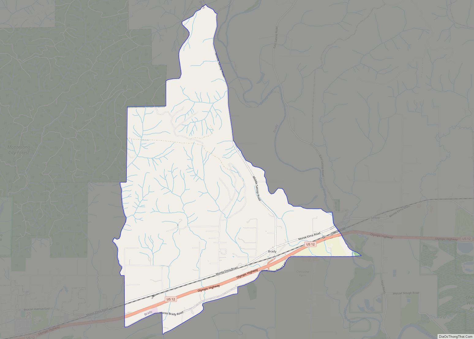
Brady is a census-designated place (CDP) in Grays Harbor County, Washington, United States. The population was 676 at the 2010 census. Brady CDP overview: Name: Brady CDP LSAD Code: 57 LSAD Description: CDP (suffix) State: Washington County: Grays Harbor County Elevation: 46 ft (14 m) Total Area: 6.14 sq mi (15.89 km²) Land Area: 6.11 sq mi (15.83 km²) Water Area: 0.02 sq mi (0.06 km²) ... Read more
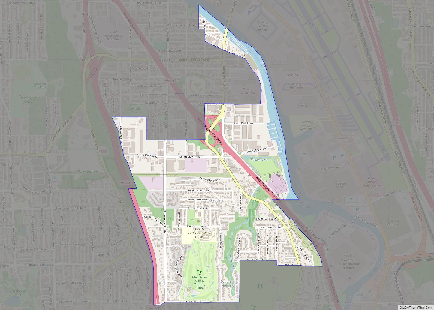
Boulevard Park is a census-designated place (CDP) in King County, Washington, United States. The population was 5,287 at the 2010 census. Boulevard Park was part of the Riverton-Boulevard Park CDP in 2000 but was split for the 2010 census into its own CDP. Boulevard Park CDP overview: Name: Boulevard Park CDP LSAD Code: 57 LSAD ... Read more
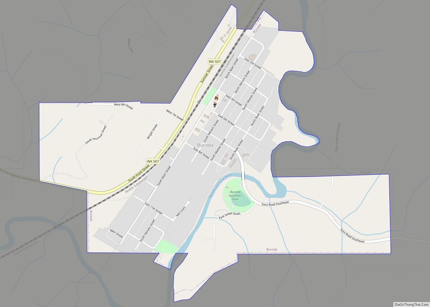
Bucoda town overview: Name: Bucoda town LSAD Code: 43 LSAD Description: town (suffix) State: Washington County: Thurston County FIPS code: 5308605 Online Interactive Map Bucoda online map. Source: Basemap layers from Google Map, Open Street Map (OSM), Arcgisonline, Wmflabs. Boundary Data from Database of Global Administrative Areas. Bucoda location map. Where is Bucoda town? Bucoda ... Read more
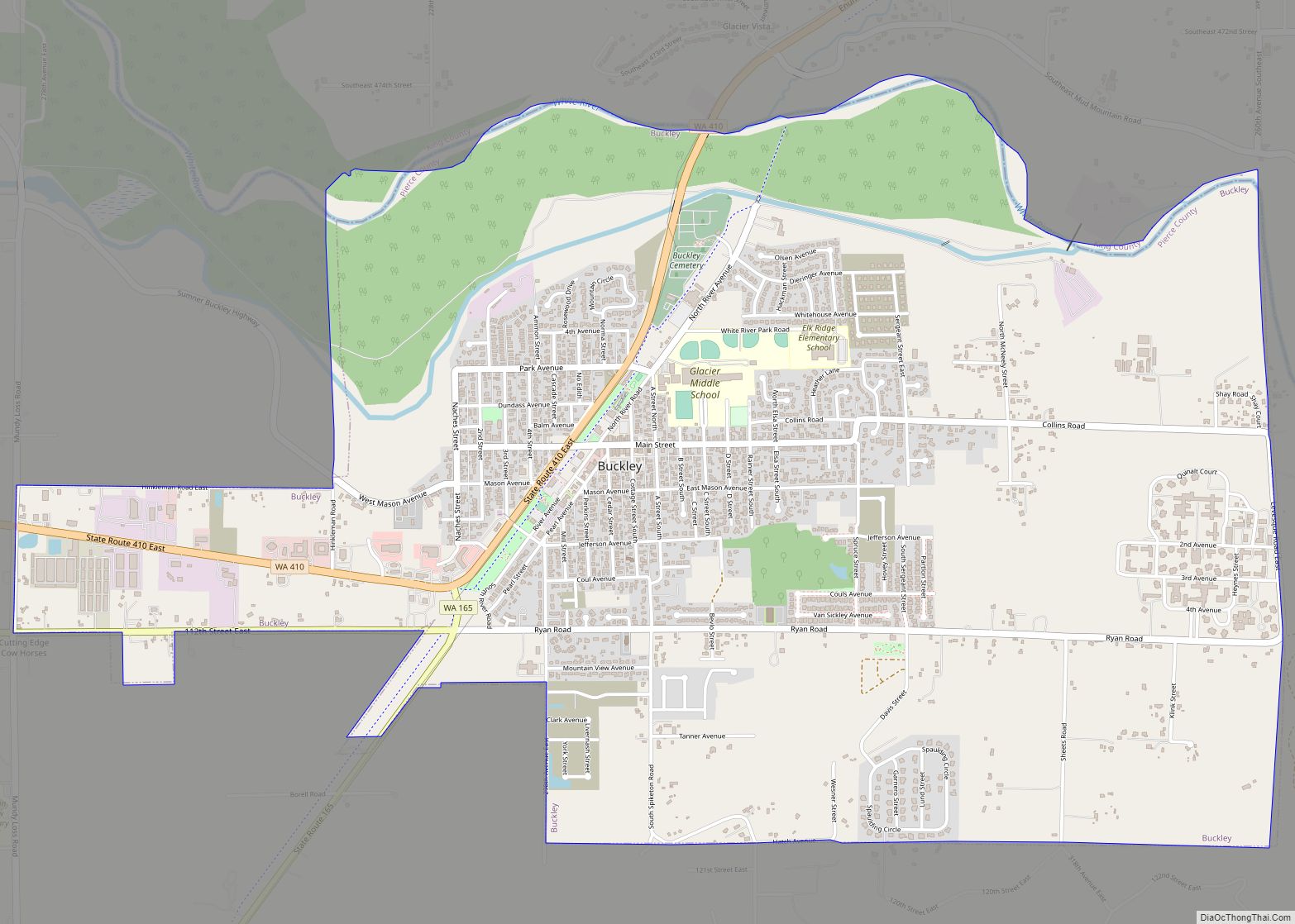
Buckley is a city in Pierce County, Washington, United States, founded in 1882. The population was 5,114 at the 2020 census. Buckley sits below Mount Rainier and is well known for hosting the annual Log Show. Buckley city overview: Name: Buckley city LSAD Code: 25 LSAD Description: city (suffix) State: Washington County: Pierce County Incorporated: ... Read more
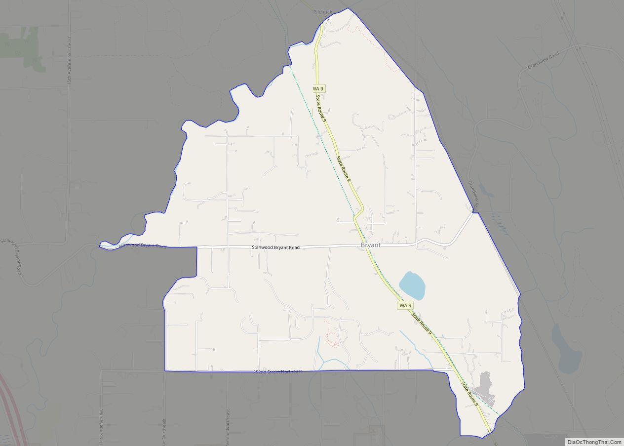
Bryant is a census-designated place (CDP) in Snohomish County, Washington, United States. The population was 1,870 at the 2010 census. A post office called Bryant was established in 1893, and remained in operation until 1954. The community most likely took its name from the Bryant Lumber and Shingle Company. Bryant CDP overview: Name: Bryant CDP ... Read more
Burlington is a city in Skagit County, Washington, United States. Its population was recorded as 9,152 in the 2020 census. Burlington is located approximately halfway between Seattle and Vancouver, B.C. The city is included in the Mount Vernon–Anacortes, Washington Metropolitan Statistical Area. Burlington city overview: Name: Burlington city LSAD Code: 25 LSAD Description: city (suffix) ... Read more

