Browns Point is a census-designated place (CDP) in Pierce County, Washington, United States, bordered by Tacoma on the east and Puget Sound on all other sides. The population was 1,198 at the 2010 census. The Tacoma neighborhood immediately adjacent to Browns Point is also referred to locally as “Browns Point” (although it is also often referred to as Northeast Tacoma).
| Name: | Browns Point CDP |
|---|---|
| LSAD Code: | 57 |
| LSAD Description: | CDP (suffix) |
| State: | Washington |
| County: | Pierce County |
| Elevation: | 118 ft (36 m) |
| Total Area: | 0.403 sq mi (1.04 km²) |
| Land Area: | 0.403 sq mi (1.04 km²) |
| Water Area: | 0.000 sq mi (0.00 km²) |
| Total Population: | 1,198 |
| Population Density: | 3,000/sq mi (1,100/km²) |
| ZIP code: | 98422 |
| Area code: | 253 |
| FIPS code: | 5308325 |
Online Interactive Map
Click on ![]() to view map in "full screen" mode.
to view map in "full screen" mode.
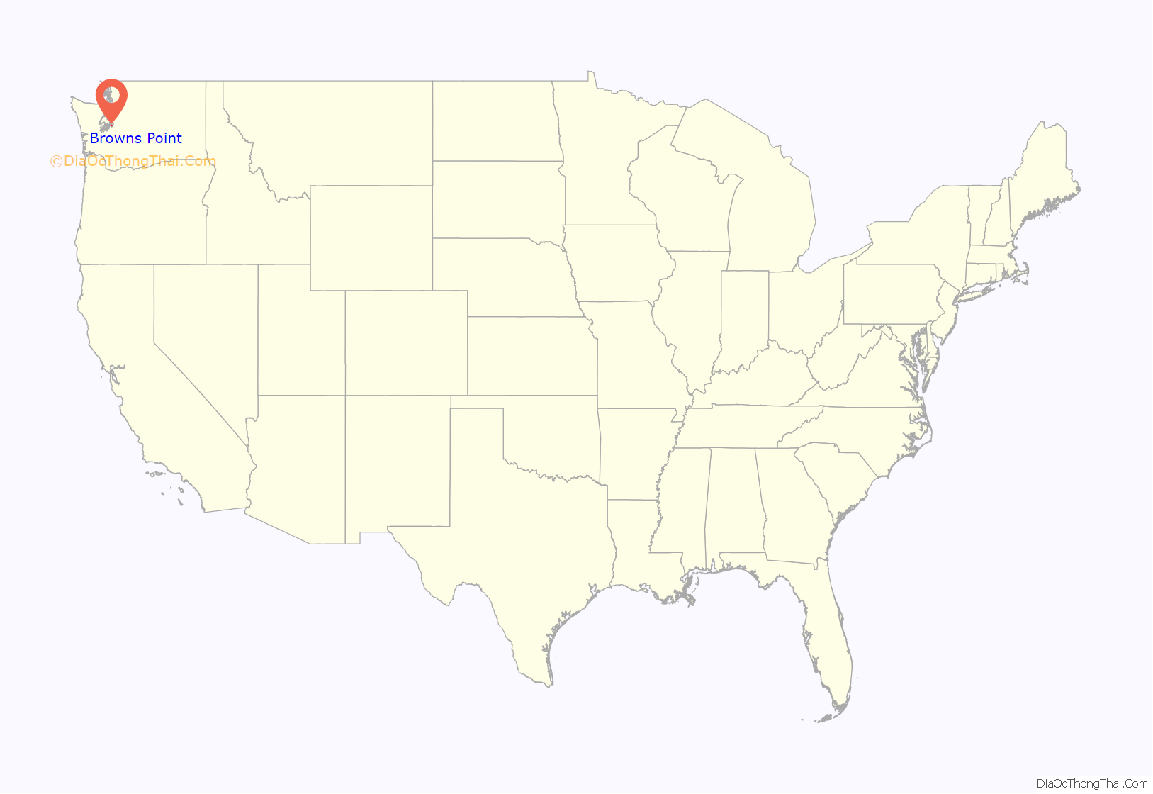
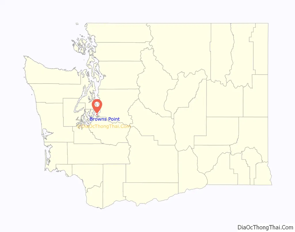
Browns Point location map. Where is Browns Point CDP?
History
Originally named Point Harris, after Alvin Harris, a sailmaker on the Wilkes Expedition, Browns Point was later renamed by residents for an early landowner.
Browns Point Road Map
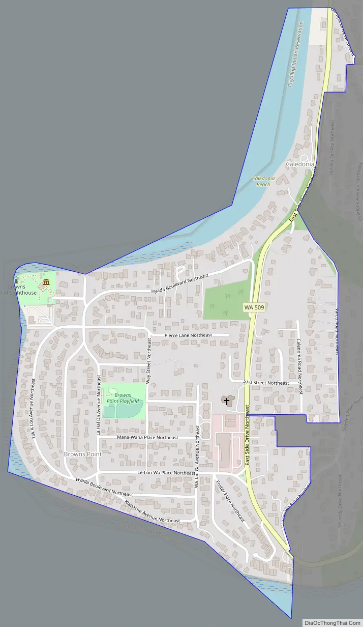
Browns Point city Satellite Map

Geography
Browns Point is located at 47°18′21″N 122°26′38″W / 47.30583°N 122.44389°W / 47.30583; -122.44389 (47.305833, -122.443889).
According to the United States Census Bureau, the CDP has a total area of 0.403 square miles (1.04 km), all land.
See also
Map of Washington State and its subdivision:- Adams
- Asotin
- Benton
- Chelan
- Clallam
- Clark
- Columbia
- Cowlitz
- Douglas
- Ferry
- Franklin
- Garfield
- Grant
- Grays Harbor
- Island
- Jefferson
- King
- Kitsap
- Kittitas
- Klickitat
- Lewis
- Lincoln
- Mason
- Okanogan
- Pacific
- Pend Oreille
- Pierce
- San Juan
- Skagit
- Skamania
- Snohomish
- Spokane
- Stevens
- Thurston
- Wahkiakum
- Walla Walla
- Whatcom
- Whitman
- Yakima
- Alabama
- Alaska
- Arizona
- Arkansas
- California
- Colorado
- Connecticut
- Delaware
- District of Columbia
- Florida
- Georgia
- Hawaii
- Idaho
- Illinois
- Indiana
- Iowa
- Kansas
- Kentucky
- Louisiana
- Maine
- Maryland
- Massachusetts
- Michigan
- Minnesota
- Mississippi
- Missouri
- Montana
- Nebraska
- Nevada
- New Hampshire
- New Jersey
- New Mexico
- New York
- North Carolina
- North Dakota
- Ohio
- Oklahoma
- Oregon
- Pennsylvania
- Rhode Island
- South Carolina
- South Dakota
- Tennessee
- Texas
- Utah
- Vermont
- Virginia
- Washington
- West Virginia
- Wisconsin
- Wyoming


