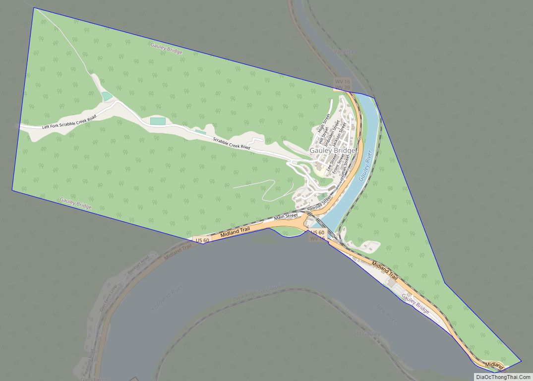
Gauley Bridge is a town in Fayette County, West Virginia, United States. The population was 614 at the 2010 census. The Kanawha River is formed at Gauley Bridge by the confluence of the New and Gauley Rivers. Two miles to the southeast of Gauley Bridge, in Glen Ferris, is Kanawha Falls, a popular stopping point ... Read more
West Virginia Cities and Places
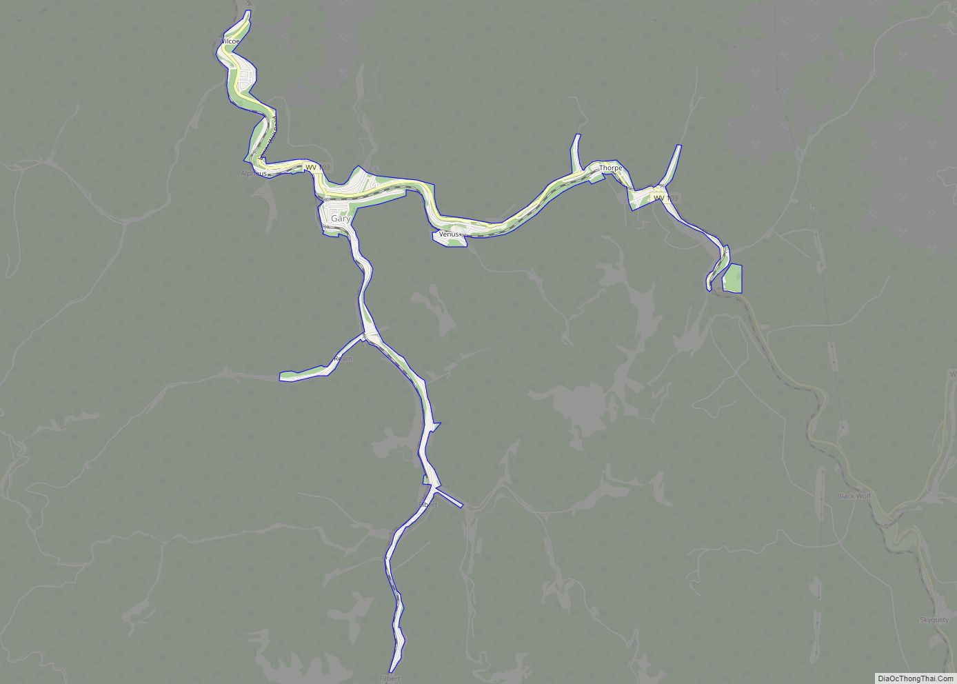
Gary is a city located along the Tug Fork River in McDowell County, West Virginia, United States. According to the 2020 census, the city had a population of 762. It was named for Elbert Henry Gary, one of the founders of U.S. Steel. The former coal towns of Elbert, Filbert, Thorpe, and Wilcoe became part ... Read more
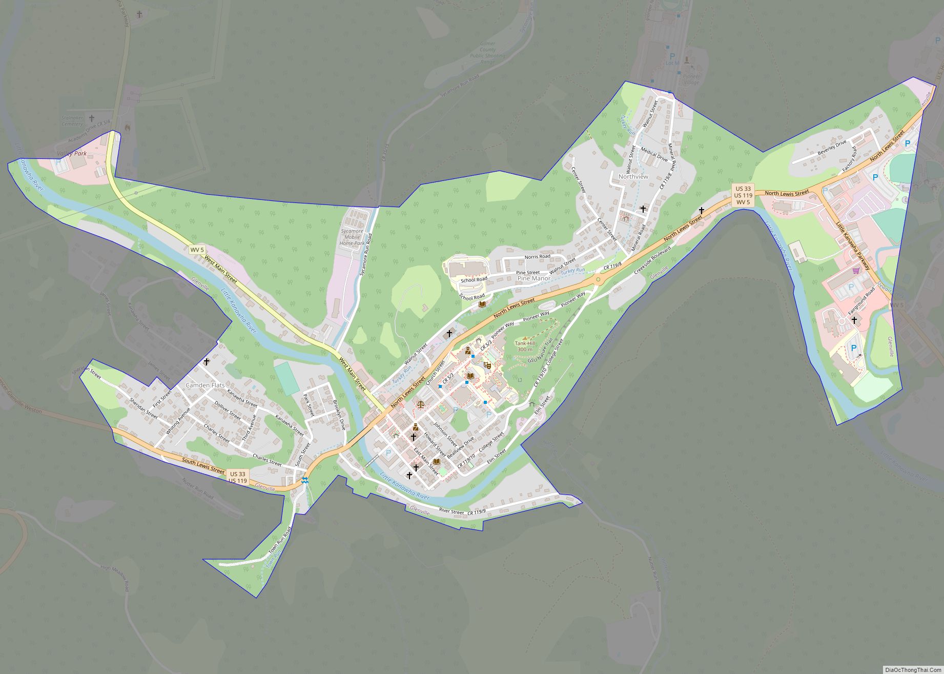
Glenville is a town in and the county seat of Gilmer County, West Virginia, United States, along the Little Kanawha River. The population was 1,128 at the 2020 census. It is the home of Glenville State University. Glenville town overview: Name: Glenville town LSAD Code: 43 LSAD Description: town (suffix) State: West Virginia County: Gilmer ... Read more
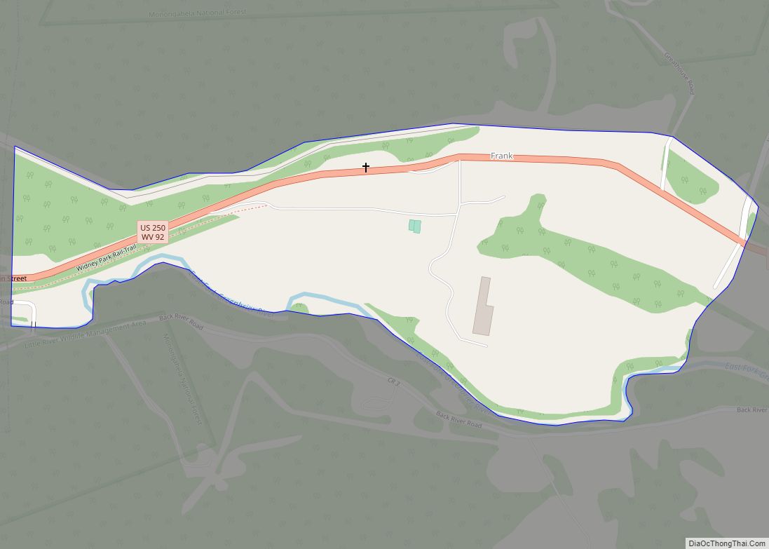
Frank is a census-designated place (CDP) in Pocahontas County, West Virginia, United States. The population was 90 at the 2010 census. It was named to honor Frank Hoffman in 1926. Hoffman was the proprietor of a local tannery. The unemployment rate in Frank is 6.2% (U.S. avg. is 3.9%). Compared to the rest of the ... Read more
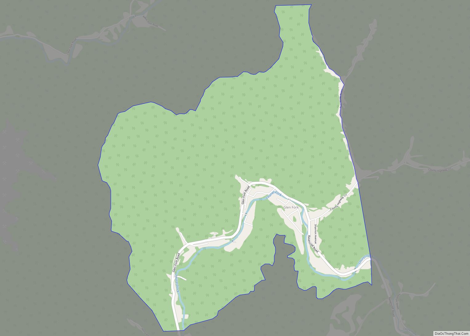
Glen Fork is a census-designated place (CDP) in Wyoming County, West Virginia, United States. As of the 2010 census, its population was 487. The confluence of the Laurel Fork and its tributary, the Glen Fork, is located in the community. Glen Fork CDP overview: Name: Glen Fork CDP LSAD Code: 57 LSAD Description: CDP (suffix) ... Read more
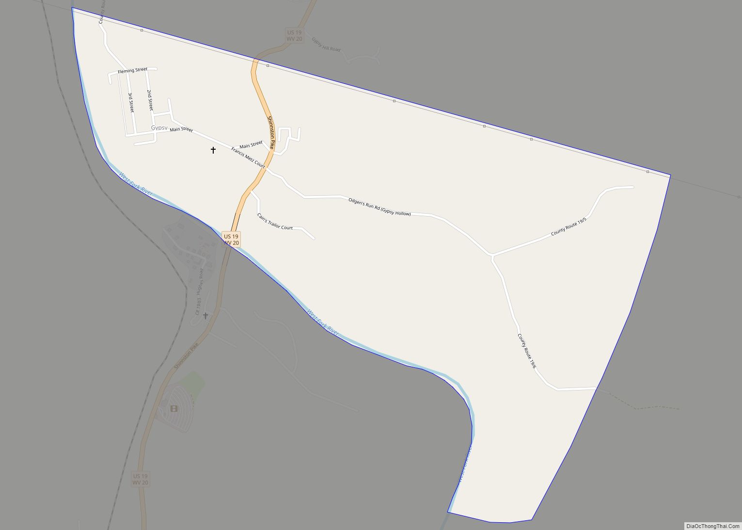
Gypsy is a census-designated place (CDP) in Harrison County, West Virginia, United States. As of the 2010 census, its population was 328. Gypsy CDP overview: Name: Gypsy CDP LSAD Code: 57 LSAD Description: CDP (suffix) State: West Virginia County: Harrison County Total Area: 0.777 sq mi (2.01 km²) Land Area: 0.777 sq mi (2.01 km²) Water Area: 0 sq mi (0 km²) Total Population: ... Read more
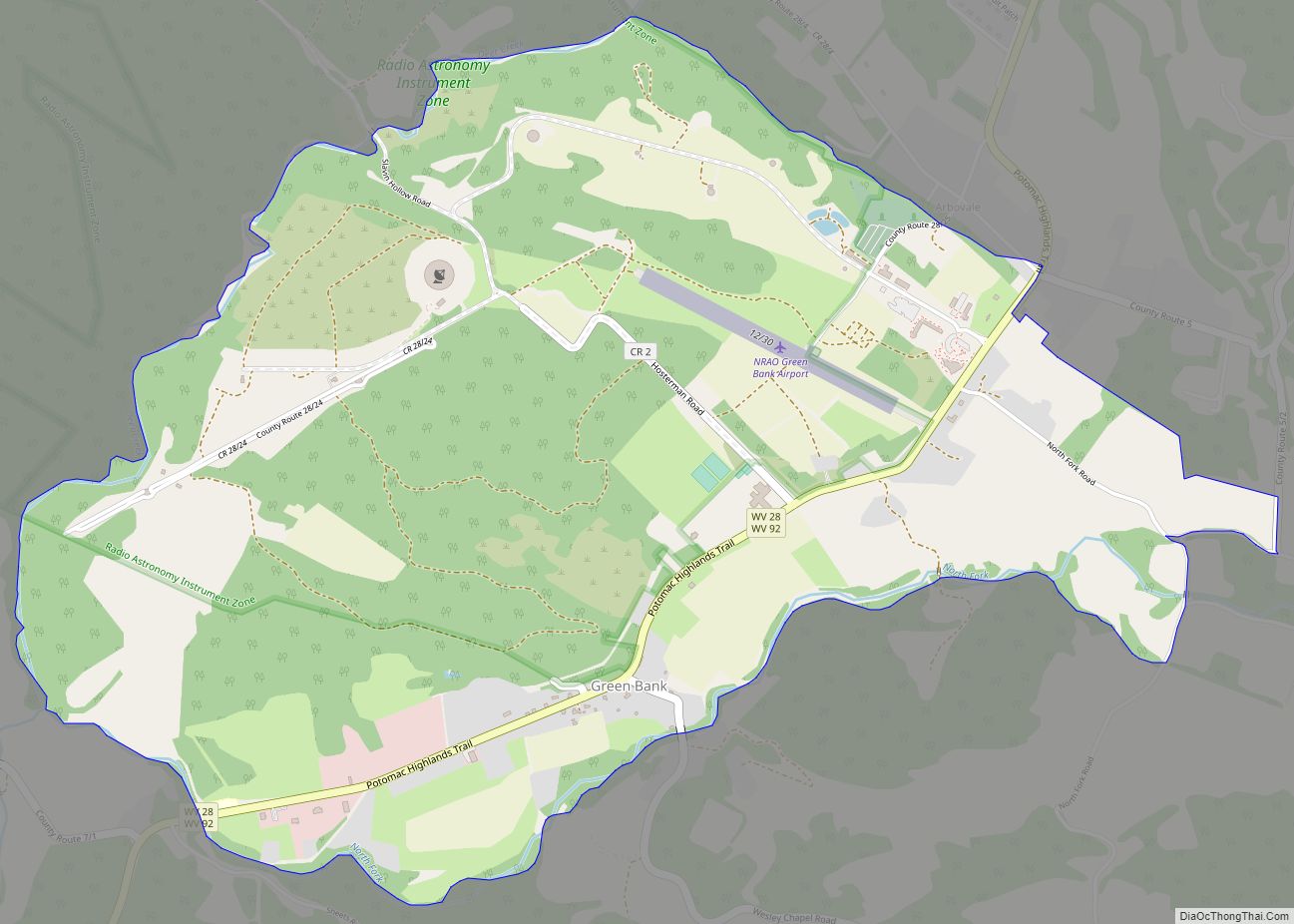
Green Bank is a census-designated place in Pocahontas County in West Virginia‘s Potomac Highlands inside the Allegheny Mountain Range. Green Bank is located along WV 28. Green Bank is home to the Green Bank Observatory and is also close to the Snowshoe Mountain ski resort. As of the 2020 census, its population was 141. The ... Read more
Henderson was a town in Mason County, West Virginia, United States, at the confluence of the Ohio and Kanawha Rivers. The population was 231 at the 2020 census. It is part of the Point Pleasant, WV–OH Micropolitan Statistical Area. The town was incorporated in 1893 and named for Samuel Bruce Henderson, who owned the townsite ... Read more
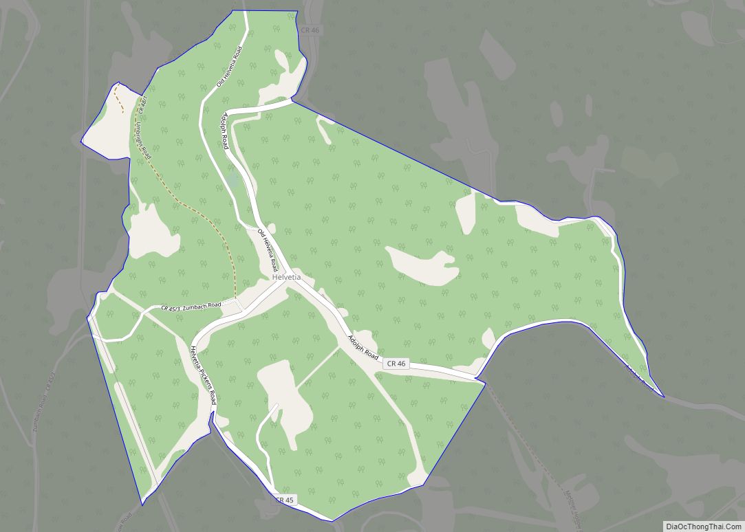
Helvetia is a census-designated place (CDP) in Randolph County, West Virginia, United States. As of the 2010 census, its population was 59. According to the 2020 census, its population was 38. The isolated community was settled by Swiss starting in 1869, and is known today for maintaining Swiss traditions, food, and folkways. Helvetia CDP overview: ... Read more
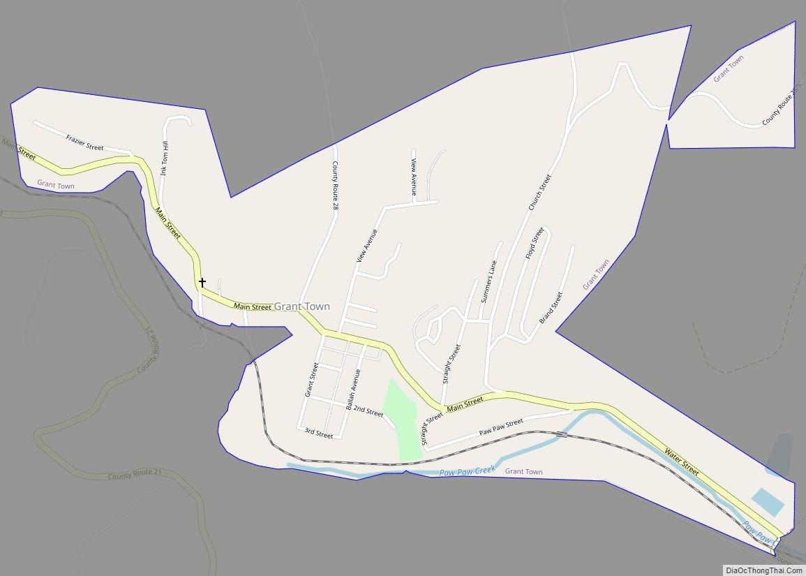
Grant Town is a town in Marion County, West Virginia, in the eastern United States. The population was 690 at the 2020 census. The town was formed in 1901 with the opening of the Federal Coal and Coke Company bituminous coal mine, and was named for Robert Grant, vice president of the coal company. The ... Read more
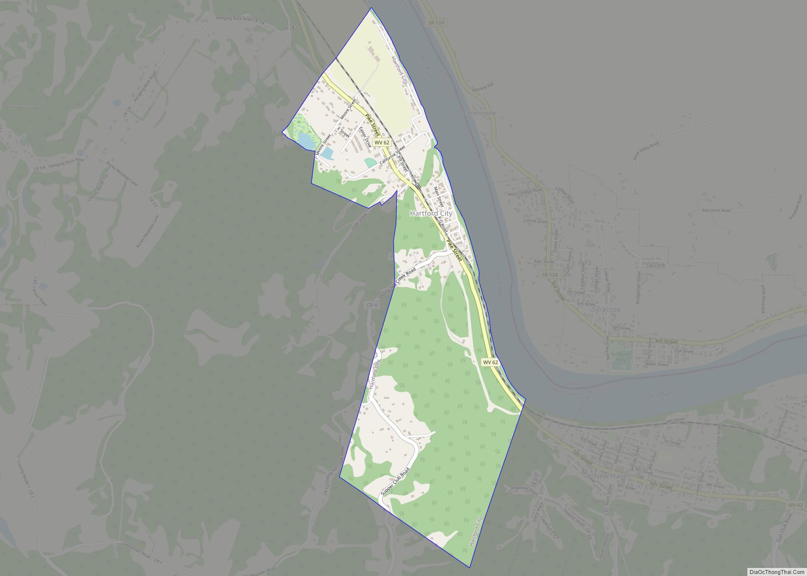
Hartford City, also known as Hartford, is a town in Mason County, West Virginia, United States. The population was 509 at the 2020 census. It is part of the Point Pleasant, WV–OH Micropolitan Statistical Area. Hartford City town overview: Name: Hartford City town LSAD Code: 43 LSAD Description: town (suffix) State: West Virginia County: Mason ... Read more
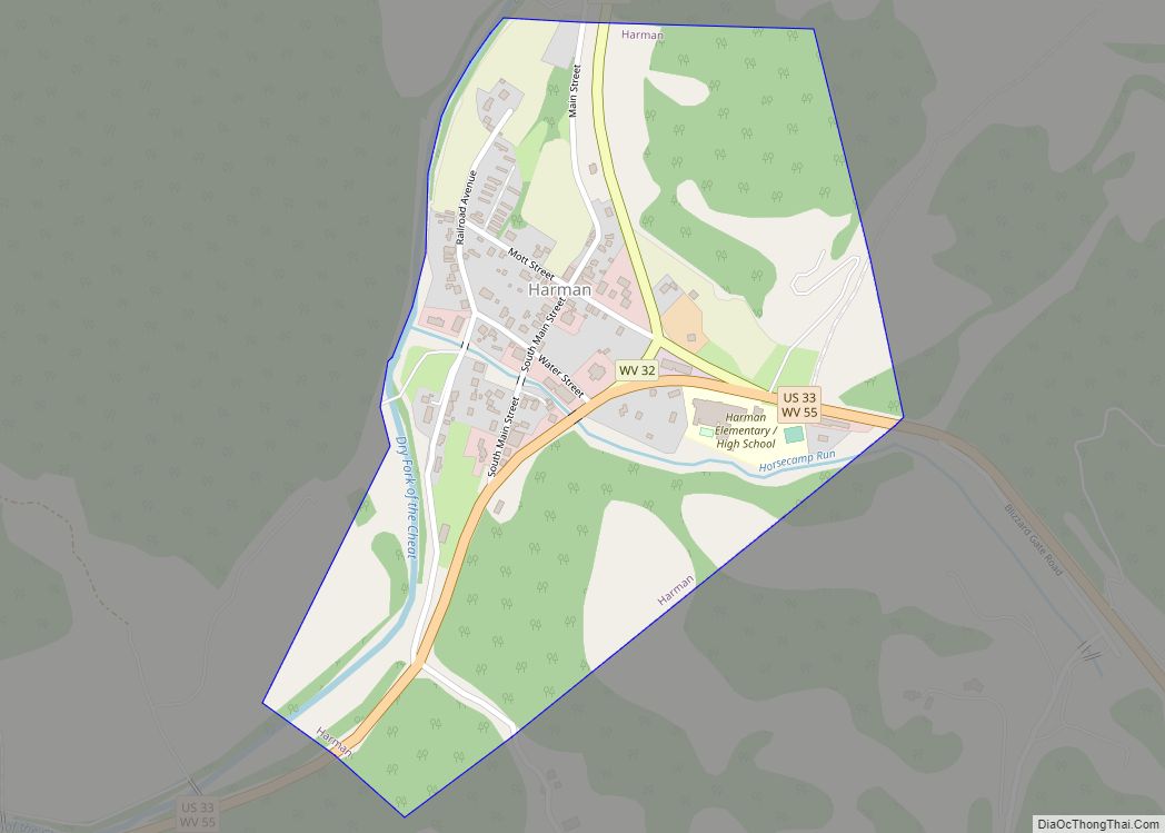
Harman is a town in Randolph County, West Virginia, United States. The population was 96 at the 2020 census. Harman town overview: Name: Harman town LSAD Code: 43 LSAD Description: town (suffix) State: West Virginia County: Randolph County Elevation: 2,359 ft (719 m) Total Area: 0.32 sq mi (0.84 km²) Land Area: 0.32 sq mi (0.84 km²) Water Area: 0.00 sq mi (0.00 km²) Total Population: ... Read more
