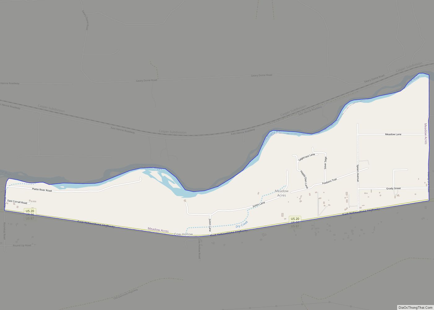
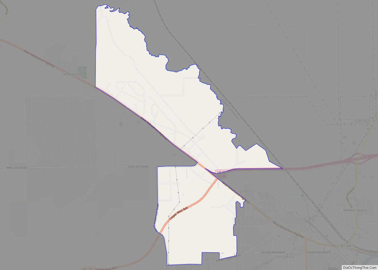
Map of Hulett town

Map of Hulett town

Hulett is a town in Crook County, Wyoming, United States. The population was 309 at the 2020 census. Hulett town overview: Name: Hulett town LSAD Code: 43 LSAD Description: town (suffix) State: Wyoming County: Crook County Elevation: 3,747 ft (1,142 m) Total Area: 0.86 sq mi (2.23 km²) Land Area: 0.86 sq mi (2.23 km²) Water Area: 0.00 sq mi (0.00 km²) Total Population: 309 Population … Read more

Map of Hudson town, Wyoming

Map of Hudson town, Wyoming

Hudson is a town in Fremont County, Wyoming, United States. The population was 458 at the 2010 census. Hudson town overview: Name: Hudson town LSAD Code: 43 LSAD Description: town (suffix) State: Wyoming County: Fremont County Elevation: 5,085 ft (1,550 m) Total Area: 0.43 sq mi (1.10 km²) Land Area: 0.43 sq mi (1.10 km²) Water Area: 0.00 sq mi (0.00 km²) Total Population: 458 Population … Read more

Map of Homa Hills CDP

Map of Homa Hills CDP

Homa Hills is a census-designated place (CDP) in Natrona County, Wyoming, United States. It is part of the Casper, Wyoming Metropolitan Statistical Area. The population was 278 at the 2010 census. Homa Hills CDP overview: Name: Homa Hills CDP LSAD Code: 57 LSAD Description: CDP (suffix) State: Wyoming County: Natrona County Elevation: 5,299 ft (1,615 m) Total … Read more

Map of Hoback CDP

Map of Hoback CDP

Hoback is a census-designated place (CDP) in Teton County, Wyoming, United States. The population was 1,176 at the 2010 census. It is part of the Jackson, WY–ID Micropolitan Statistical Area. The town is named for John Hoback, a mountain man who guided the Astor party through the area in 1811. Hoback CDP overview: Name: Hoback … Read more

Map of Hillsdale CDP, Wyoming

Map of Hillsdale CDP, Wyoming

Hillsdale is an unincorporated community and census-designated place in southeastern Laramie County, Wyoming, United States. As of the 2010 census, it had a population of 47. It lies along local roads east of the city of Cheyenne, the county seat of Laramie County. Its elevation is 5,640 feet (1,720 m) above sea level. Although Hillsdale is … Read more

Map of La Barge town

Map of La Barge town

La Barge is a town in Lincoln County, Wyoming, United States. The population was 551 at the 2010 census. It is approximately 20 miles from Big Piney. The area around La Barge is rich in oil fields, and the town has one bar and four churches. La Barge town overview: Name: La Barge town LSAD … Read more

Map of Kirby town, Wyoming

Map of Kirby town, Wyoming

Kirby is a town in Hot Springs County, Wyoming, United States. The town was established as a coal town in 1907 alongside the nearby camps of Crosby and Gebo. The population was 76 at the 2020 census. The town is home to Wyoming Whiskey, the state’s first whiskey distillery, and was the only one in … Read more

Map of Kemmerer city

Map of Kemmerer city

Kemmerer is the largest city in and the county seat of Lincoln County, Wyoming, United States. Its population was 2,415 at the 2020 census. Kemmerer city overview: Name: Kemmerer city LSAD Code: 25 LSAD Description: city (suffix) State: Wyoming County: Lincoln County Elevation: 6,949 ft (2,118 m) Total Area: 7.81 sq mi (20.22 km²) Land Area: 7.80 sq mi (20.20 km²) Water Area: … Read more

Map of Mammoth CDP, Wyoming

Map of Mammoth CDP, Wyoming

Mammoth is a census-designated place in Park County, Wyoming, United States, comprising Fort Yellowstone and Mammoth Hot Springs in Yellowstone National Park. As of the 2010 census, its population was 263. Some students from Mammoth attend Gardiner Public Schools in Gardiner, Montana. Mammoth CDP overview: Name: Mammoth CDP LSAD Code: 57 LSAD Description: CDP (suffix) … Read more

Map of Kelly CDP, Wyoming

Map of Kelly CDP, Wyoming

Kelly is a census-designated place (CDP) in Teton County in the U.S. state of Wyoming. The population was 138 at the 2010 census. Kelly CDP overview: Name: Kelly CDP LSAD Code: 57 LSAD Description: CDP (suffix) State: Wyoming County: Teton County Elevation: 6,653 ft (2,028 m) Total Area: 0.48 sq mi (1.24 km²) Land Area: 0.48 sq mi (1.24 km²) Water Area: 0.0 sq mi … Read more

Map of Lyman town, Wyoming

Map of Lyman town, Wyoming

Lyman is a town in Uinta County, Wyoming, United States. The population was 2,115 at the 2010 census. Lyman town overview: Name: Lyman town LSAD Code: 43 LSAD Description: town (suffix) State: Wyoming County: Uinta County Elevation: 6,706 ft (2,044 m) Total Area: 1.55 sq mi (4.03 km²) Land Area: 1.55 sq mi (4.03 km²) Water Area: 0.00 sq mi (0.00 km²) Total Population: 2,115 Population … Read more

Map of Kaycee town

Map of Kaycee town

Kaycee is a town in Johnson County, Wyoming, United States. The population was 247 at the 2020 census. It is home to a museum that preserves the cattle ranching heritage of the area, especially the history of the Johnson County War. Kaycee was incorporated in 1906 after the establishment of a small post office and … Read more