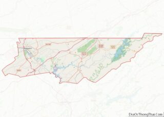
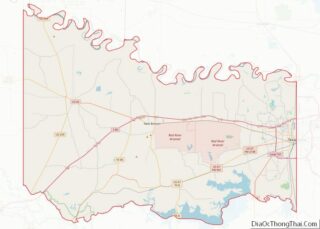
Camden County is a county located in the U.S. state of Missouri. As of the 2020 Census, the population was 42,745. Its county seat is Camdenton. The county was organized on January 29, 1841, as Kinderhook County and renamed Camden County in 1843 after Charles Pratt, 1st Earl Camden, Lord Chancellor of the United Kingdom ... Read more
Map of US Counties
Daviess County is a county located in the U.S. state of Missouri. As of the 2020 census, the population was 8,430. Its county seat is Gallatin. The county was organized December 29, 1836, from Ray County and named for Major Joseph Hamilton Daveiss, a soldier from Kentucky who was killed in 1811 at the Battle ... Read more
Iron County is a county located in the Lead Belt region in the U.S. state of Missouri. As of the 2020 census, the population was 9,537. The largest city and county seat is Ironton. Iron County was officially organized on February 17, 1857, and was named after the abundance of iron ore found within its ... Read more
Marion County is a county located in the northeastern portion of Missouri. As of the 2010 census, the population was 28,781. Its county seat is Palmyra. Unique from most third-class counties in the state, Marion has two county courthouses, the second located in Hannibal. The county was organized on December 23, 1826 and named for ... Read more
Perry County is a county located in the southeastern portion of the U.S. state of Missouri. As of the 2020 census, the population was 18,956. Its county seat is Perryville. The county was officially organized on November 16, 1820 (effective January 1, 1821) from Ste. Genevieve County and was named after Oliver Hazard Perry, a ... Read more
St. Louis County is located in the eastern-central portion of Missouri. It is bounded by the City of St. Louis and the Mississippi River to the east, the Missouri River to the north, and the Meramec River to the south. At the 2020 census, the total population was 1,004,125, making it the most populous county ... Read more
Wayne County is a county located in the Ozark foothills in the U.S. state of Missouri. As of the 2020 census, the population was 10,974. The county seat is Greenville. The county was officially organized on December 11, 1818, and is named after General “Mad” Anthony Wayne, who served in the American Revolution. Wayne County ... Read more
Fallon County is a county located in the U.S. state of Montana. As of the 2020 census, the population was 3,049. Its county seat is Baker. The county was created in 1913 from a portion of Custer County. It is named for Benjamin O’Fallon, a nephew of Captain William Clark and an Indian agent for ... Read more
McCone County is a county located in the U.S. state of Montana. As of the 2020 census, the population was 1,729. Its county seat is Circle. The county was created in 1919. It was named for State Senator George McCone, who had been one of the first county commissioners of Dawson County. McCone County overview: ... Read more
Sanders County is a county in the U.S. state of Montana. As of the 2020 census, the population was 12,400. Its county seat is Thompson Falls. The county was founded in 1905. It has an annual county fair with rodeo at Plains. Sanders County overview: Name: Sanders County FIPS code: 30-089 State: Montana Founded: 1905 ... Read more
Blaine County is a county in the U.S. state of Nebraska. As of the 2010 United States Census, the population was 478, making it Nebraska’s second-least populous county and the sixth-least populous in the United States. Its county seat is Brewster. The county was formed in 1885 and organized in 1886. It is named after ... Read more
Custer County overview: Name: Custer County FIPS code: 31-041 State: Nebraska Founded: 17 February 1877 Named for: George Armstrong Custer Seat: Broken Bow Largest city: Broken Bow Total Area: 2,576 sq mi (6,670 km²) Land Area: 2,576 sq mi (6,670 km²) Total Population: 10,460 Population Density: 4.06/sq mi (1.57/km²) Time zone: UTC−6 (Central) Summer Time Zone (DST): UTC−5 (CDT) Website: www.co.custer.ne.us Custer ... Read more