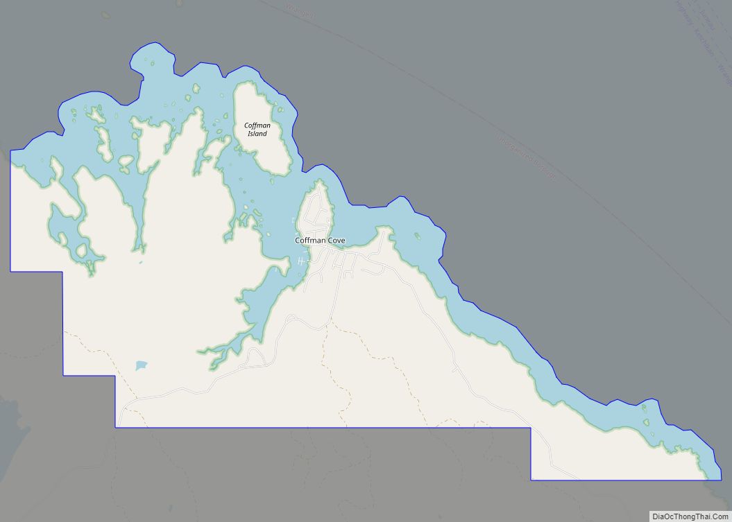
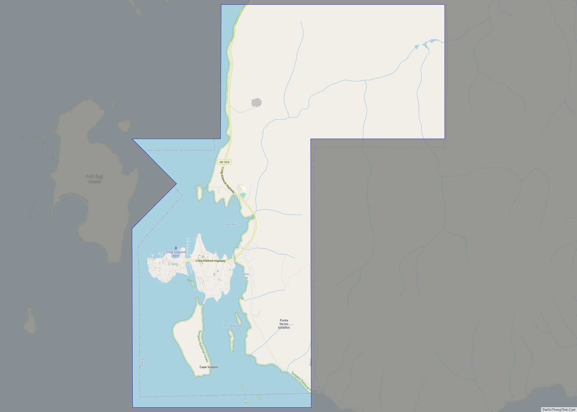
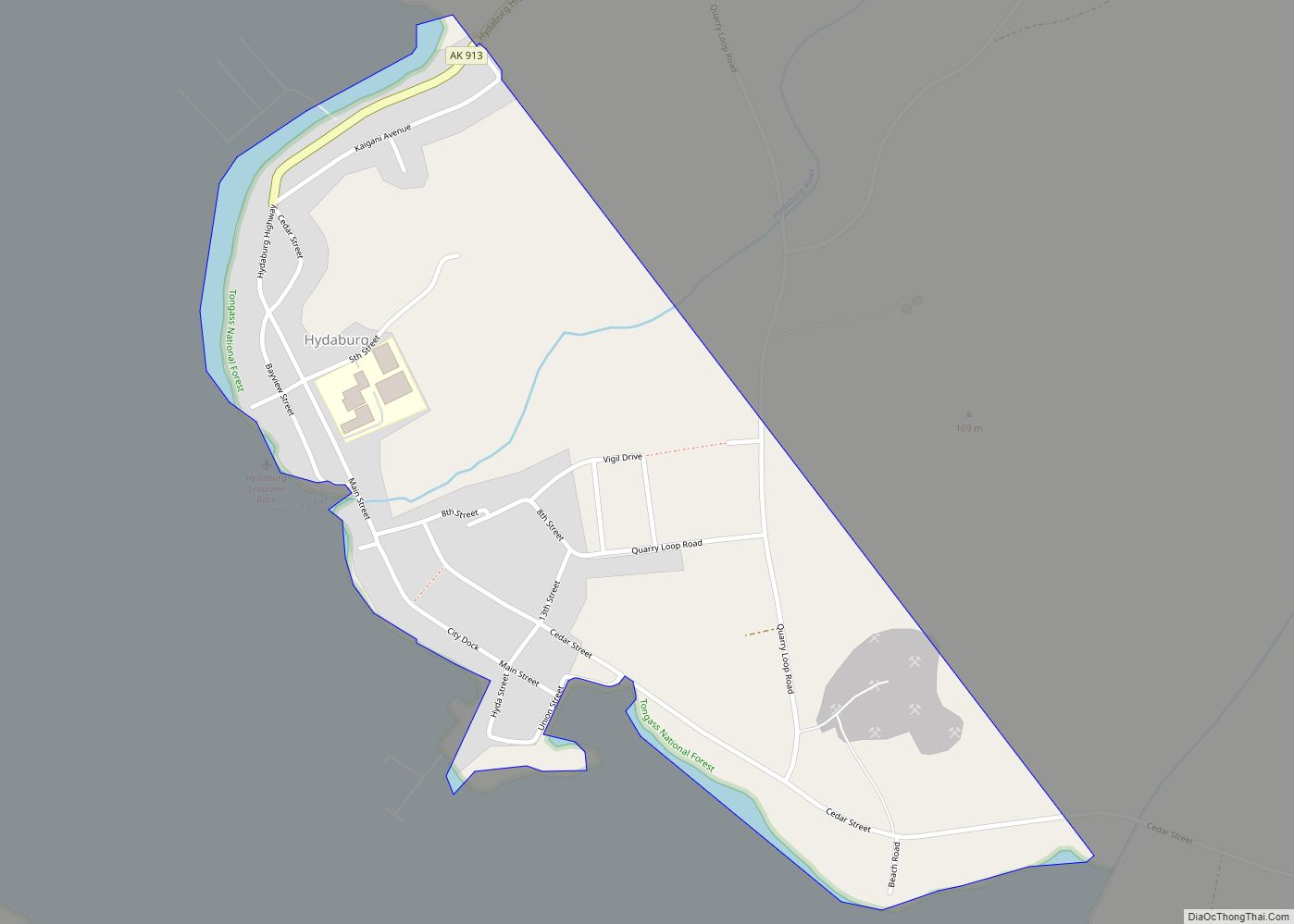
Prince of Wales–Hyder Census Area is a census area located in the U.S. state of Alaska. As of the 2020 census, the population was 5,753, up from 5,559 in 2010. It is part of the unorganized borough and therefore has no borough seat. Its largest communities are Metlakatla and Craig. It was formerly part of the Census Bureau’s Prince of Wales–Outer Ketchikan Census Area, but the name was changed in 2008 after most of the Outer Ketchikan (except the parts near the community of Hyder, and Annette Island) was lost to annexation by the Ketchikan Gateway Borough.
| Name: | Prince of Wales-Hyder Census Area |
|---|---|
| FIPS code: | 02-198 |
| State: | Alaska |
| Named for: | Prince of Wales Island and Hyder |
| Total Area: | 7,683 sq mi (19,900 km²) |
| Land Area: | 3,923 sq mi (10,160 km²) |
| Total Population: | 5,753 |
| Population Density: | 1.42/sq mi (0.55/km²) |
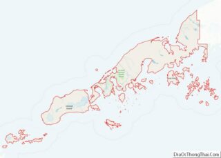
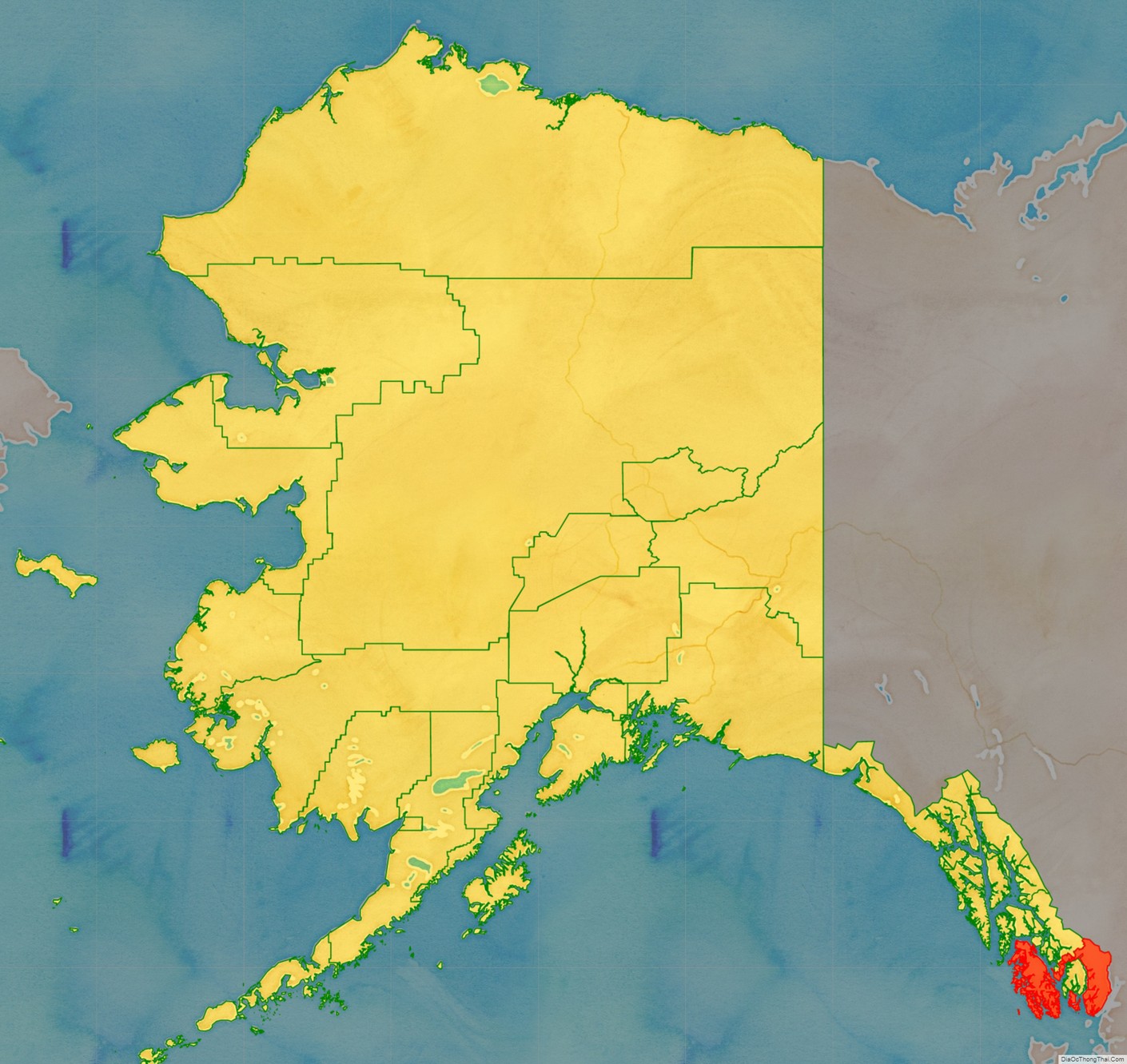
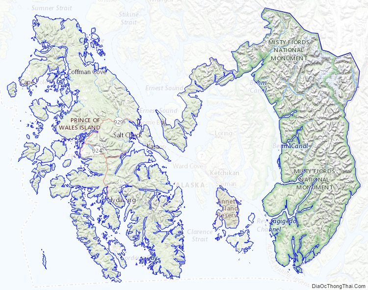
Prince of Wales-Hyder Census Area location map. Where is Prince of Wales-Hyder Census Area?
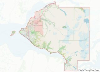
Prince of Wales-Hyder Census Area Road Map
Geography
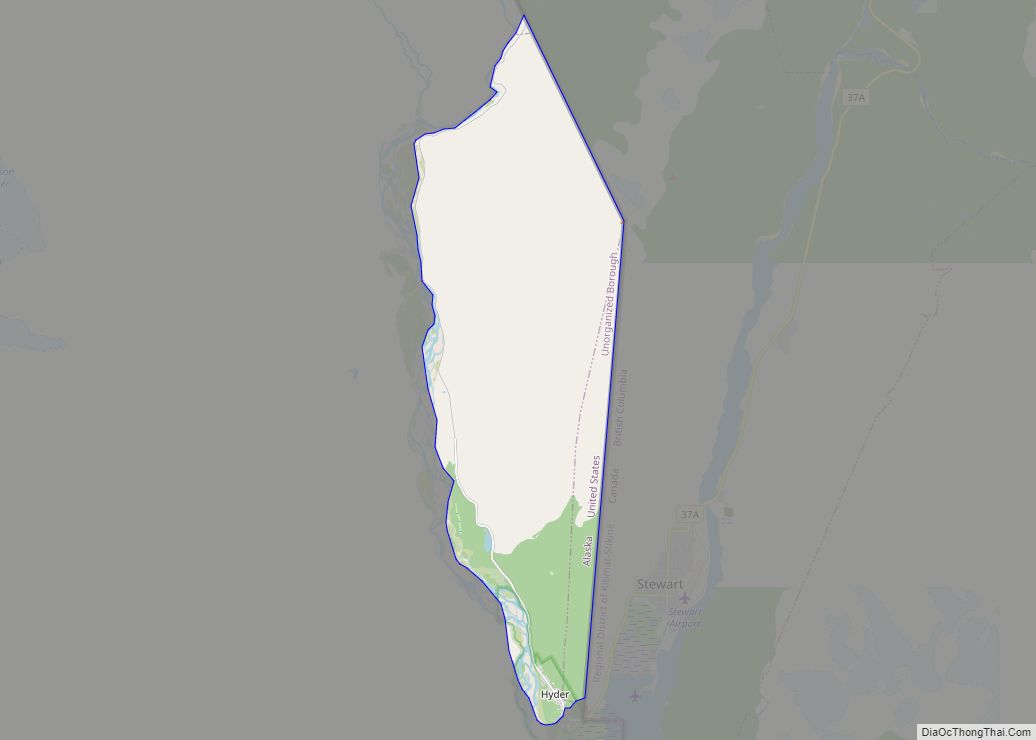
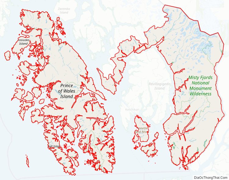
According to the U.S. Census Bureau, the census area has a total area of 7,683 square miles (19,900 km), of which 3,923 square miles (10,160 km) is land and 3,760 square miles (9,700 km) (48.9%) is water. The present-day Prince of Wales–Hyder Census Area includes the Hyder area as an exclave, and Annette Island, which is mostly surrounded by territory of Ketchikan Gateway Borough. Before the transfer of territory, Ketchikan Gateway Borough was enclaved within (surrounded by) the census area.
Adjacent boroughs and census areas
- Petersburg Borough – north
- City and Borough of Wrangell, Alaska – northeast
- Ketchikan Gateway Borough – between Prince of Wales and Hyder
- Regional District of Kitimat-Stikine, British Columbia, Canada – east
- North Coast Regional District, British Columbia, Canada – south (water boundary only, across Dixon Entrance to Hecate Strait)
- Hoonah–Angoon Census Area, Alaska
- City and borough of Sitka, Alaska
National protected areas
- Alaska Maritime National Wildlife Refuge (part of Gulf of Alaska unit)
- Forrester Island Wilderness
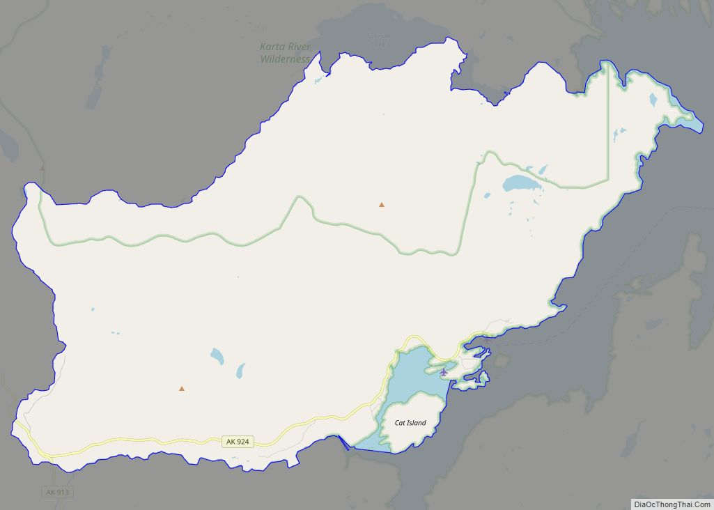
- Tongass National Forest (part)
- Karta River Wilderness
- Maurille Islands Wilderness
- South Prince of Wales Wilderness
- Warren Island Wilderness
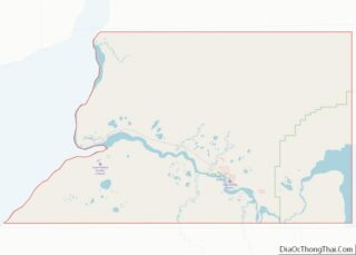
Prince of Wales-Hyder Census Area Topographic Map
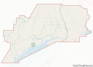
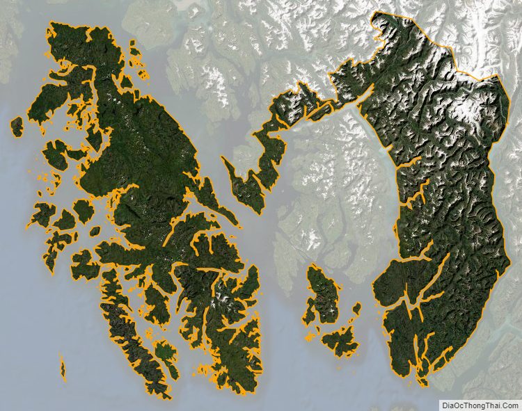
Prince of Wales-Hyder Census Area Satellite Map
Prince of Wales-Hyder Census Area Outline Map