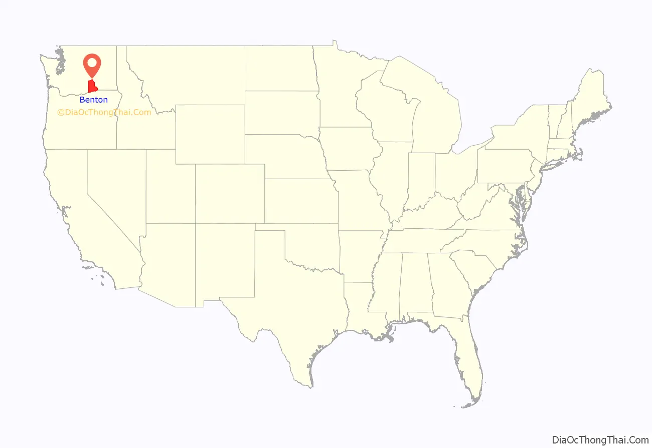
| Name: | Benton County |
|---|---|
| FIPS code: | 53-005 |
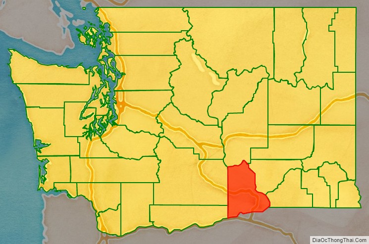
| State: | Washington |
| Founded: | March 8, 1905 |
| Named for: | Thomas Hart Benton |
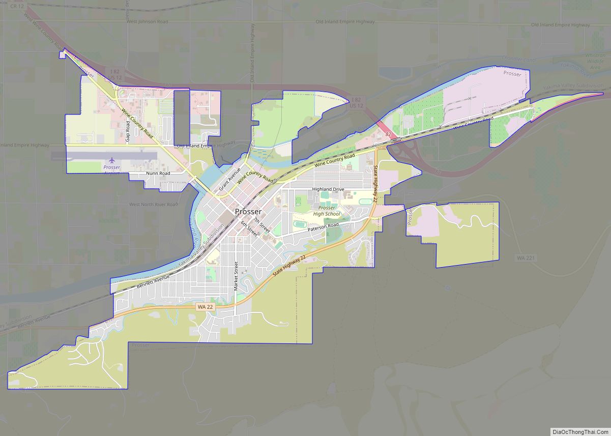
| Seat: | Prosser |
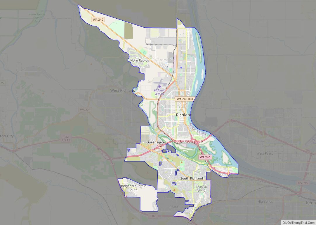
| Largest city: | Kennewick |
| Total Area: | 1,760 sq mi (4,600 km²) |
| Land Area: | 1,700 sq mi (4,000 km²) |
| Total Population: | 206,873 |
| Population Density: | 110/sq mi (40/km²) |
Benton County location map. Where is Benton County?
Benton County Road Map
Geography
According to the United States Census Bureau, the county has a total area of 1,760 square miles (4,600 km), of which 1,700 square miles (4,400 km) is land and 60 square miles (160 km) (3.4%) is water. The highest point of land elevation within the county is the summit of Rattlesnake Mountain at 3,527 feet; and the lowest point of land elevation is along the southwestern shore of Crow Butte at 265 feet (fluctuates due to level of Columbia River).
Waterways
- Columbia River – Surrounds and forms the county’s boundary on three sides. Barge trafficking is possible upriver to anchorage sites in northern Richland, the upstream extent of Lake Wallula which forms behind McNary Dam.
- Yakima River – Bisects the county from west to east, emptying into the Columbia River at Richland. As a water source, the Yakima is the lifesource for agriculture in the Yakima Valley. A shallow river, the Yakima is suitably navigable only for small, personal watercraft. Historically, the Yakima River supported some of the most bountiful migratory fish populations in the entire Columbia Basin, and many of those legendary salmon runs are now rebounding after decades of demise. Amon Creek is the most notable tributary of the Yakima River in Benton County, emptying into the mainstem river near the Yakima River Delta in Richland.
Mountains and ridges
- Horse Heaven Hills
- Rattlesnake Hills
- Lookout Summit
- Rattlesnake Mountain
- Jump Off Joe
- Badger Mountain
- Candy Mountain
- Red Mountain
Adjacent counties
- Grant County – north
- Franklin County – northeast
- Walla Walla County – east
- Umatilla County, Oregon – southeast
- Morrow County, Oregon – southwest
- Klickitat County – southwest
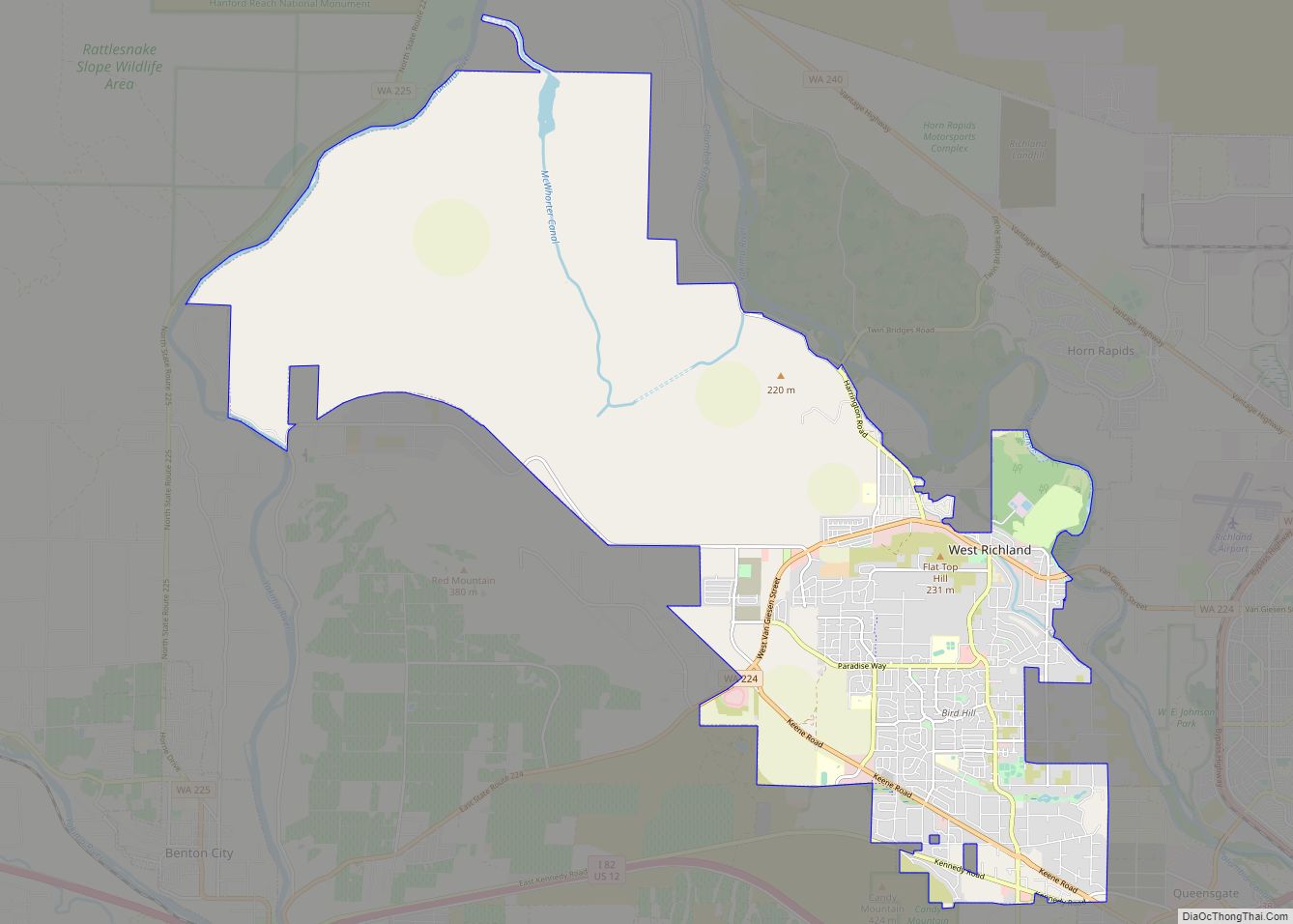
- Yakima County – west
National Protected Areas
- Hanford Reach National Monument (part)
- Manhattan Project National Historical Park (part)
- Saddle Mountain National Wildlife Refuge (part)
- Umatilla National Wildlife Refuge (part)
Major highways
- Interstate 82
- Interstate 182
- U.S. Route 12
- U.S. Route 395
- Washington State Route 14
- Washington State Route 240
- Washington State Route 397
Benton County Topographic Map
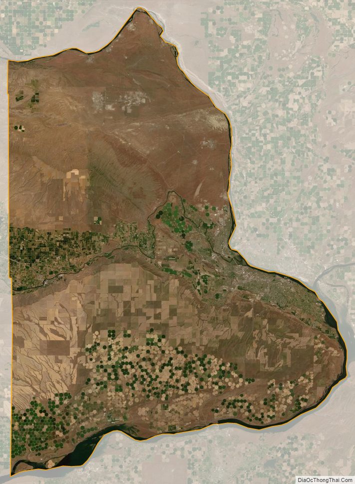
Benton County Satellite Map
Benton County Outline Map