Prosser (/ˈprɑːsər/) is a city in and the county seat of Benton County, Washington, United States. Situated along the Yakima River, it had a population of 6,062 at the 2020 census.
| Name: | Prosser city |
|---|---|
| LSAD Code: | 25 |
| LSAD Description: | city (suffix) |
| State: | Washington |
| County: | Benton County |
| Elevation: | 666 ft (203 m) |
| Total Area: | 4.79 sq mi (12.39 km²) |
| Land Area: | 4.66 sq mi (12.06 km²) |
| Water Area: | 0.13 sq mi (0.33 km²) |
| Total Population: | 6,062 |
| Population Density: | 1,369.98/sq mi (528.96/km²) |
| ZIP code: | 99350 |
| Area code: | 509 |
| FIPS code: | 5356450 |
| GNISfeature ID: | 1512582 |
| Website: | cityofprosser.com |
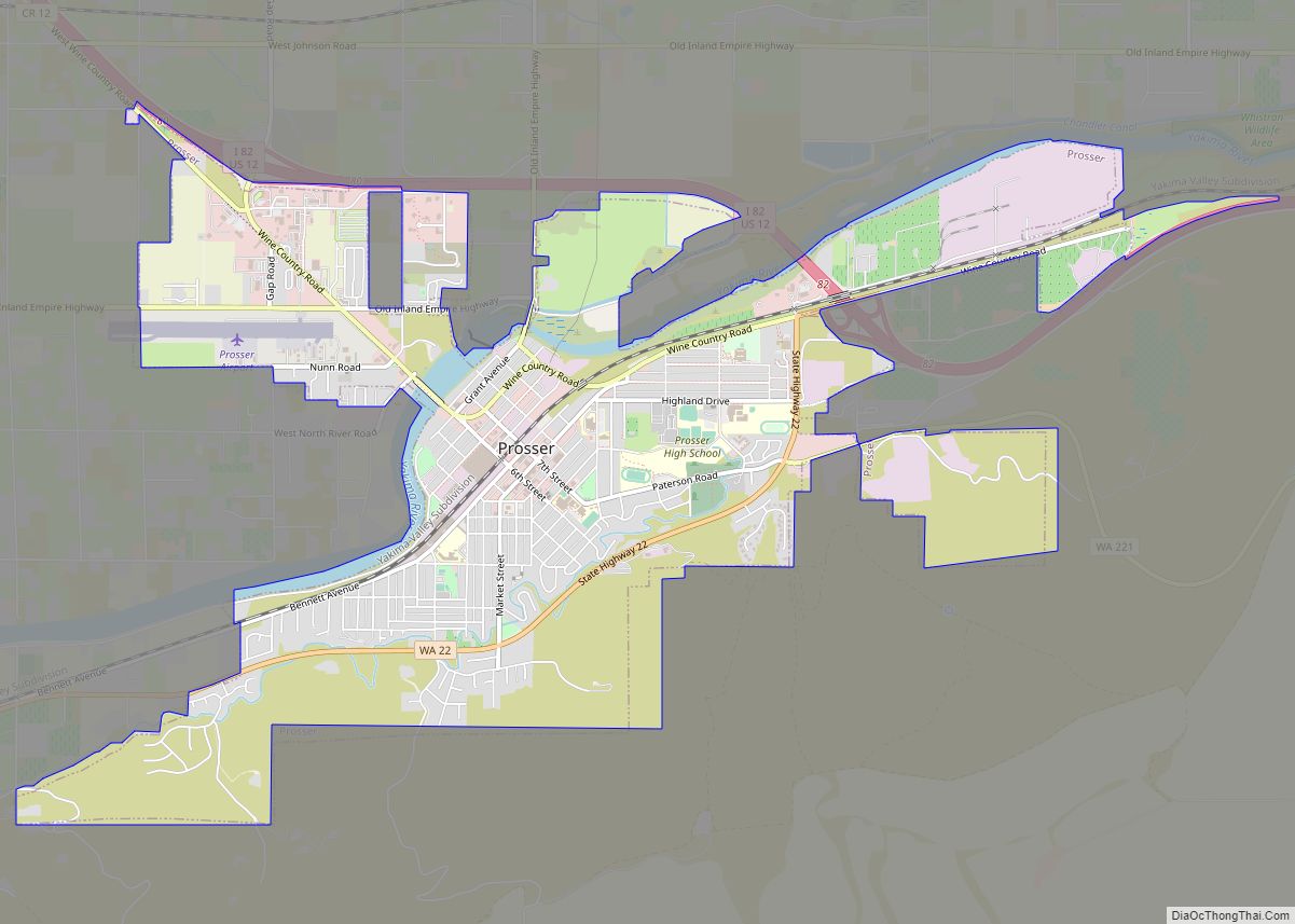
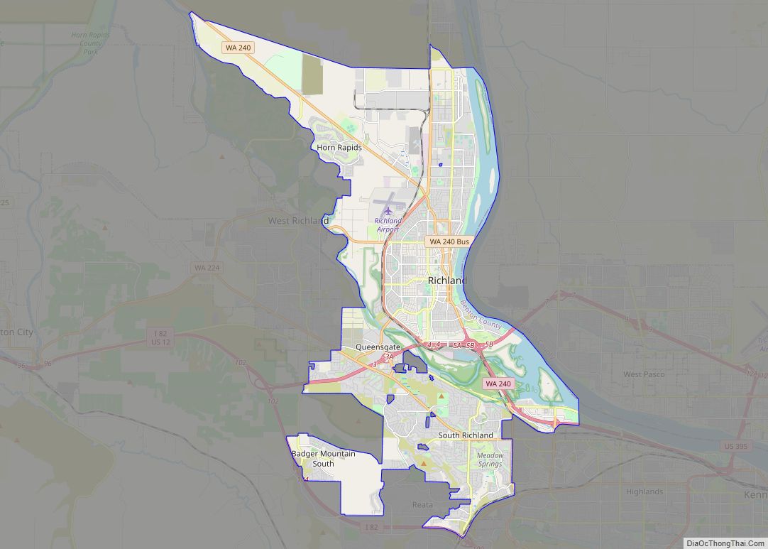
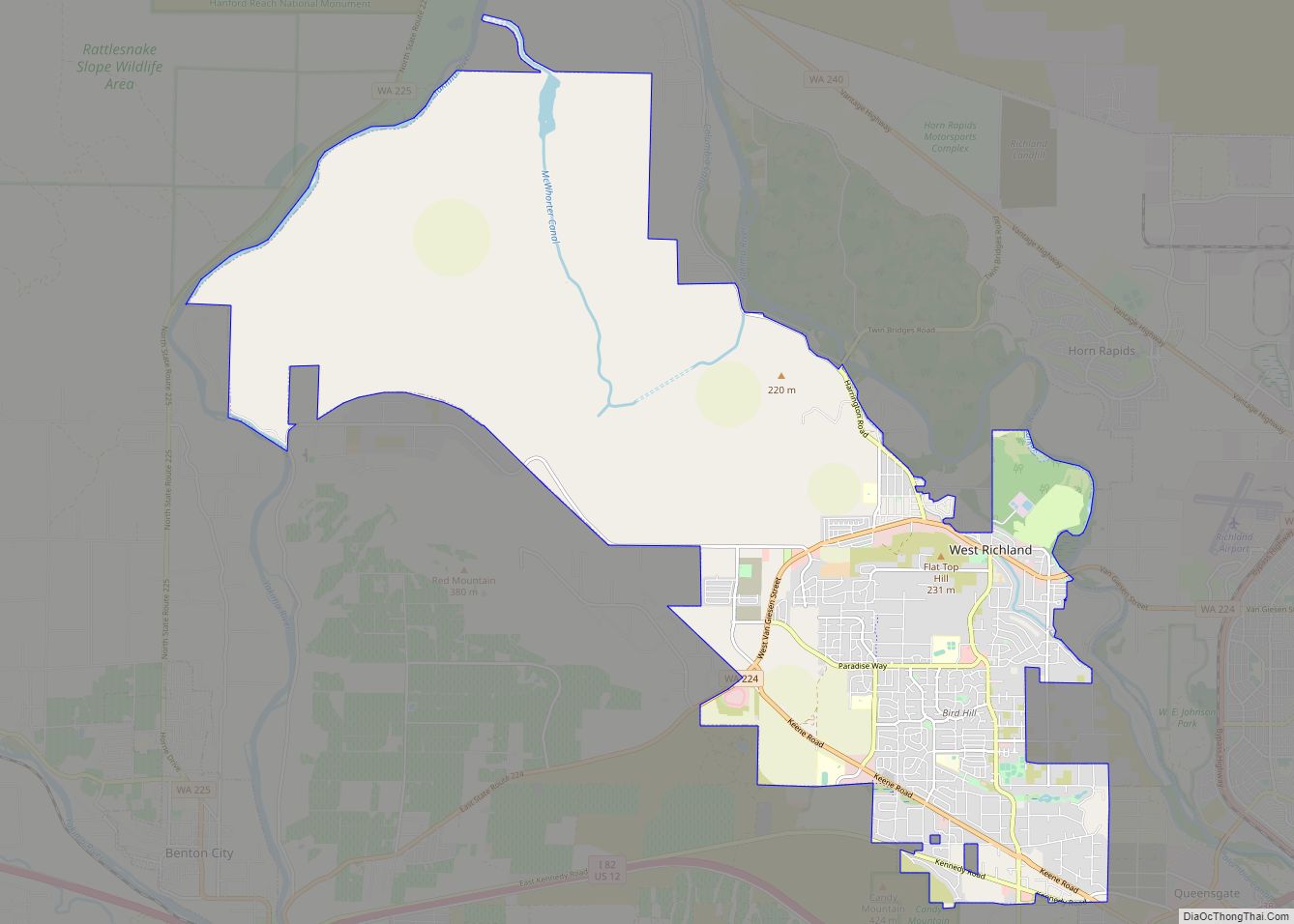
Online Interactive Map
Click on ![]() to view map in "full screen" mode.
to view map in "full screen" mode.
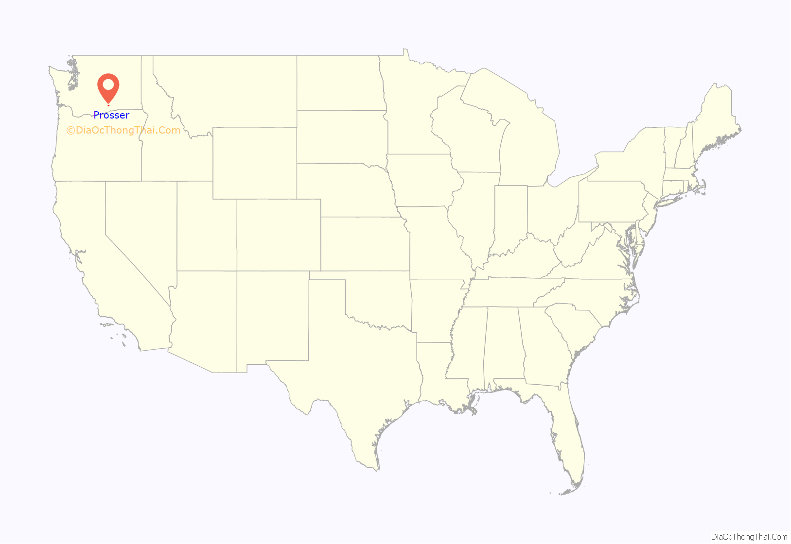
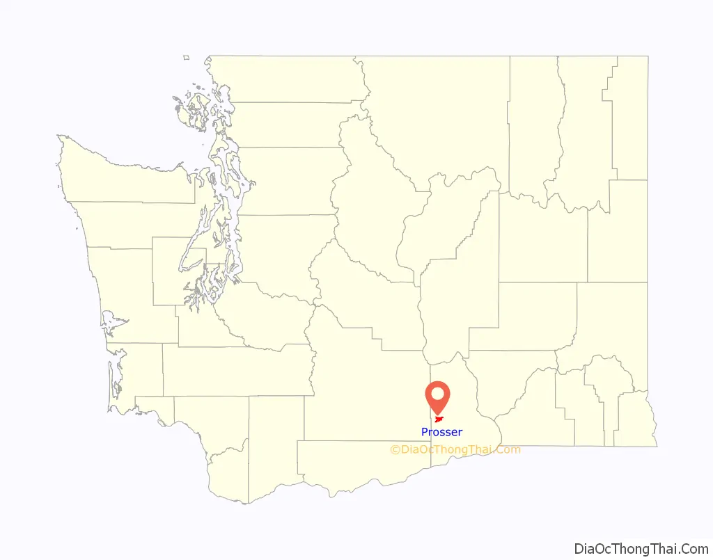
Prosser location map. Where is Prosser city?
History
Prosser was long home to Native Americans who lived and fished along the river. They called the area “Táptat” (alternatively spelled Tap-tat, Top tut, etc.), which translates to “long hair in front, short hair on the sides”, referring to a style of headdress.
Colonel William Farrand Prosser first surveyed the area in 1879, then claimed homestead in 1882. The Northern Pacific Railroad laid tracks through the area two years later. A town plat was filed by Colonel Prosser in 1885, and in 1886 he was elected Yakima County Auditor. He moved to North Yakima to attend to these duties, and never returned to the town that he founded.
Lewis Hinzerling built a flour mill at Prosser falls in 1887, encouraging further settlement of the area. The first irrigation canal was completed in 1893 by the Prosser Falls Land and Irrigation Company. Prosser was officially incorporated in 1899 with a population of 229 people.
In 1905, Benton County was carved out of the eastern portions of Yakima and Klickitat Counties. The new town of Prosser was chosen as county seat. In 1907 a power plant was added and began delivering electricity to the town. The following year, a new high school was built, followed a year later by a telephone exchange. In 1910 the city received a grant from Andrew Carnegie for a public library.
Throughout the 1910s and 1920s various companies drilled in this area for oil and natural gas. There were no large findings and the Great Depression put an end to exploration.
On November 5, 1912, Benton County voters held a referendum to move the county seat from Prosser to either Kennewick or Benton City. Intense rivalry and war of words between Benton City, Kennewick, and Prosser preceded the vote. Despite getting a majority of the vote, Kennewick did not receive 60 percent of the vote as required by law. To date, Prosser remains the county seat.
In 1919, Washington State College (later WSU) established the Irrigation Experiment Station at Prosser. The program’s mandate is to study the problems faced by farmers, orchardists, and ranchers in the dry central part of the state. The station originally employed scientists from the college in Pullman, who partnered with scientists from the Washington State Department of Agriculture (WSDA) and the United States Department of Agriculture (USDA). The station is still currently in use, and offers a number of agricultural education programs.
Prosser at one point had three newspapers, which were consolidated in the 1920s into the Prosser Record-Bulletin, and a permanent courthouse was built in 1926. The Benton County Historical Museum was dedicated in 1968.
In more recent years, Prosser’s location on a major river (the Yakima) and highway access has encouraged a growing wine business and associated tourist industry. Several Prosser wineries are located within the Yakima Valley appellation.
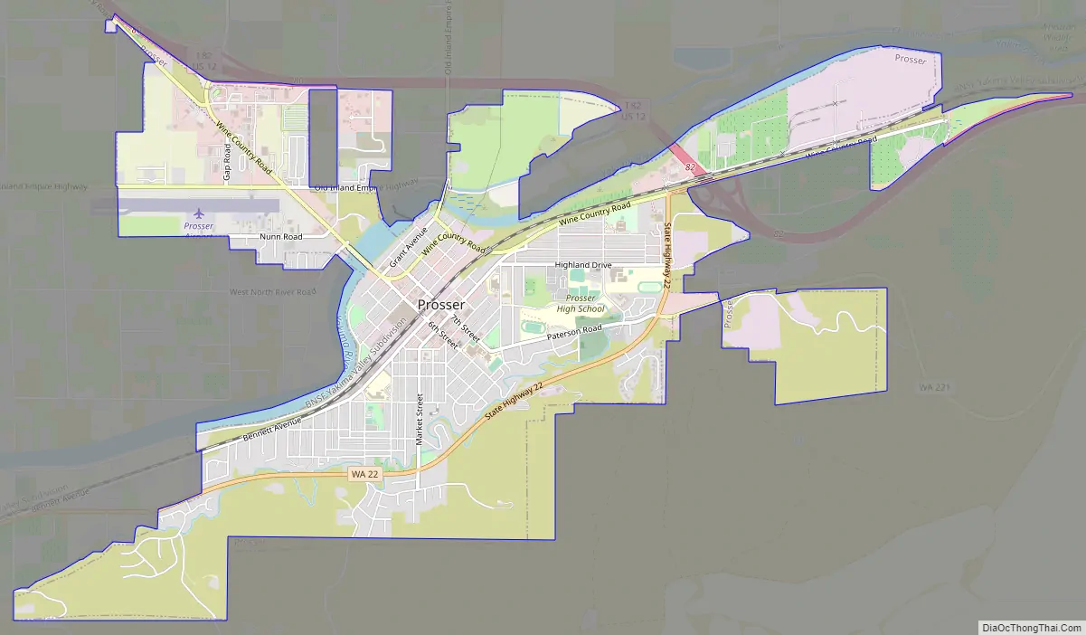
Prosser Road Map
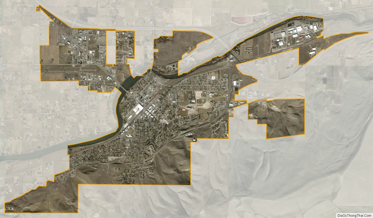
Prosser city Satellite Map
Geography
Prosser is located near the eastern end of the Yakima Valley. It is 665 ft above sea level. One river, the Yakima River, runs through it.
According to the United States Census Bureau, the city has a total area of 4.53 square miles (11.73 km), of which, 4.49 square miles (11.63 km) is land and 0.04 square miles (0.10 km) is water. The former community of Kinneyville is now a neighborhood fully contained within Prosser. The city has the ZIP code 99350.
Climate
Prosser experiences a semi-arid climate (Köppen BSk).
See also
Map of Washington State and its subdivision:- Adams
- Asotin
- Benton
- Chelan
- Clallam
- Clark
- Columbia
- Cowlitz
- Douglas
- Ferry
- Franklin
- Garfield
- Grant
- Grays Harbor
- Island
- Jefferson
- King
- Kitsap
- Kittitas
- Klickitat
- Lewis
- Lincoln
- Mason
- Okanogan
- Pacific
- Pend Oreille
- Pierce
- San Juan
- Skagit
- Skamania
- Snohomish
- Spokane
- Stevens
- Thurston
- Wahkiakum
- Walla Walla
- Whatcom
- Whitman
- Yakima
- Alabama
- Alaska
- Arizona
- Arkansas
- California
- Colorado
- Connecticut
- Delaware
- District of Columbia
- Florida
- Georgia
- Hawaii
- Idaho
- Illinois
- Indiana
- Iowa
- Kansas
- Kentucky
- Louisiana
- Maine
- Maryland
- Massachusetts
- Michigan
- Minnesota
- Mississippi
- Missouri
- Montana
- Nebraska
- Nevada
- New Hampshire
- New Jersey
- New Mexico
- New York
- North Carolina
- North Dakota
- Ohio
- Oklahoma
- Oregon
- Pennsylvania
- Rhode Island
- South Carolina
- South Dakota
- Tennessee
- Texas
- Utah
- Vermont
- Virginia
- Washington
- West Virginia
- Wisconsin
- Wyoming