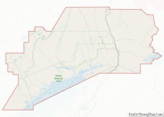
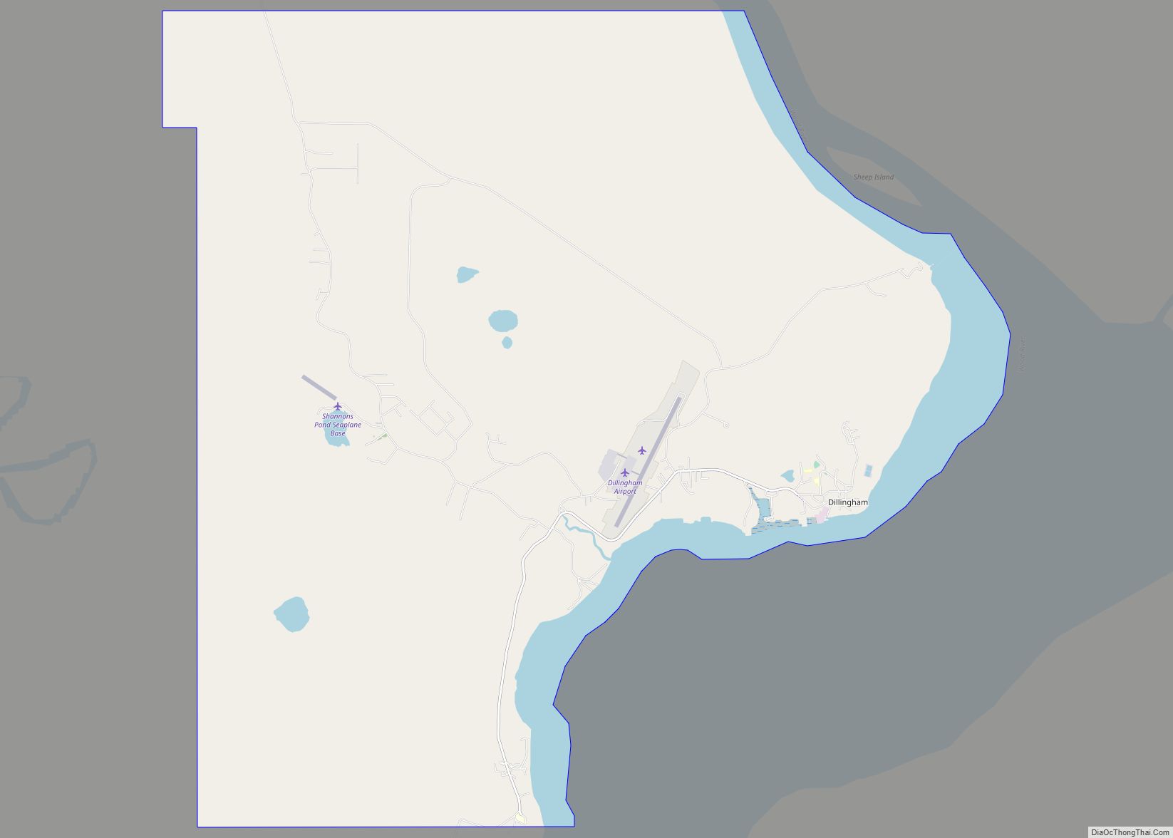
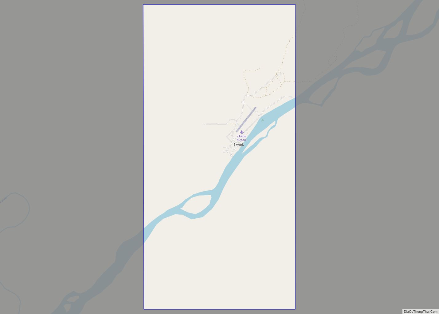
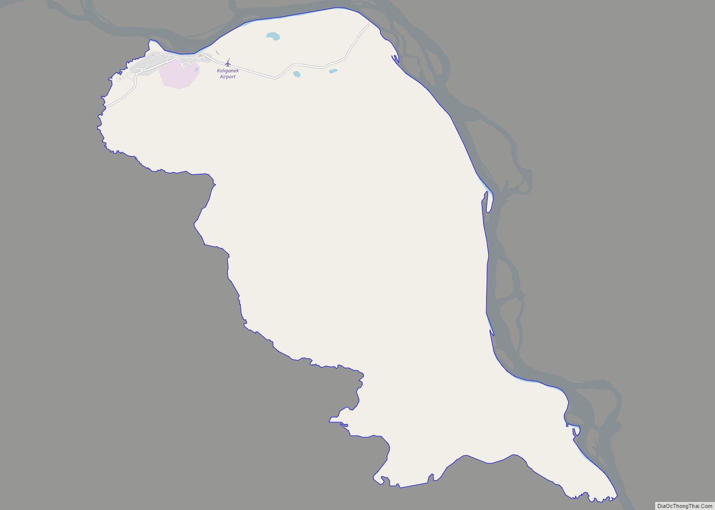
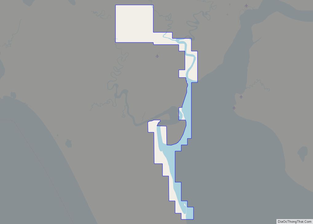
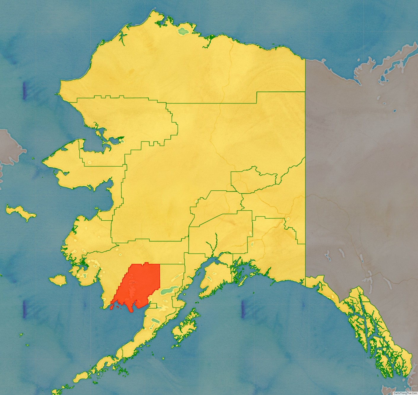
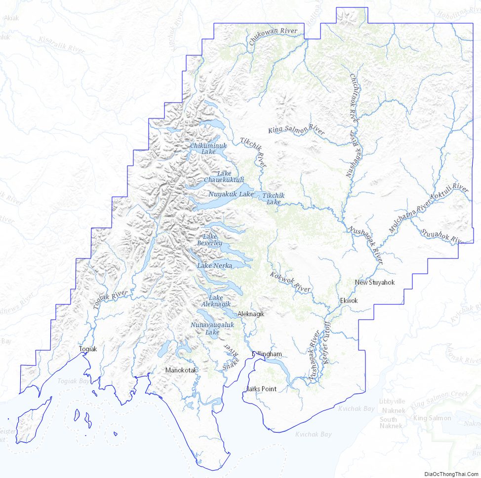
Dillingham Census Area is a census area located in the state of Alaska, United States. At the 2020 census, the population was 4,857, slightly up from 4,847 in 2010. It is part of the unorganized borough and therefore has no borough seat. Its largest community by far is the city of Dillingham, on a small arm of Bristol Bay on the Bering Sea.
| Name: | Dillingham Census Area |
|---|---|
| FIPS code: | 02-070 |
| State: | Alaska |
| Largest city: | Dillingham |
| Total Area: | 20,915 sq mi (54,170 km²) |
| Land Area: | 18,569 sq mi (48,090 km²) |
| Total Population: | 4,857 |
| Population Density: | 0.26/sq mi (0.10/km²) |
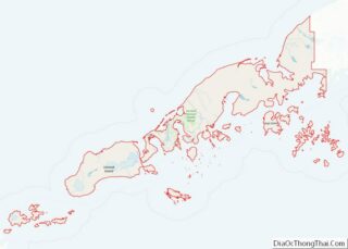
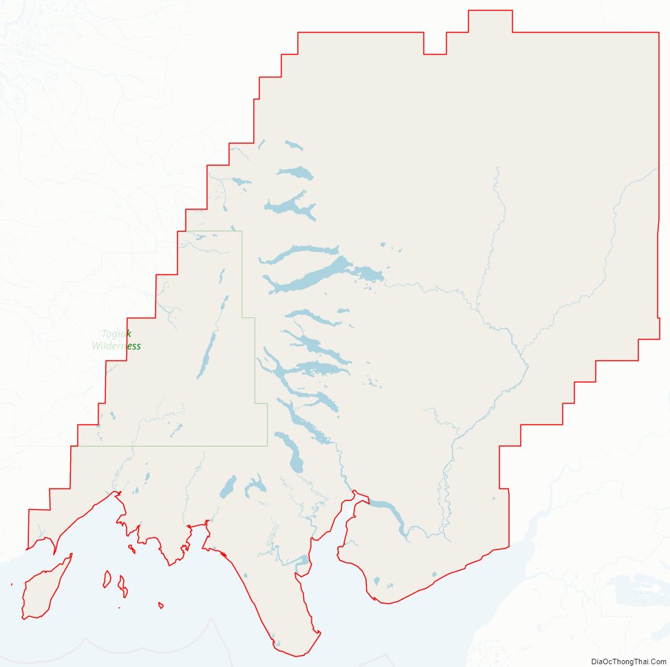
Dillingham Census Area location map. Where is Dillingham Census Area?
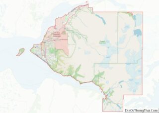
Dillingham Census Area Road Map
Geography
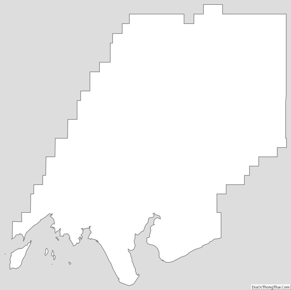
According to the U.S. Census Bureau, the census area has a total area of 20,915 square miles (54,170 km), of which 18,569 square miles (48,090 km) is land and 2,346 square miles (6,080 km) (11.2%) is water.
Adjacent boroughs and census areas
- Bethel Census Area, Alaska – west/north
- Bristol Bay Borough, Alaska
- Lake and Peninsula Borough, Alaska – east
National protected areas
- Alaska Maritime National Wildlife Refuge (part of the Bering Sea unit)
- Hagemeister Island
- Togiak National Wildlife Refuge (part)
- Togiak Wilderness (part)
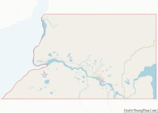
Dillingham Census Area Topographic Map
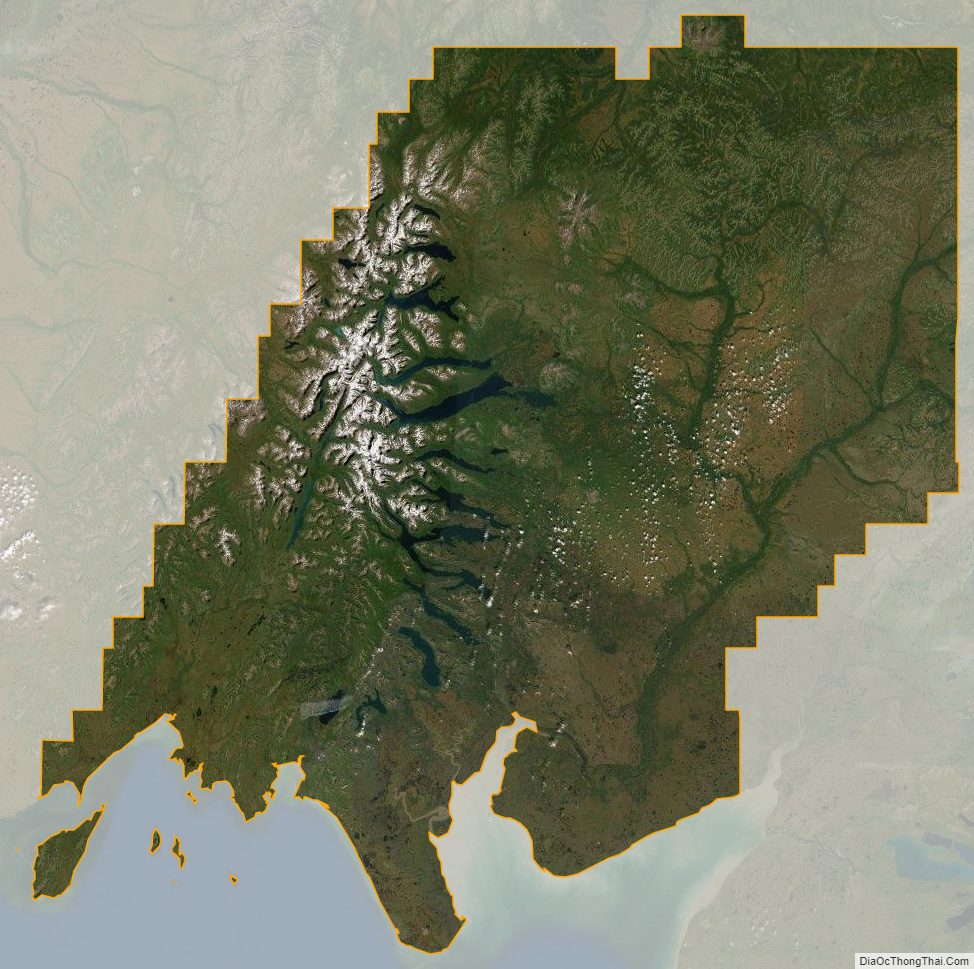
Dillingham Census Area Satellite Map
Dillingham Census Area Outline Map