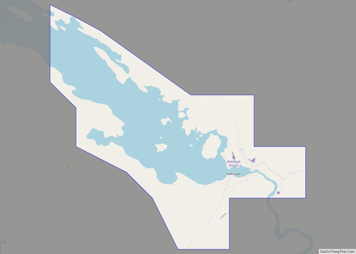
Aleknagik (/əˈlɛknəɡɪk/ ə-LEK-nə-gik; Central Yupik: Alaqnaqiq) is a second class city in the Dillingham Census Area of the Unorganized Borough of the U.S. state of Alaska. The population was 219 at the 2010 census, down from 221 in 2000.
| Name: | Aleknagik city |
|---|---|
| LSAD Code: | 25 |
| LSAD Description: | city (suffix) |
| State: | Alaska |
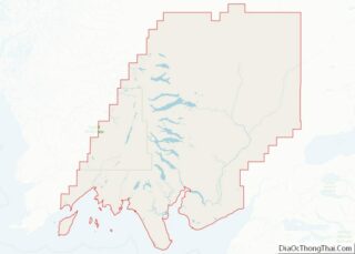
| County: | Dillingham Census Area |
| Incorporated: | March 26, 1973 |
| Elevation: | 36 ft (11 m) |
| Total Area: | 43.52 sq mi (112.71 km²) |
| Land Area: | 26.55 sq mi (68.76 km²) |
| Water Area: | 16.97 sq mi (43.95 km²) |
| Total Population: | 211 |
| Population Density: | 7.95/sq mi (3.07/km²) |
| ZIP code: | 99555 |
| Area code: | 907 |
| FIPS code: | 0201420 |
| GNISfeature ID: | 1398091 |
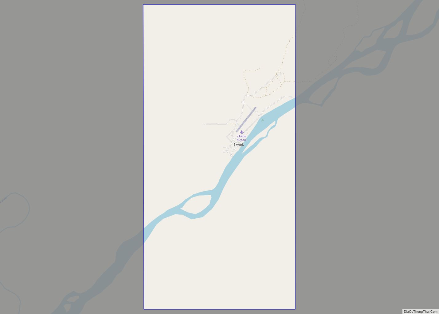
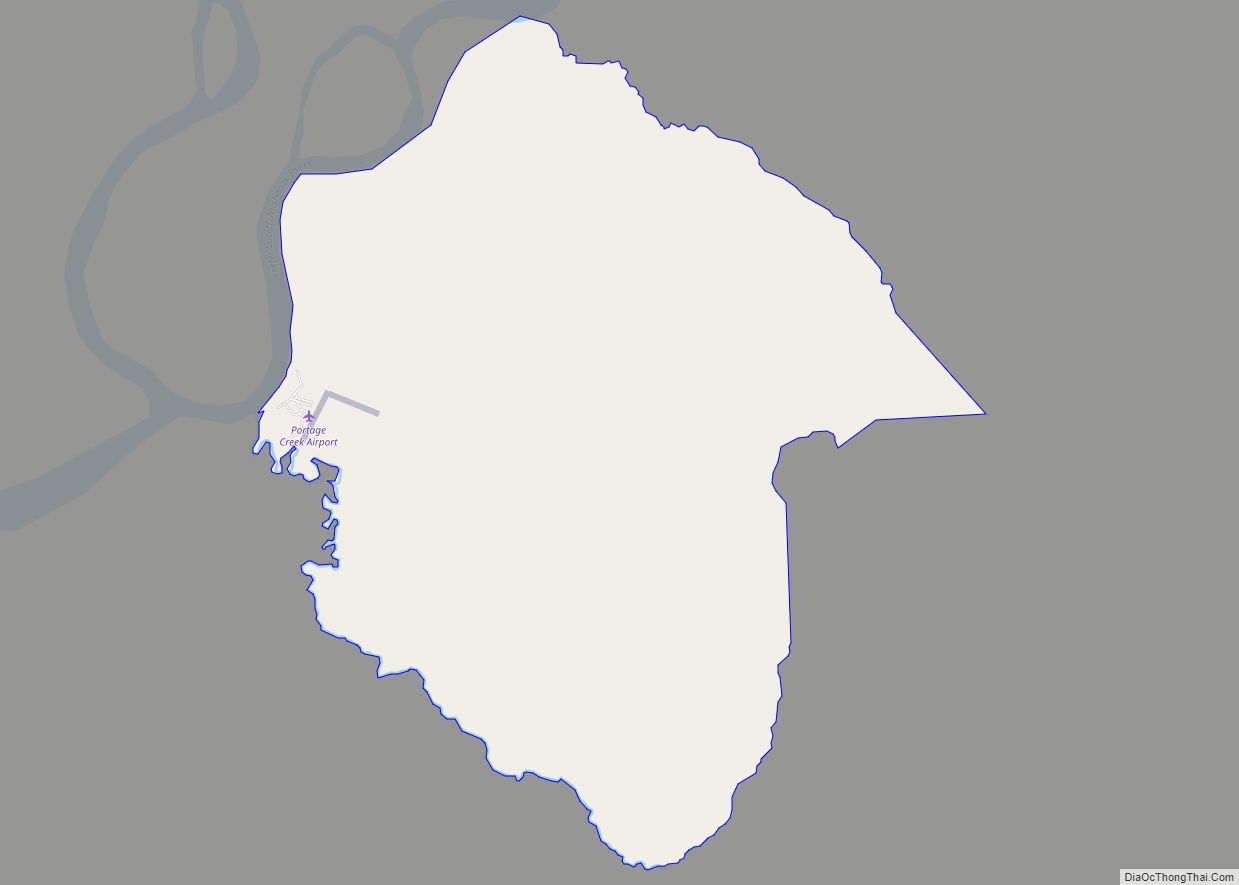
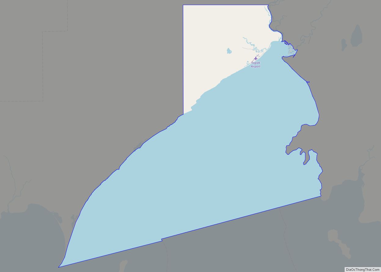
Online Interactive Map
Click on ![]() to view map in "full screen" mode.
to view map in "full screen" mode.
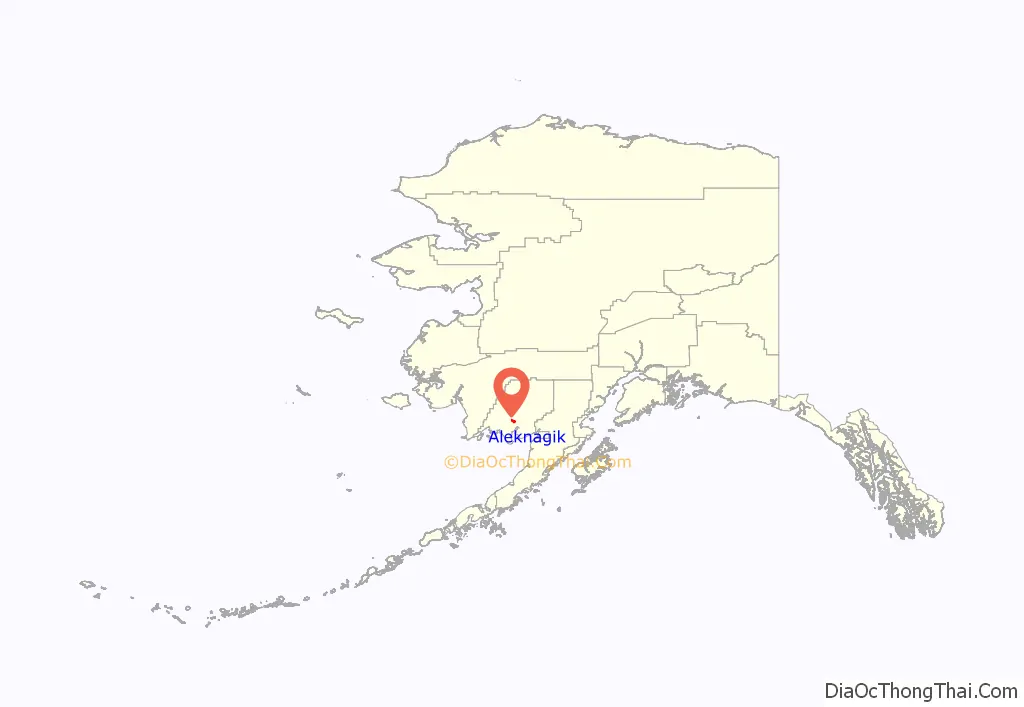
Aleknagik location map. Where is Aleknagik city?
History
Wood River and Aleknagik Lake have been used historically as summer fish camps. The spelling of the Yupik word “Aleknagik” has been disputed, because Yupik was an unwritten language. The name was described by the resident Yako family in 1930 as meaning “Wrong Way Home”, because Nushagak River residents returning to their homes upriver would sometimes become lost in the fog and find themselves swept up the Wood River with the tide, inadvertently arriving at Aleknagik Lake.
Recorded history may not define the exact place of Aleknagik, and various reports have reported the original site with the name “Alaqnaqiq” as far to the south near entrance to the Wood River. James Van Stone, an anthropologist who traveled to Saint Petersburg and read diaries of the Russian explorers from 1867, noted that explorers traveled to “Aleknagik Lake” (in a spelling that is Russian but sounds out to Aleknagik).
In 2005, the Alaska Department of Natural Resources applied to own the waterways and compiled an extensive history of the area in their application (see Links below).
The 1929 U.S. Census found 55 people living in the “Wood River village” area to the south. During 1930, there were five families living on the shores of the lake year-round, the Waskeys, Polleys, Hansons, Yakos, and Smiths. A log cabin territorial school was built on the south shore of the lake in 1933, and Josie Waskey was the first teacher. Attracted by the school, other facilities, and plentiful fish, game and timber, a number of families from the Goodnews, Togiak, and Kulukak areas relocated to Aleknagik. A post office was established in March 1937, with Mrs Mabel M. Smith as postmaster. A two-story framed school with a teacher apartment was constructed in 1938. By 1939, Aleknagik had 78 residents, over 30 buildings, and a small sawmill. In the late 1940s, a Seventh-day Adventist mission and school were established on the north shore. During the 1950s, a Moravian church and a Russian Orthodox church were built in Aleknagik, and over 35 families lived along the lake. In 1959, the state constructed a 25-mile (40 km) road connecting the south shore to Dillingham. The road was passable only during the summer months, until the late 1980s when it was upgraded and maintained year-round. The city was incorporated in 1973. Over 24 additional square miles were annexed to the city in April 2000.
In the mid-1950s, Moravian church members formed a colony on the north shore of the lake, across from the post office. The Moravian pastor and his wife’s family built homes there and remain in the community.
In the late 19th century there were about 200 people in Aleknagik and the other Wood River villages. Varied illnesses killed most of the residents of the villages. The few survivors moved out of the area. In fall of 1930, there was one Yupik family living at the top of the Wood River in Aleknagik, and the village grew to about 40 people by 1931. By 1940, Aleknagik had over 30 buildings, including a community school, church, and small sawmill. The local religious mission school, run by Seventh-day Adventists, brought several new families to Aleknagik. Other families came to the village because of the territorial school.
In 1938, a territorial school was constructed in Aleknagik. During this period, a Moravian church, a Russian Orthodox church and a Seventh-day Adventist mission school were established in the community. In 1959, the State of Alaska constructed a 22-mile (35 km) road connecting Aleknagik to Dillingham.
The Aleknagik Traditional Council, a federally-recognized tribe, is located in the community.
In August 2010, an airplane carrying former Senator Ted Stevens crashed near Alegnagik, resulting in the death of Stevens and four others.
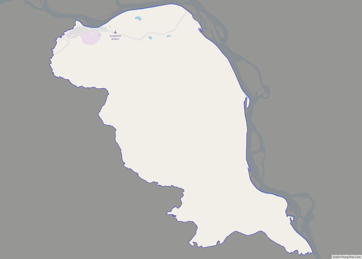
Aleknagik Road Map

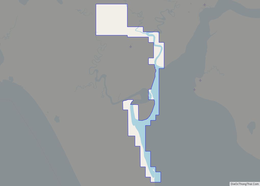
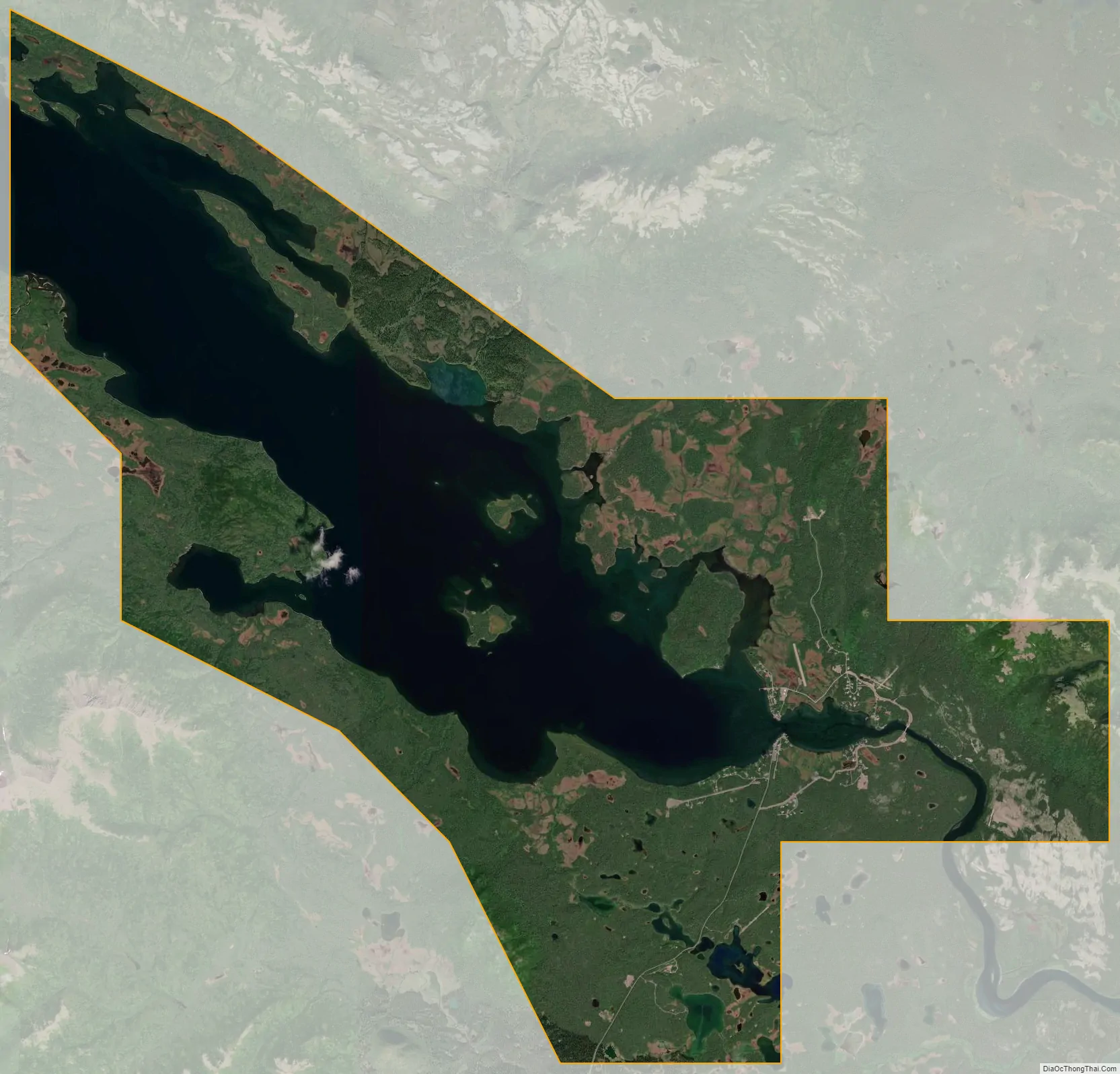
Aleknagik city Satellite Map
Geography
Aleknagik is located at 59°16′42″N 158°37′23″W / 59.27833°N 158.62306°W / 59.27833; -158.62306 (59.278362, -158.622928) (Sec. 31, T010S, R055W, Seward Meridian), in the Bristol Bay Recording District.
Aleknagik is located at the head of the Wood River on the southeast end of Lake Aleknagik, 16 miles (26 km) northwest of Dillingham. The city is named after Aleknagik Lake.
According to the United States Census Bureau, the city has a total area of 41.5 square miles (107.5 km), of which 24.5 square miles (63.5 km) is land and 17.0 square miles (44.0 km), or 40.89%, is water.
See also
Map of Alaska State and its subdivision:- Aleutians East
- Aleutians West
- Anchorage
- Bethel
- Bristol Bay
- Denali
- Dillingham
- Fairbanks North Star
- Haines
- Juneau
- Kenai Peninsula
- Ketchikan Gateway
- Kodiak Island
- Lake and Peninsula
- Matanuska-Susitna
- Nome
- North Slope
- Northwest Arctic
- Prince of Wales-Outer Ketchi
- Sitka
- Skagway-Yakutat-Angoon
- Southeast Fairbanks
- Valdez-Cordova
- Wade Hampton
- Wrangell-Petersburg
- Yukon-Koyukuk
- Alabama
- Alaska
- Arizona
- Arkansas
- California
- Colorado
- Connecticut
- Delaware
- District of Columbia
- Florida
- Georgia
- Hawaii
- Idaho
- Illinois
- Indiana
- Iowa
- Kansas
- Kentucky
- Louisiana
- Maine
- Maryland
- Massachusetts
- Michigan
- Minnesota
- Mississippi
- Missouri
- Montana
- Nebraska
- Nevada
- New Hampshire
- New Jersey
- New Mexico
- New York
- North Carolina
- North Dakota
- Ohio
- Oklahoma
- Oregon
- Pennsylvania
- Rhode Island
- South Carolina
- South Dakota
- Tennessee
- Texas
- Utah
- Vermont
- Virginia
- Washington
- West Virginia
- Wisconsin
- Wyoming