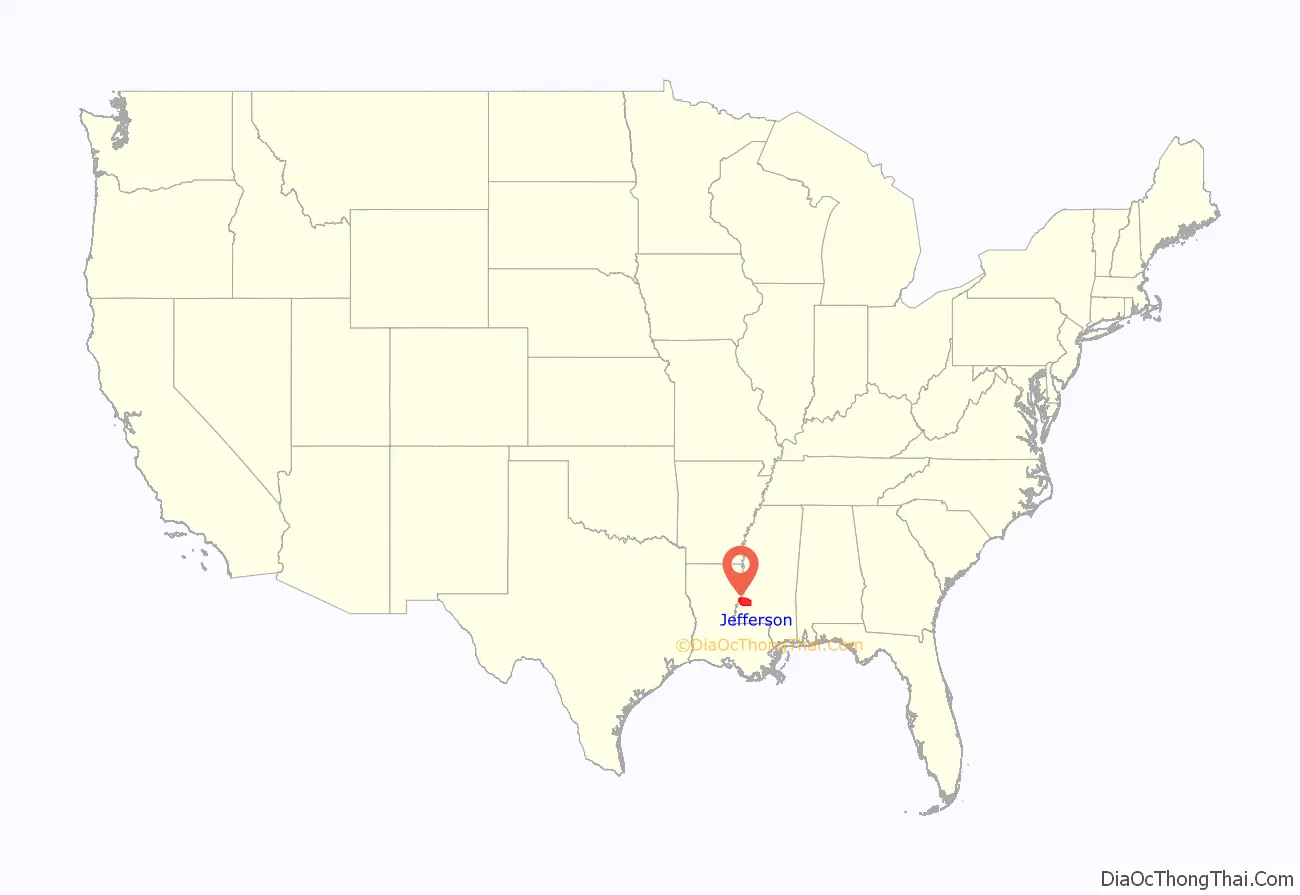
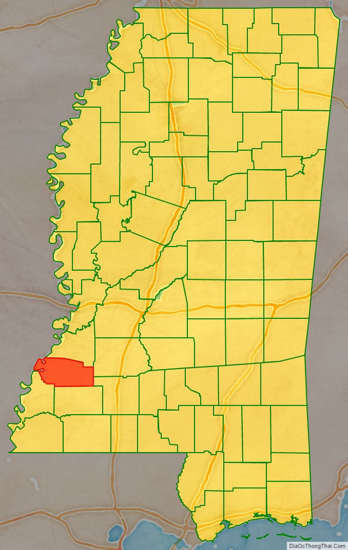
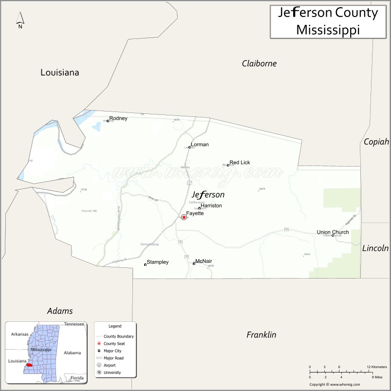
Jefferson County is a county located in the U.S. state of Mississippi; its western border is formed by the Mississippi River. As of the 2020 census, the population was 7,260, making it the fourth-least populous county in Mississippi. Its county seat is Fayette. The county is named for U.S. President Thomas Jefferson.
Originally developed as cotton plantations in the antebellum era, the rural county has struggled with a declining economy and reduced population since the mechanization of agriculture and urbanization of other areas. In 2020, its population of 7,260 was roughly one-third of the population peak in 1900. Within the United States, in 2009 rural Jefferson County had the highest percentage of African-Americans of any county. It was the fourth-poorest county in the nation.
| Name: | Jefferson County |
|---|---|
| FIPS code: | 28-063 |
| State: | Mississippi |
| Founded: | 1799 |
| Named for: | Thomas Jefferson |
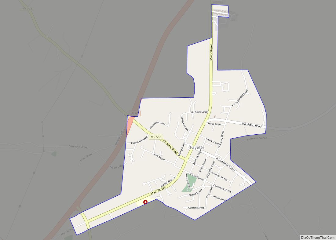
| Seat: | Fayette |
| Largest city: | Fayette |
| Total Area: | 527 sq mi (1,360 km²) |
| Land Area: | 520 sq mi (1,300 km²) |
| Total Population: | 7,260 |
| Population Density: | 14/sq mi (5.3/km²) |
| Time zone: | UTC−6 (Central) |
| Summer Time Zone (DST): | UTC−5 (CDT) |
| Website: | www.jeffersoncountyms.com |
Jefferson County location map. Where is Jefferson County?
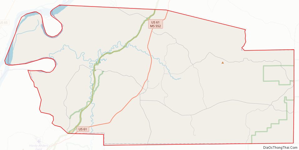
Jefferson County Road Map
Geography
According to the U.S. Census Bureau, the county has a total area of 527 square miles (1,360 km), of which 520 square miles (1,300 km) is land and 7.3 square miles (19 km) (1.4%) is water.
Major highways
- U.S. Highway 61
- Mississippi Highway 28
- Mississippi Highway 33
Adjacent counties
- Claiborne County (north)
- Copiah County (northeast)
- Lincoln County (southeast)
- Franklin County (south)
- Adams County (southwest)
- Tensas Parish, Louisiana (west)
National protected areas
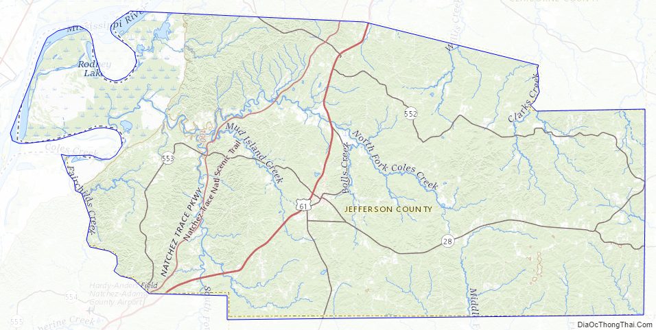
- Homochitto National Forest (part)
- Natchez Trace Parkway (part)
Jefferson County Topographic Map
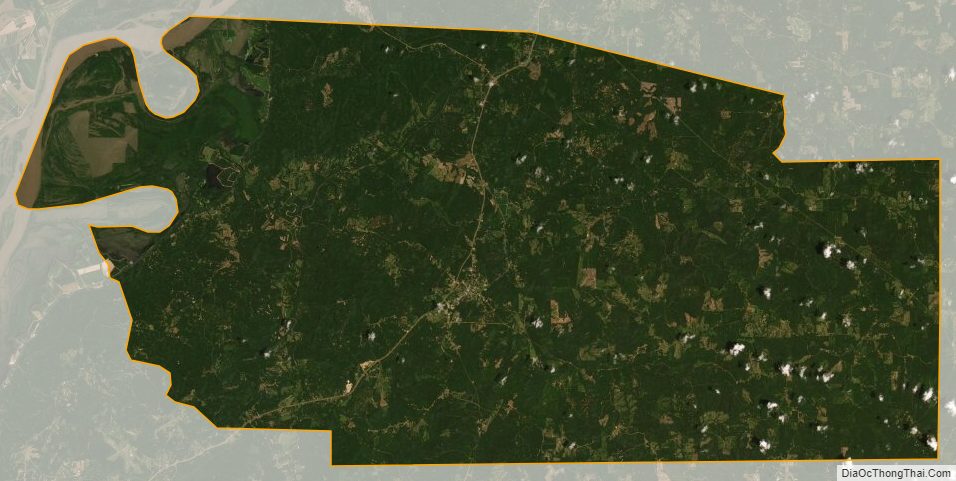
Jefferson County Satellite Map
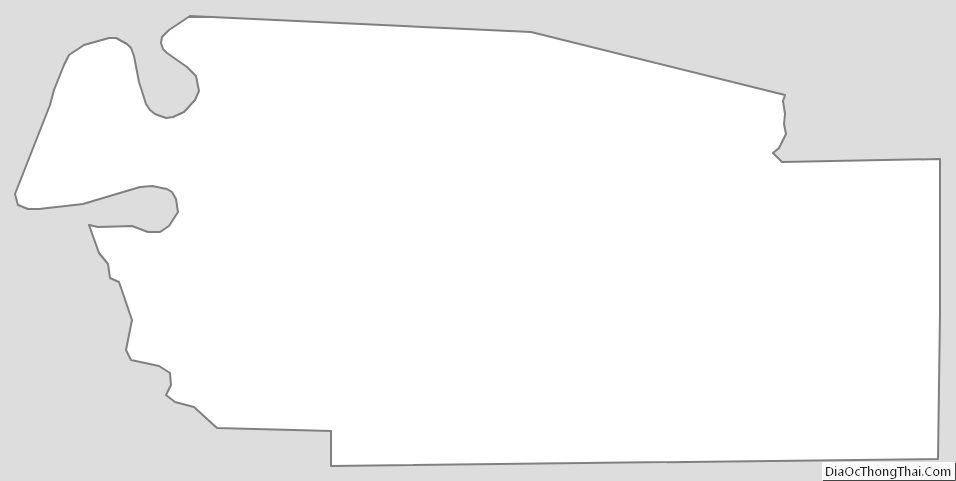
Jefferson County Outline Map