| Name: | Aleutians West Census Area |
|---|---|
| FIPS code: | 02-016 |
| State: | Alaska |
| Named for: | Aleutian Islands |
| Largest city: | Unalaska |
| Total Area: | 14,116 sq mi (36,560 km²) |
| Land Area: | 4,390 sq mi (11,400 km²) |
| Total Population: | 5,232 |
| Population Density: | 1.27/sq mi (0.49/km²) |
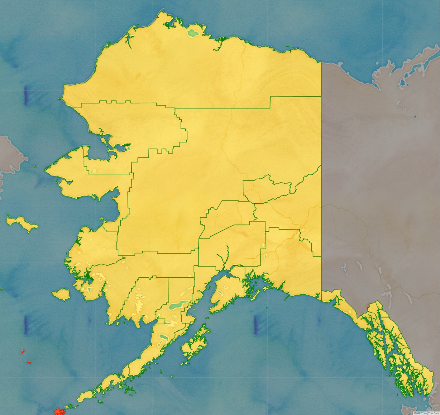
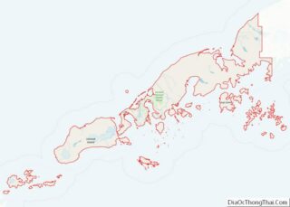
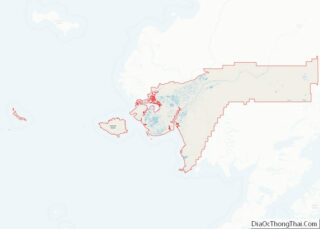
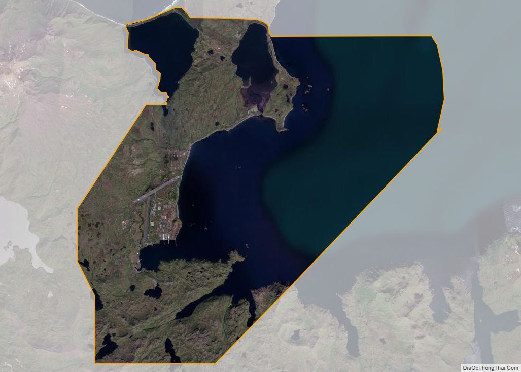
Aleutians West Census Area location map. Where is Aleutians West Census Area?
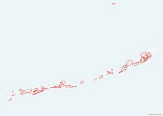
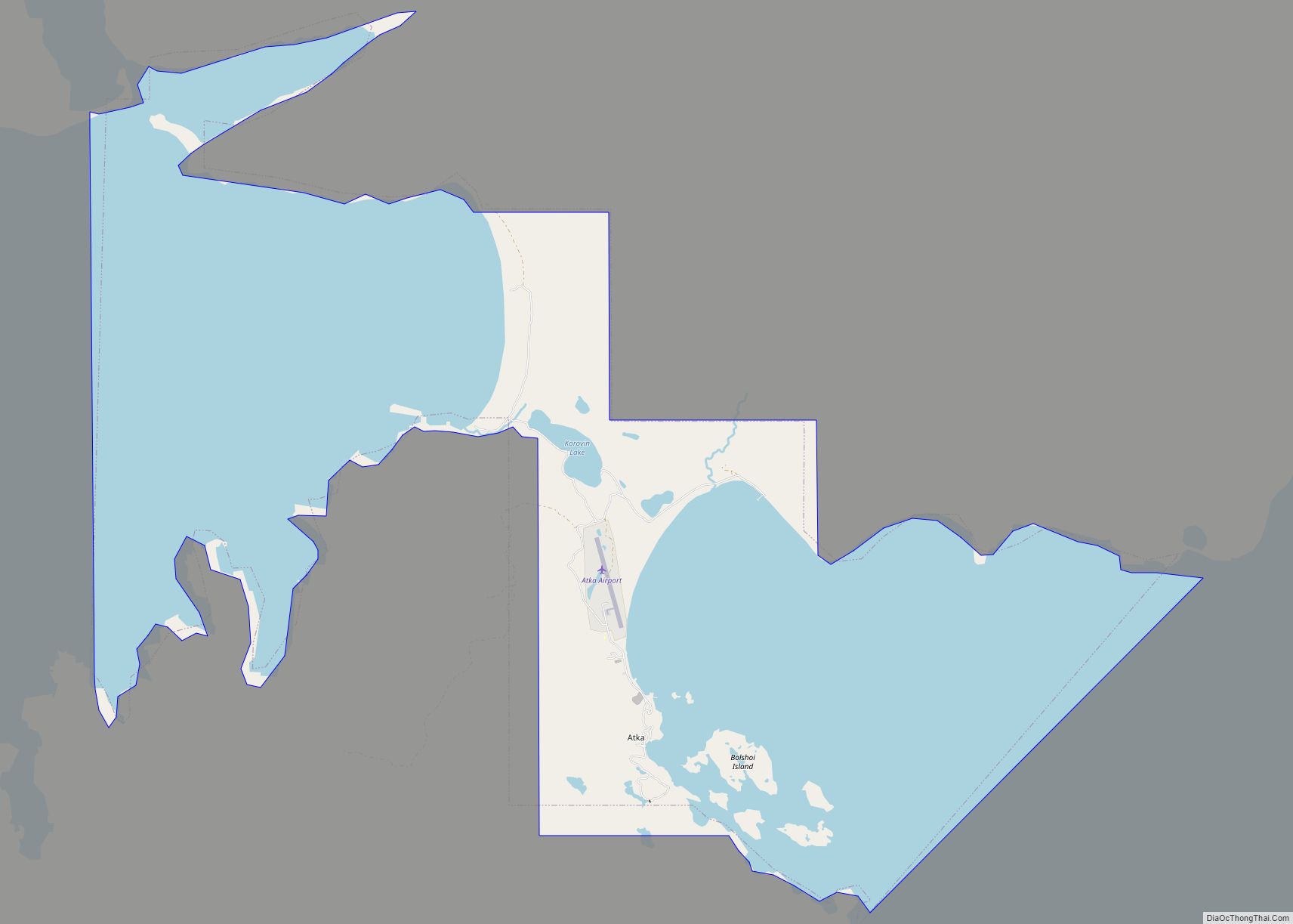
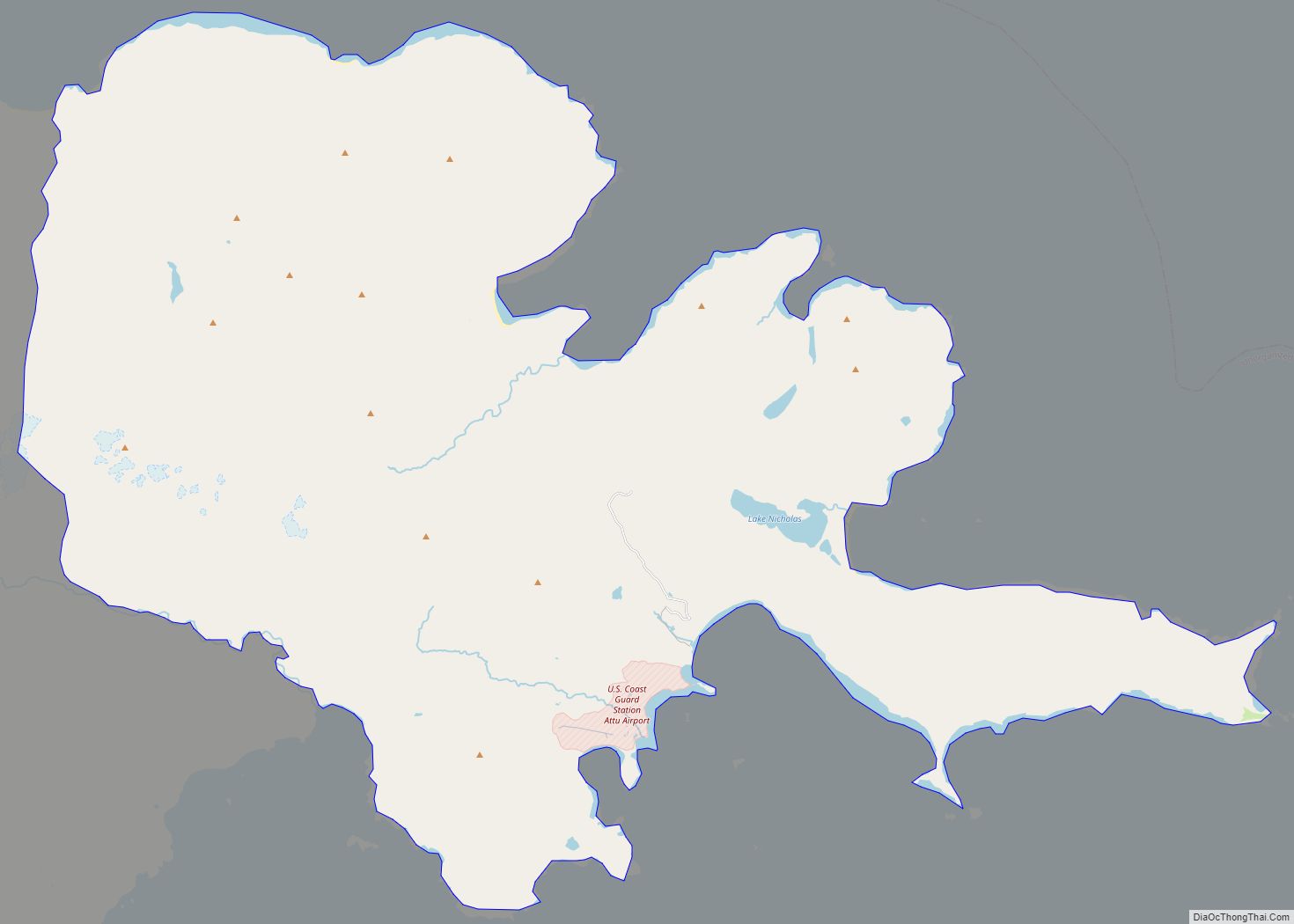
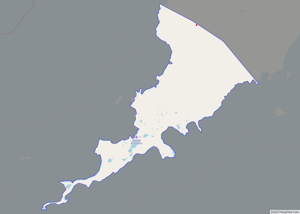
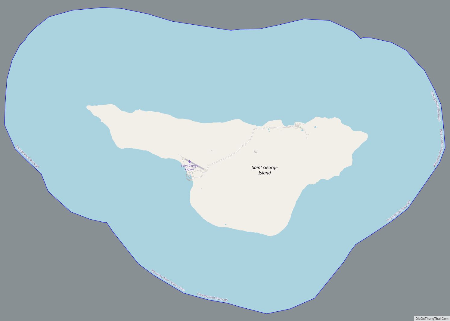
Aleutians West Census Area Road Map
Geography
According to the U.S. Census Bureau, the census area has a total area of 14,116 square miles (36,560 km), of which 4,390 square miles (11,400 km) is land and 9,726 square miles (25,190 km) (68.9%) is water. It borders the Aleutians East Borough to the east.
National protected areas
- Alaska Maritime National Wildlife Refuge (part of the Aleutian Islands and Bering Sea units)
- Aleutian Islands Wilderness (part)
- Bogoslof Wilderness
- Pribilof Islands
- Aleutian World War II National Historic Area
