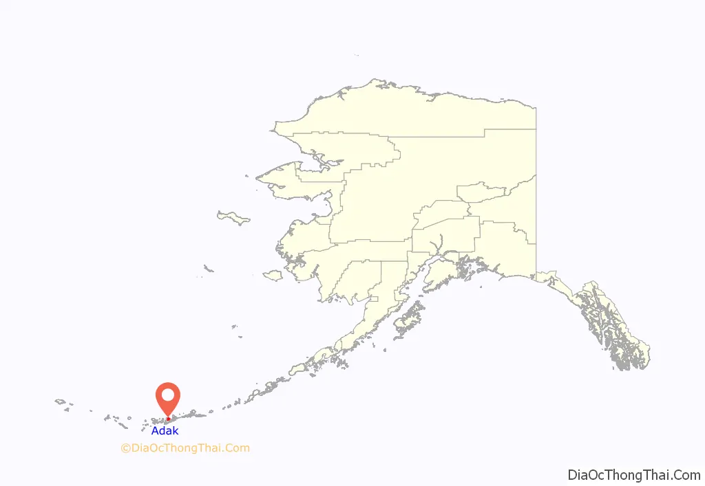
Adak (/ˈeɪdæk/, Aleut: Adaax, Russian: Адак), formerly Adak Station, is a city located on Adak Island, in the Aleutians West Census Area, Alaska, United States. At the 2020 census, the population was 171, down from 326 in 2010. It is the westernmost municipality in the United States and the southernmost city in Alaska. (See Extreme points of the United States.) The city is the former location of the Adak Navy Base and Adak Naval Operating Base, NAVFAC Adak.
| Name: | Adak city |
|---|---|
| LSAD Code: | 25 |
| LSAD Description: | city (suffix) |
| State: | Alaska |
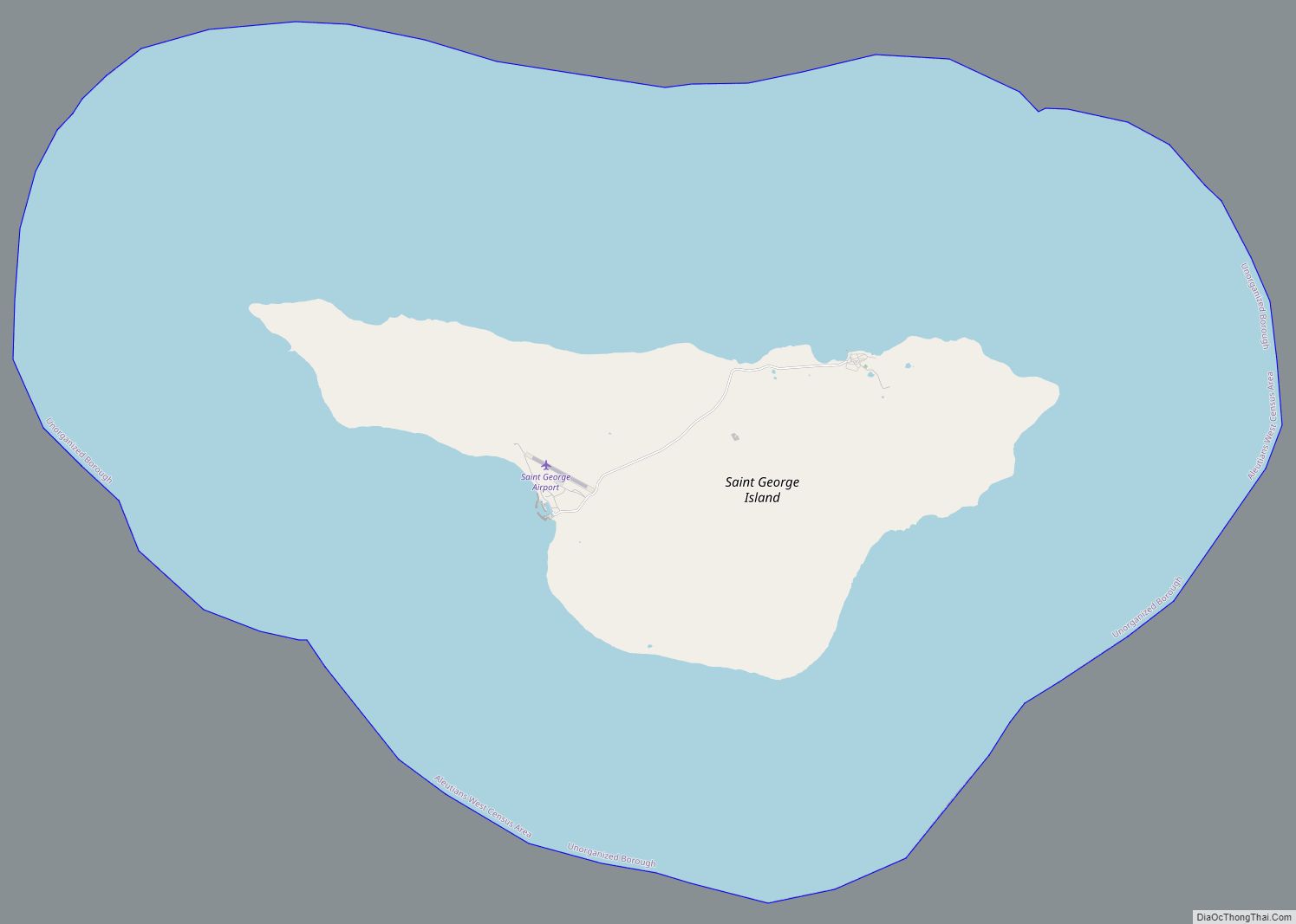
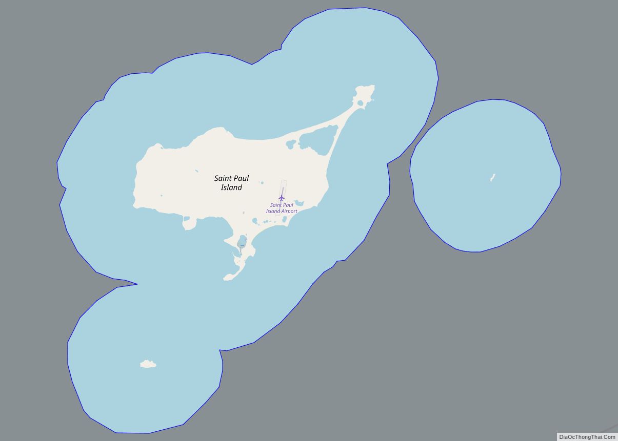
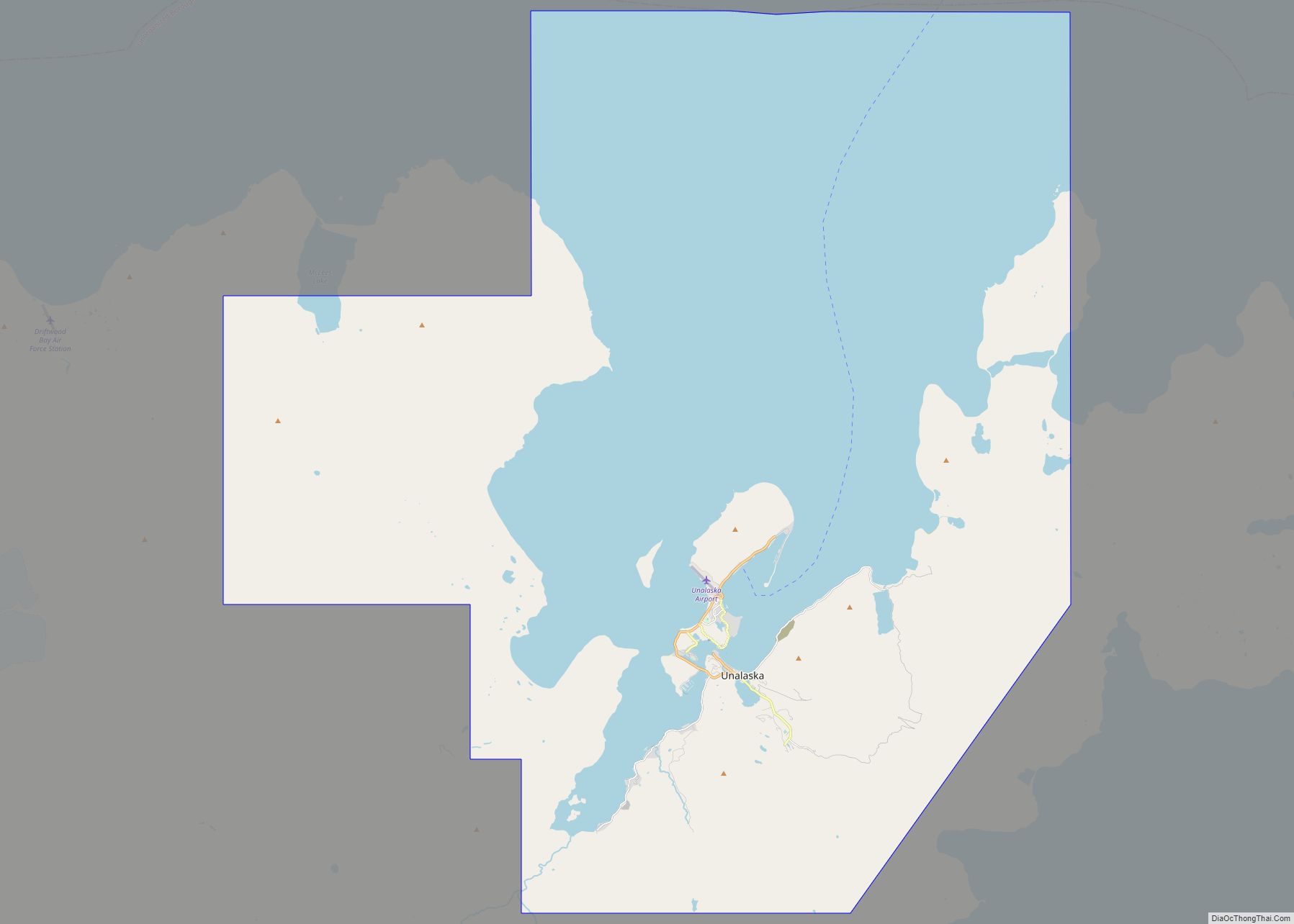
| County: | Aleutians West Census Area |
| Incorporated: | 2001 |
| Elevation: | 164 ft (50 m) |
| Total Area: | 71.47 sq mi (185.10 km²) |
| Land Area: | 32.43 sq mi (84.00 km²) |
| Water Area: | 39.03 sq mi (101.10 km²) |
| Total Population: | 171 |
| Population Density: | 5.27/sq mi (2.04/km²) |
| ZIP code: | 99546 |
| Area code: | 907 |
| FIPS code: | 0200065 |
| GNISfeature ID: | 1418109 |
| Website: | adak-ak.gov |
Online Interactive Map
Click on ![]() to view map in "full screen" mode.
to view map in "full screen" mode.
Adak location map. Where is Adak city?
History
19th century
The Aleutian Islands were historically occupied by the Unanga, more commonly known now as the Aleuts. The once heavily populated island was eventually abandoned in the early 19th century as the Aleutian Island hunters followed the Russian fur trade eastward, and famine set in on the Andreanof Island group. However, they continued to hunt and fish actively around the island over the years, until World War II broke out.
Adak Army installations allowed U.S. and Canadian forces to mount a successful offensive against the Japanese-held islands of Kiska and Attu. After the war, Adak was developed as a naval air station, playing an important role during the Cold War as a submarine surveillance center. Large earthquakes rocked the island in 1957, 1964 and 1977.
At its peak, the station housed over 6,000 naval and Coast Guard personnel and their families. In 1994, the base was downsized, and both family housing and schools were closed. The station officially closed on March 31, 1997, as a result of 1995 Base Realignment and Closure Commission (BRAC). The Aleut Corporation purchased Adak’s facilities under a land transfer agreement with the Department of the Interior and the U.S. Navy/Department of Defense. This agreement was finalized in March, 2004. About 30 families with children relocated to Adak in September 1998, most of them Aleut Corp. shareholders, and the former high school was reopened at that time as a K–12 institution. The community incorporated as a second-class city in April, 2001. Substantially all of the infrastructure and facilities on Adak are owned by Aleut Corporation, which is currently developing Adak as a commercial center via their subsidiary companies. For example, properties in active use are leased by Adak Commercial Properties, LLC.
Since World War II, the U.S. Navy and Coast Guard developed facilities and recreation opportunities at Adak. At its peak, Adak had a college, a McDonald’s restaurant, a Baskin-Robbins ice cream stand, movie theater, roller skating rink, swimming pool, ski lodge, bowling alleys, skeet range, auto hobby shop, photo lab, and racquetball & tennis courts. A new $18-million hospital was built in 1990, just seven years prior to the closure of the station. By March 2003, six years after the closure of the station, most of these facilities had closed.
As of March 2021, the U.S. Navy is considering reopening the air base at Adak.
Adak Road Map

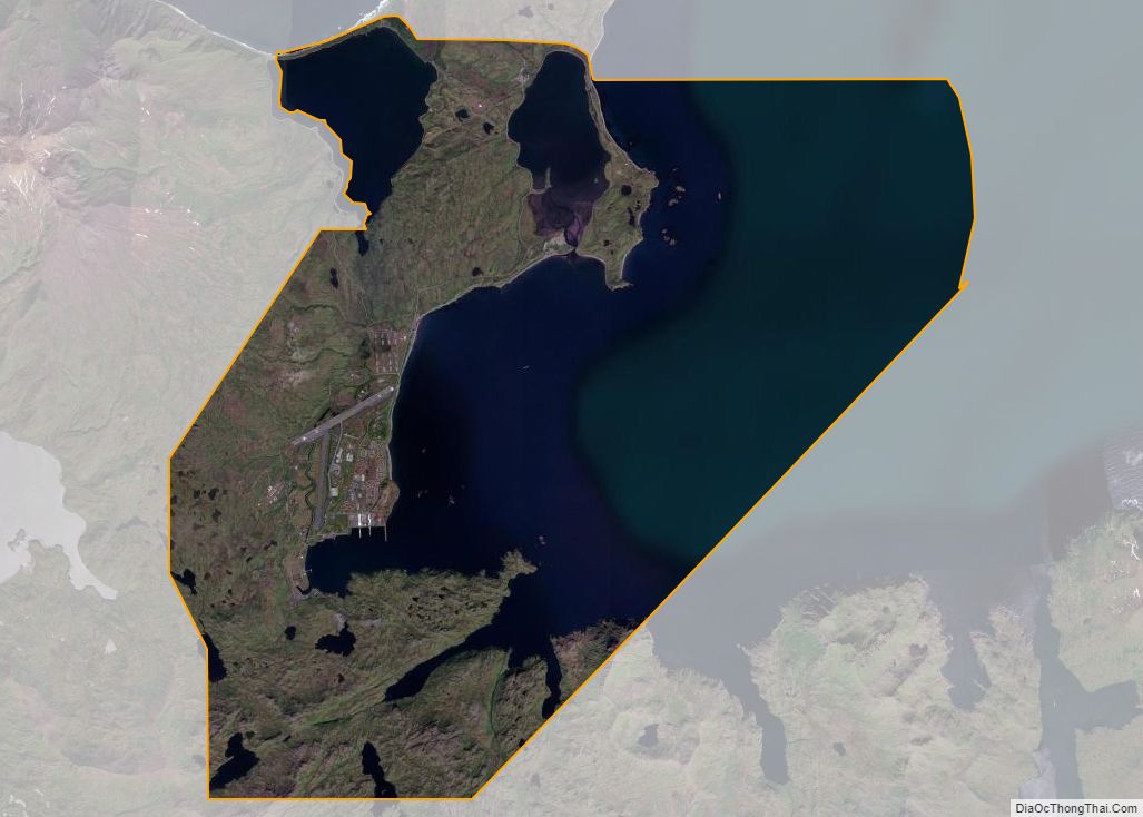
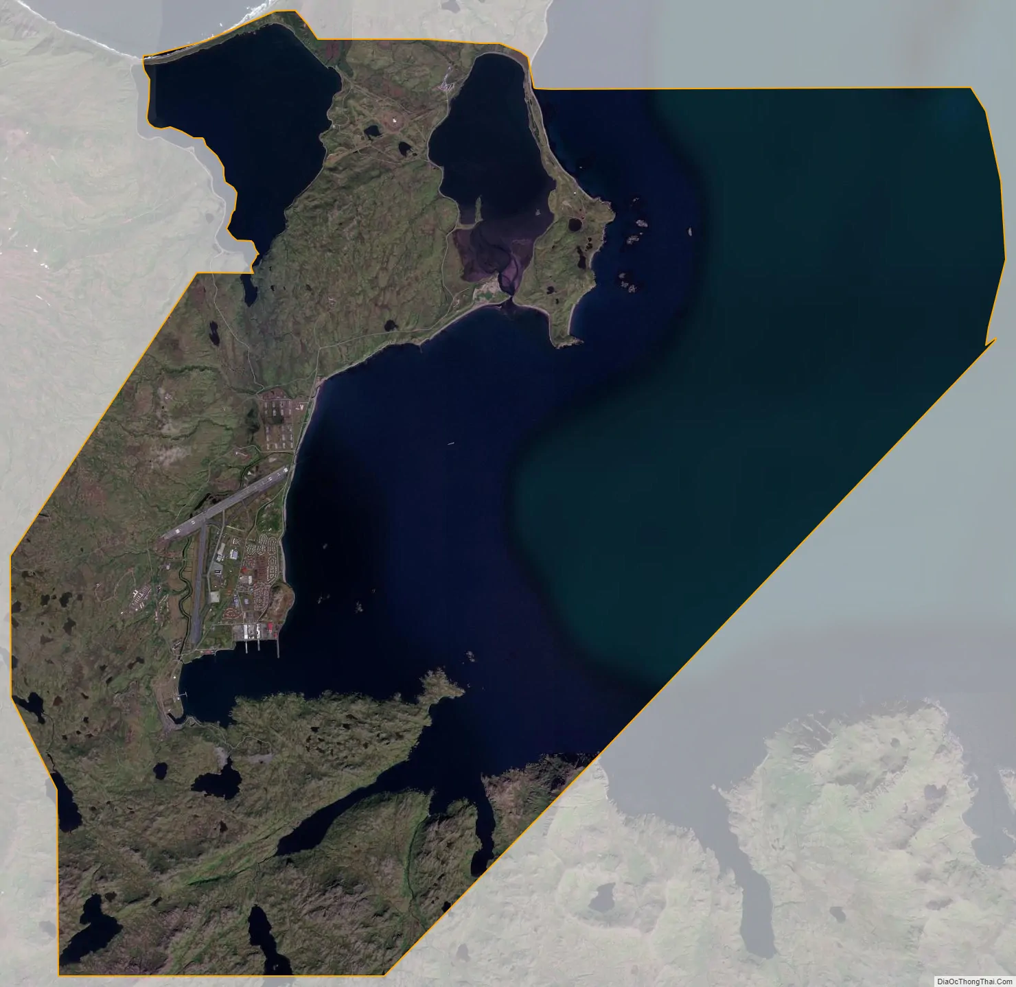
Adak city Satellite Map
Geography
Adak is located on Kuluk Bay, on Adak Island, in the Andreanof Islands group of the Aleutian Islands Recording District, and in the 3rd Judicial District. It lies 1,200 miles (1,930 km) southwest of Anchorage and 450 miles (724 km) west of Dutch Harbor at 51.872° North, 176.636° West (Sec. 10, T096S, R195W, Seward Meridian), near the Russian end of the arc that makes up this volcanic island chain. Flight time to Anchorage is 3 hours or longer, depending on weather. Adak is the southernmost community in Alaska and on the same latitude as Haida Gwaii in Canada, and Brussels, Belgium. It is less than three degrees of latitude north of the 49th parallel, which forms the western part of the land border between the Contiguous United States and Canada.
According to the U.S. Census Bureau, the city has a total area of 127.3 square miles (330 km), of which 122.4 square miles (317 km) is land and 4.9 square miles (13 km) (3.87%) is water.
See also
Map of Alaska State and its subdivision:- Aleutians East
- Aleutians West
- Anchorage
- Bethel
- Bristol Bay
- Denali
- Dillingham
- Fairbanks North Star
- Haines
- Juneau
- Kenai Peninsula
- Ketchikan Gateway
- Kodiak Island
- Lake and Peninsula
- Matanuska-Susitna
- Nome
- North Slope
- Northwest Arctic
- Prince of Wales-Outer Ketchi
- Sitka
- Skagway-Yakutat-Angoon
- Southeast Fairbanks
- Valdez-Cordova
- Wade Hampton
- Wrangell-Petersburg
- Yukon-Koyukuk
- Alabama
- Alaska
- Arizona
- Arkansas
- California
- Colorado
- Connecticut
- Delaware
- District of Columbia
- Florida
- Georgia
- Hawaii
- Idaho
- Illinois
- Indiana
- Iowa
- Kansas
- Kentucky
- Louisiana
- Maine
- Maryland
- Massachusetts
- Michigan
- Minnesota
- Mississippi
- Missouri
- Montana
- Nebraska
- Nevada
- New Hampshire
- New Jersey
- New Mexico
- New York
- North Carolina
- North Dakota
- Ohio
- Oklahoma
- Oregon
- Pennsylvania
- Rhode Island
- South Carolina
- South Dakota
- Tennessee
- Texas
- Utah
- Vermont
- Virginia
- Washington
- West Virginia
- Wisconsin
- Wyoming