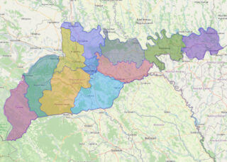
Chernivtsi Oblast (Ukrainian: Черніве́цька о́бласть, romanized: Chernivetska oblast), also referred to as Chernivechchyna (Ukrainian: Чернівеччина), is an oblast (province) in Western Ukraine, consisting of the northern parts of the regions of Bukovina and Bessarabia. It has an international border with Romania and Moldova. The oblast is the smallest in Ukraine both by area and population. ... Read more
Map of All Oblasts of Ukraine
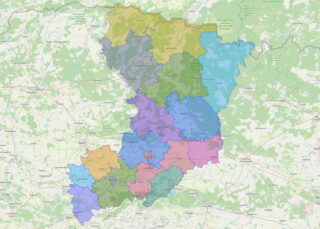
Rivne Oblast (Ukrainian: Рі́вненська о́бласть, romanized: Rivnenska oblast), also referred to as Rivnenshchyna (Рі́вненщина), is an oblast (province) in western Ukraine. Its administrative center is Rivne. The surface area of the region is 20,100 square kilometres (7,800 sq mi). Its population is: 1,141,784 (2022 est.). Before its annexation by the Soviet Union during World War II, the ... Read more
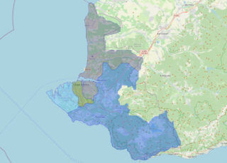
Sevastopol (/ˌsɛvəˈstoʊpəl, səˈvæstəpoʊl/ SE-və-STOH-pəl, sə-VAS-tə-pohl), sometimes written Sebastopol, is the largest city in Crimea and a major port on the Black Sea. Due to its strategic location and the navigability of the city’s harbours, Sevastopol has been an important port and naval base throughout its history. Since the city’s founding in 1783 it has ... Read more


