Map of Can Tho city

Map of Can Tho city

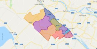
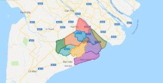
Can Tho (Standard Vietnamese:, Southern accent: ) is the fourth largest city in Vietnam, and the largest city in the Mekong Delta. It is noted for its floating market, rice paper-making village, and picturesque rural canals. It had a population of 1.2 million, it has population of 1,520,000 until June 2018, and is located on … Read more

Map of Phu Tho province

Map of Phu Tho province

Phu Tho is a province in northern Vietnam. Its capital is Viet Tri, which is 80 km from Hanoi and 50 km from Noi Bai International Airport. The province covers an area of 3528.1 square kilometres and, as of 2008, it had a population of 1,364,700. The history of Phu Tho is linked to the … Read more

Map of Soc Trang province

Map of Soc Trang province

Soc Trang is a province in the Mekong Delta of southern Vietnam, with its capital in Soc Trang. The province occupies an area of 3,223 km², and has a population of approximately 1,213,400. Political Map of Soc Trang province Interactive online map of Soc Trang Click on to view map in “full screen” mode. Source: … Read more

Map of Ha Tinh province

Map of Ha Tinh province

Ha Tinh is a province on the North Central Coast of Vietnam. Together with neighbouring Nghe An Province the two provinces are together called “Nghe Tinh”, and the locals are known for speaking Vietnamese with a very noticeable accent. Ha Tinh Province is located in the northern part of central Vietnam, about 340 km (211 … Read more