| Name: | Clay County |
|---|---|
| FIPS code: | 48-077 |
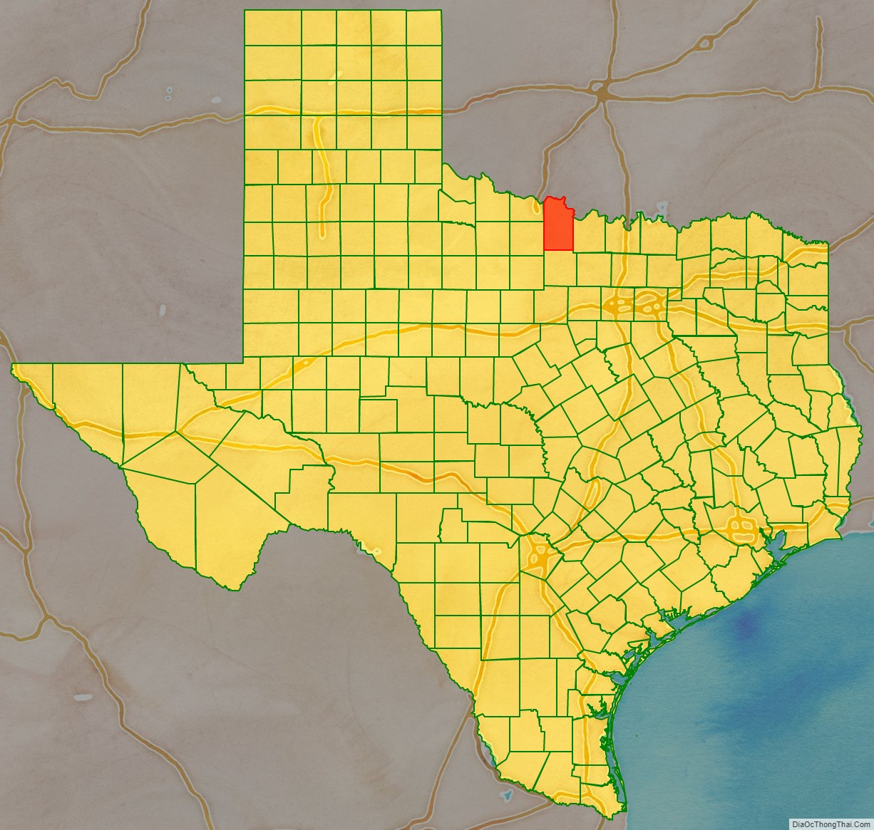
| State: | Texas |
| Founded: | 1860 |
| Named for: | Henry Clay |
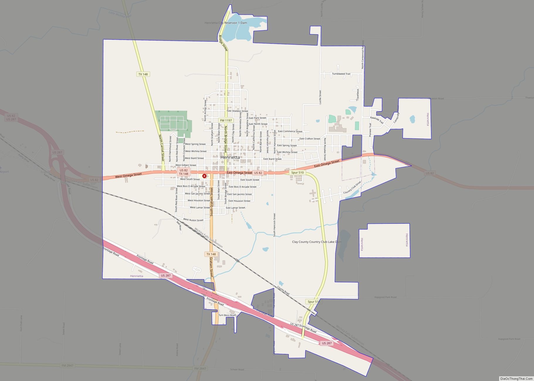
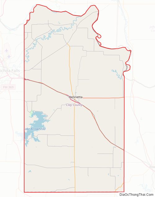
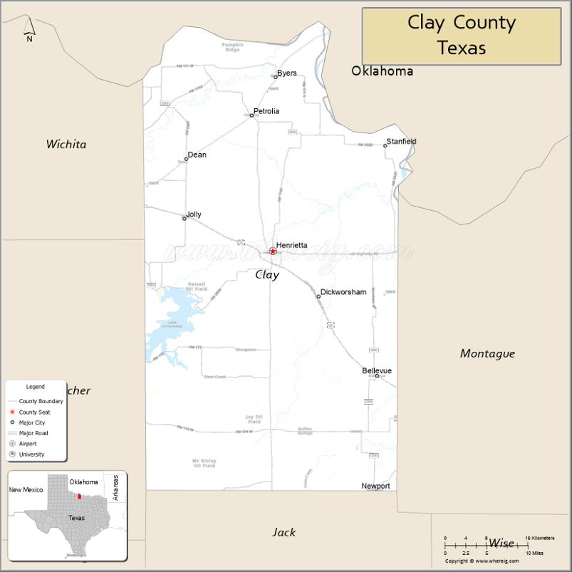
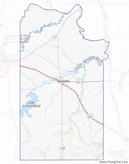
| Seat: | Henrietta |
| Largest city: | Henrietta |
| Total Area: | 1,117 sq mi (2,890 km²) |
| Land Area: | 1,089 sq mi (2,820 km²) |
| Total Population: | 10,218 |
| Population Density: | 9.1/sq mi (3.5/km²) |
| Time zone: | UTC−6 (Central) |
| Summer Time Zone (DST): | UTC−5 (CDT) |
| Website: | www.co.clay.tx.us |
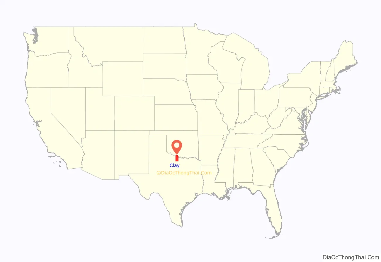
Clay County location map. Where is Clay County?
Clay County Road Map
Geography
According to the U.S. Census Bureau, the county has a total area of 1,117 square miles (2,890 km), of which 1,089 square miles (2,820 km) is land and 28 square miles (73 km) (2.5%) is water.
Lake Arrowhead State Park, a 524-acre (212 ha) development on Lake Arrowhead in Clay County, encompasses 14,390-acre (5,820 ha) acres. The lakeshore extends 106 miles; the park offers bicycling, birding, boating, camping, canoeing, fishing, hiking, horseback riding, nature study, picnicking, swimming, and wildlife observation.
Adjacent counties
- Jefferson County, Oklahoma (north)
- Montague County (east)
- Jack County (south)
- Archer County (west)
- Wichita County (northwest)
- Cotton County, Oklahoma (northwest)
Clay County Topographic Map
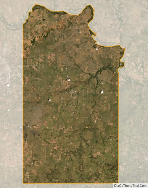
Clay County Satellite Map
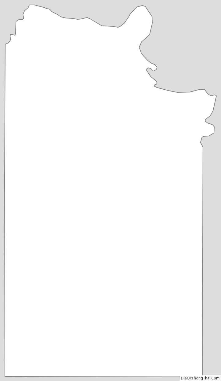
Clay County Outline Map