Anderson County is a county in the U.S. state of Texas. Located within East Texas, its county seat is Palestine. As of the 2020 United States census, the population of Anderson County was 57,922. Anderson County comprises the Palestine micropolitan statistical area. Anderson County was organized in 1846, and was named for Kenneth Lewis Anderson (1805-1845), the last vice president of the Republic of Texas.
| Name: | Anderson County |
|---|---|
| FIPS code: | 48-001 |
| State: | Texas |
| Founded: | March 24, 1846 |
| Named for: | Kenneth L. Anderson |
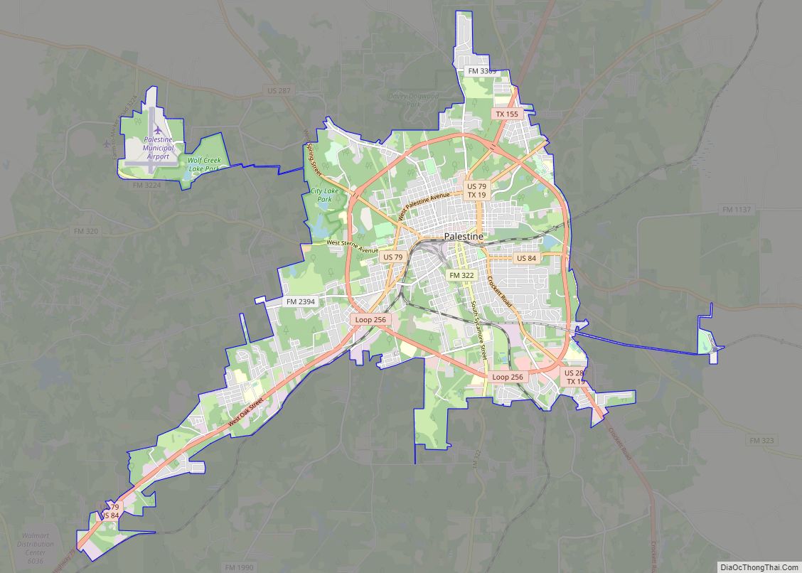
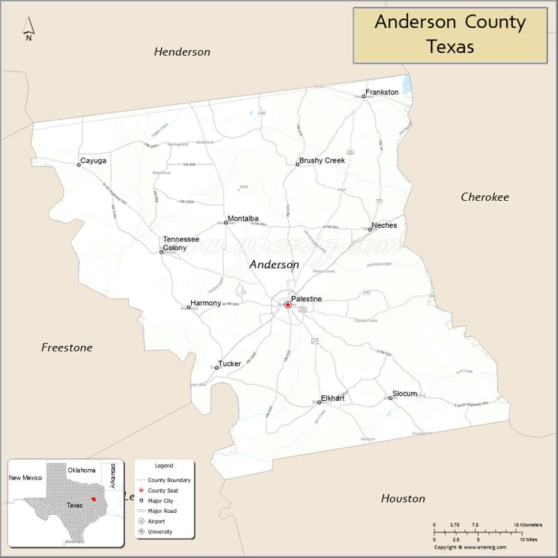
| Seat: | Palestine |
| Largest city: | Palestine |
| Total Area: | 1,078 sq mi (2,790 km²) |
| Land Area: | 1,063 sq mi (2,750 km²) |
| Total Population: | 57,922 |
| Population Density: | 54/sq mi (21/km²) |
| Time zone: | UTC−6 (Central) |
| Summer Time Zone (DST): | UTC−5 (CDT) |
| Website: | www.co.anderson.tx.us |
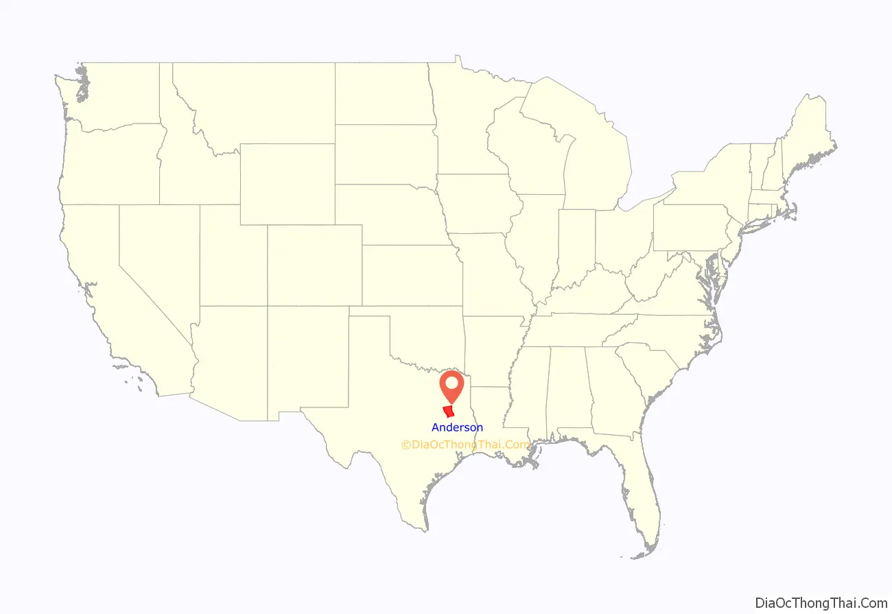
Anderson County location map. Where is Anderson County?
History
Native Americans
Native Americans friendly to the settlers resided in East Texas before the Kiowa, Kickapoo, Kichai, Apache, and Comanche relocated to the territory. These tribes hunted, farmed the land, and were adept traders. By 1772, they had settled on the Brazos at Waco and on the Trinity upstream from present Palestine. The Tawakoni branch of Wichita Indians originated north of Texas, but migrated south into East Texas. From 1843 onward, the Tawakoni were part of treaties made by both the Republic of Texas and the United States.
On May 19, 1836, an alliance of Comanche, Kiowa, Caddo, and Wichita attacked Fort Parker (Limestone County), killing and taking settlers captive. The survivors escaped to Fort Houston, which had been erected in Anderson County in 1835 as protection against Indians. Some early residents of Anderson County were related to Cynthia Ann Parker, who was among the captives.
In October 1838, Gen. Thomas Jefferson Rusk conducted a raid against hostile Indians at Kickapoo, near Frankston. This ended the engagements with the Indians in East Texas for that year.
Anglo settlement
In 1826, empresario David G. Burnet received a grant from the Coahuila y Tejas legislature to settle 300 families in what is now Anderson County. Most of the settlers came from the southern states and Missouri.
Baptist leader Daniel Parker and eight other men organized the Pilgrim Predestinarian Regular Baptist Church in Lamotte, Illinois in 1833. This entire group migrated to the Texas frontier, arriving in Austins Colony in November 1833, and establishing Fort Parker (Limestone County) in 1834. In October 1834, in consequence of “their members were becoming scattered in a wilderness,” the Church agreed to adjourn until the majority of their members settled.
After the Texas Revolution and the attack on Fort Parker, Daniel Parker and some of the survivors moved to Fort Houston (Anderson County). They established a new community south of the fort.
Incorporation
The First Legislature of the State of Texas formed Anderson County from Houston County on March 24, 1846. The county was named for Kenneth Lewis Anderson. Palestine was named the county seat.
Anderson County voted for secession from the Union. When the American Civil War began, former Palestine district judge Judge John H. Reagan served in the cabinet of the Confederate government as postmaster general, being captured at the end of the war and spending 22 months in solitary confinement. During Reconstruction, District Nine Court Judge Reuben A. Reeves, a resident of Palestine, was removed from office as “an obstruction to Reconstruction” in part because of his refusal to allow blacks to participate as jurors in the judicial process.
In 1875, the International – Great Northern Railroad placed its machine and repair shops and general offices in Palestine, causing the community to double in size over the next 5 years. For a time, it was a rough railroad town, dominated by male workers.
White violence against blacks occurred in the county, most frequently by lynchings of black men. But in July 1910, at least 22 blacks were killed in white rioting near Slocum, a majority-black community, in what is called the Slocum Massacre. Racial and economic tensions had been high in the post-Reconstruction era and southern states had disenfranchised blacks and imposed Jim Crow in furtherance of white supremacy. Anderson County tied for 13th place in a list of the 25 American counties with the highest number of lynchings between 1877 and 1950 (all were located in the South).
Oral tradition in the African-American community holds that as many as 200 blacks may have been killed in the massacre. An estimated 200 whites rioted and attacked blacks on the roads, in the fields, and in Slocum on July 29–30, 1910. Many black homes were burned, and black families fled for their lives, having to abandon their property and assets. This town is about 20 miles east of the county seat at Palestine.
At the time, as was usual, white newspapers described such events as a “race riot” by blacks. Texas newspapers had contributed to problems by reporting false rumors that 200 blacks were arming. Afterward, 11 men were arrested and seven were indicted, including James Spurger, said by many to be the instigator, but no prosecution resulted. The massacre had been preceded by racial tensions, rumors, and, for 6 months, at least one lynching per month of Blacks in East Texas.
In January 2016, the state installed a highway historical marker in Slocum to recognize this unprovoked white attack on the black community. It was part of a history of white violence against blacks.
In 1926, the Humble Oil and Refining Company, in partnership with the Rio Bravo Company, started an exploration drilling program along Boggy Creek, in what turned our to be the Boggy Creek salt dome. On 19 March 1927, the Elliott and Clark No. 1 encountered the Woodbine Formation at a depth of 3,838 feet (1,170 m) and produced 62 barrels of oil per hour, but showed salt water after producing only 15,000 barrels. On 10 November 1927, the Elliott and Clark No. 2, 150 feet to the west, was completed as a gas well. On 4 February 1928, the first oil-producing well in Anderson County, the Humble-Lizzie Smith No. 1, was completed, producing 80 BOPD. By May 1931, 80 wells had been drilled in the Boggy Creek Oil Field, 6 of which produced gas, 33 oil, and 41 were dry holes.
The Fairway Oil Field was discovered in 1960, and straddles the border of Anderson and Henderson Counties. Oil is produced from the Lower Cretaceous James Limestone member of the Pearsall formation.
The Gus Engeling Wildlife Management Area was purchased by the state between 1950 and 1960, much of it formerly owned by Milze L. Derden. The area was renamed in 1952 for Gus A. Engeling, the first state biologist assigned to the area who was killed by a poacher on December 13, 1951.
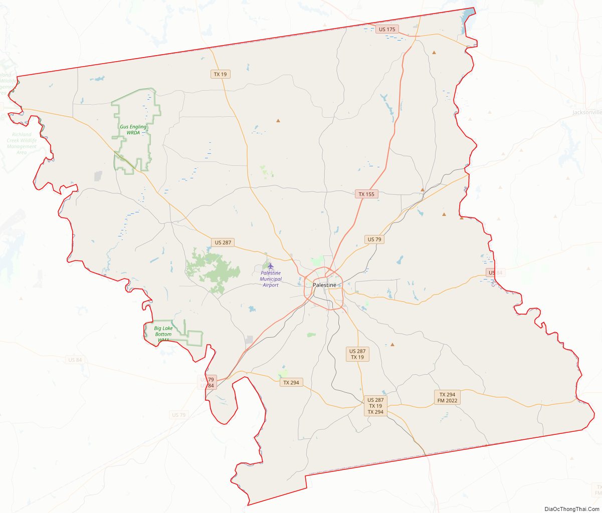
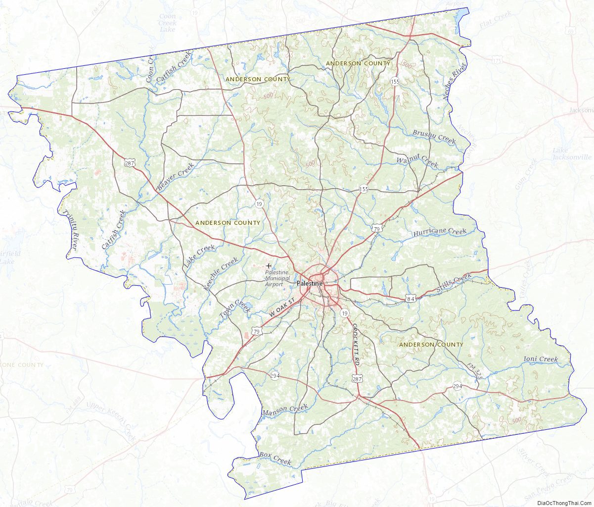
Anderson County Road Map
Geography
Anderson County is situated at the threshold of two ecoregions, the piney woods to the east, and the East Central Texas forests, also referred to as post oak savanna to the west. The terrain of Anderson County consists of hills carved by drainages and gullies, with numerous lakes and ponds. The Trinity River flows southward along the west boundary line of the county; the Neches River flows southward along its east boundary line, and Brushy Creek flows southeastward through the central portion of the county. The terrain slopes to the south and east, with its highest points along the midpoint of its northern boundary line at 551′ (168m) ASL. The county has a total area of 1,078 square miles (2,790 km), of which 1,063 square miles (2,750 km) are land and 15 square miles (39 km) (1.4%) are covered by water.
The county is wholly located within area codes 430 and 903.
Major highways
- U.S. Highway 79
- U.S. Highway 84
- U.S. Highway 175
- U.S. Highway 287
- State Highway 19
- State Highway 155
- State Highway 294
Adjacent counties
- Henderson County (north)
- Cherokee County (east)
- Houston County (south)
- Leon County (southwest)
- Freestone County (west)
Protected areas
- Big Lake Bottom Wildlife Management Area (part)
- Gus Engeling Wildlife Management Area
- Neches River National Wildlife Refuge (part)
- Richland Creek Wildlife Management Area (part)
Lakes
- Big Twin Lake
- Cox Lake
- Crystal Lake
- Hudson Lake
- Lake Dogwood
- Lake Frankston
- Lost Prairie Lake
- Pineywoods Lake
- Spring Lake
- Williams Lake
Anderson County Topographic Map
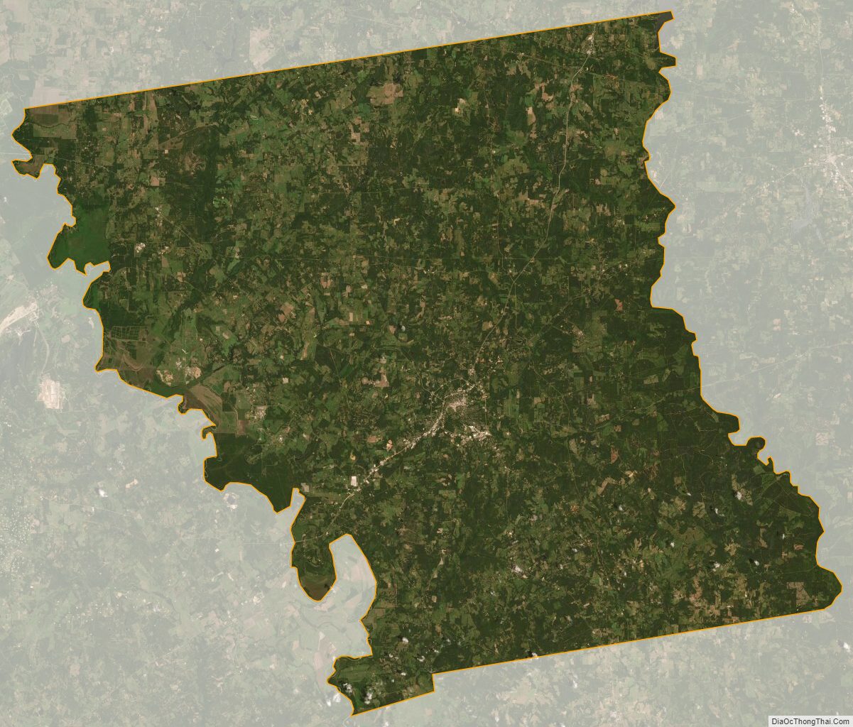
Anderson County Satellite Map
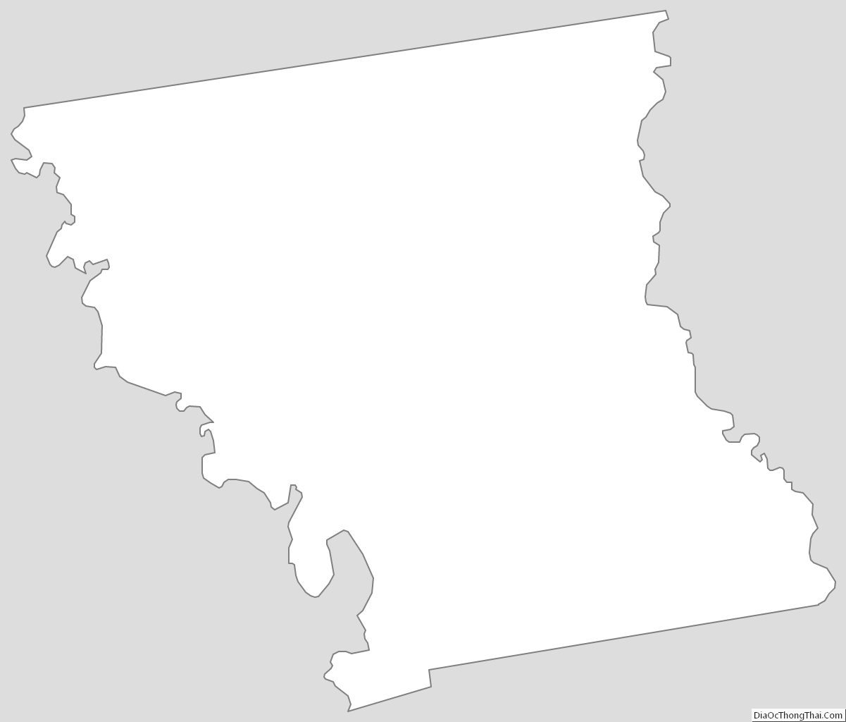
Anderson County Outline Map