| Name: | Archer County |
|---|---|
| FIPS code: | 48-009 |
| State: | Texas |
| Founded: | 1880 |
| Named for: | Branch Tanner Archer |
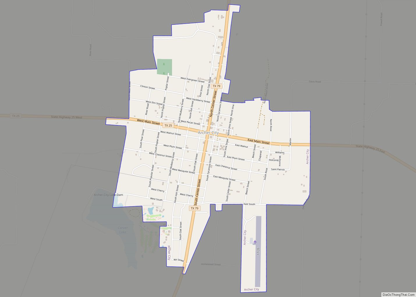
| Seat: | Archer City |
| Largest city: | Archer City |
| Total Area: | 925 sq mi (2,400 km²) |
| Land Area: | 903 sq mi (2,340 km²) |
| Total Population: | 8,560 |
| Population Density: | 9.3/sq mi (3.6/km²) |
| Time zone: | UTC−6 (Central) |
| Summer Time Zone (DST): | UTC−5 (CDT) |
| Website: | www.co.archer.tx.us |
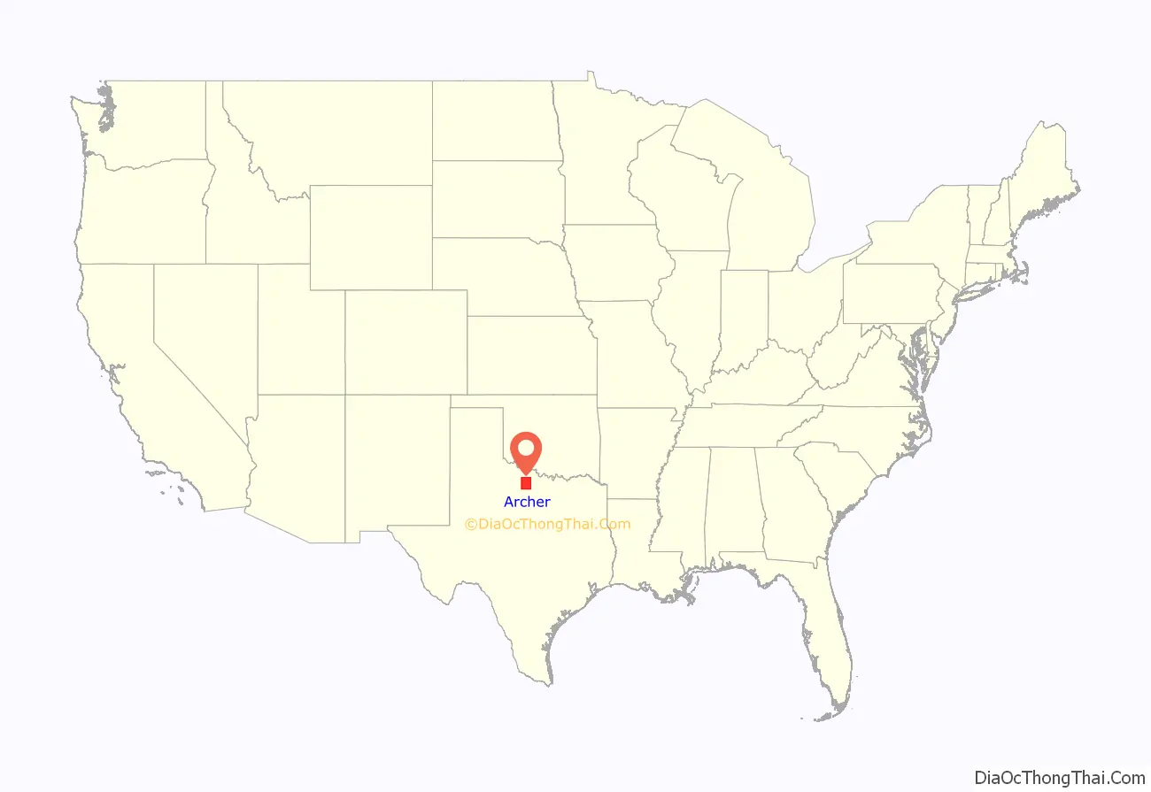
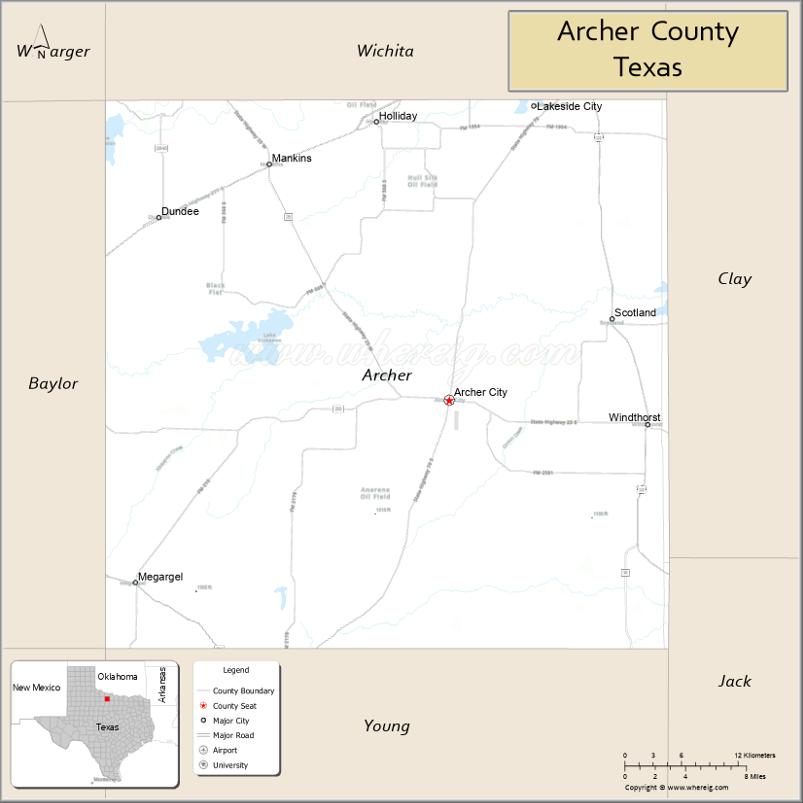
Archer County location map. Where is Archer County?
History
In 1858, the Texas Legislature established Archer County from portions of Fannin County, Texas, and it organized in 1880. It is named for Branch Tanner Archer, a commissioner for the Republic of Texas.
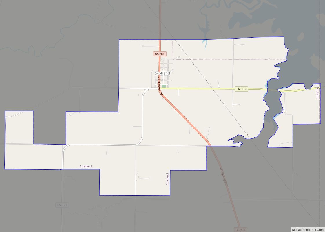
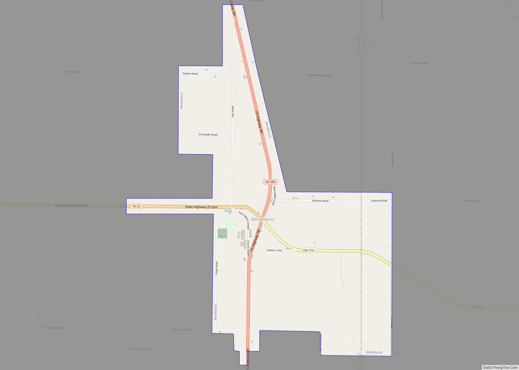
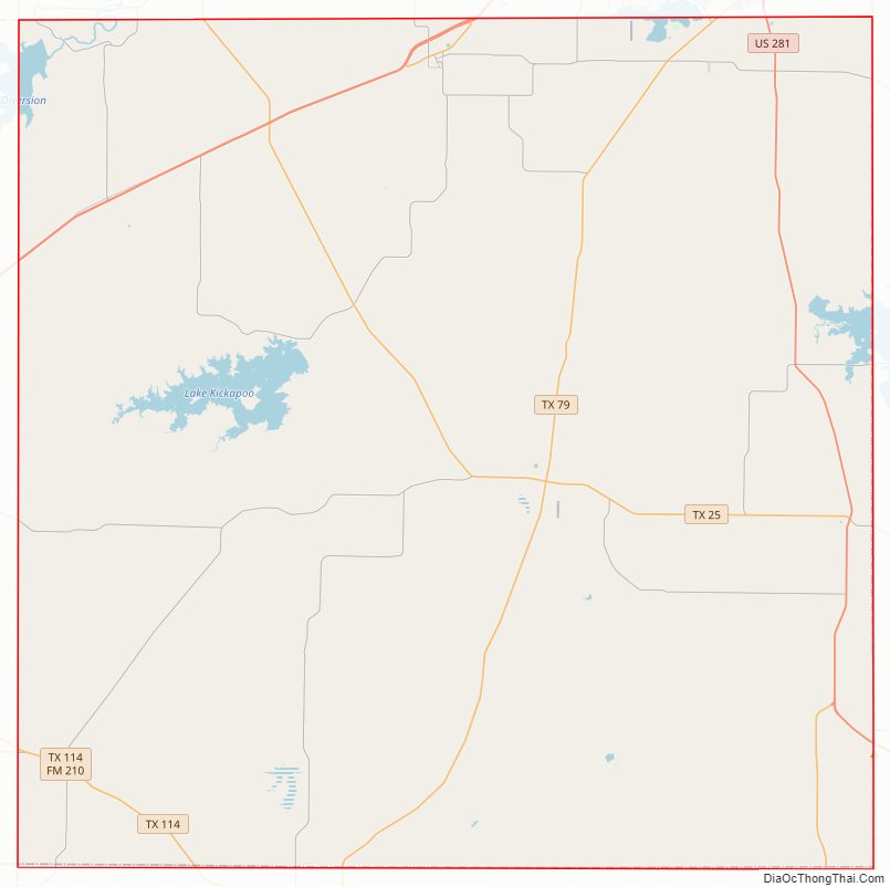
Archer County Road Map
Geography
According to the U.S. Census Bureau, the county has a total area of 925 sq mi (2,400 km), of which 903 sq mi (2,340 km) are land and 22 sq mi (57 km) (2.4%) are covered by water.
Major highways
- U.S. Highway 82
- U.S. Highway 277
- U.S. Highway 281
- State Highway 25
- State Highway 79
- State Highway 114
Adjacent counties
- Wichita County (north)
- Clay County (east)
- Jack County (southeast)
- Young County (south)
- Baylor County (west)
- Wilbarger County (northwest)
Archer County Topographic Map

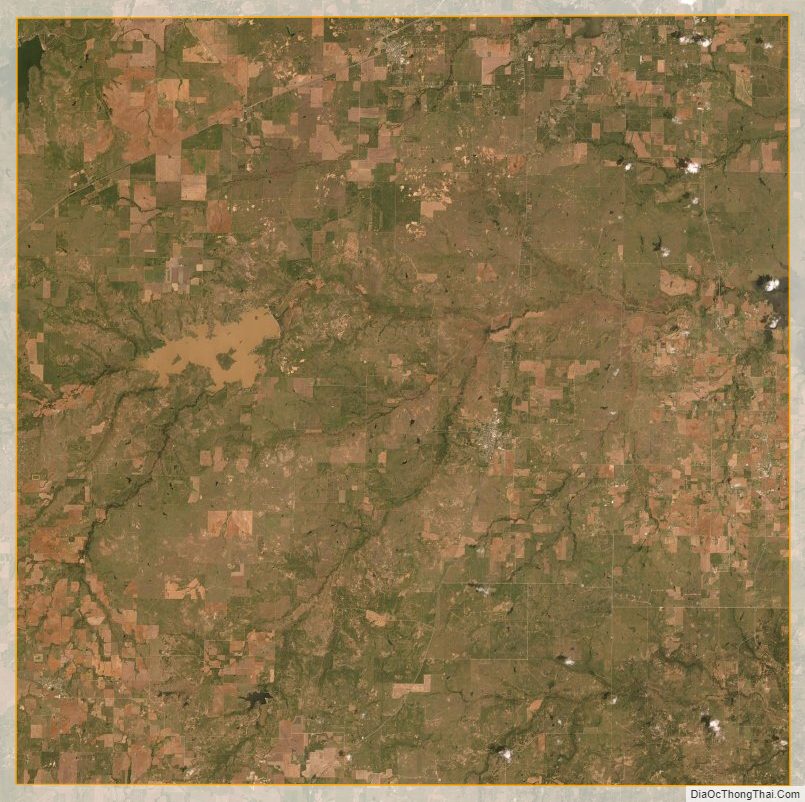
Archer County Satellite Map
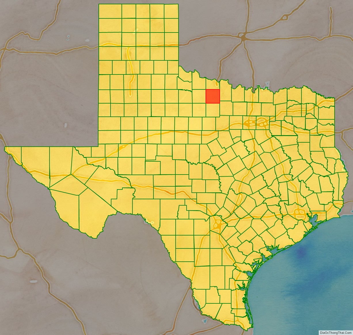
Archer County Outline Map