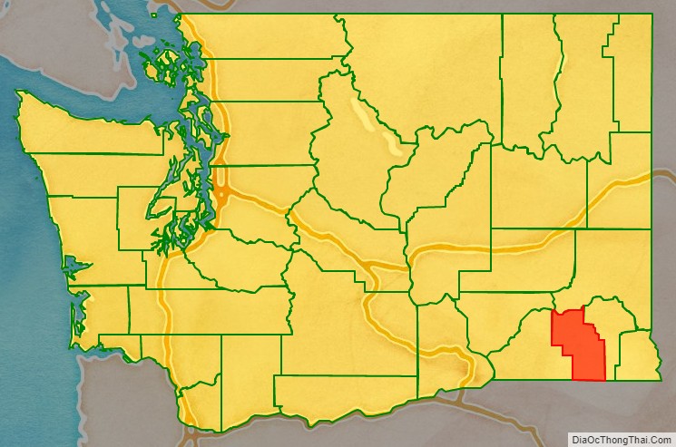
Columbia County is a county located in the U.S. state of Washington. As of the 2020 census, the population was 3,952, making it the second-least populous county in Washington. The county seat and largest city is Dayton. The county was created out of Walla Walla County on November 11, 1875, and is named after the Columbia River (which does not flow through the county). Columbia County is included in the Walla Walla, WA Metropolitan Statistical Area.
| Name: | Columbia County |
|---|---|
| FIPS code: | 53-013 |
| State: | Washington |
| Founded: | November 11, 1875 |
| Named for: | Columbia River |
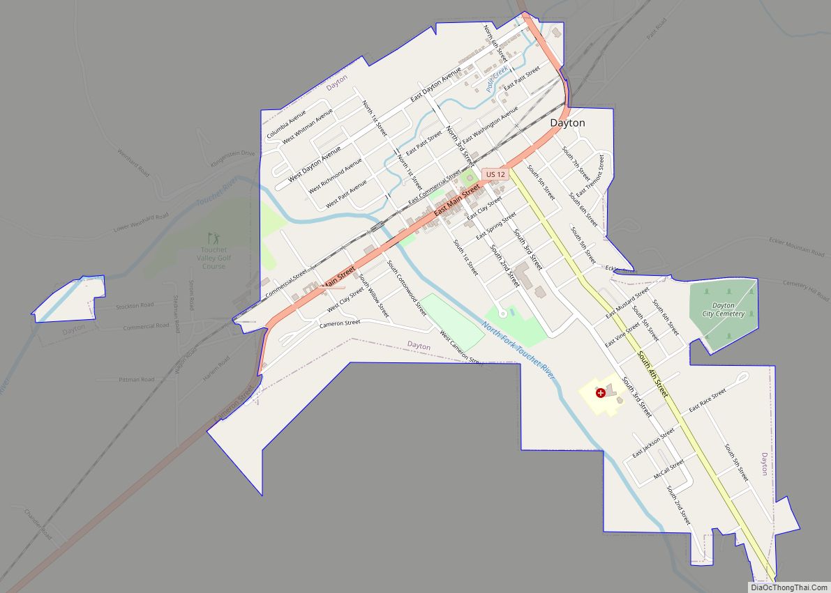
| Seat: | Dayton |
| Largest city: | Dayton |
| Total Area: | 873 sq mi (2,260 km²) |
| Land Area: | 869 sq mi (2,250 km²) |
| Total Population: | 3,952 |
| Population Density: | 4.6/sq mi (1.8/km²) |
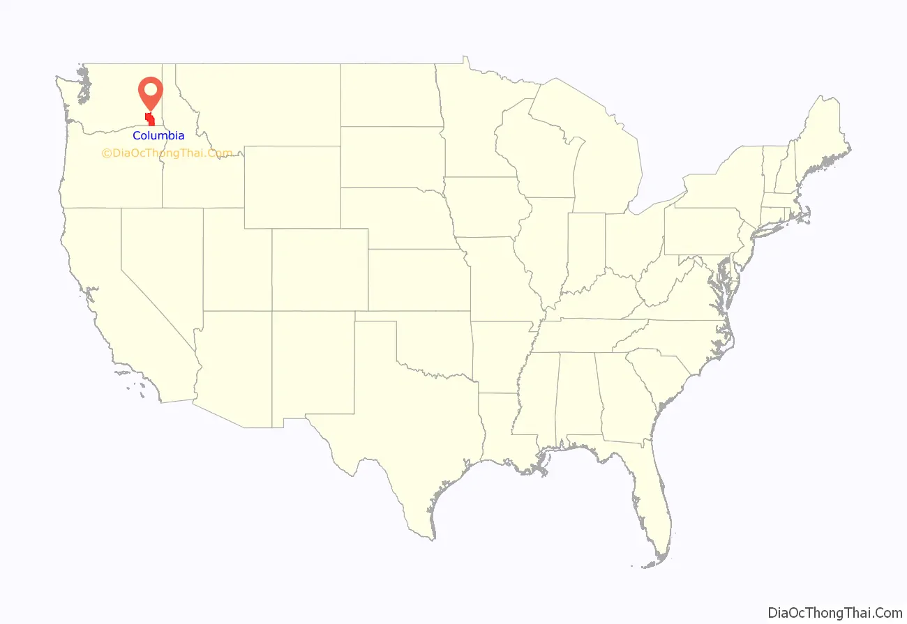
Columbia County location map. Where is Columbia County?
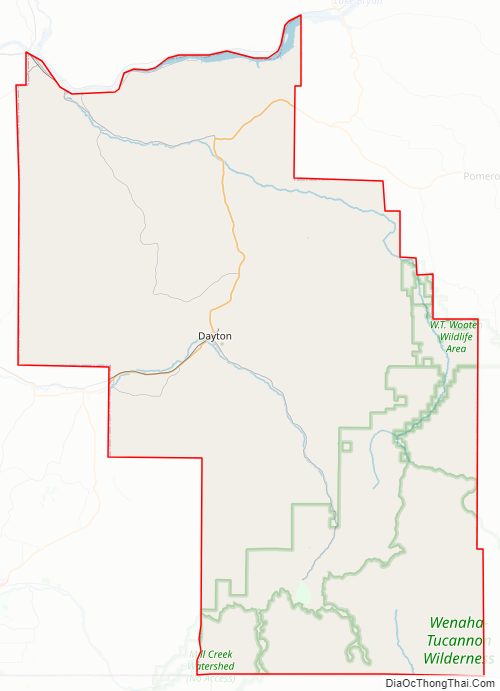
Columbia County Road Map
Geography
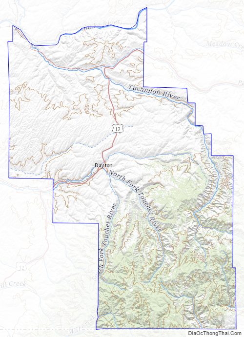
According to the United States Census Bureau, the county has a total area of 873 square miles (2,260 km), of which 869 square miles (2,250 km) is land and 4.9 square miles (13 km) (0.6%) is water. It is part of the Palouse, a wide and rolling prairie-like region of the middle Columbia basin.
Geographic features
- Snake River
- Blue Mountains
- Touchet River
- Tucannon River
Major highways
- U.S. Route 12
Adjacent counties
- Whitman County – north
- Garfield County – east
- Wallowa County, Oregon – southeast
- Umatilla County, Oregon – southwest
- Walla Walla County – west
- Franklin County – northwest
National protected area
- Umatilla National Forest (part)
Columbia County Topographic Map
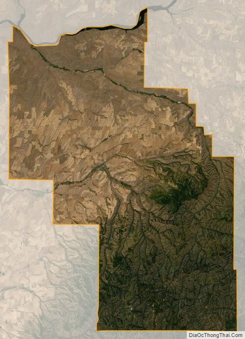
Columbia County Satellite Map
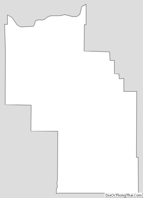
Columbia County Outline Map