Dayton is a city in and the county seat of Columbia County, Washington, United States. The population was 2,526 at the 2010 census.
| Name: | Dayton city |
|---|---|
| LSAD Code: | 25 |
| LSAD Description: | city (suffix) |
| State: | Washington |
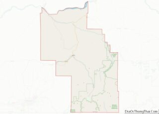
| County: | Columbia County |
| Elevation: | 1,660 ft (506 m) |
| Total Area: | 1.44 sq mi (3.73 km²) |
| Land Area: | 1.44 sq mi (3.73 km²) |
| Water Area: | 0.00 sq mi (0.00 km²) |
| Total Population: | 2,526 |
| Population Density: | 1,694.66/sq mi (654.48/km²) |
| ZIP code: | 99328 |
| Area code: | 509 |
| FIPS code: | 5316970 |
| GNISfeature ID: | 1504356 |
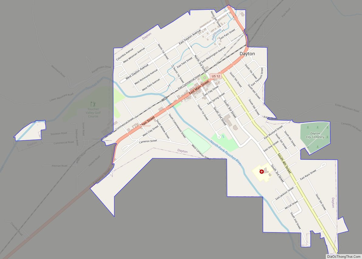
Online Interactive Map
Click on ![]() to view map in "full screen" mode.
to view map in "full screen" mode.
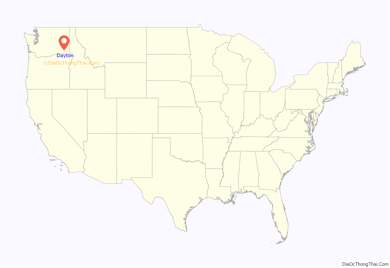
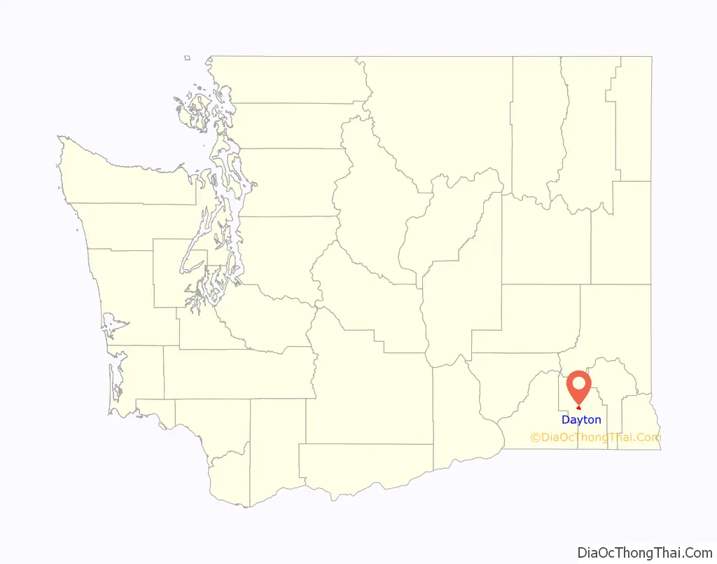
Dayton location map. Where is Dayton city?
History
Dayton was founded in the 1860s. A town site plat was filed by Jesse N. and Elizabeth Day on November 23, 1871. The city was officially incorporated on November 10, 1881, and was named for Jesse Day. Dayton has the oldest train depot in Washington state, dating from 1881, and the oldest continuously used courthouse, operating since 1887. The historic community of Baileysburg was situated about one mile southeast of Dayton, at the junction of North Touchet and South Touchet Roads.
In the 1980s and 1990s, the town underwent a $3 million restoration program, repairing the historic depot and historic courthouse, adding pedestrian amenities to Main Street, and creating a National Historic District.
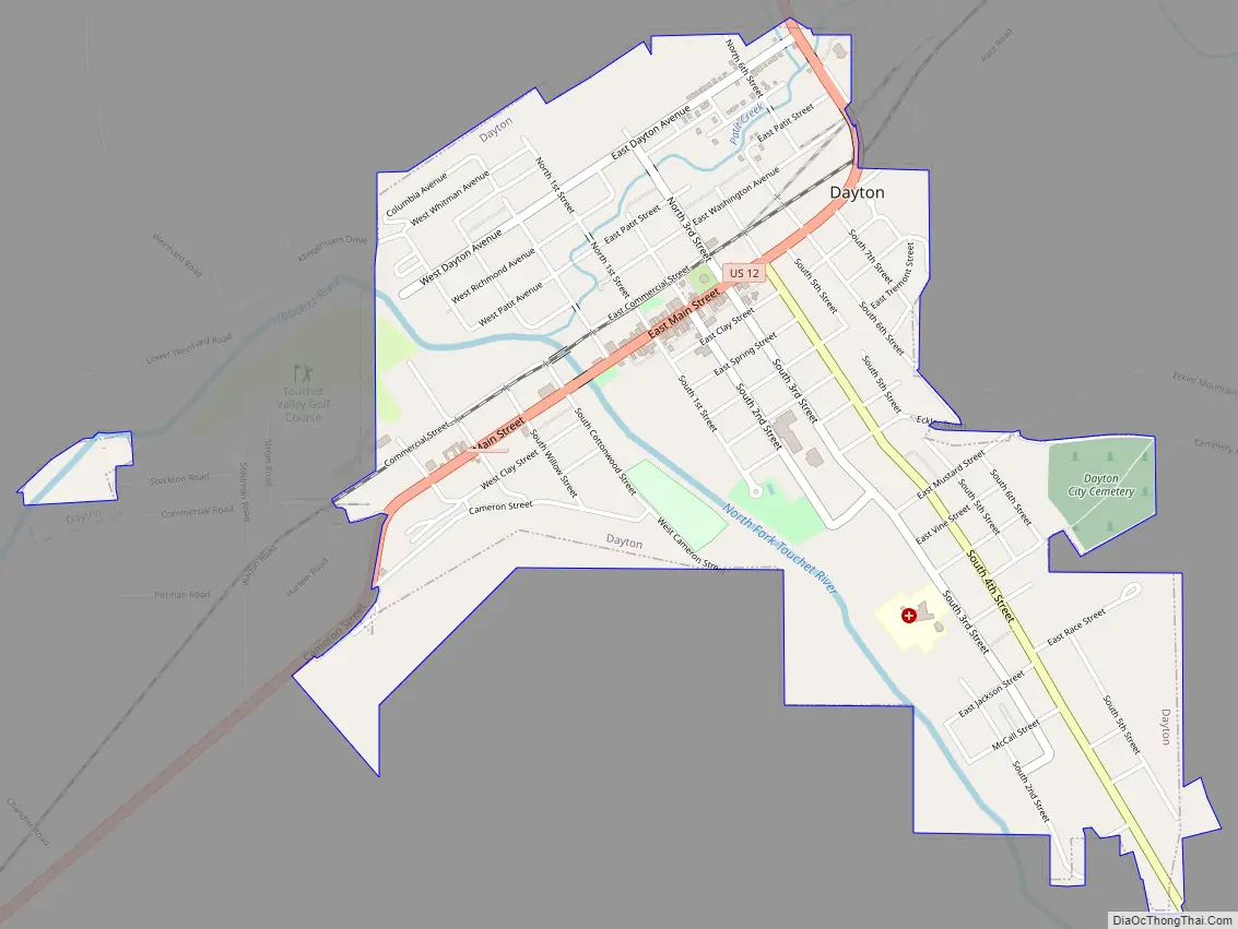
Dayton Road Map
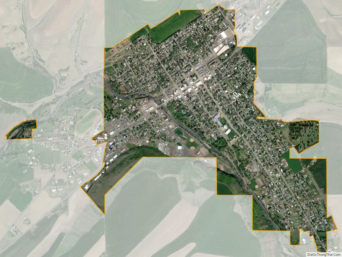
Dayton city Satellite Map
Geography
Dayton is located at 46°19′11″N 117°58′40″W / 46.31972°N 117.97778°W / 46.31972; -117.97778 (46.319608, -117.977699).
According to the United States Census Bureau, the city has a total area of 1.43 square miles (3.70 km), all of it land. The Touchet River runs through Dayton.
Dayton has a Mediterranean climate (Köppen Csb) with hot summers (though nights are pleasantly cool) and chilly, though not severe, winters with only very moderate snowfall. Dayton’s winter climate is somewhat milder than most of eastern Washington. Precipitation is moderate for most of the year except for a dry period between July and September, at which time major wildfires are very common in the region due to the hot days and very low humidity.
See also
Map of Washington State and its subdivision:- Adams
- Asotin
- Benton
- Chelan
- Clallam
- Clark
- Columbia
- Cowlitz
- Douglas
- Ferry
- Franklin
- Garfield
- Grant
- Grays Harbor
- Island
- Jefferson
- King
- Kitsap
- Kittitas
- Klickitat
- Lewis
- Lincoln
- Mason
- Okanogan
- Pacific
- Pend Oreille
- Pierce
- San Juan
- Skagit
- Skamania
- Snohomish
- Spokane
- Stevens
- Thurston
- Wahkiakum
- Walla Walla
- Whatcom
- Whitman
- Yakima
- Alabama
- Alaska
- Arizona
- Arkansas
- California
- Colorado
- Connecticut
- Delaware
- District of Columbia
- Florida
- Georgia
- Hawaii
- Idaho
- Illinois
- Indiana
- Iowa
- Kansas
- Kentucky
- Louisiana
- Maine
- Maryland
- Massachusetts
- Michigan
- Minnesota
- Mississippi
- Missouri
- Montana
- Nebraska
- Nevada
- New Hampshire
- New Jersey
- New Mexico
- New York
- North Carolina
- North Dakota
- Ohio
- Oklahoma
- Oregon
- Pennsylvania
- Rhode Island
- South Carolina
- South Dakota
- Tennessee
- Texas
- Utah
- Vermont
- Virginia
- Washington
- West Virginia
- Wisconsin
- Wyoming