| Name: | Converse County |
|---|---|
| FIPS code: | 56-009 |
| State: | Wyoming |
| Founded: | March 9, 1888 |
| Named for: | A.R. Converse |
| Seat: | Douglas |
| Largest city: | Douglas |
| Total Area: | 4,265 sq mi (11,050 km²) |
| Land Area: | 4,255 sq mi (11,020 km²) |
| Total Population: | 13,751 |
| Population Density: | 3.2/sq mi (1.2/km²) |
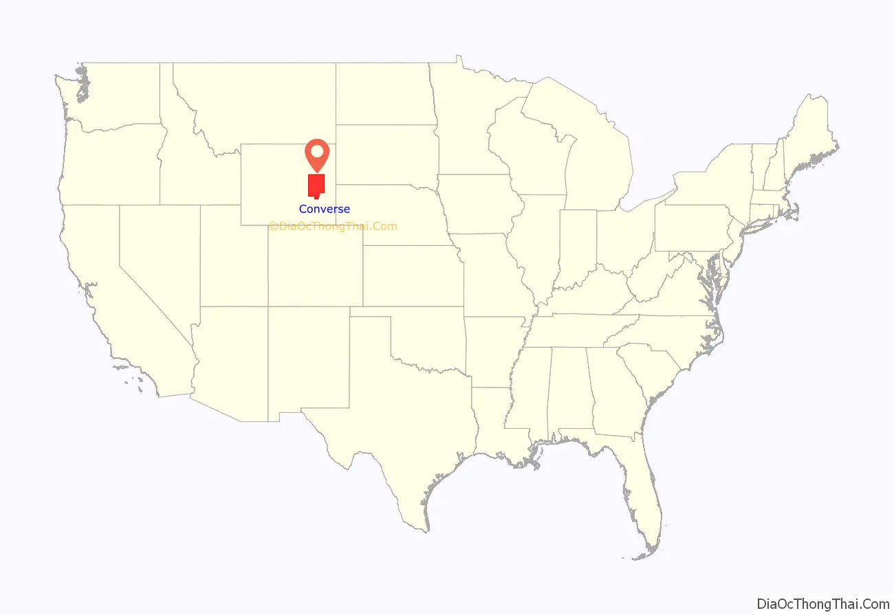
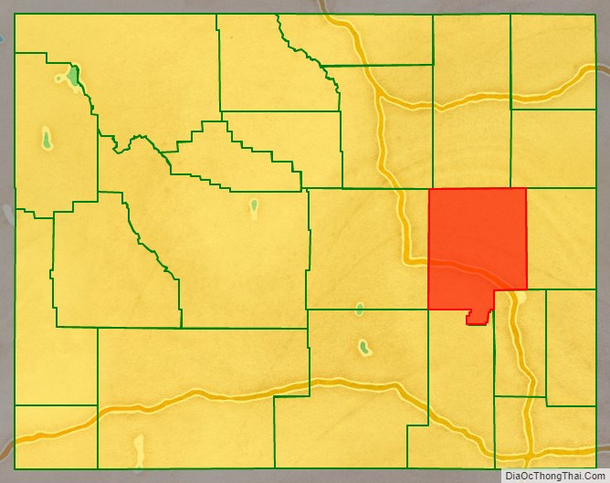
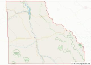
Converse County location map. Where is Converse County?
History
Converse County was created in 1888 by the legislature of the Wyoming Territory, of area annexed from Albany and Laramie counties.
Converse County was named for A.R. Converse, a banker and rancher from Cheyenne, Wyoming, who was co-owner with Francis E. Warren in a large ranch in the eastern part of Converse County.
A portion of Converse County territory was annexed for the formation of Niobrara County in 1911. Converse County was slightly enlarged with territory from Albany County in 1955 after a special election.
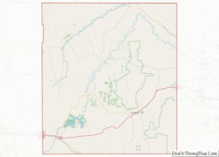
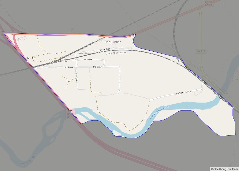
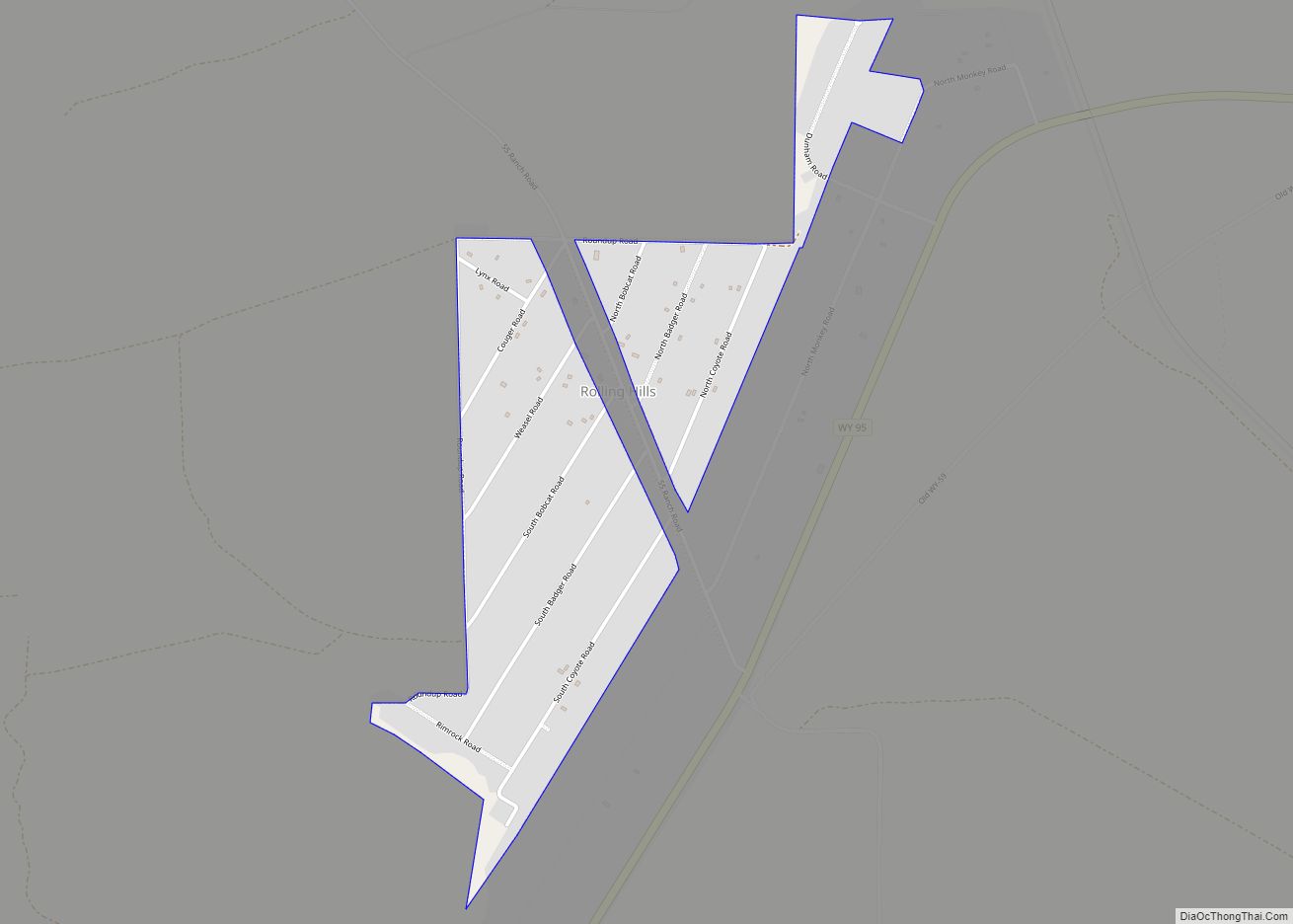
Converse County Road Map
Geography
According to the US Census Bureau, the county has a total area of 4,265 square miles (11,050 km), of which 4,255 square miles (11,020 km) is land and 10 square miles (26 km) (0.2%) is water.
Adjacent counties
- Campbell County – north
- Weston County – northeast
- Niobrara County – east
- Platte County – southeast
- Albany County – south
- Carbon County – southwest
- Natrona County – west
- Johnson County – northwest
National protected areas
- Medicine Bow National Forest (part)
- Thunder Basin National Grassland (part)
Major highways
- Interstate 25
- U.S. Highway 18
- U.S. Highway 20
- U.S. Highway 26
- U.S. Highway 287
- Wyoming Highway 59
