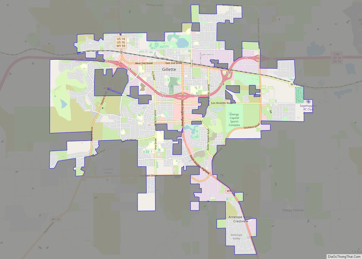
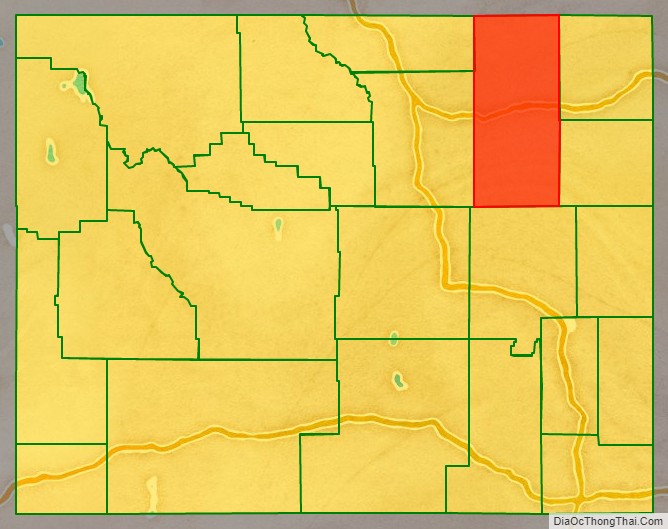
Campbell County is a county in the U.S. state of Wyoming. As of the 2020 United States Census, the population was 47,026, making it the third-most populous county in Wyoming. Its county seat is Gillette.
Campbell County comprises the Gillette, WY Micropolitan Statistical Area.
| Name: | Campbell County |
|---|---|
| FIPS code: | 56-005 |
| State: | Wyoming |
| Founded: | February 21, 1911 |
| Named for: | Robert Campbell |
| Seat: | Gillette |
| Largest city: | Gillette |
| Total Area: | 4,807 sq mi (12,450 km²) |
| Land Area: | 4,803 sq mi (12,440 km²) |
| Total Population: | 47,026 |
| Population Density: | 9.8/sq mi (3.8/km²) |
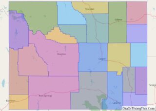
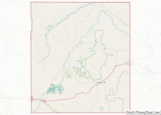
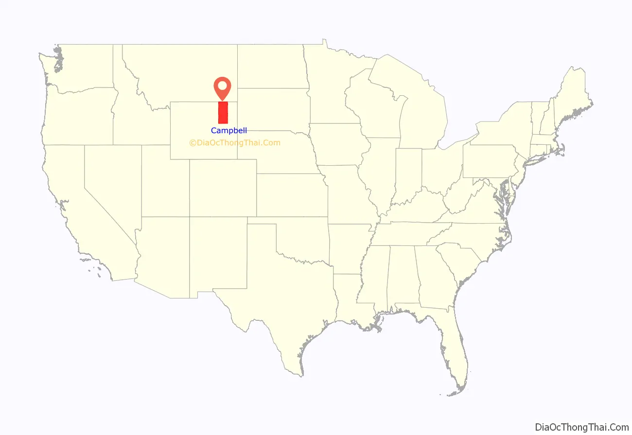
Campbell County location map. Where is Campbell County?
History
Campbell County was created in 1911 from land annexed from Crook and Weston Counties. It was named either for John Allen Campbell, a governor of the Wyoming Territory, or for Robert Campbell, a trapper and fur trader associated with William Henry Ashley.
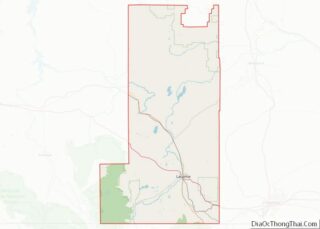
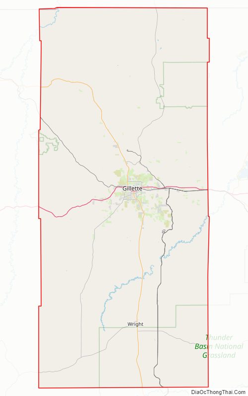
Campbell County Road Map
Geography
According to the U.S. Census Bureau, the county has a total area of 4,807 square miles (12,450 km), of which 4,803 square miles (12,440 km) is land and 4.0 square miles (10 km) (9.6%) is water.
Adjacent counties
- Powder River County, Montana – north
- Crook County – northeast
- Weston County – southeast
- Converse County – south
- Johnson County – southwest
- Sheridan County – west
Major highways
- Interstate 90
- I-90 BL
- U.S. Highway 14
- U.S. Highway 16
- Wyoming Highway 50
- Wyoming Highway 51
- Wyoming Highway 59
- Wyoming Highway 387
- Wyoming Highway 450
National protected area
- Thunder Basin National Grassland (part)
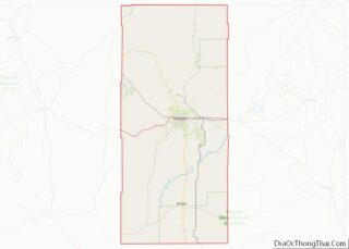
Campbell County Topographic Map
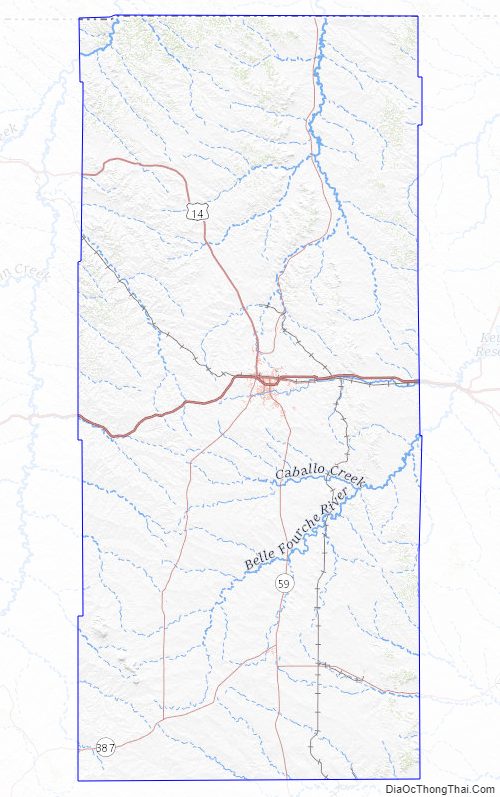
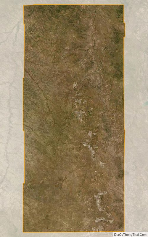
Campbell County Satellite Map
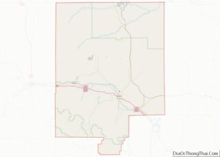
Campbell County Outline Map