Dixie County is a county located in the Big Bend region of the northern part of the U.S. state of Florida. As of the 2020 census, the population was 16,759. Its county seat is Cross City.
| Name: | Dixie County |
|---|---|
| FIPS code: | 12-029 |
| State: | Florida |
| Founded: | April 25, 1921 |
| Named for: | Dixieland |
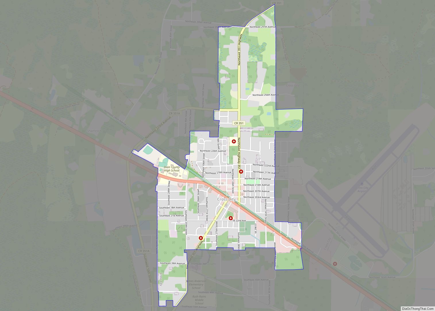
| Seat: | Cross City |
| Largest town: | Cross City |
| Total Area: | 864 sq mi (2,240 km²) |
| Land Area: | 705 sq mi (1,830 km²) |
| Total Population: | 16,759 |
| Population Density: | 24/sq mi (9/km²) |
| Time zone: | UTC−5 (Eastern) |
| Summer Time Zone (DST): | UTC−4 (EDT) |
| Website: | dixie.fl.gov |
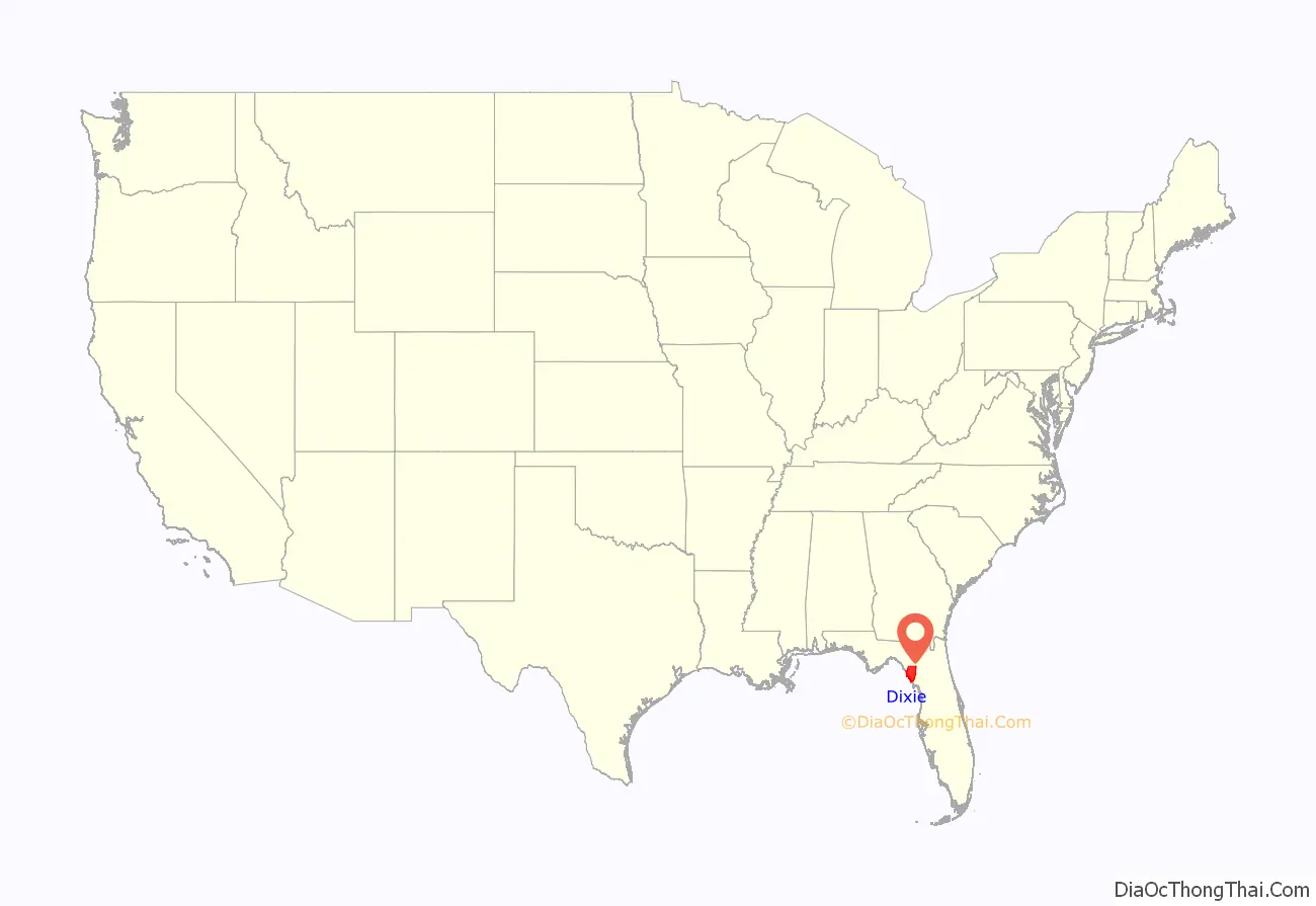
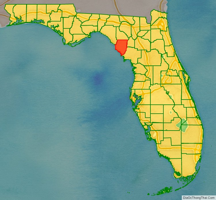
Dixie County location map. Where is Dixie County?
History
Dixie County was created in 1921 from the southern portion of Lafayette County and named for “Dixie”, the common nickname for the southern United States.
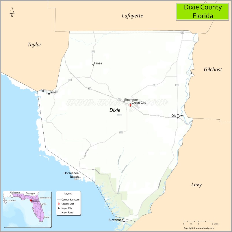
Dixie County Road Map
Geography
According to the U.S. Census Bureau, the county has a total area of 864 square miles (2,240 km), of which 705 square miles (1,830 km) is land and 159 square miles (410 km) (18.4%) is water.
Adjacent counties
- Taylor County – northwest
- Lafayette County – north
- Gilchrist County – east
- Levy County – southeast
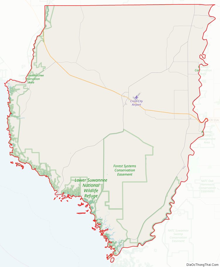
National protected area
- Lower Suwannee National Wildlife Refuge (part)
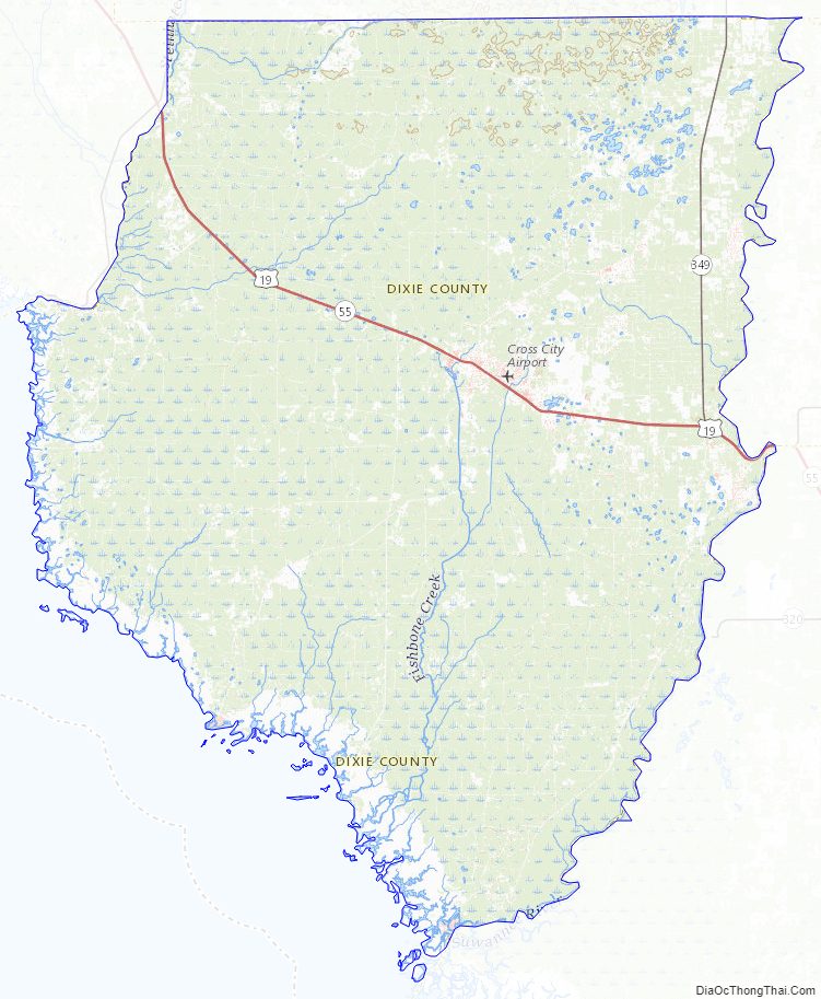
Dixie County Topographic Map
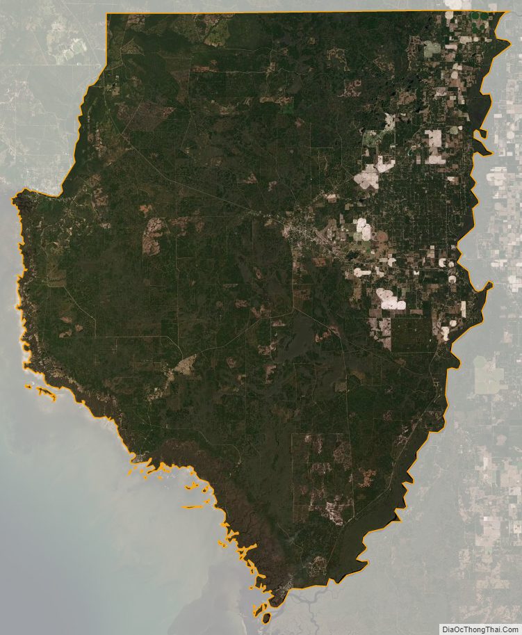
Dixie County Satellite Map
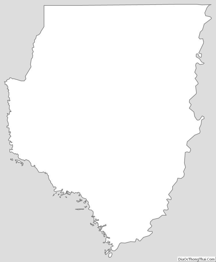
Dixie County Outline Map