Franklin County is a county located in the U.S. state of Washington. As of the 2020 census, its population was 96,749. The county seat and largest city is Pasco. The county was formed out of Whitman County on November 28, 1883, and is named for Benjamin Franklin.
Franklin County is included in the Tri-Cities metropolitan area. Together, Kennewick, Richland and Pasco comprise Washington’s Tri-Cities.
| Name: | Franklin County |
|---|---|
| FIPS code: | 53-021 |
| State: | Washington |
| Founded: | November 28, 1883 |
| Named for: | Benjamin Franklin |
| Seat: | Pasco |
| Largest city: | Pasco |
| Total Area: | 1,265 sq mi (3,280 km²) |
| Land Area: | 1,242 sq mi (3,220 km²) |
| Total Population: | 96,749 |
| Population Density: | 71/sq mi (27/km²) |
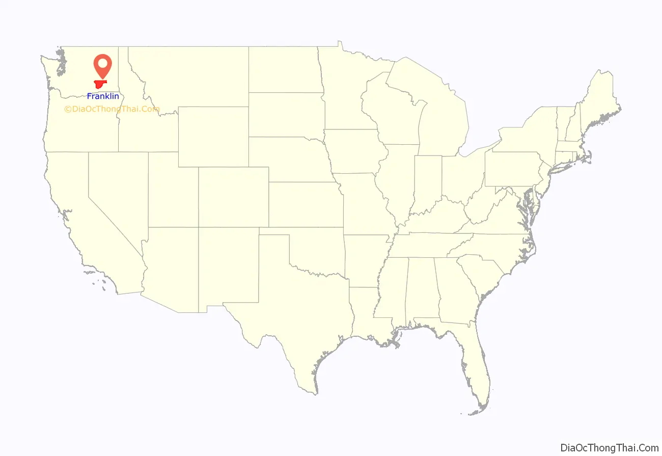
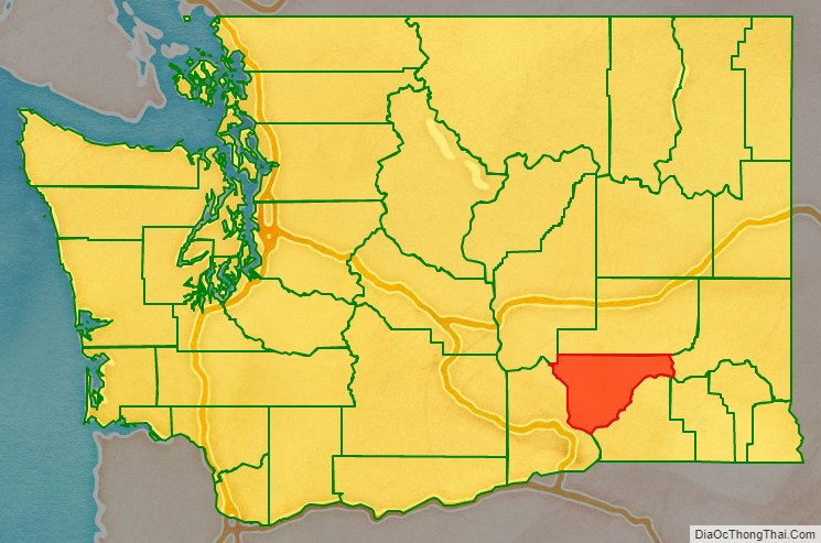
Franklin County location map. Where is Franklin County?
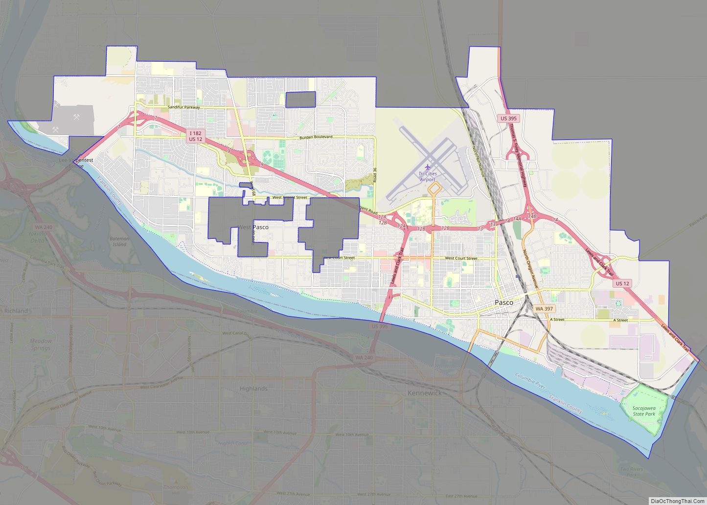
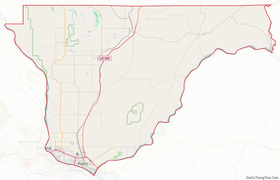
Franklin County Road Map
Geography
According to the United States Census Bureau, the county has a total area of 1,265 square miles (3,280 km), of which 1,242 square miles (3,220 km) is land and 23 square miles (60 km) (1.8%) is water.
Geographic features
- Columbia River
- Hanford Nuclear Reservation
- Juniper Dunes Wilderness
- Snake River
Major highways
- SR 260
- Interstate 182
- U.S. 12
- U.S. 395
Adjacent counties
- Adams County – north
- Whitman County – east
- Walla Walla County – southeast
- Columbia County – southeast
- Benton County – southwest
- Grant County – northwest
National protected areas
- Hanford Reach National Monument (part)
- Saddle Mountain National Wildlife Refuge (part)
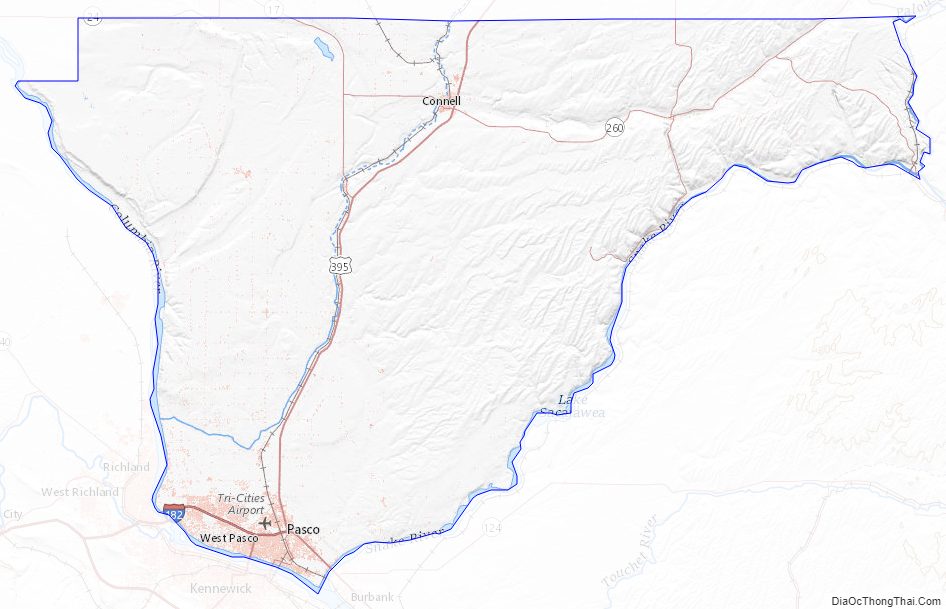
Franklin County Topographic Map
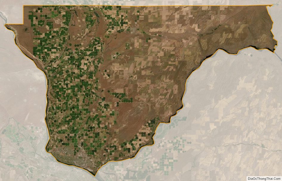
Franklin County Satellite Map
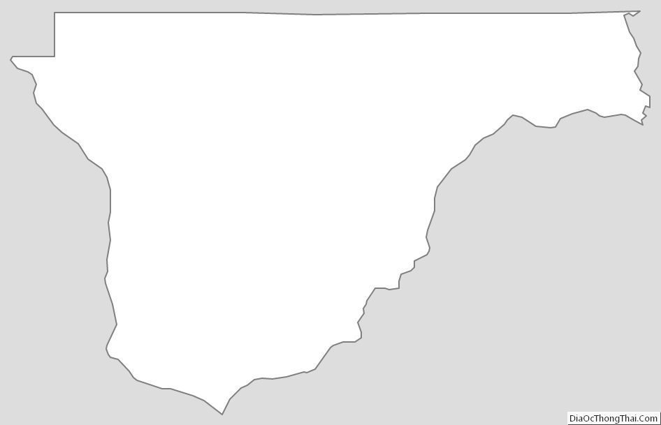
Franklin County Outline Map