Pasco (/ˈpæskoʊ/ PAS-koh) is a city in, and the county seat of, Franklin County, Washington, United States. It had a population of 59,781 at the 2010 census, and 75,432 as of the July 1, 2019 Census Bureau estimate.
Pasco is one of three cities (the others being Kennewick and Richland) that make up Washington state’s Tri-Cities region, a mid-sized metropolitan area of approximately 296,224 people.
| Name: | Pasco city |
|---|---|
| LSAD Code: | 25 |
| LSAD Description: | city (suffix) |
| State: | Washington |
| County: | Franklin County |
| Elevation: | 387 ft (118 m) |
| Land Area: | 33.96 sq mi (87.95 km²) |
| Water Area: | 3.54 sq mi (9.18 km²) |
| Population Density: | 2,221.33/sq mi (857.67/km²) |
| ZIP code: | 99301-99302 |
| Area code: | 509 |
| FIPS code: | 5353545 |
| GNISfeature ID: | 1513388 |
| Website: | Pasco-WA.gov |
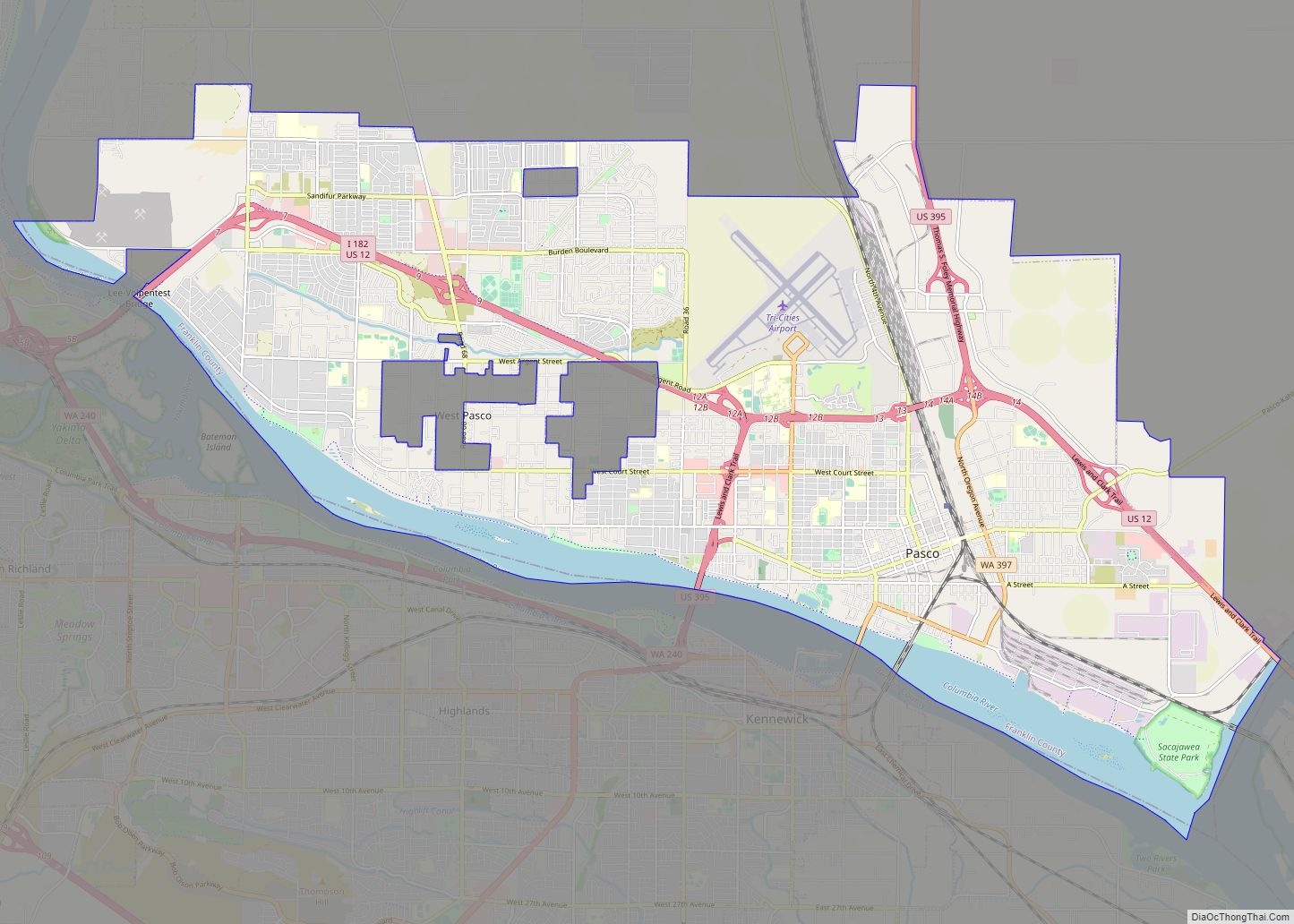
Online Interactive Map
Click on ![]() to view map in "full screen" mode.
to view map in "full screen" mode.
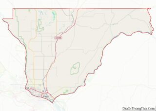
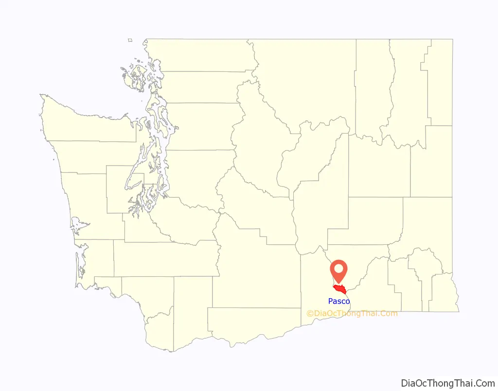
Pasco location map. Where is Pasco city?

History
On October 16, 1805, the Lewis and Clark Expedition camped in the Pasco area, at a site now commemorated by Sacajawea State Park. The area was frequented by fur trappers and gold traders. In the 1880s, the Northern Pacific Railway was built near the Columbia River, bringing many settlers to the area. Pasco was officially incorporated on September 3, 1891. It was named by Virgil Bogue, a construction engineer for the Northern Pacific Railway after Cerro de Pasco, a city in the Peruvian Andes, where he had helped build a railroad. In its early years Pasco was a small railroad town, but the completion of the Grand Coulee Dam in 1941 brought irrigation and agriculture to the area.
Due largely to the presence of the Hanford Site (which made the plutonium for the “Fat Man” nuclear bomb used on Nagasaki in 1945), the entire Tri-Cities area grew rapidly from the 1940s through 1950s. However, most of the population influx resided in Richland and Kennewick, as Pasco remained primarily driven by the agricultural industry, and to a lesser degree the NP Pasco rail yards. After the end of World War II, the entire region went through several “boom” and “bust” periods, cycling approximately every 10 years and heavily based on available government funding for Hanford-related work. Farming continues to be the economic driver for most of the city’s industrial tax base.
Pasco was not a sundown town in the same way as Richland and Kennewick, however Jim Crow laws restricted African Americans to living only on the east side of the railroad tracks, which was largely underdeveloped without public water or garbage service. In the 1940s, Edward R. Dudley visited as an investigator from the NAACP and observed widespread discrimination from businesses and law enforcement. In a 1947 survey, black residents listed water supply and service as the most significant problem for the area, and racial discrimination as second. White residents listed over-crowded schools as the most significant problem, and the presence of blacks as second. In 1948, Hazel Scott was refused service at a Pasco restaurant and successfully sued the owners for discrimination, bringing national attention to racial segregation practices in the Tri-Cities.
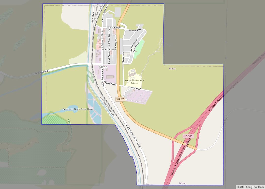
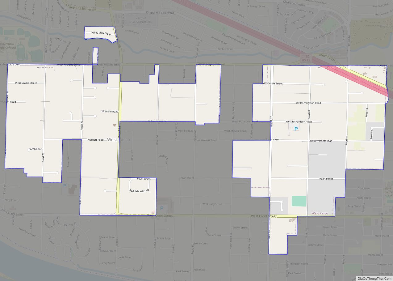
Pasco completed one of its largest annexations, comprising 7.5 square miles (19 km) to the northwest, in August 1982 amid a legal dispute with neighboring Richland that was decided by the Washington Supreme Court. In the late 1990s, foreseeing another Hanford-related boom period, several developers purchased large farm circles in Pasco for residential and commercial development. Since that time, Pasco has undergone a transformation that has not only seen its population overtake the neighboring city of Richland, but also has resulted in growth in the city’s retail and tourism industries. Recently incorporated land on the West side of the city has exploded into new housing tracts, apartments, and shopping centers. This area of the city has become referred to locally as “West Pasco”, distinguishing it from the older area of town to the East. In addition to an influx of new residents to the region, many residents of the Tri-Cities have moved from Richland and Kennewick to West Pasco due to its central location and virtually all-new housing and business. In early 2018, plans were announced for 5,000 to 8,000 new residences in West Pasco, west of Road 100.
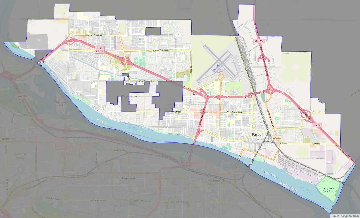
Pasco Road Map
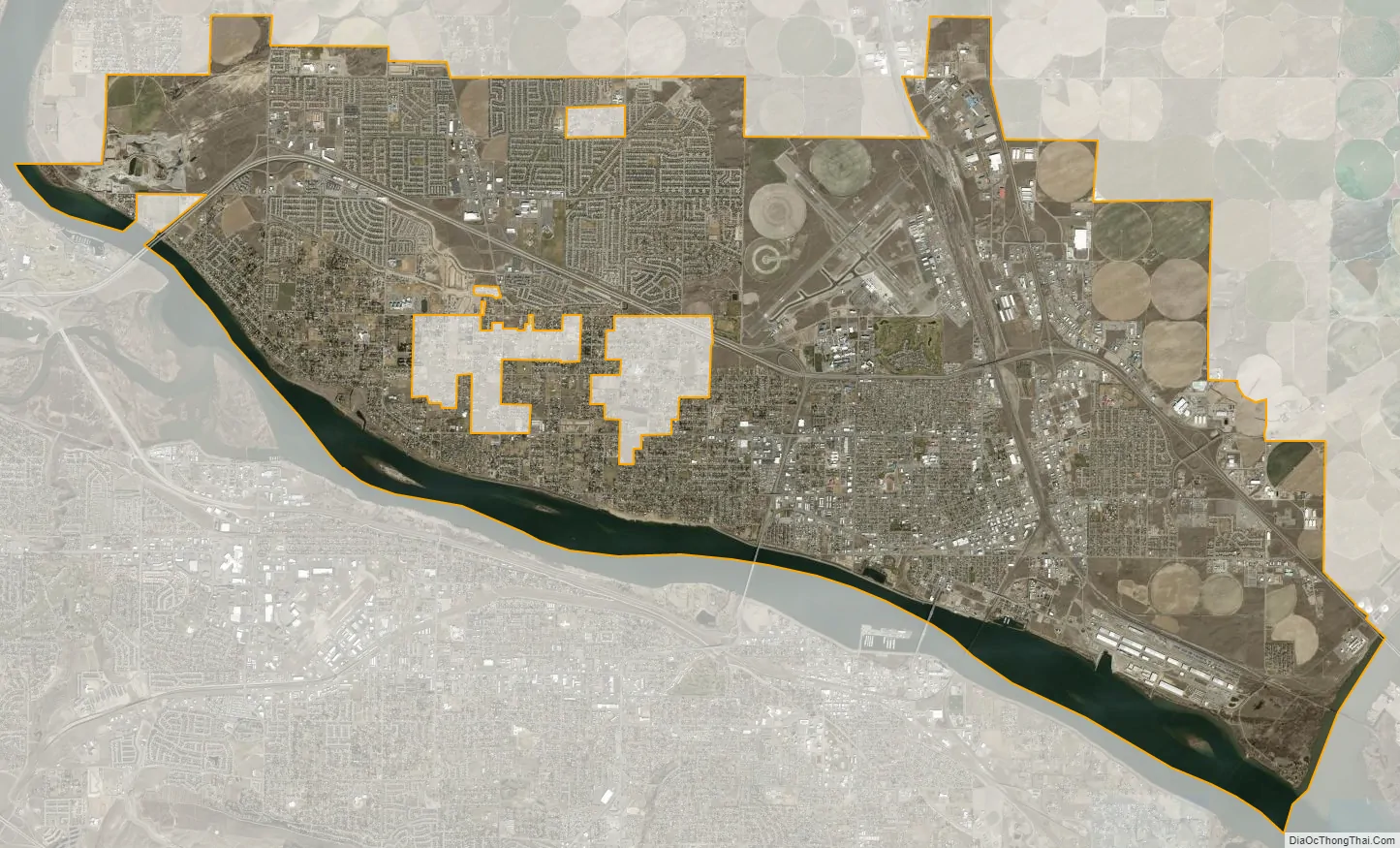
Pasco city Satellite Map
Geography
Pasco is located at 46°14′19″N 119°6′31″W / 46.23861°N 119.10861°W / 46.23861; -119.10861 (46.238507, −119.108534).
According to the United States Census Bureau, the city has a total area of 34.08 square miles (88.27 km), of which 30.50 square miles (78.99 km) is land and 3.58 square miles (9.27 km) is water.
As Pasco is located in Southeastern Washington, the city lies in the rain shadow of the Cascade Range. As a result, the area is a windswept desert, receiving little precipitation throughout the year. Hot summers, warm springs, and cold winters provide a stark contrast to other areas of the state.
The Columbia River borders the south side of the city, separating it from the neighboring cities of Richland and Kennewick.
See also
Map of Washington State and its subdivision:- Adams
- Asotin
- Benton
- Chelan
- Clallam
- Clark
- Columbia
- Cowlitz
- Douglas
- Ferry
- Franklin
- Garfield
- Grant
- Grays Harbor
- Island
- Jefferson
- King
- Kitsap
- Kittitas
- Klickitat
- Lewis
- Lincoln
- Mason
- Okanogan
- Pacific
- Pend Oreille
- Pierce
- San Juan
- Skagit
- Skamania
- Snohomish
- Spokane
- Stevens
- Thurston
- Wahkiakum
- Walla Walla
- Whatcom
- Whitman
- Yakima
- Alabama
- Alaska
- Arizona
- Arkansas
- California
- Colorado
- Connecticut
- Delaware
- District of Columbia
- Florida
- Georgia
- Hawaii
- Idaho
- Illinois
- Indiana
- Iowa
- Kansas
- Kentucky
- Louisiana
- Maine
- Maryland
- Massachusetts
- Michigan
- Minnesota
- Mississippi
- Missouri
- Montana
- Nebraska
- Nevada
- New Hampshire
- New Jersey
- New Mexico
- New York
- North Carolina
- North Dakota
- Ohio
- Oklahoma
- Oregon
- Pennsylvania
- Rhode Island
- South Carolina
- South Dakota
- Tennessee
- Texas
- Utah
- Vermont
- Virginia
- Washington
- West Virginia
- Wisconsin
- Wyoming