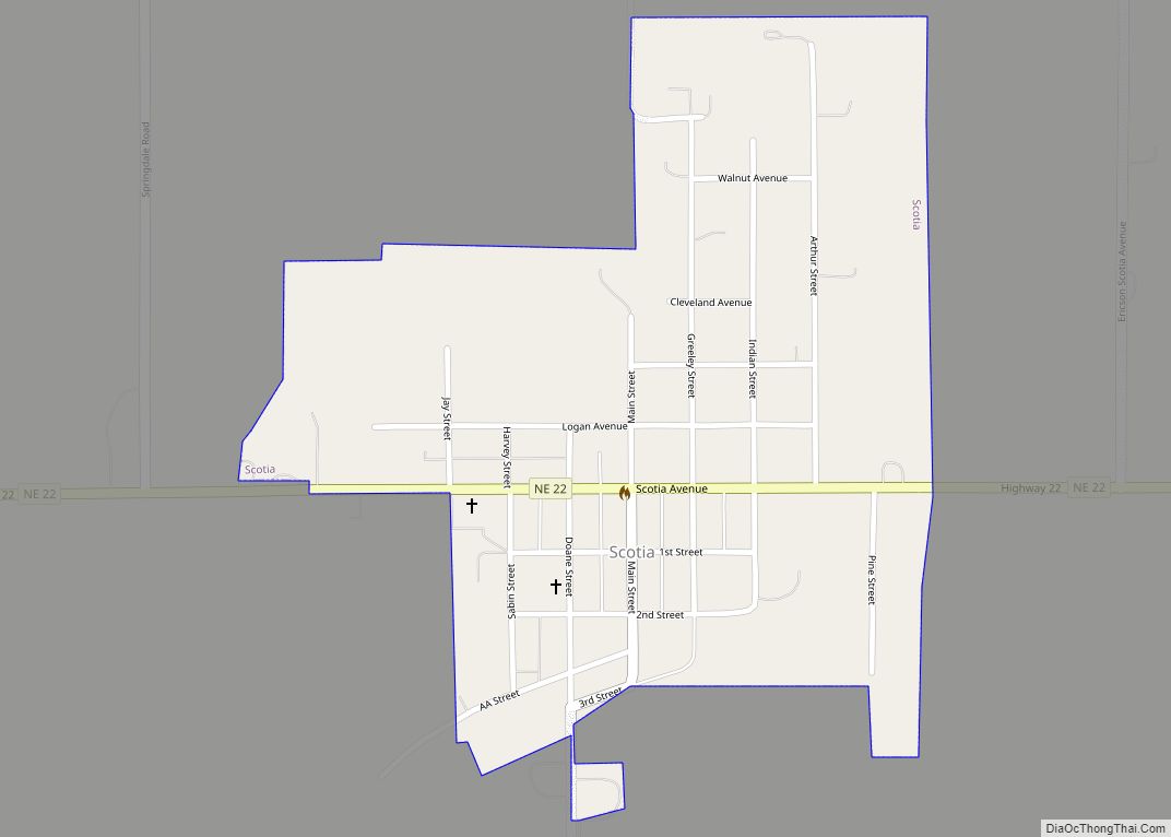
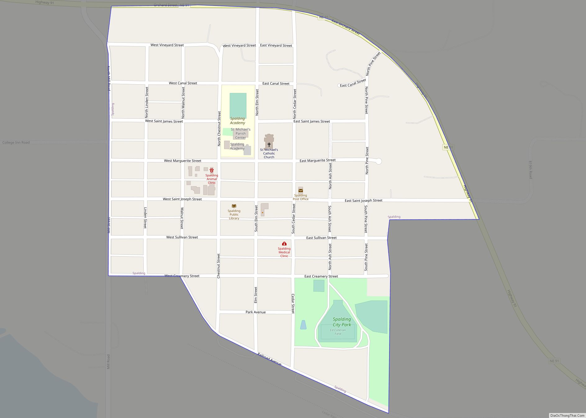
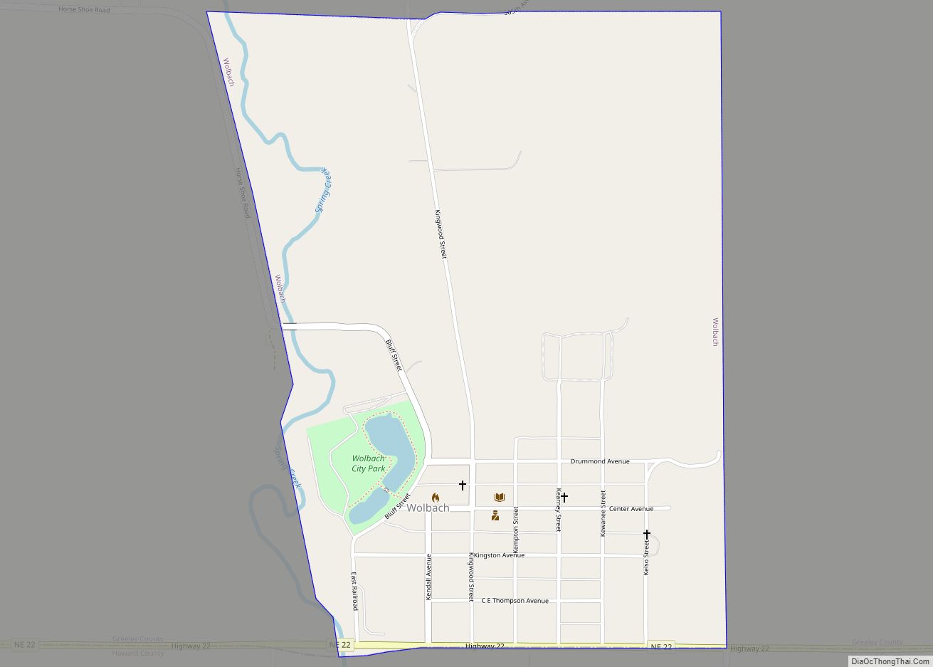
Greeley County is a county in the U.S. state of Nebraska. As of the 2010 census, the population was 2,538. Its county seat is Greeley.
In the Nebraska license plate system, Greeley County is represented by the prefix 62 (it had the 62nd-largest number of vehicles registered in the county when the license plate system was established in 1922).
| Name: | Greeley County |
|---|---|
| FIPS code: | 31-077 |
| State: | Nebraska |
| Founded: | 1871 |
| Named for: | Horace Greeley |
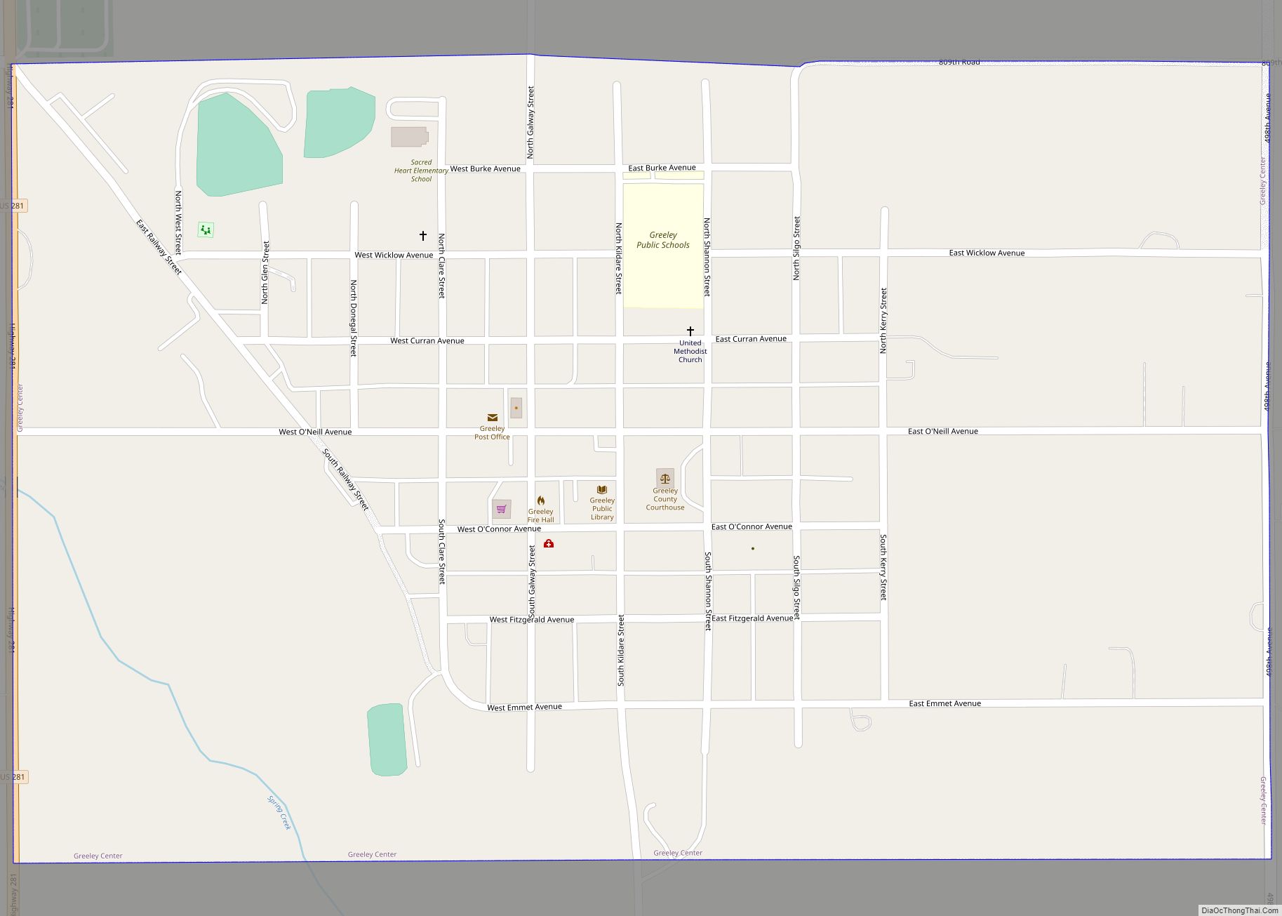
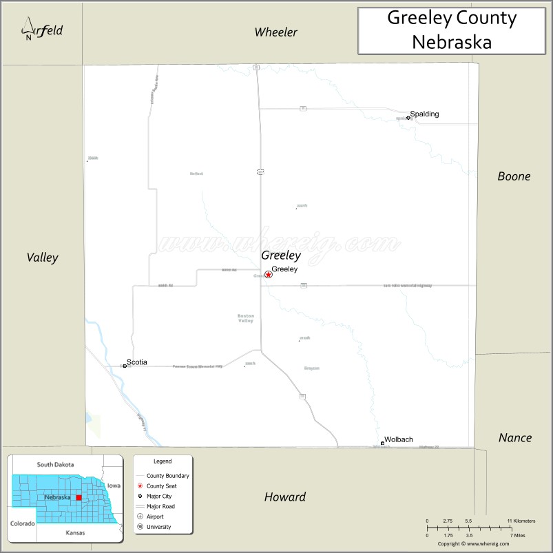
| Seat: | Greeley |
| Total Area: | 571 sq mi (1,480 km²) |
| Land Area: | 570 sq mi (1,500 km²) |
| Total Population: | 2,169 |
| Population Density: | 4.2/sq mi (1.6/km²) |
| Time zone: | UTC−6 (Central) |
| Summer Time Zone (DST): | UTC−5 (CDT) |
| Website: | www.greeleycounty.ne.gov |
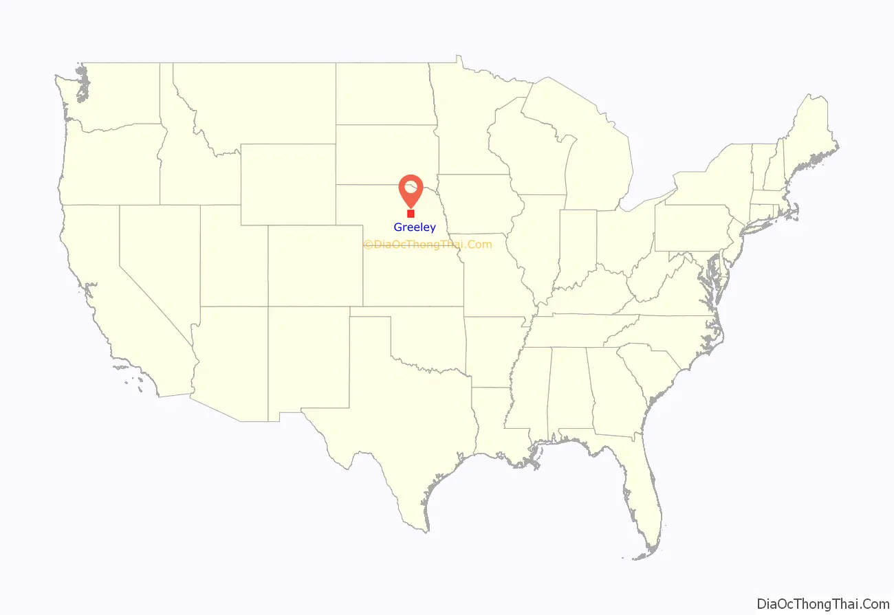
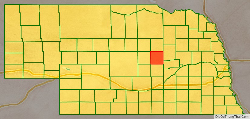
Greeley County location map. Where is Greeley County?
History
Greeley County was created in 1871 and organized in 1872. It was named after Horace Greeley, a newspaper editor and politician of the mid-19th century. Greeley encouraged western settlement with the motto “Go West, young man.”
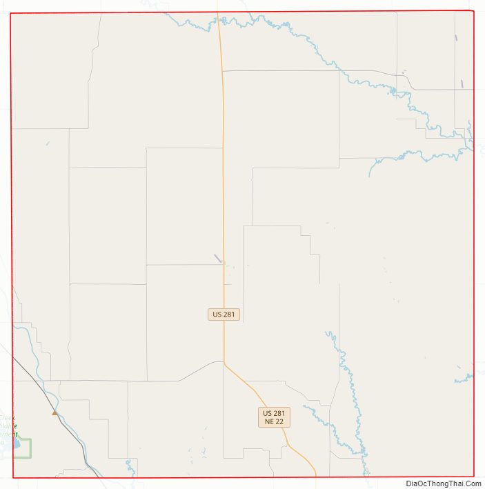
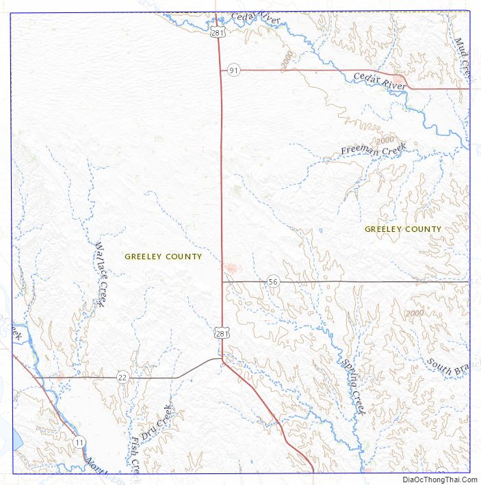
Greeley County Road Map
Geography
The Cedar River flows southeastward through the NE corner of Greeley County, and the North Loup River flows SSE through the SW corner of the county.
According to the US Census Bureau, the county has a total area of 571 square miles (1,480 km), of which 570 square miles (1,500 km) is land and 0.8 square miles (2.1 km) (0.1%) is water.
Major highways
- U.S. Highway 281
- Nebraska Highway 11
- Nebraska Highway 22
- Nebraska Highway 56
- Nebraska Highway 91
Adjacent counties
- Wheeler County (north)
- Boone County (northeast)
- Nance County (southeast)
- Howard County (south)
- Sherman County (southwest)
- Valley County (west)
Greeley County Topographic Map
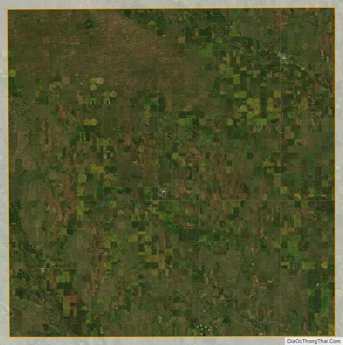
Greeley County Satellite Map
Greeley County Outline Map