Antelope County is a county located in the U.S. state of Nebraska. As of the 2020 United States Census, the population was 6,295. Its county seat is Neligh. The county was formed in 1871. It received its name after a group of early settlers killed and ate several pronghorn. Although these are not true antelope, they are colloquially known by that name.
The Ashfall Fossil Beds National Natural Landmark is located within the county.
In the Nebraska license plate system, Antelope County is represented by the prefix 26 (it had the 26th-largest number of vehicles registered in the state when the license plate system was established in 1922).
| Name: | Antelope County |
|---|---|
| FIPS code: | 31-003 |
| State: | Nebraska |
| Founded: | 1871 |
| Named for: | Pronghorn antelope |
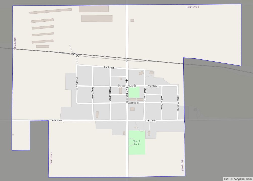
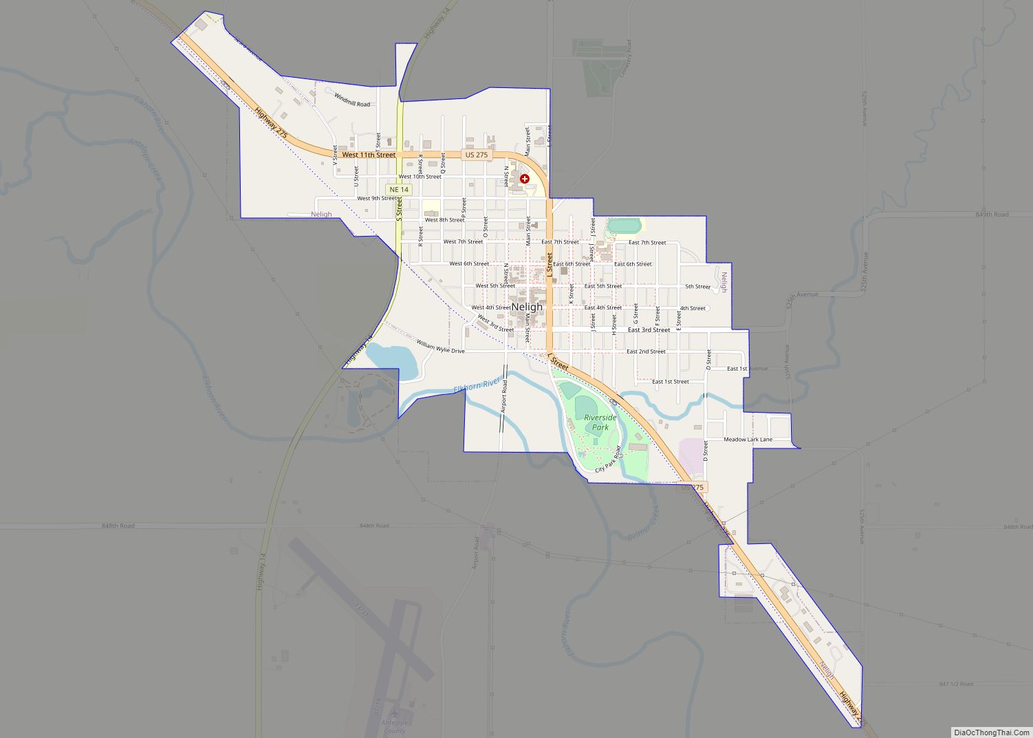
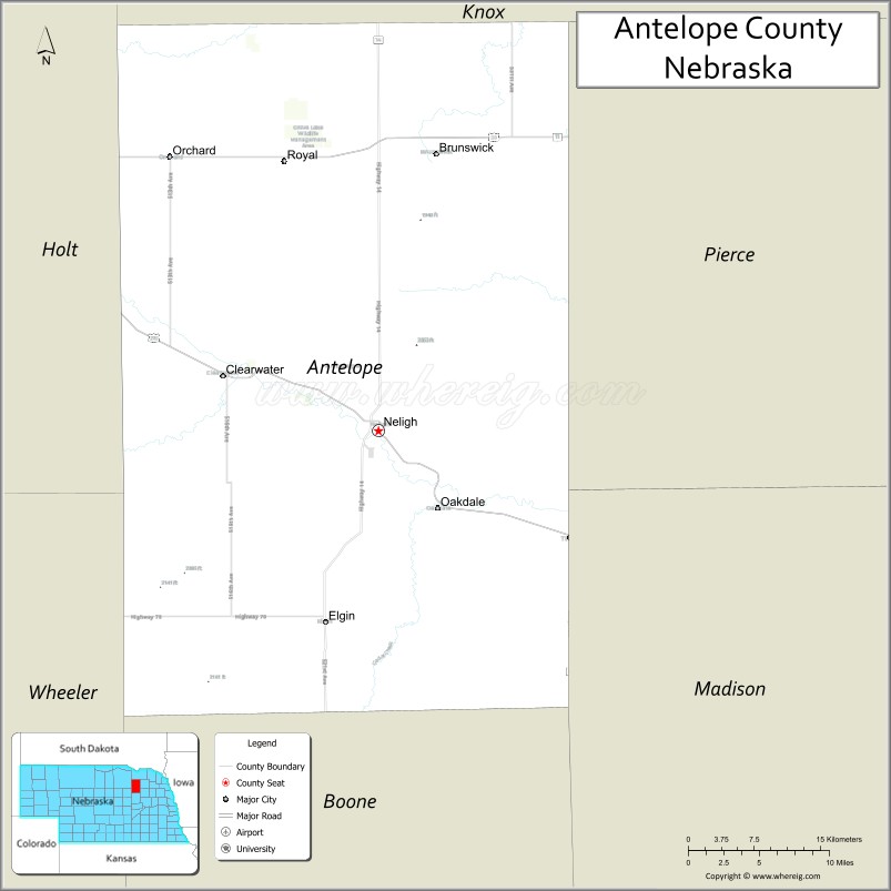
| Seat: | Neligh |
| Largest city: | Neligh |
| Total Area: | 859 sq mi (2,220 km²) |
| Land Area: | 857 sq mi (2,220 km²) |
| Total Population: | 6,279 |
| Population Density: | 7.4/sq mi (2.9/km²) |
| Time zone: | UTC−6 (Central) |
| Summer Time Zone (DST): | UTC−5 (CDT) |
| Website: | www.co.antelope.ne.us |
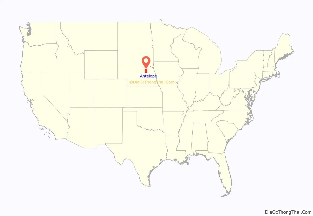
Antelope County location map. Where is Antelope County?
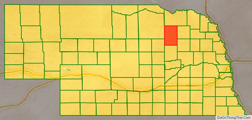
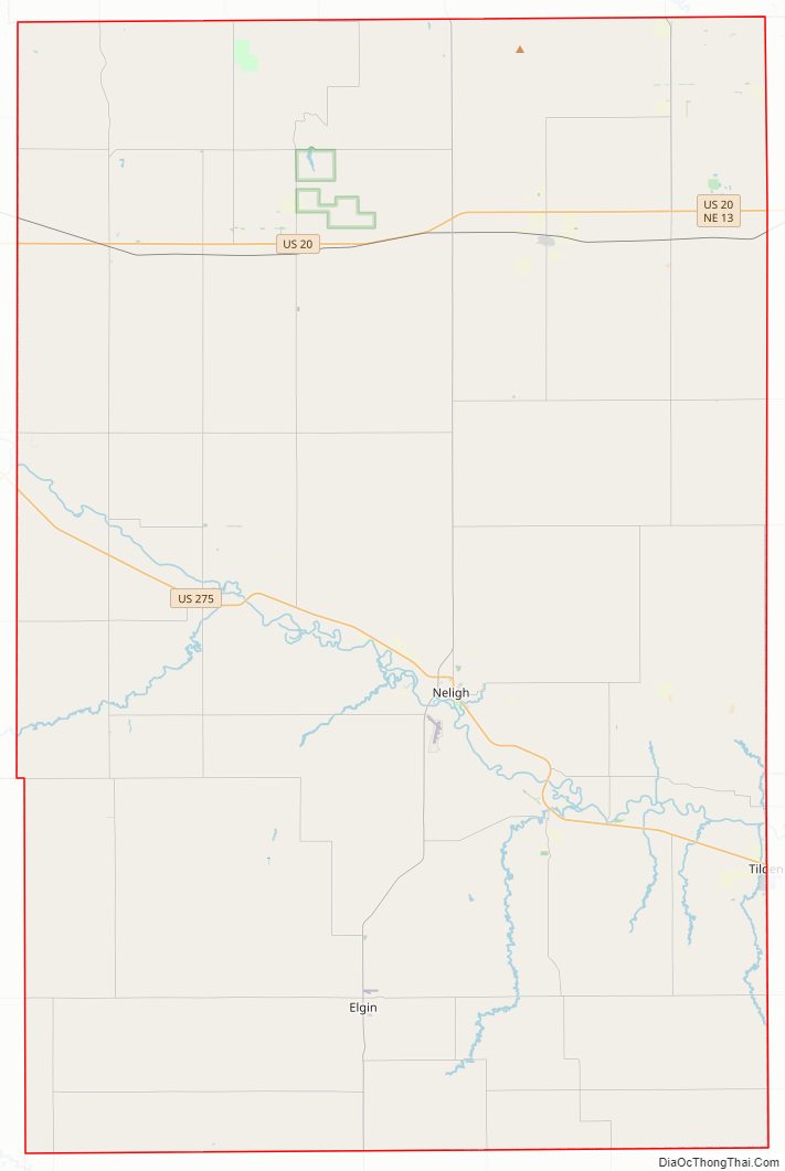
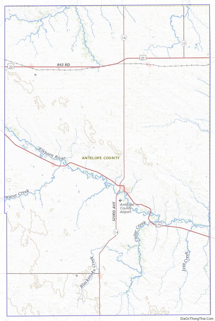
Antelope County Road Map
Geography
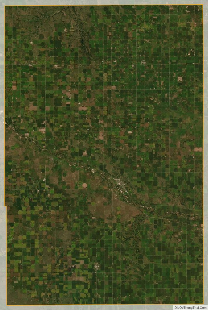
According to the US Census Bureau, the county has an area of 859 square miles (2,220 km), of which 857 square miles (2,220 km) is land and 1.4 square miles (3.6 km) (0.2%) is water.
Adjacent counties
- Pierce County – east
- Madison County – southeast
- Boone County – south
- Wheeler County – southwest
- Holt County – west
- Knox County – north
Major highways
- U.S. Highway 20
- U.S. Highway 275
- Nebraska Highway 13
- Nebraska Highway 14
- Nebraska Highway 45
- Nebraska Highway 70
Protected areas
- Ashfall Fossil Beds State Historical Park
Antelope County Topographic Map
Antelope County Satellite Map
Antelope County Outline Map