Arthur County is a county located in the U.S. state of Nebraska. As of the 2020 United States Census, the population was 434, making it Nebraska’s third least populous county and the seventh-least populous county in the United States (behind only Loving County, Texas; Kalawao County, Hawaii; King County, Texas; Kenedy County, Texas; McPherson County, Nebraska; and Blaine County, Nebraska). Its county seat and only incorporated community is Arthur.
In the Nebraska license plate system, Arthur County is represented by the prefix 91 (it had the 91st-largest number of vehicles registered in the state when the license plate system was established in 1922).
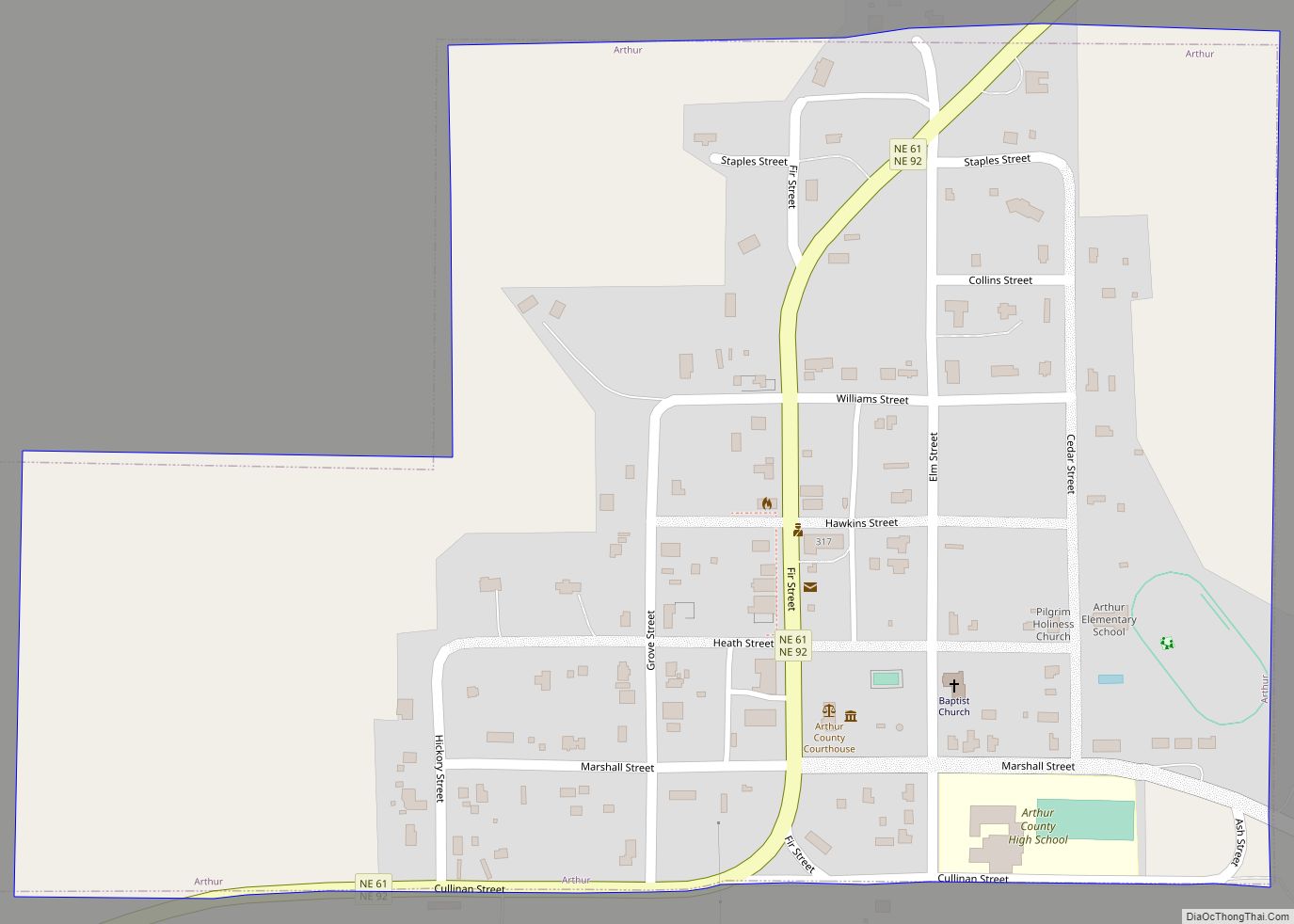
Arthur County contains the historic First Arthur County Courthouse and Jail, believed to be the smallest courthouse in the United States.
| Name: | Arthur County |
|---|---|
| FIPS code: | 31-005 |
| State: | Nebraska |
| Founded: | 1913 |
| Named for: | Chester A. Arthur |
| Seat: | Arthur |
| Total Area: | 718 sq mi (1,860 km²) |
| Land Area: | 715 sq mi (1,850 km²) |
| Total Population: | 434 |
| Population Density: | 0.6/sq mi (0.2/km²) |
| Time zone: | UTC−7 (Mountain) |
| Summer Time Zone (DST): | UTC−6 (MDT) |
| Website: | arthurcounty.nebraska.gov |
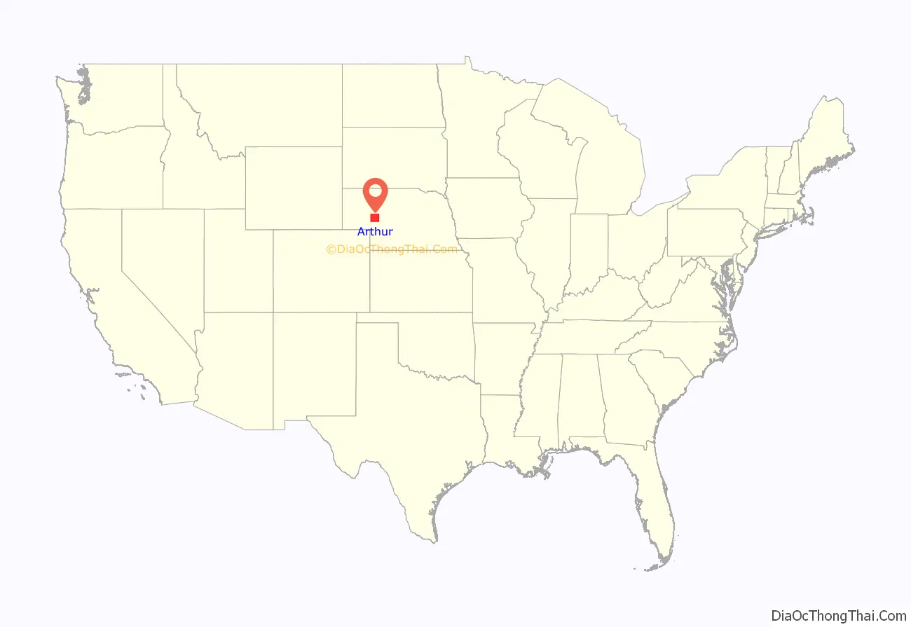
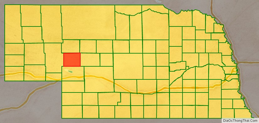
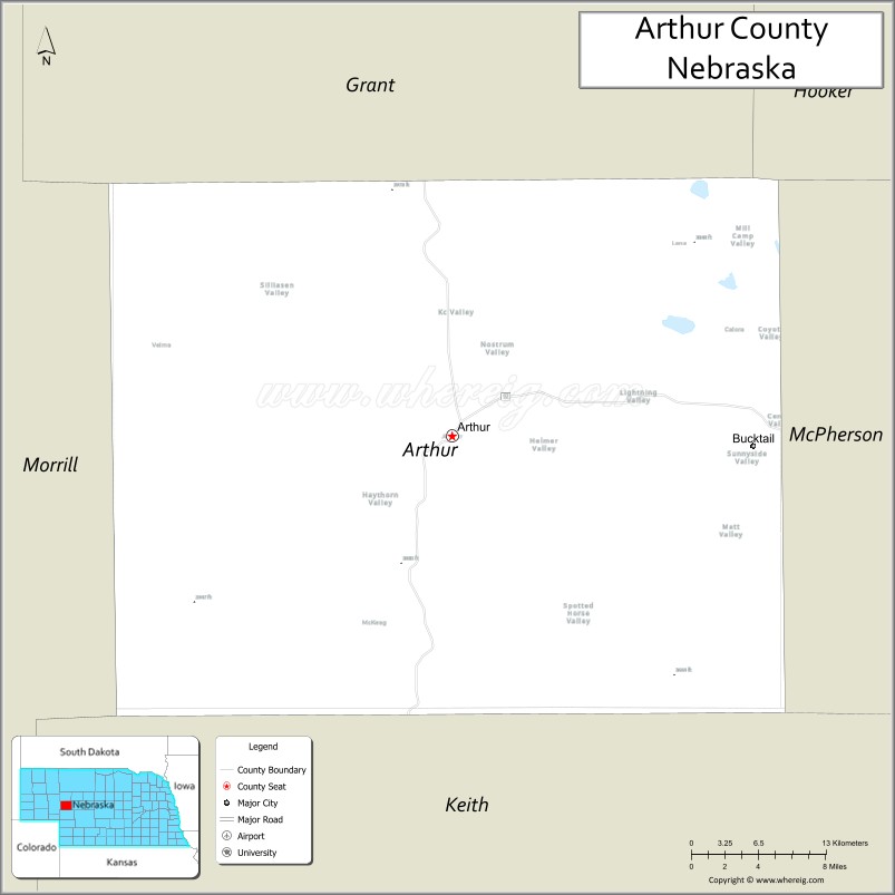
Arthur County location map. Where is Arthur County?
History
Arthur County was established in 1913 from the western part of McPherson County following an effort to move the McPherson County seat from Tryon to the more centrally located Flats: rather than lose the county seat, the residents of Tryon, Nebraska agreed to have the county divided approximately in half, according to boundaries for sandhills counties originally proposed in 1887. The half which became Arthur County had been in the process of settlement by 1884, by ranchers seeking open grazing land. The placement of a post office at Lena in 1894 and the passage of the homesteading act in 1904 (which allowed claims of 640 acres compared to the previous 160 acres in this area) further influenced the county’s founding and expedited the new county’s establishment processes.
The new county was named after President Chester A. Arthur, and the village of Arthur, similarly named, was established to serve as the county seat. Principal postal service moved from Lena to the village of Arthur in 1914, which also held the county’s public schools, general store, bank and co-op, principal churches, newspaper and other businesses and services, all aimed at continuing and facilitating the county’s rural lifestyle.
The 1920 United States Census counted 1,412 residents in Arthur County, which was then and has remained entirely rural, essentially ranching. Although the village of Arthur underwent electrification in the 1920s, most of the county did not see power or telephone services until 1950–1951. At that time also, highway construction and improvements facilitated transportation, which was especially dependent upon the north-south State Highway 61 and the east-west Highway 92: motor vehicles were the sole means of mechanical transportation throughout Arthur’s history as it had no railroad or canal. Irrigation of the sandhills land started by 1900 and continued through the first half of the twentieth century, with center-pivot irrigation dominating. The population peaked around 1930 at 1,344 persons, but declined with the Great Depression. By 1950, the county population was down to 803, by 1980 down to 513.
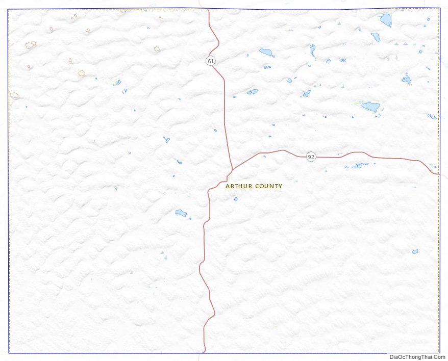
Arthur County Road Map
Geography
According to the US Census Bureau, the county has an area of 718 square miles (1,860 km), of which 715 square miles (1,850 km) is land and 3.0 square miles (7.8 km) (0.4%) is water.
Major highways
- Nebraska Highway 61
- Nebraska Highway 92
Adjacent counties
- Grant County – north
- Hooker County – northeast
- McPherson County – east
- Keith County – south
- Garden County – west
Arthur County Topographic Map
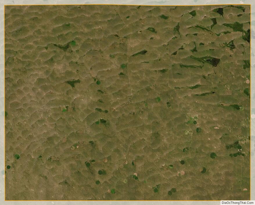
Arthur County Satellite Map
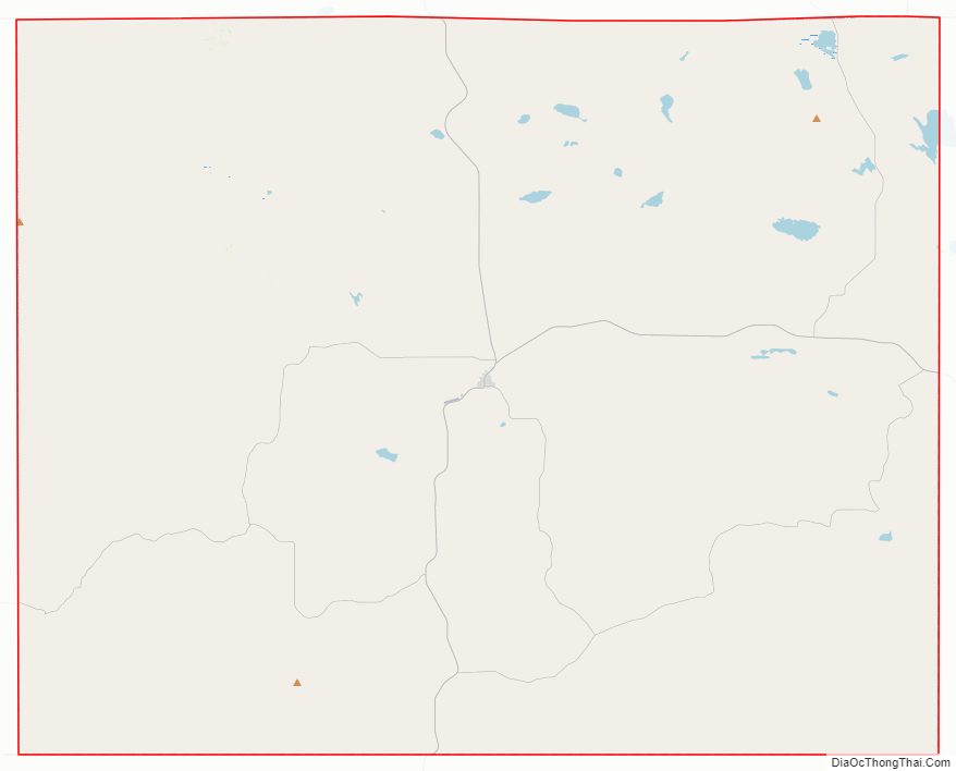
Arthur County Outline Map