Ketchikan Gateway Borough is a borough located in the U.S. state of Alaska. As of the 2020 census its population was 13,948, up from 13,477 in 2010. The borough seat is Ketchikan. The borough is the second most populous borough in Southeast Alaska, the first being Juneau Borough.
Ketchikan Gateway Borough comprises the Ketchikan, AK Micropolitan Statistical Area.
| Name: | Ketchikan Gateway Borough |
|---|---|
| FIPS code: | 02-130 |
| State: | Alaska |
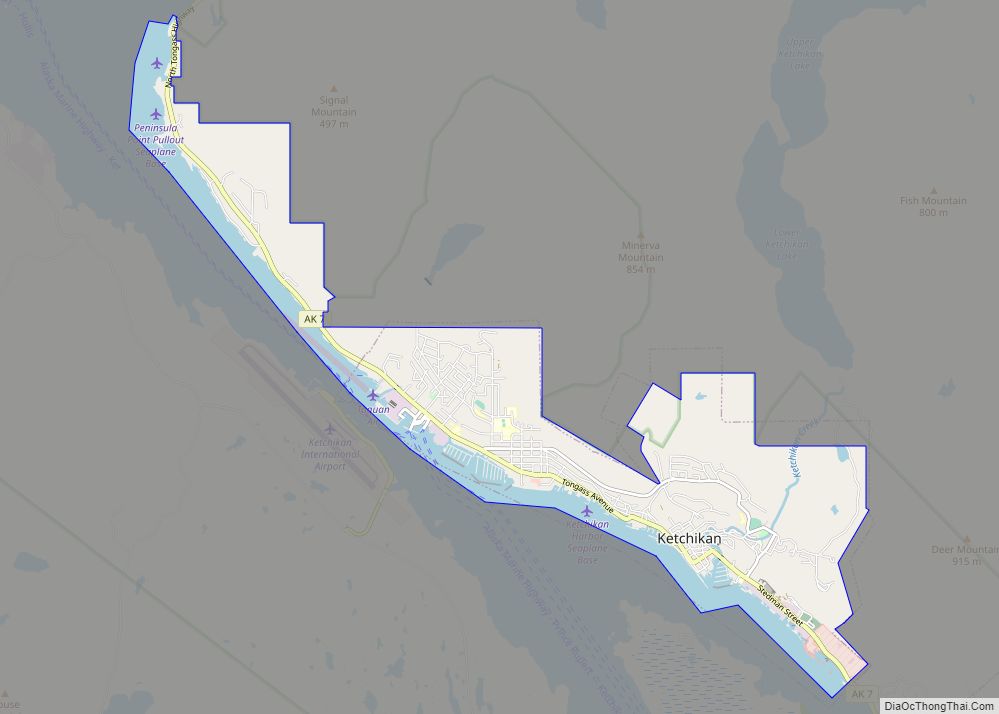
| Seat: | Ketchikan |
| Largest city: | Ketchikan |
| Total Area: | 6,654 sq mi (17,230 km²) |
| Land Area: | 4,858 sq mi (12,580 km²) |
| Total Population: | 13,948 |
| Population Density: | 2.1/sq mi (0.81/km²) |
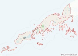
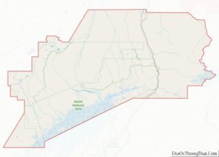
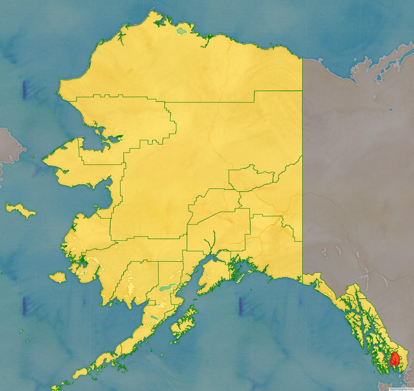
Ketchikan Gateway Borough location map. Where is Ketchikan Gateway Borough?
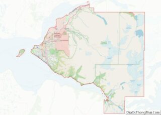
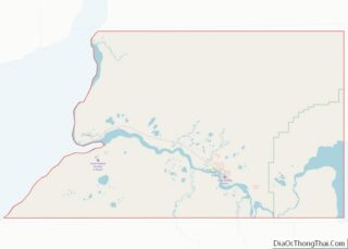
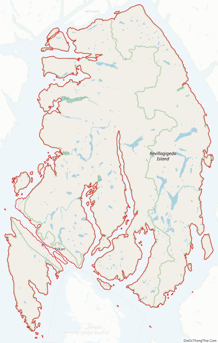
Ketchikan Gateway Borough Road Map
Geography
The borough has a total area of 6,654 square miles (17,230 km), of which 4,858 square miles (12,580 km) is land and 1,795 square miles (4,650 km) (27.0%) is water. On May 19, 2008, a large part of the former Prince of Wales–Outer Ketchikan Census Area was annexed, including the remainder of Misty Fjords National Monument that was not already in the borough, making the current figures much larger than these. A map of the current area can be seen here:
Adjacent boroughs and census areas
- Prince of Wales–Hyder Census Area, AK – east, west
- City and Borough of Wrangell, AK – north
- Kitimat–Stikine Regional District, BC – east
- Skeena–Queen Charlotte Regional District, BC – south
National protected areas
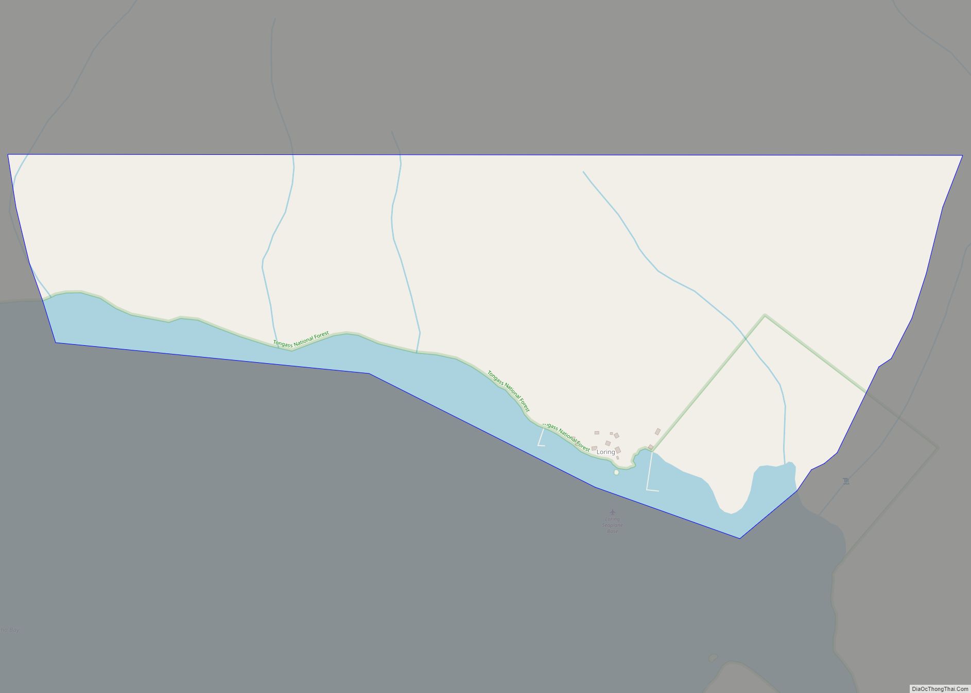
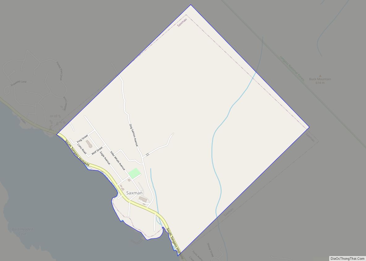
- Tongass National Forest – partly
- Misty Fjords National Monument
- Misty Fjords National Monument Wilderness
- Misty Fjords National Monument
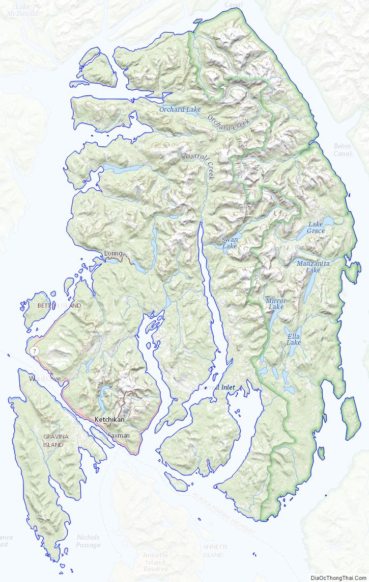
Ketchikan Gateway Borough Topographic Map
Ketchikan Gateway Borough Satellite Map
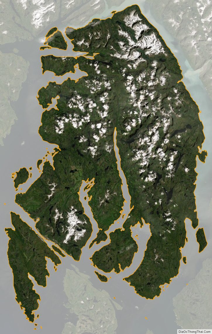
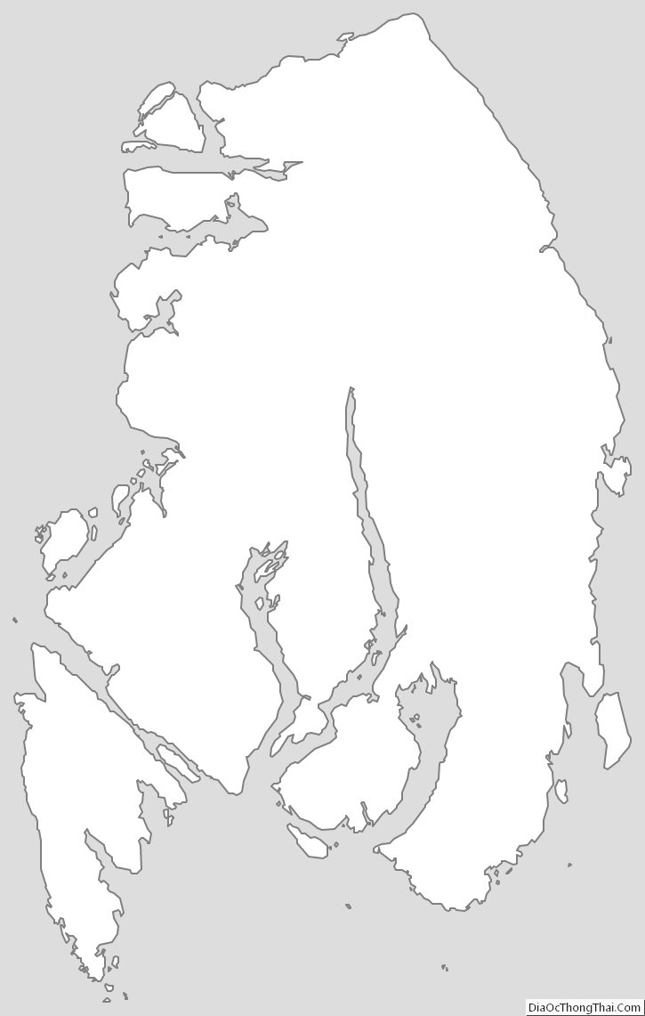
Ketchikan Gateway Borough Outline Map