Ketchikan (/ˈkɛtʃɪkæn/ KETCH-ih-kan; Tlingit: Kichx̱áan) is a city in and the borough seat of the Ketchikan Gateway Borough of Alaska. It is the state’s southeasternmost major settlement. Downtown Ketchikan is a National Historic District.
With a population at the 2020 census of 8,192, up from 8,050 in 2010, it is the sixth-most populous city in the state, and thirteenth-most populous community when census-designated places are included. The surrounding borough, encompassing suburbs both north and south of the city along the Tongass Highway (most of which are commonly regarded as a part of Ketchikan, albeit not a part of the city itself), plus small rural settlements accessible mostly by water, registered a population of 13,948 in that same census.
Incorporated on August 25, 1900, Ketchikan is the earliest extant incorporated city in Alaska, because consolidation or unification elsewhere in Alaska resulted in the dissolution of those communities’ city governments. Ketchikan is located on Revillagigedo Island, so named in 1793 by Captain George Vancouver.
Ketchikan is named after Ketchikan Creek, which flows through the town, emptying into the Tongass Narrows a short distance southeast of its downtown. “Ketchikan” comes from the Tlingit name for the creek, Kitschk-hin, the meaning of which is unclear. It may mean “the river belonging to Kitschk”; other accounts claim it means “Thundering Wings of an Eagle”. In modern Tlingit, this name is Kichx̱áan.
| Name: | Ketchikan city |
|---|---|
| LSAD Code: | 25 |
| LSAD Description: | city (suffix) |
| State: | Alaska |
| County: | Ketchikan Gateway Borough |
| Incorporated: | August 25, 1900 |
| Elevation: | 0 ft (0 m) |
| Total Area: | 4.90 sq mi (12.70 km²) |
| Land Area: | 3.81 sq mi (9.88 km²) |
| Water Area: | 1.09 sq mi (2.82 km²) |
| Total Population: | 8,192 |
| Population Density: | 2,147.88/sq mi (829.19/km²) |
| ZIP code: | 99901, 99950 |
| Area code: | 907 |
| FIPS code: | 0238970 |
| GNISfeature ID: | 1423039 |
| Website: | www.city.ketchikan.ak.us |
Online Interactive Map
Click on ![]() to view map in "full screen" mode.
to view map in "full screen" mode.
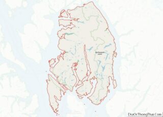
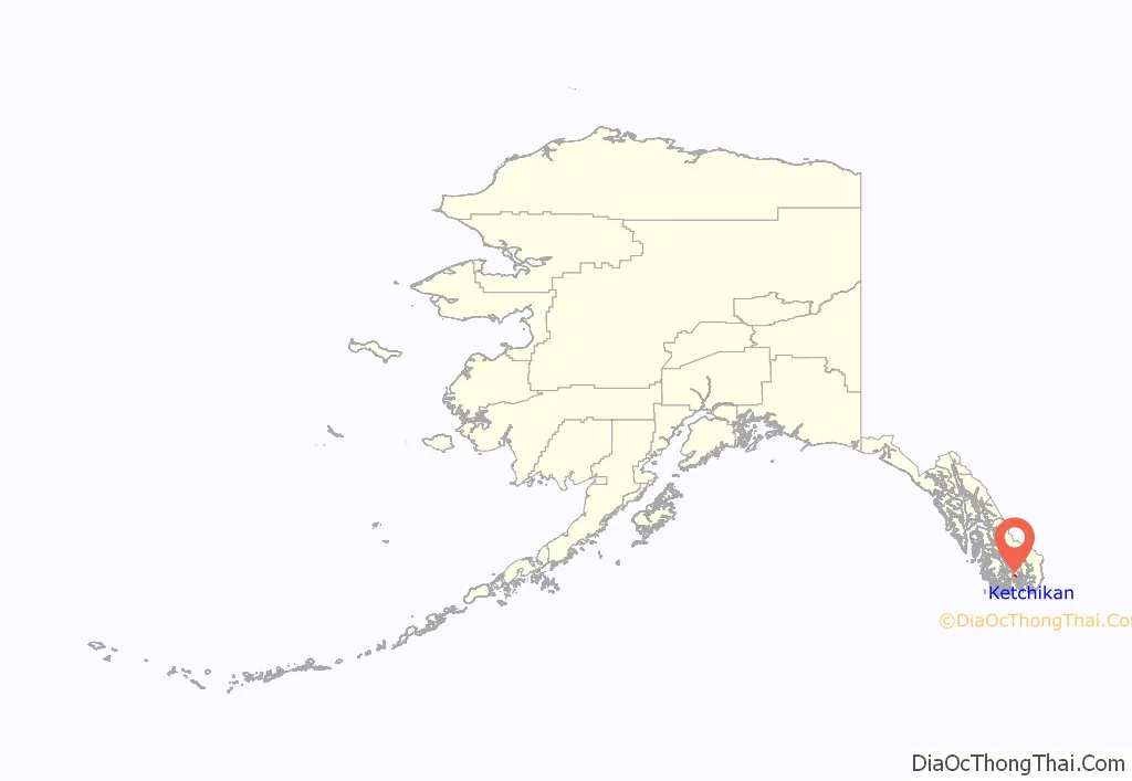
Ketchikan location map. Where is Ketchikan city?
History
Ketchikan Creek served as a summer fish camp for Tlingit natives for untold years before the town was established by Mike Martin in 1885. He was sent to the area by an Oregon canning company to assess prospects. He established the saltery Clark & Martin and a general store with Nova Scotia native George Clark, who had been foreman at a cannery that burned down.
Ketchikan became known as “Alaska’s first city” due to its strategic position at the southern tip of the Inside Passage, connecting the Gulf of Alaska to Puget Sound.
In 1905 a mission house was built, which in 1909 became the Yates Memorial Hospital. In 2020, the National Trust for Historic Preservation named the former hospital as one of America’s most endangered historic places.
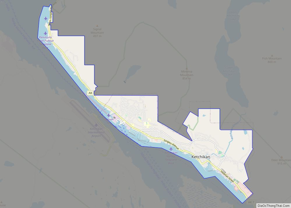
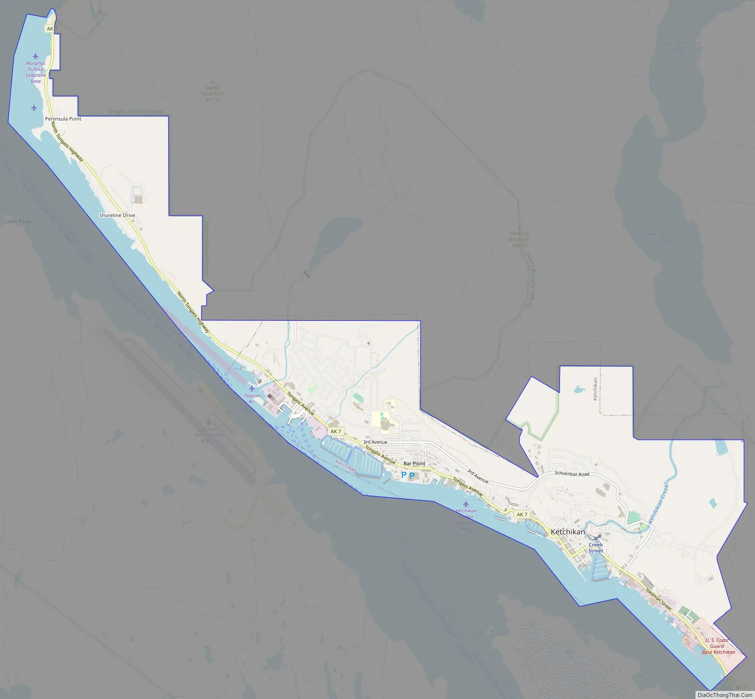
Ketchikan Road Map
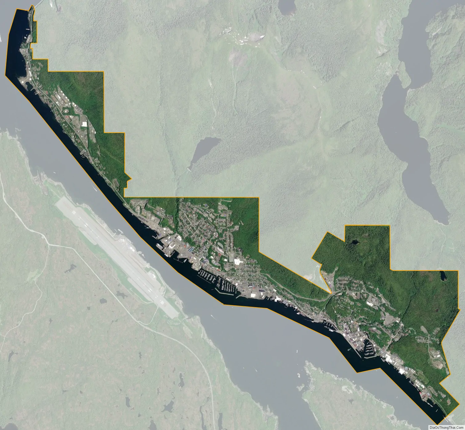
Ketchikan city Satellite Map
Geography
Ketchikan’s GPS geographic coordinates are latitude 55.342 (slightly south of both Copenhagen, Denmark at 55.676 and Glasgow, Scotland at 55.864) and longitude -131.648. The city is located in southernmost Southeast Alaska on Revillagigedo Island, 700 miles (1,100 km) northwest of Seattle, Washington, 235 miles (378 km) southeast of Juneau, Alaska, and 88 miles (142 km) northwest of Prince Rupert, British Columbia, Canada. It is surrounded by the Tongass National Forest, which is managed by the United States Forest Service from its headquarters in the Ketchikan Federal Building downtown, and to the south by the Tongass Narrows, a narrow east-west saltwater channel, which is part of the Inside Passage.
Due to its steep and forested terrain, Ketchikan is long and narrow with much of the built-up area being located along, or no more than a few city blocks from, the waterfront. Elevations of inhabited areas range from just above sea level to about 300 feet (91 m). Deer Mountain, a 3,001-foot (915 m) peak, rises immediately east of the city’s downtown area.
According to the United States Census Bureau, the city has a total area of 5.9 square miles (15.3 km). 4.4 square miles (11.3 km) of it is land and 1.5 square miles (4.0 km) of it (29.14%) is water.
The half-mile (800 m) wide channel called the Tongass Narrows separates Ketchikan from Gravina Island, where Ketchikan International Airport is located.
See also
Map of Alaska State and its subdivision:- Aleutians East
- Aleutians West
- Anchorage
- Bethel
- Bristol Bay
- Denali
- Dillingham
- Fairbanks North Star
- Haines
- Juneau
- Kenai Peninsula
- Ketchikan Gateway
- Kodiak Island
- Lake and Peninsula
- Matanuska-Susitna
- Nome
- North Slope
- Northwest Arctic
- Prince of Wales-Outer Ketchi
- Sitka
- Skagway-Yakutat-Angoon
- Southeast Fairbanks
- Valdez-Cordova
- Wade Hampton
- Wrangell-Petersburg
- Yukon-Koyukuk
- Alabama
- Alaska
- Arizona
- Arkansas
- California
- Colorado
- Connecticut
- Delaware
- District of Columbia
- Florida
- Georgia
- Hawaii
- Idaho
- Illinois
- Indiana
- Iowa
- Kansas
- Kentucky
- Louisiana
- Maine
- Maryland
- Massachusetts
- Michigan
- Minnesota
- Mississippi
- Missouri
- Montana
- Nebraska
- Nevada
- New Hampshire
- New Jersey
- New Mexico
- New York
- North Carolina
- North Dakota
- Ohio
- Oklahoma
- Oregon
- Pennsylvania
- Rhode Island
- South Carolina
- South Dakota
- Tennessee
- Texas
- Utah
- Vermont
- Virginia
- Washington
- West Virginia
- Wisconsin
- Wyoming