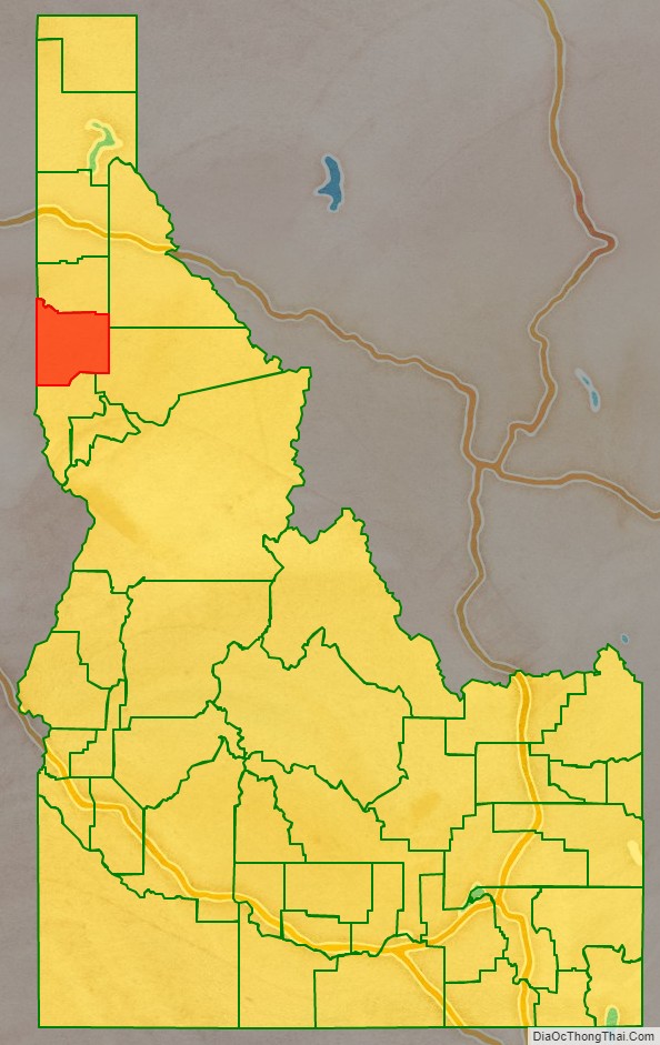
| Name: | Latah County |
|---|---|
| FIPS code: | 16-057 |
| State: | Idaho |
| Founded: | May 14, 1888 |
| Named for: | Latah Creek |
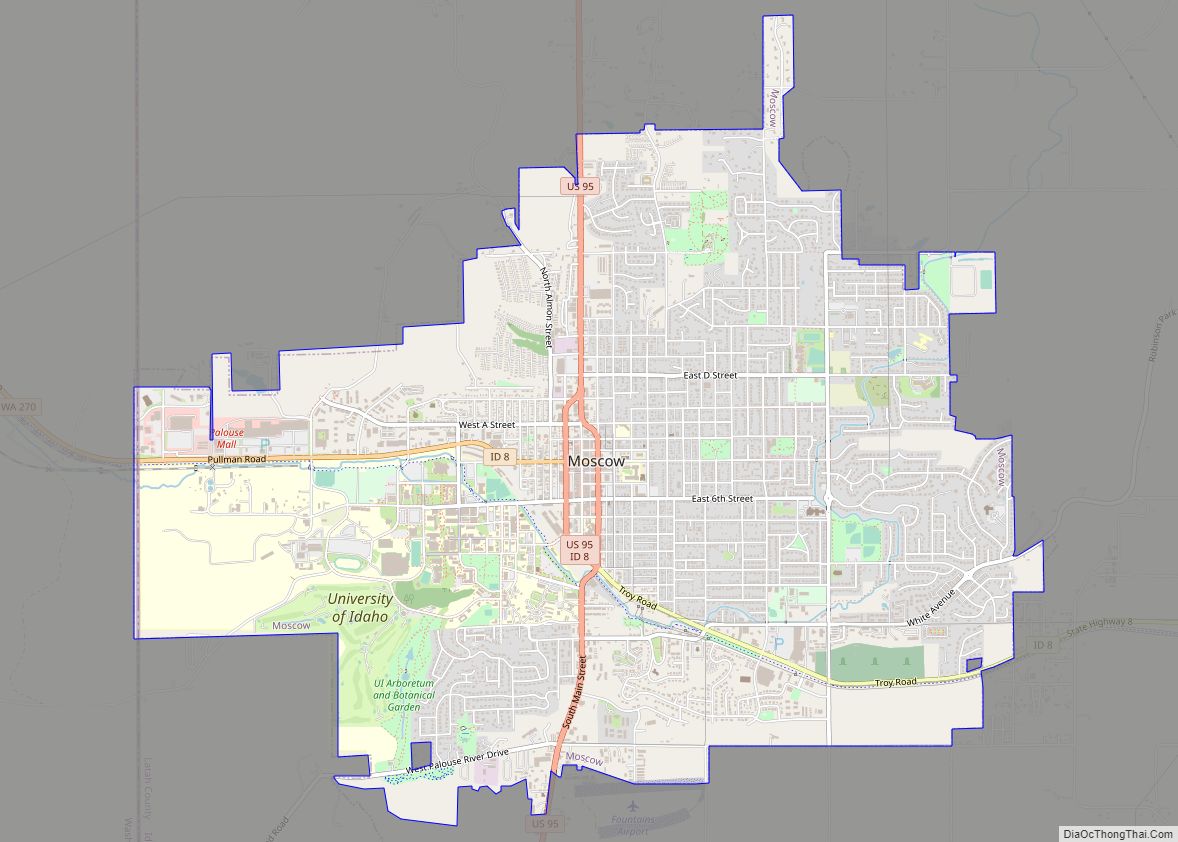
| Seat: | Moscow |
| Largest city: | Moscow |
| Total Area: | 1,077 sq mi (2,790 km²) |
| Land Area: | 1,077 sq mi (2,790 km²) |
| Total Population: | 39,517 |
| Population Density: | 37/sq mi (14/km²) |
| Time zone: | UTC−8 (Pacific) |
| Summer Time Zone (DST): | UTC−7 (PDT) |
| Website: | latah.id.us |
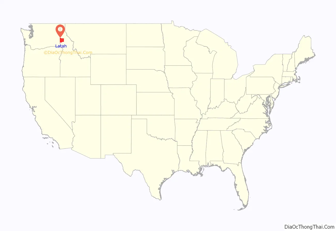
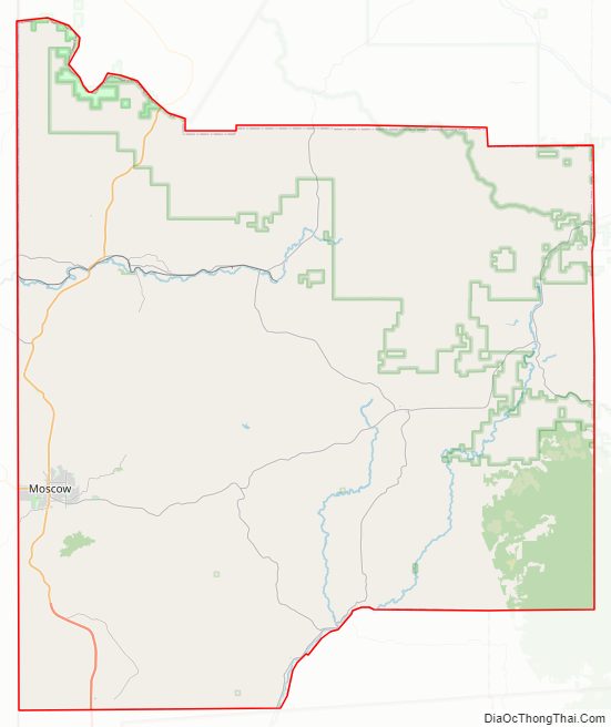
Latah County location map. Where is Latah County?
History
Settlement
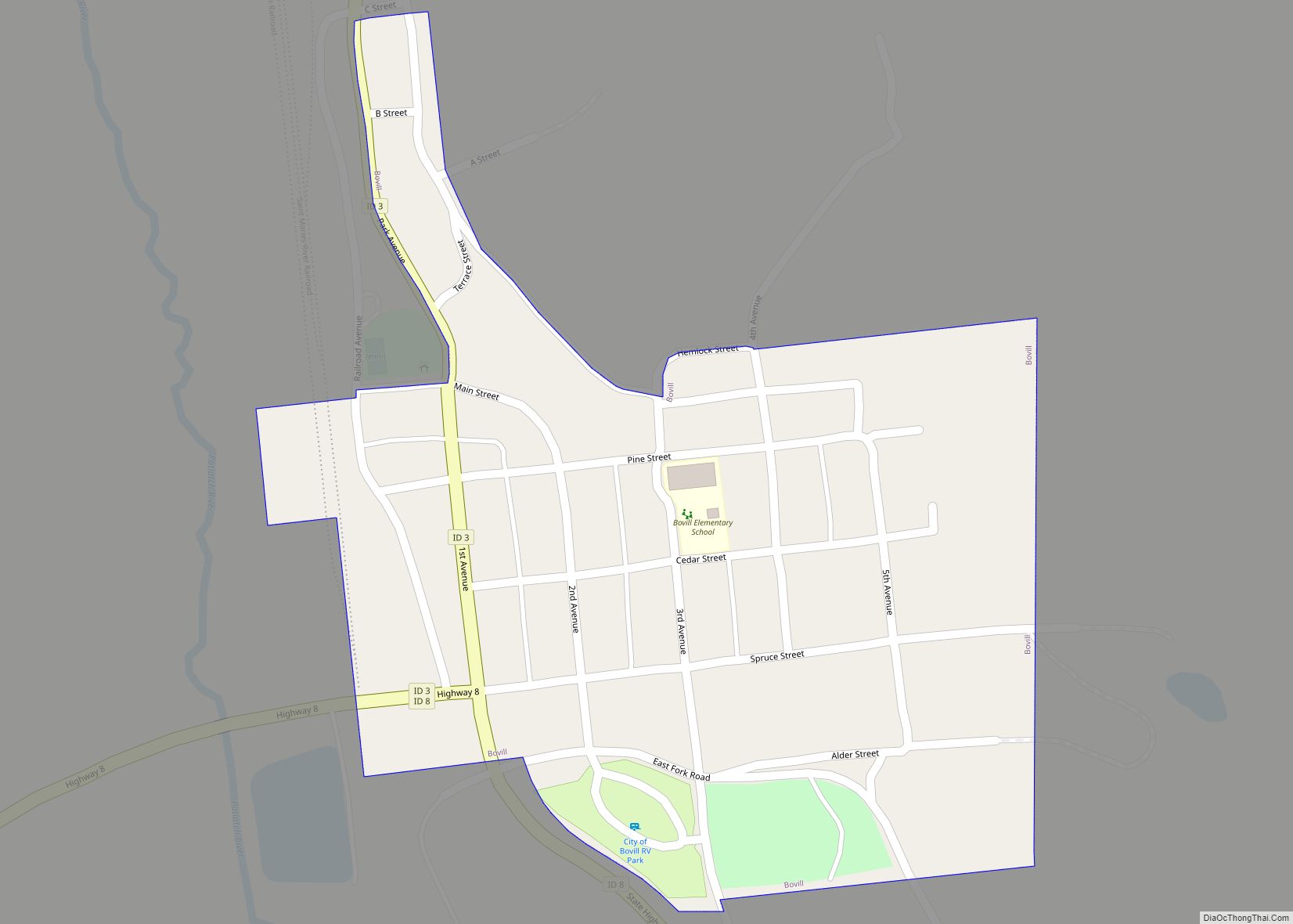
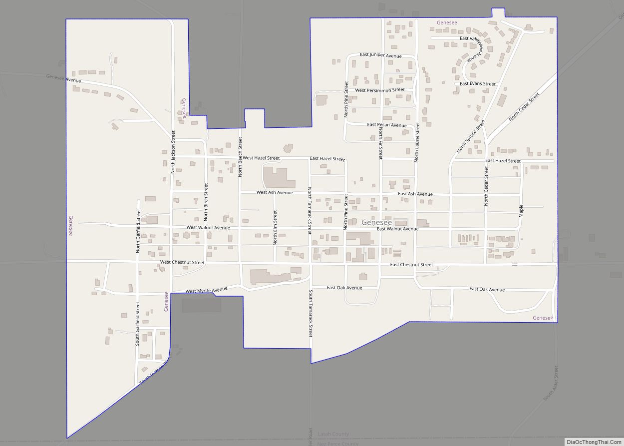
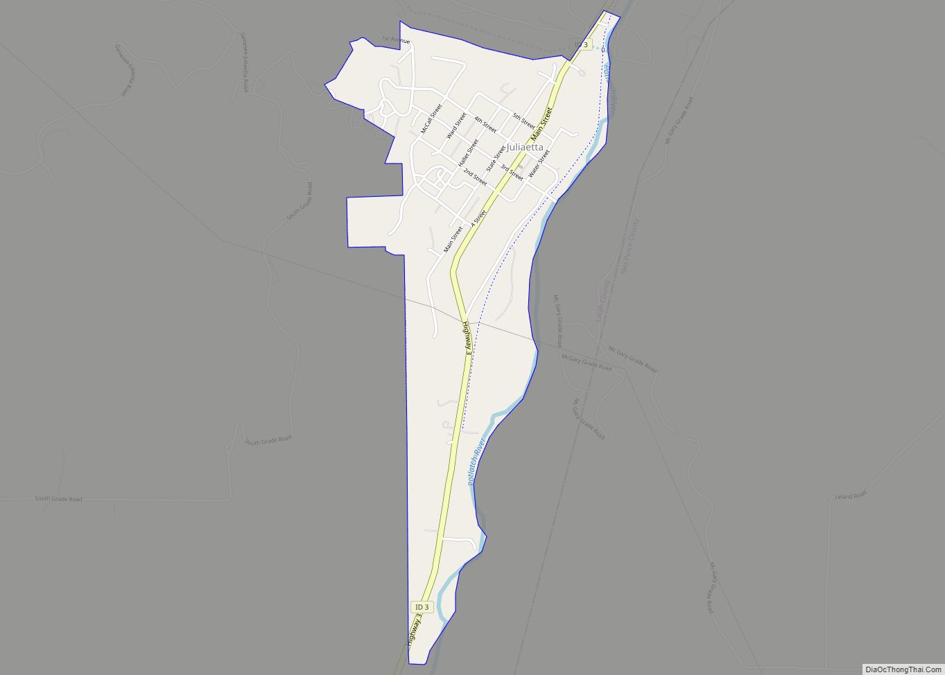
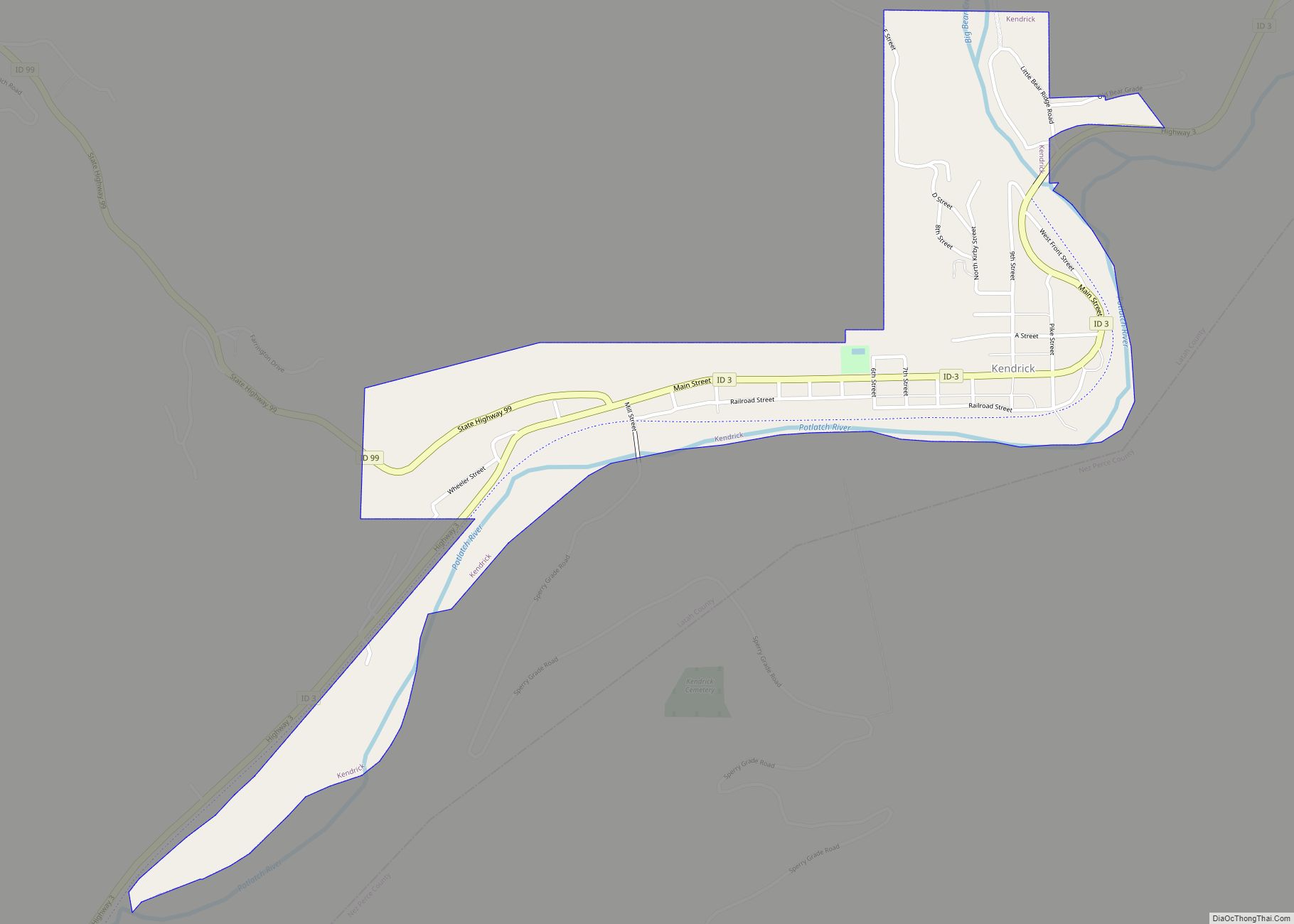
Settlement of the Palouse commenced in 1871. Development of population centers at Genesee and Moscow are the earliest followed by Juliaetta and Kendrick in the 1880s. The railroad’s arrival in Moscow in 1885 led to its development as the primary population center of the county. The establishment of the University of Idaho at Moscow in 1889 also was significant in the city’s continued growth. Settlement of Troy commenced in 1895 with Bovill being first settled by Lord Hugh Bovill in 1899. Construction of a railroad from Moscow to Bovill was completed in 1907 with the town of Deary developing in that year on the railroad. Potlatch was settled as a company town in 1905.
Development of cities
Moscow first shows in the 1880 census with a population of 76. It was incorporated as a village in 1887. Genesee was established as a town in 1889. Julieatta, Kendrick, and Troy were established as towns by the 1900 Census, with each incorporating as a village prior to 1910. Bovill and Deary were incorporated as villages prior to 1920. Potlatch and Onaway remained unincorporated as late as 1960. They were returned at the 1950 Census as a single unincorporated area.
County boundary history
The Idaho Territorial Legislature established the counties of Lah-Toh and Kootenai on December 22, 1864. Lah-Toh contained all of northern Idaho west of Shoshone County between the Clearwater River and 48° north latitude. Coeur d’Alene was named the county seat of Lah-Toh County. The legislature was well aware that settlement was lacking in the area to support a county government and established that the Governor could organize the county commission upon receipt of a petition from fifty residents. On January 9, 1867, the Fourth Idaho Legislature repealed the act creating the two counties, established the northern line of Nez Perce County to coincide with the present northern line of Latah County, and placed the remaining portion of Lah-Toh within the boundary of Kootenai County. Unaware of Lah-Toh’s abolishment, residents of Moscow attempted to organize the county of Lah-Toh in 1878. Initially, the Governor granted the request, but later informed the residents that they were actually located within the boundary of Nez Perce County. The Idaho Territorial Legislature failed to address creation of a county for the residents of Moscow. As a result, Fred T. Dubois successfully petitioned on their behalf for the United States Congress to create the county. On May 14, 1888, Latah County with its seat at Moscow came into existence as the first and only U.S. county created by the United States Congress.
2022 mass murder
In the 2022 University of Idaho killings, in the early morning hours of November 13, 2022, a mass murder took place in Moscow, in which four University of Idaho students were stabbed to death in an off-campus rented home by one or more attackers using one or more long knives. The authorities have identified the suspect as Bryan Christopher Kohberger. The Latah County coroner conducted autopsies on the four and said the victims all appeared to have been stabbed multiple times with a large knife, likely by the same weapon, that at least one (with apparently defensive stab wounds on her hands) and possibly more appear to have tried to fight off their attacker, and that they may have been attacked while sleeping in their beds. None showed signs of sexual assault, and toxicology reports were pending. All four deaths were deemed homicide by stabbing by the coroner.
Latah County Road Map
Geography
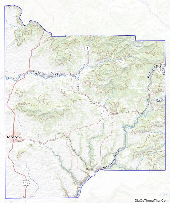
According to the U.S. Census Bureau, the county has a total area of 1,077 square miles (2,790 km), of which 1,076 square miles (2,790 km) is land and 0.9 square miles (2.3 km) (0.09%) is water. It is part of the Palouse, a wide and rolling portion of the middle Columbia basin.
Adjacent counties
- Benewah County – north
- Shoshone County – northeast
- Clearwater County – east
- Nez Perce County – south
- Whitman County, Washington – west
Major highways
- US 95
- SH-3
- SH-6
- SH-8
- SH-9
- SH-99
National protected area
- St. Joe National Forest (part)
Latah County Topographic Map
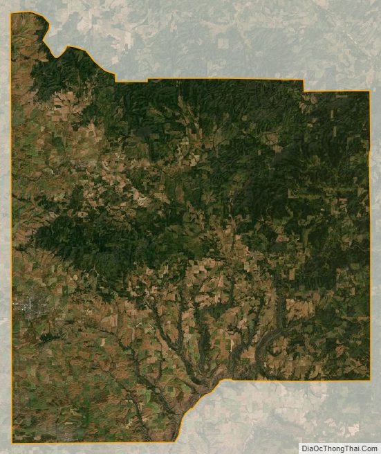
Latah County Satellite Map
Latah County Outline Map