Bear Lake County is a county in the U.S. state of Idaho. As of the 2020 United States Census the county had a population of 6,372. The county seat is Paris, and Montpelier is the largest city.
The county is named after Bear Lake, a large alpine lake at an elevation of 5,924 feet (1,806 m) above sea level. The northern half of the 20-mile-long (32 km) lake is in Idaho, the southern half in Utah. The county was established in 1875 in the Idaho Territory, fifteen years before statehood.
| Name: | Bear Lake County |
|---|---|
| FIPS code: | 16-007 |
| State: | Idaho |
| Founded: | January 5, 1875 |
| Named for: | Bear Lake |
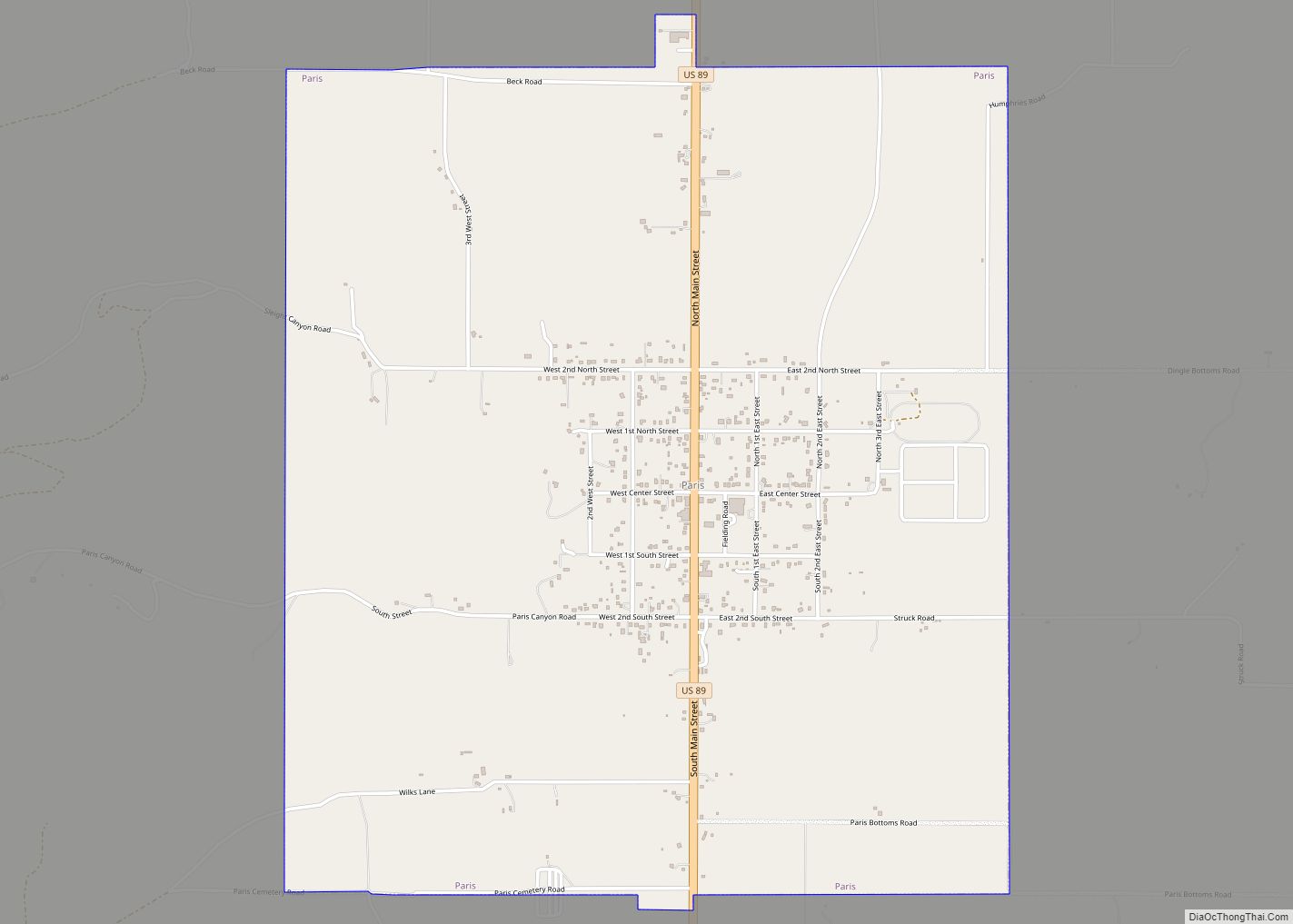
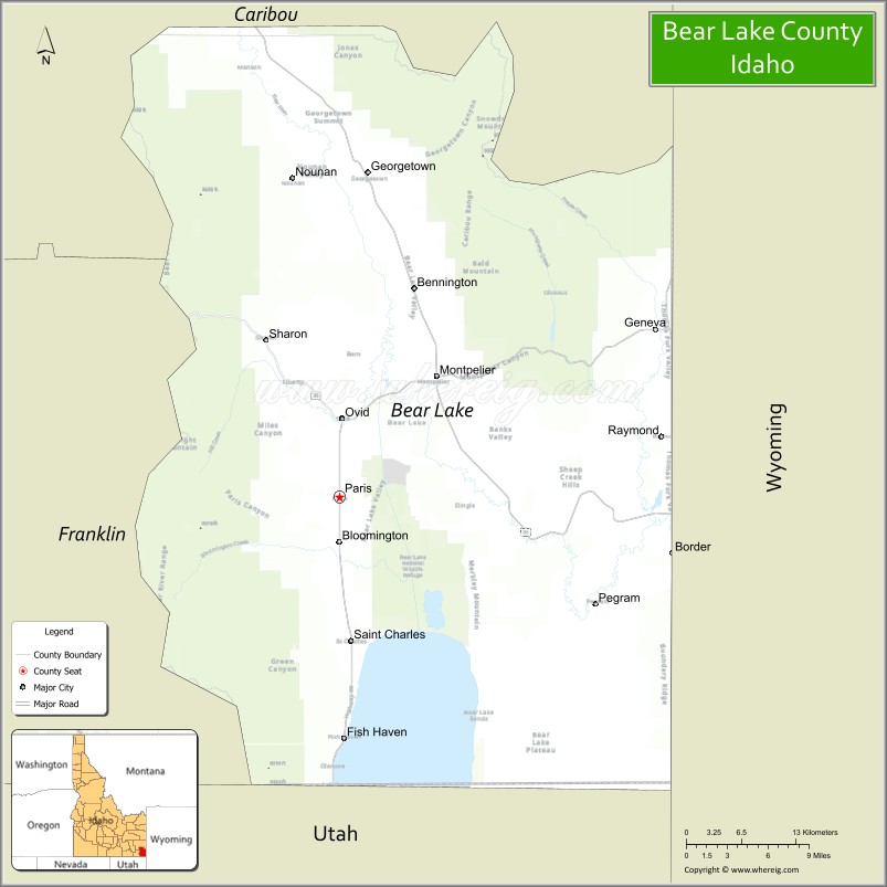
| Seat: | Paris |
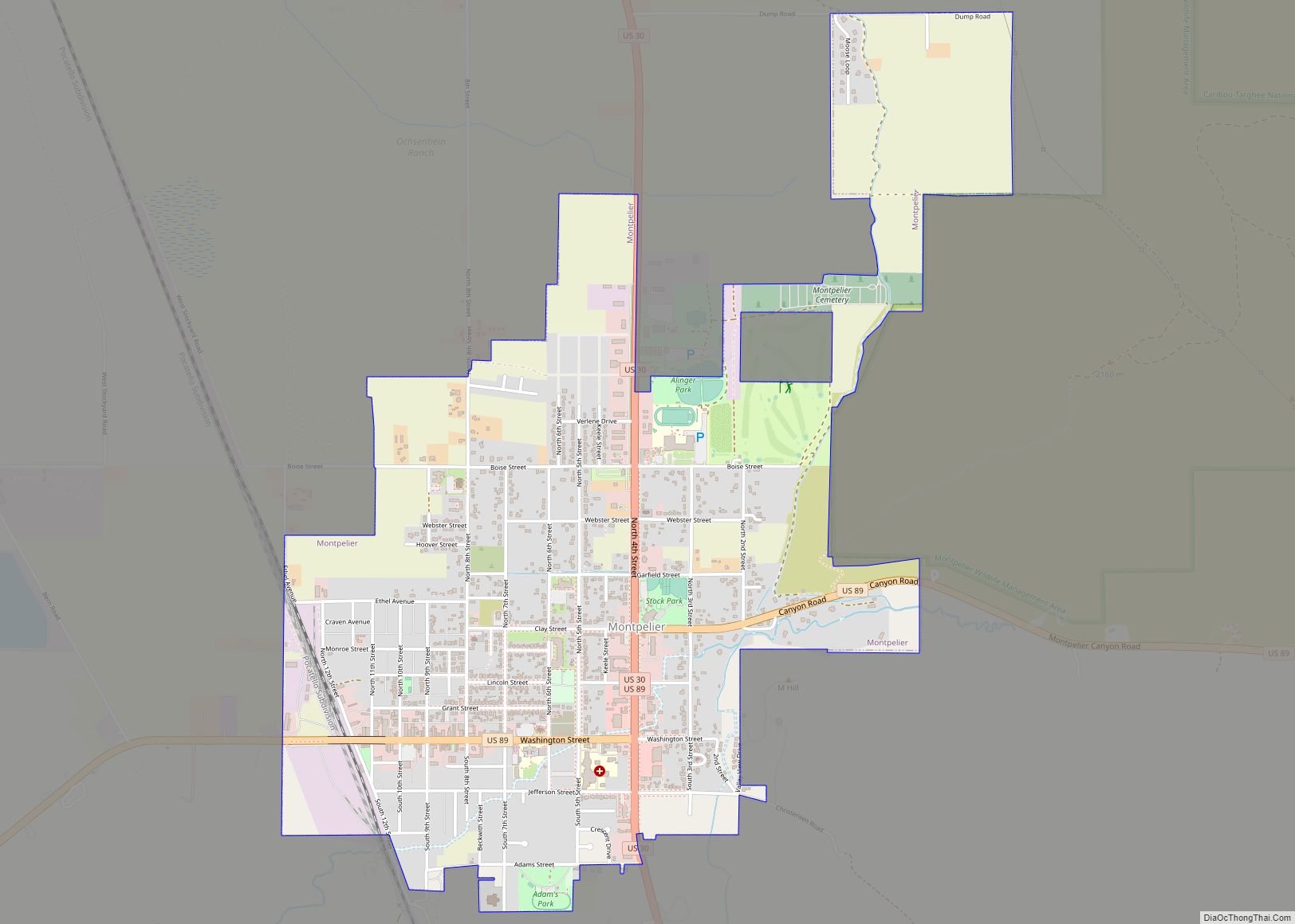
| Largest city: | Montpelier |
| Total Area: | 1,049 sq mi (2,720 km²) |
| Land Area: | 975 sq mi (2,530 km²) |
| Total Population: | 6,372 |
| Population Density: | 6/sq mi (2/km²) |
| Time zone: | UTC−7 (Mountain) |
| Summer Time Zone (DST): | UTC−6 (MDT) |
| Website: | bearlakecounty.info |
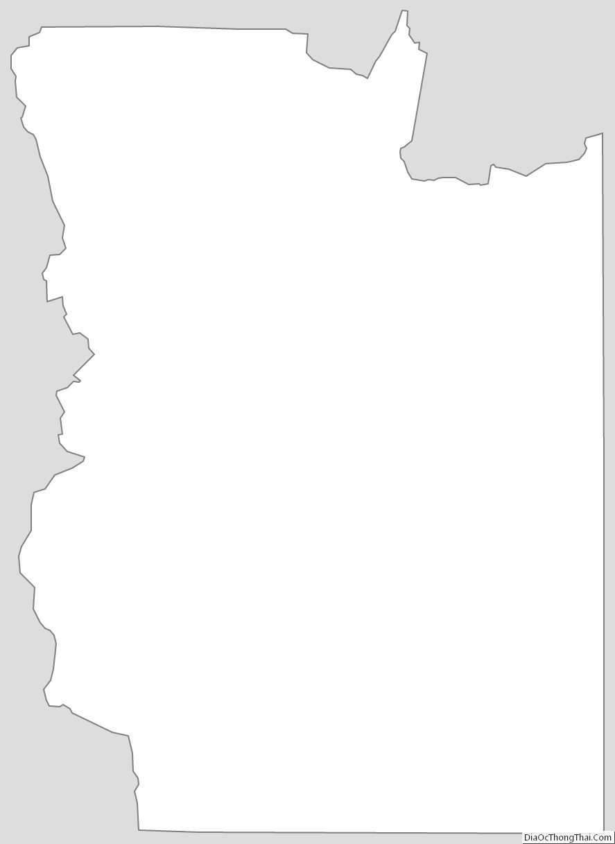
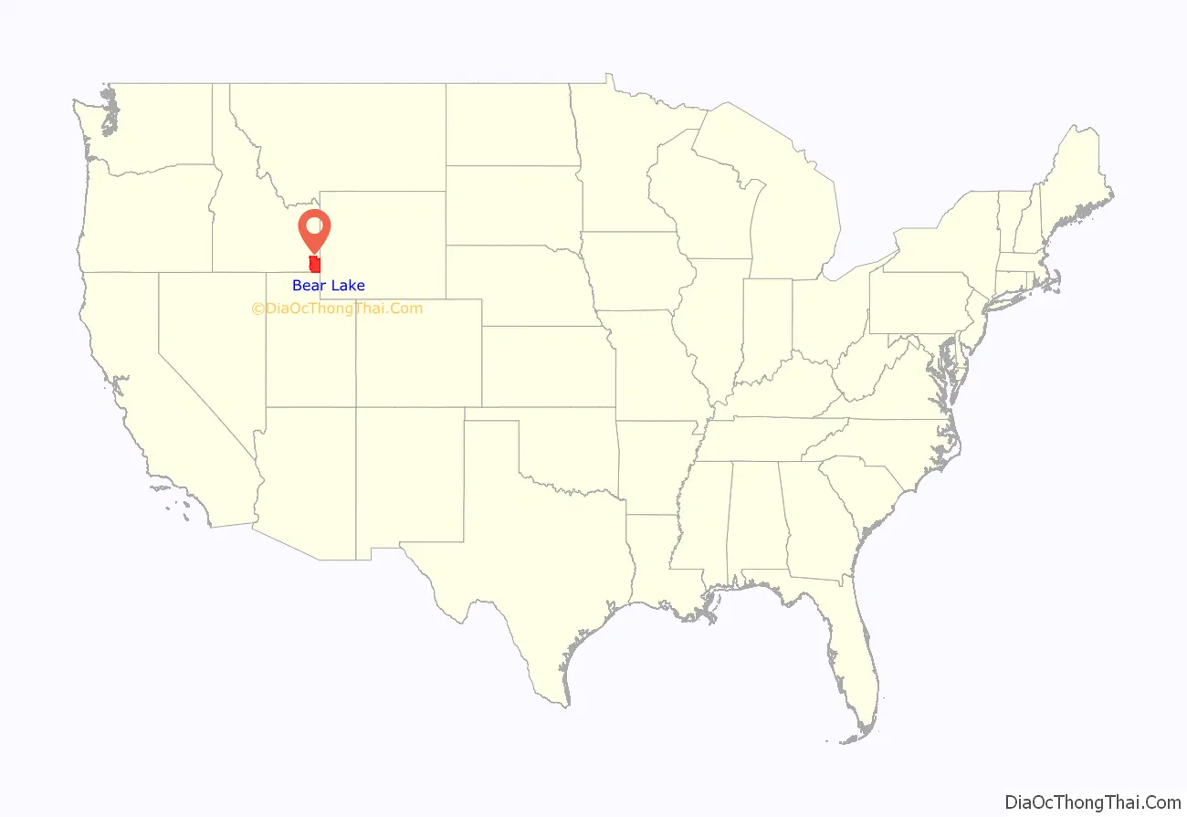
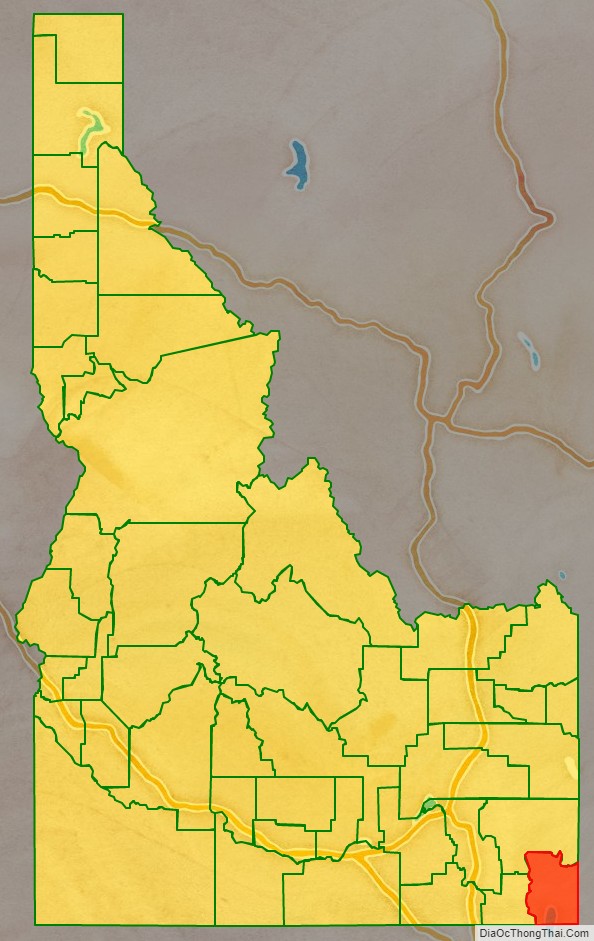
Bear Lake County location map. Where is Bear Lake County?
History
Peg-Leg Smith established a trading post on the Oregon Trail from 1848 to 1850 near Dingle.
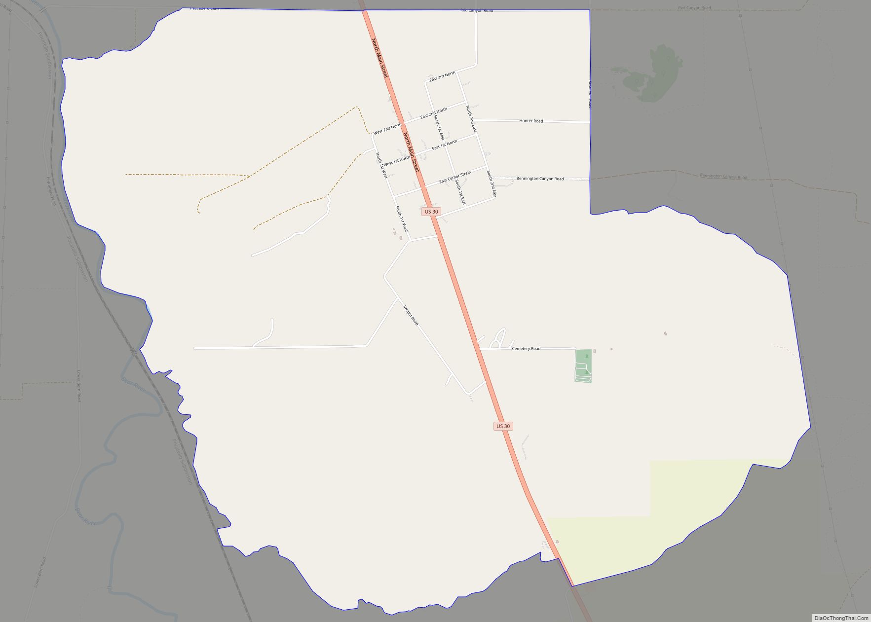
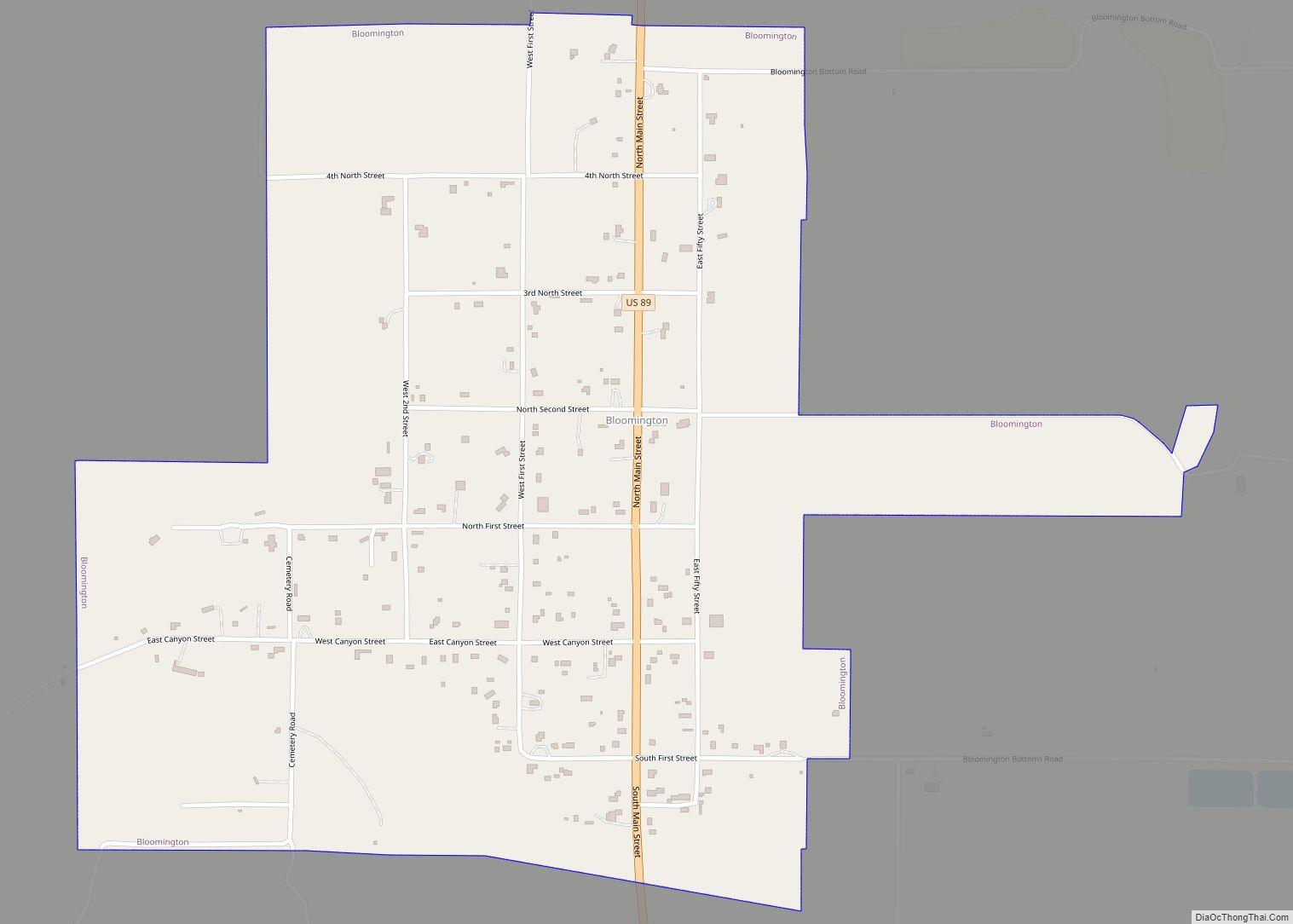
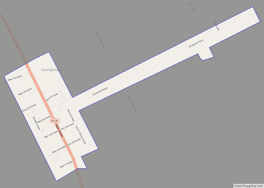
The first settlement in the Bear Lake Valley was Paris, settled by Mormon pioneers led by Charles Rich on September 26, 1863; thirty families comprised the original settlement. In the spring of 1864, Montpelier was settled on the other side of the valley on the Oregon Trail. Bear Lake County was established in 1875, and the railroad was extended through Montpelier in 1892.
Bear Lake County Road Map
Geography
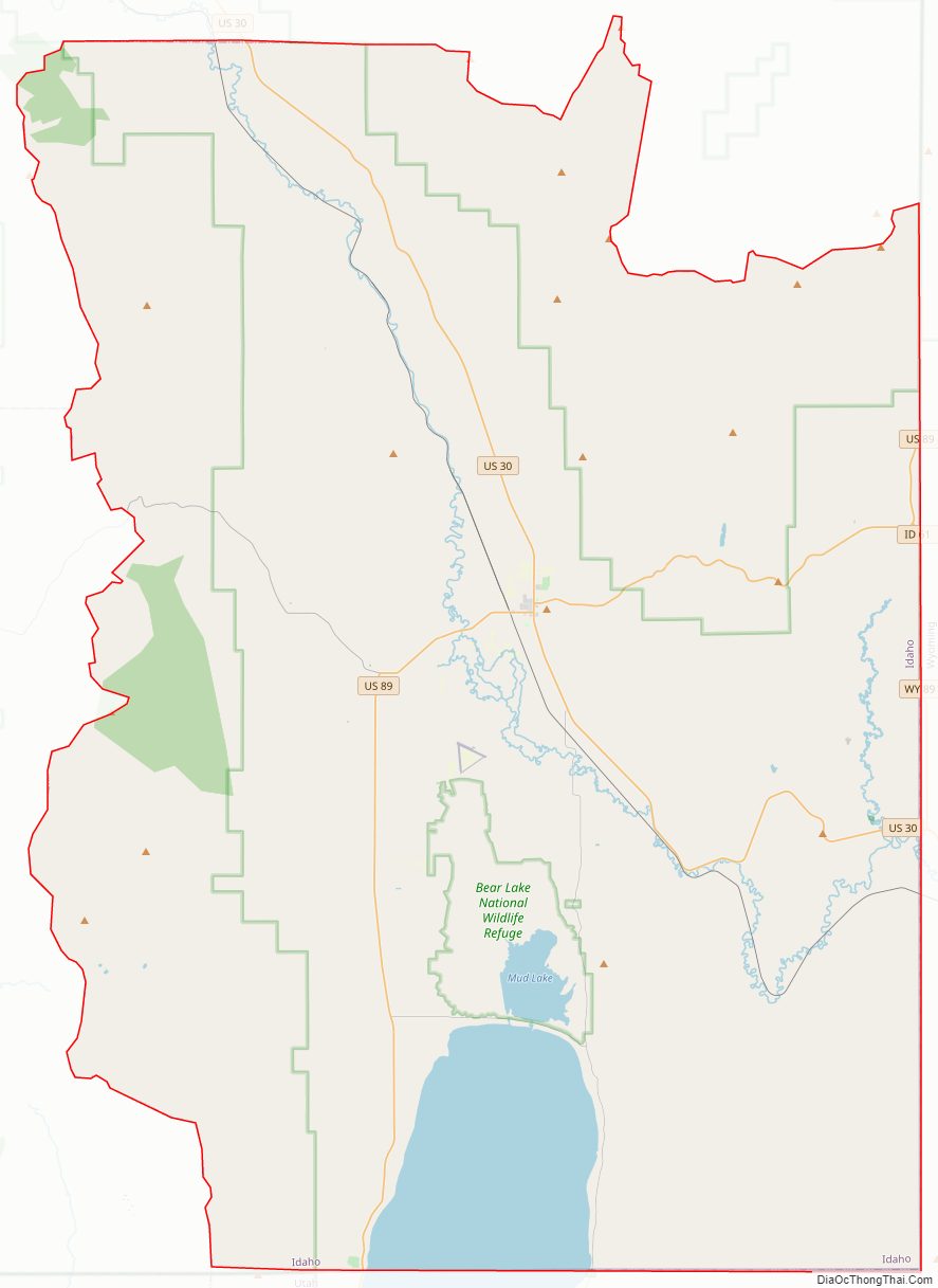
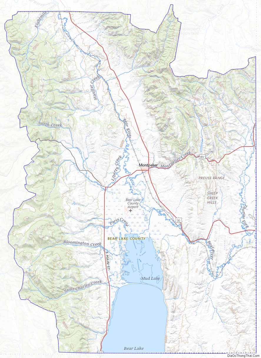
Bear Lake County comprises the state’s southeast corner. Its east boundary line abuts the west line of the state of Wyoming and its south boundary line abuts the north line of the state of Utah. According to the U.S. Census Bureau, the county has a total area of 1,049 square miles (2,720 km), of which 975 sq mi (2,530 km) is land and 75 sq mi (190 km) (6.1%) is water. The county is centered on Bear Lake Valley and includes the surrounding mountain ranges. The valley is high in the mountains, with its lowest elevation over 5,900 feet (1,800 m) above sea level. The highest point in the county is Meade Peak at 9,957 feet (3,035 m).
Adjacent counties
- Caribou County – north
- Lincoln County, Wyoming – east
- Rich County, Utah – south
- Franklin County – west
Major highways
- – US 30
- – US 89
- – SH-36
- – SH-61
National protected areas
- Bear Lake National Wildlife Refuge
- Cache National Forest (part)
- Caribou National Forest (part)
Bear Lake County Topographic Map
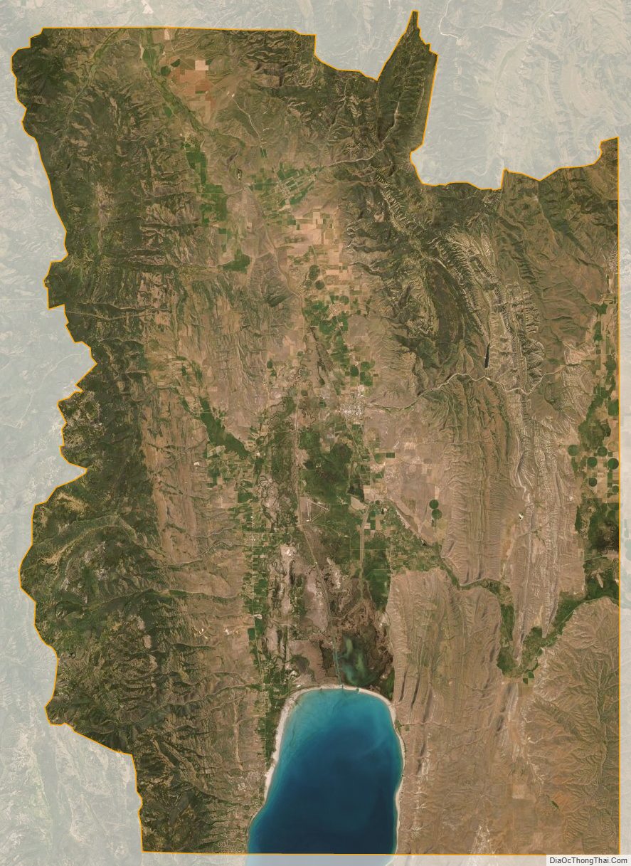
Bear Lake County Satellite Map
Bear Lake County Outline Map