Lucas County is a county located in the northwestern part of the U.S. state of Ohio. It is bordered to the east by Lake Erie, and to the southeast by the Maumee River, which runs to the lake. As of the 2020 census, the population was 431,279. Its county seat and largest city is Toledo, located at the mouth of the Maumee River on the lake. The county was named for Robert Lucas, 12th governor of Ohio, in 1835 during his second term. Its establishment provoked the Toledo War conflict with the Michigan Territory, which claimed some of its area. Lucas County is named after Robert Lucas, 12th Governor of the State of Ohio and the winning governor of the Toledo War, and is the central county of the Toledo Metropolitan Statistical Area.
| Name: | Lucas County |
|---|---|
| FIPS code: | 39-095 |
| State: | Ohio |
| Founded: | June 20, 1835 |
| Named for: | Robert Lucas |
| Seat: | Toledo |
| Largest city: | Toledo |
| Total Area: | 596 sq mi (1,540 km²) |
| Land Area: | 341 sq mi (880 km²) |
| Total Population: | 431,279 |
| Population Density: | 720/sq mi (280/km²) |
| Time zone: | UTC−5 (Eastern) |
| Summer Time Zone (DST): | UTC−4 (EDT) |
| Website: | www.co.lucas.oh.us |
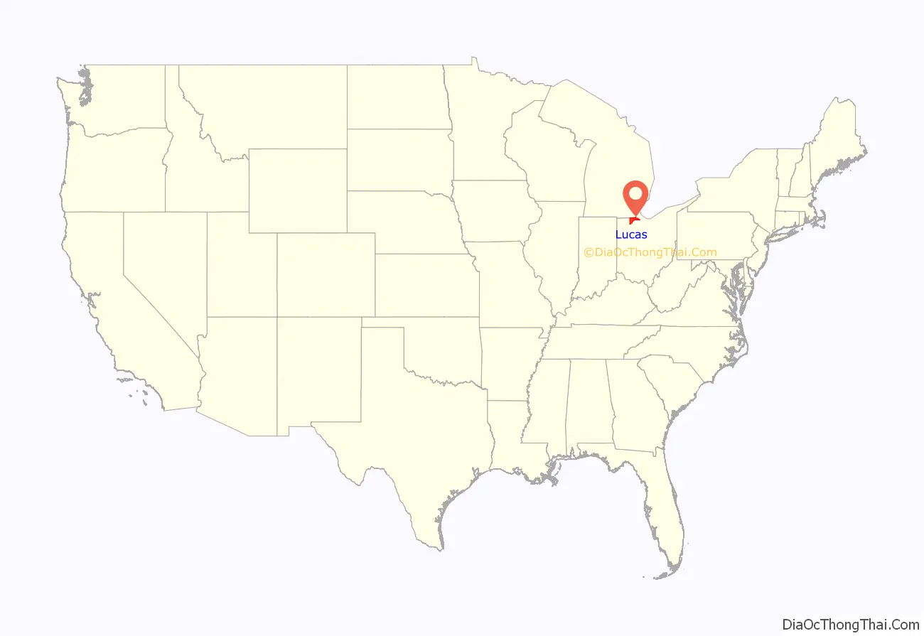
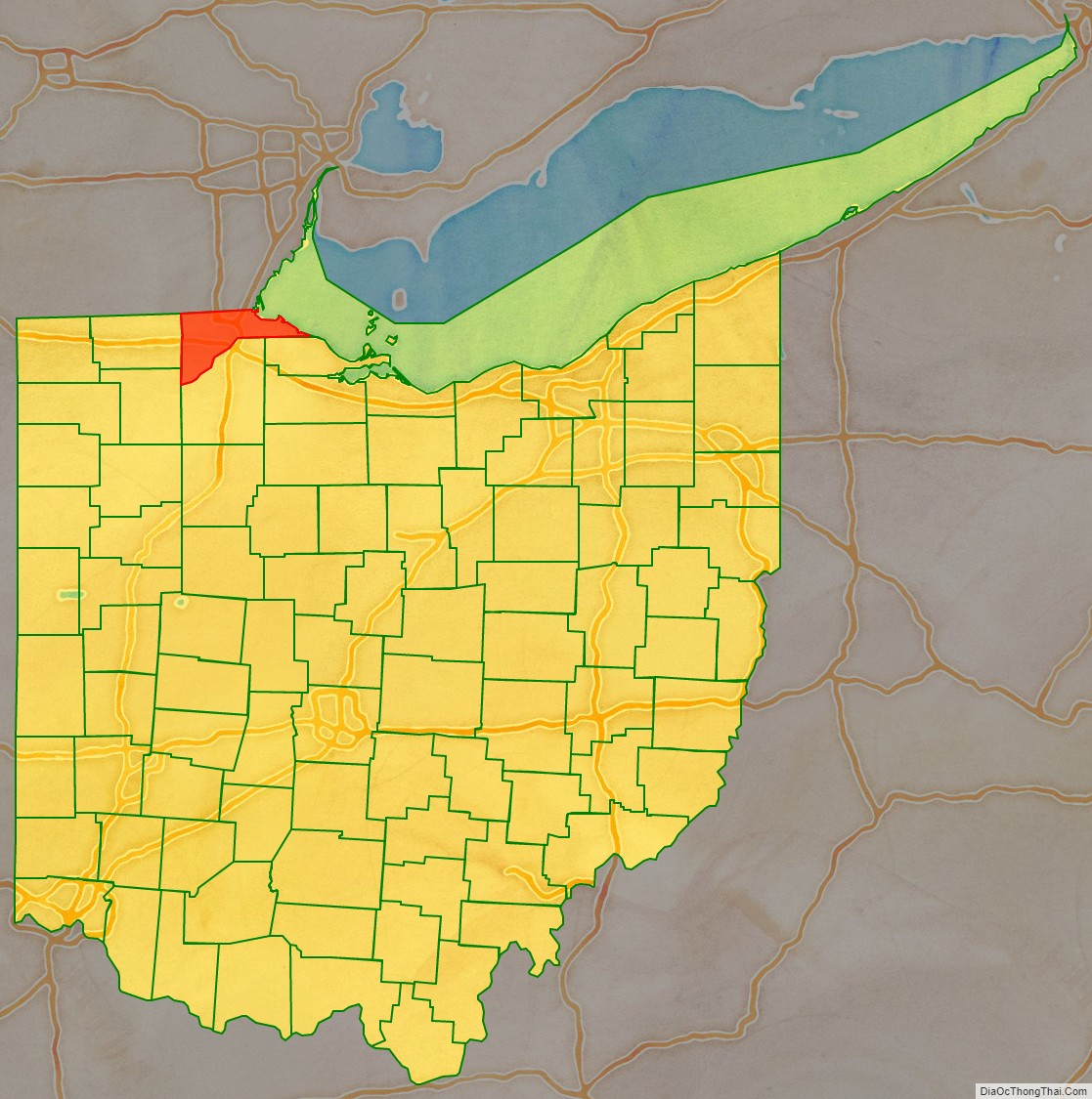
Lucas County location map. Where is Lucas County?
History
On August 20, 1794, near the site of the present-day town of Maumee, American forces led by General Anthony Wayne won a decisive victory over allied Indian forces at the Battle of Fallen Timbers after years of conflict in what was known as the Northwest Indian War. The defeat of the Native forces resulted in the opening of the entire Northwest Territory for white settlement. Northwest Ohio was occupied chiefly by villages and bands of the Odawa people, who had trading relations with the French at Fort Detroit since 1701. Other Odawa were located in southeast Michigan and further north on the peninsula. They ceded much of that territory in the Treaty of Greenville but retained control of lands along the Maumee River until after the War of 1812. The last Odawa band, that of Ottokee, grandson of Chief Pontiac, left the Maumee River area for Kansas in 1839.
Lucas County was established in 1835. At that time, both Ohio and Michigan Territory claimed sovereignty over a 468-square-mile (1,210 km) region along their border (see Toledo War). When Michigan petitioned Congress for statehood in 1835, it sought to include the disputed territory within its bounds. In response, the Ohio General Assembly formally organized part of the area as Lucas County, naming it after the incumbent governor of Ohio, Robert Lucas.
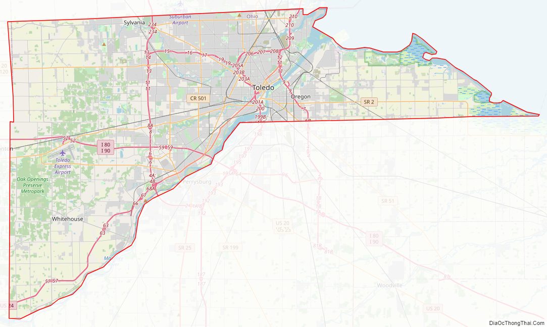
Lucas County Road Map
Geography
According to the United States Census Bureau, the county has a total area of 596 square miles (1,540 km), of which 341 square miles (880 km) is land and 255 square miles (660 km) (43%) is water. It is the fourth-smallest county in Ohio by land area. Much of the county lies within what was at the time of its establishment, a vast network of forests, wetlands, and grasslands known as the Great Black Swamp.
Rivers
- Maumee River
- Ottawa River
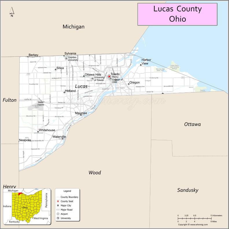
Adjacent counties
- Monroe County, Michigan (north)
- Essex County, Ontario (northeast)
- Ottawa County (southeast)
- Wood County (south)
- Henry County (southwest)
- Fulton County (west)
- Lenawee County, Michigan (northwest)
National protected areas
- Cedar Point National Wildlife Refuge
- Ottawa National Wildlife Refuge (part)
- West Sister Island National Wildlife Refuge
Major highways
- I-73 (future)
- I-75
- I-80 / I-90 / Ohio Turnpike
- I-280
- I-475
- US 20
- US 20A
- US 23
- US 24
- US 223
- SR 2
- SR 25
- SR 51
- SR 64
- SR 65
- SR 120
- SR 184
- SR 246
- SR 295
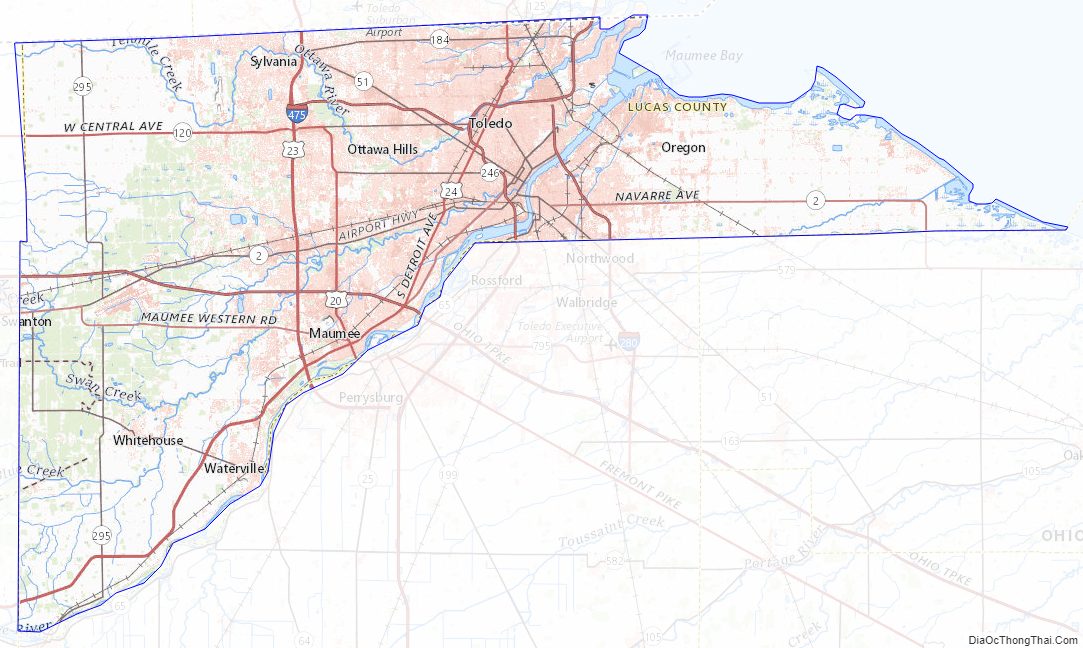
Lucas County Topographic Map
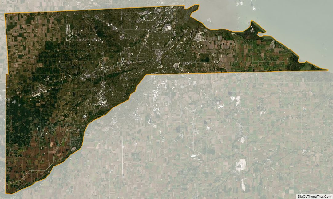
Lucas County Satellite Map
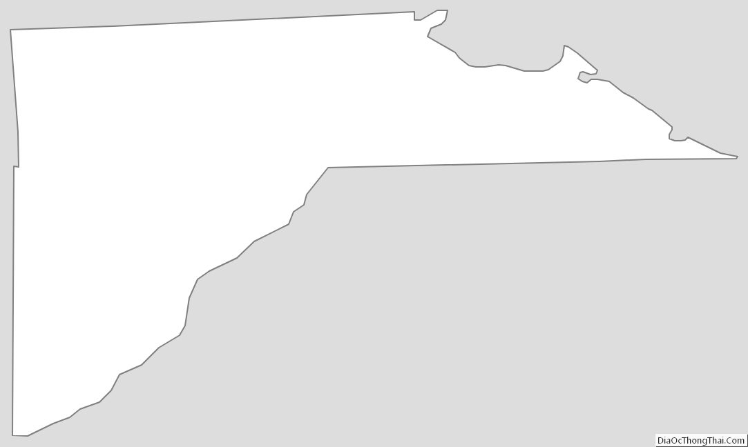
Lucas County Outline Map