| Name: | Athens County |
|---|---|
| FIPS code: | 39-009 |
| State: | Ohio |
| Founded: | March 1, 1805 |
| Named for: | Athens, Greece |
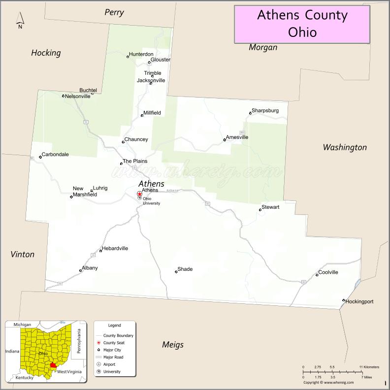
| Seat: | Athens |
| Largest city: | Athens |
| Total Area: | 508 sq mi (1,320 km²) |
| Land Area: | 504 sq mi (1,310 km²) |
| Total Population: | 62,431 |
| Population Density: | 120/sq mi (50/km²) |
| Time zone: | UTC−5 (Eastern) |
| Summer Time Zone (DST): | UTC−4 (EDT) |
| Website: | www.co.athensoh.org |
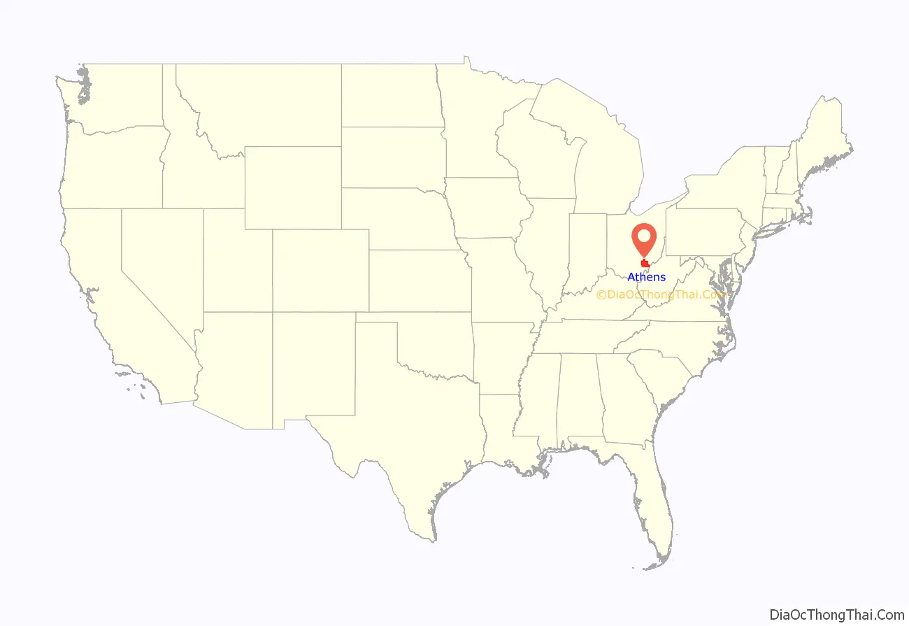
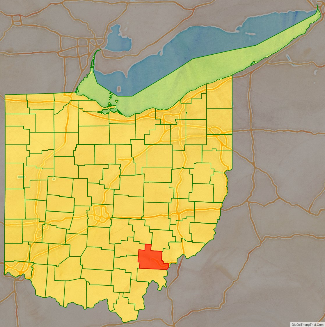
Athens County location map. Where is Athens County?
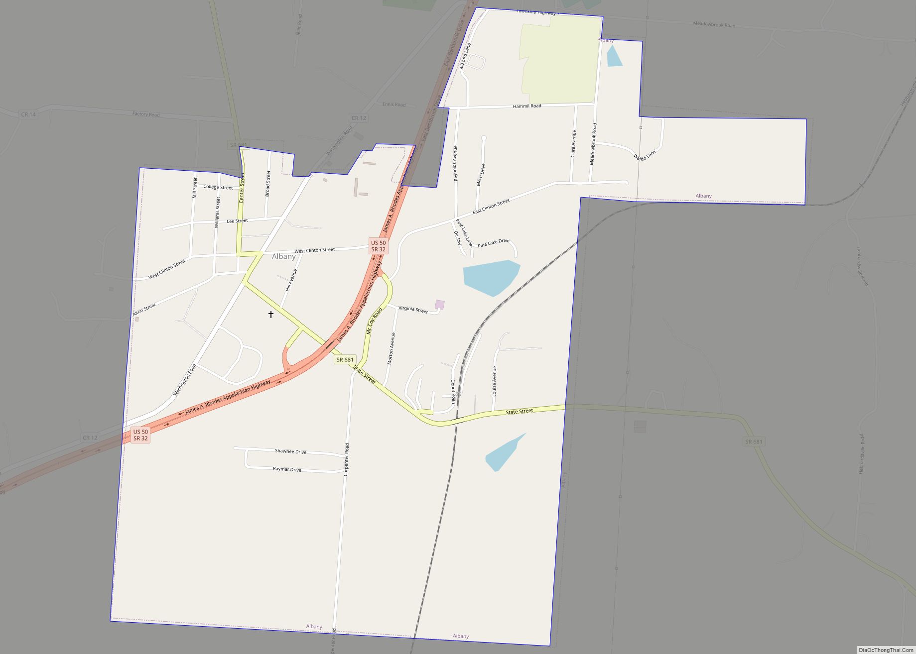
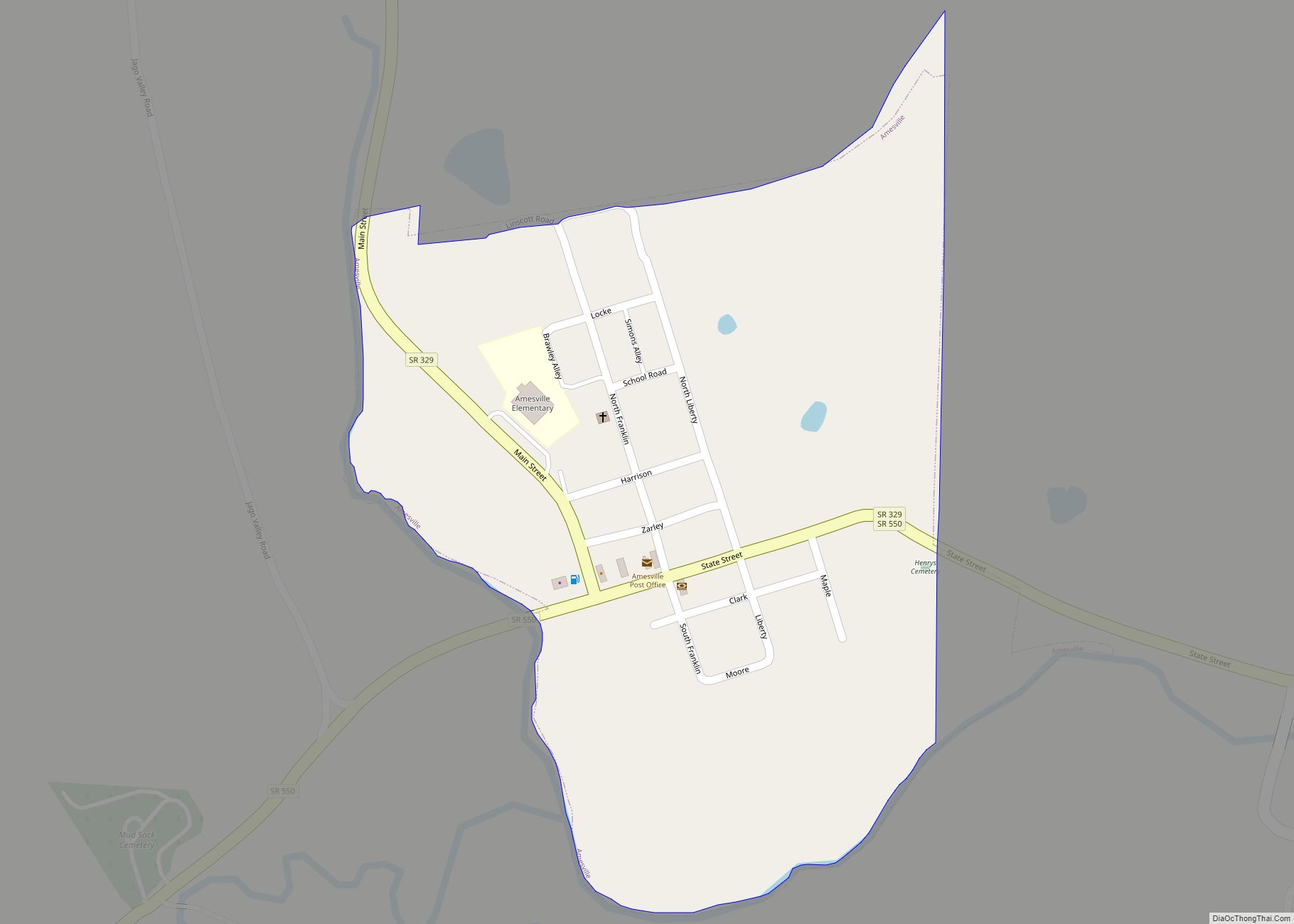
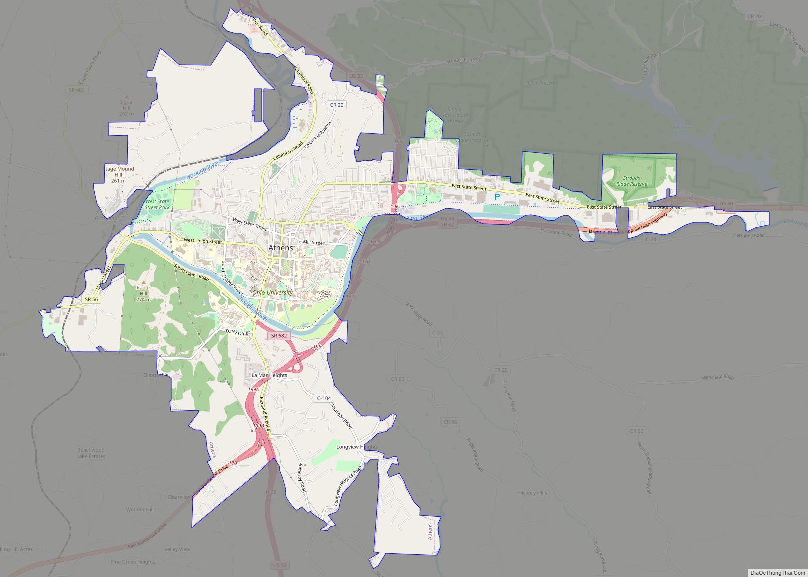
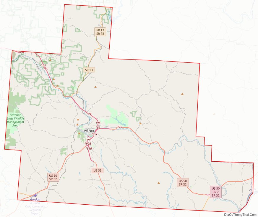
Athens County Road Map
Geography
The county has a total area of 508 square miles (1,320 km), of which 504 square miles (1,310 km) is land and 4.8 square miles (12 km) (1.0%) is water.
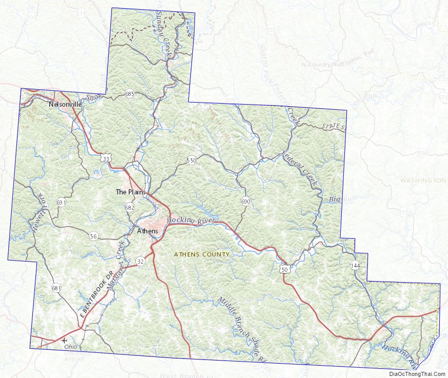
Athens County is located in the Unglaciated Allegheny Plateau region of Ohio. It features steep, rugged hills, with typical relief of 150 to 400 feet, deeply dissected by stream valleys, many of them remnant from the ancient Teays River drainage system. Most of Athens County is within the Hocking River watershed, with smaller areas in the Shade River and Raccoon Creek watersheds. The Hocking River joins the Ohio River at the unincorporated village of Hockingport in Athens County.
Adjacent counties
- Perry County (north)
- Morgan County (northeast)
- Washington County (east)
- Wood County, West Virginia (southeast)
- Meigs County (south)
- Vinton County (west)
- Hocking County (northwest)
Athens County Topographic Map
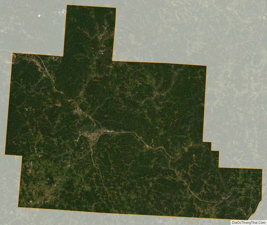
Athens County Satellite Map
Athens County Outline Map